
| Walk: | Elterwater, Spedding Crag, Silver How, Little Castle How, Blea Rigg, Stickle Tarn, Pavey Ark, Thunacar Knott, Harrison Stickle, Loft Crag, Mark Gate, New Dungeon Ghyll Hotel, Chapel Stile, Elterwater | ||
| Start Point: | Elterwater | Grid Ref: | NY 329 051 |
| Distance: | 12 miles | Ascent: | 3,800 feet |
| Weather: | Warm and sunny but hazy in the distance | ||
| Accompanied by: |
On my own |
||
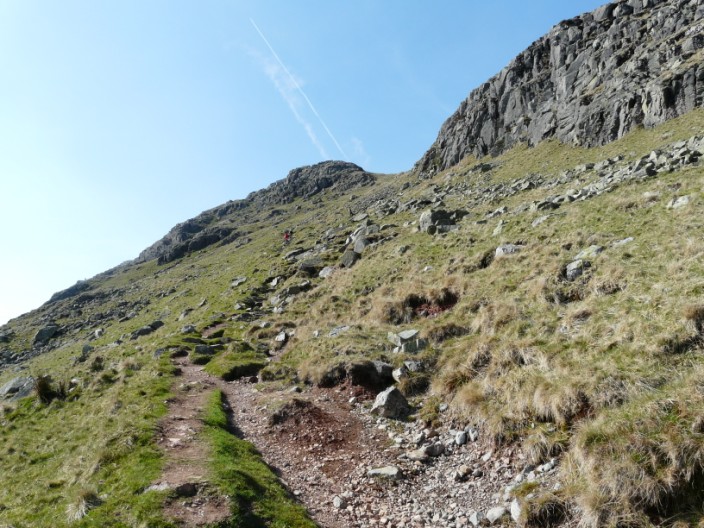
| Comments: | I took the route over Dow Bank and Spedding Crag to get to Silver How then on past Blea Rigg and up North Gully to Pavey Ark. After visiting Thunacar Knott I headed across to Harrison Stickle and descended by the steeper path. I had intended doing Pike O' Stickle but decided to miss it out as time was getting on. From Loft Crag I headed down towards Mark Gate - I prefer this route to the other path down which I have taken previously. | ||
Scroll down to see photos of the walk
Silver How from the path across Spedding Crag, with Wyke Plantation to the right
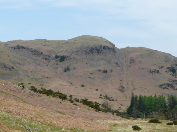
The steep path up Silver How can be seen just above the trees
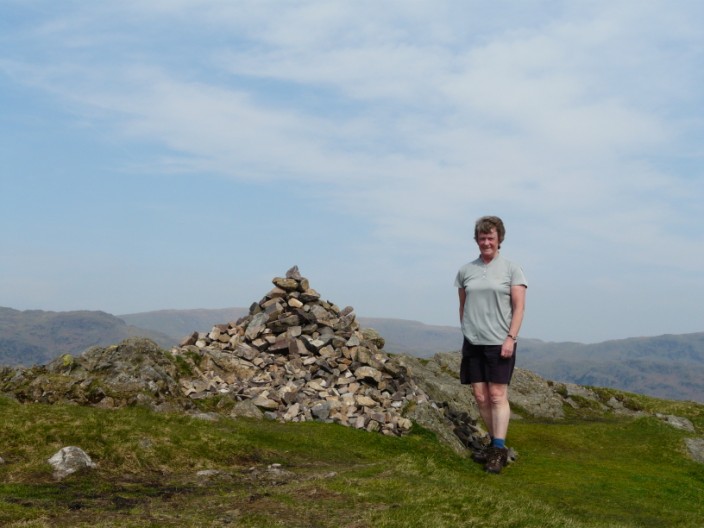
Silver How
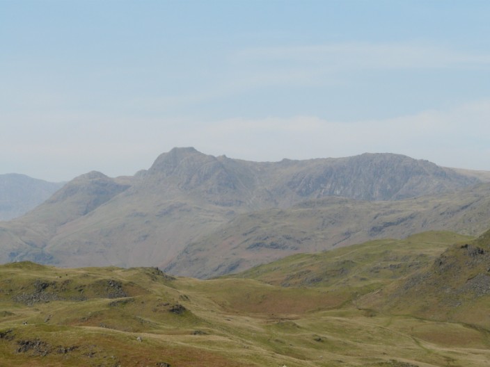
The Langdales from Silver How
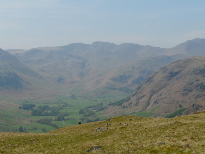
Crinkle Crags overlook the Oxendale Valley at the head of Great Langdale
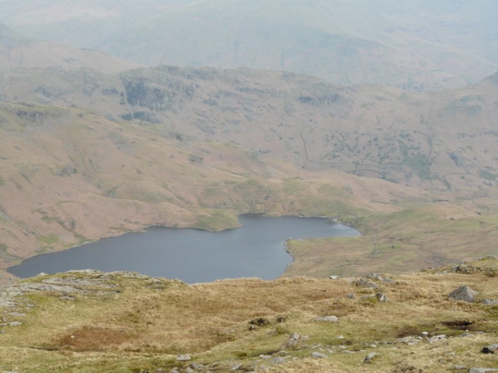
Easedale Tarn from Blea Rigg
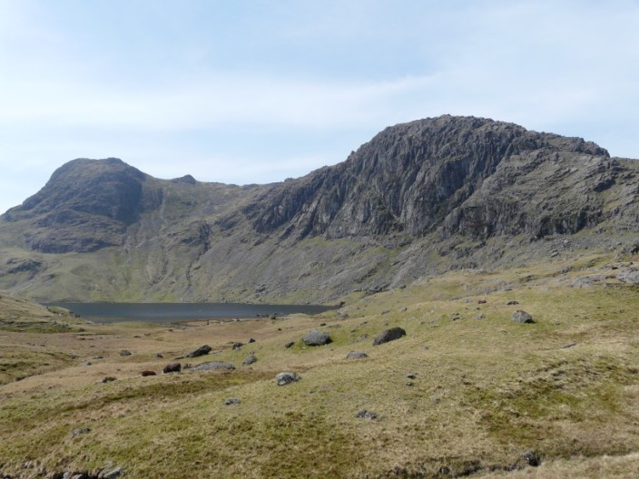
Stickle Tarn with Harrison Stickle on the left and Pavey Ark on the right
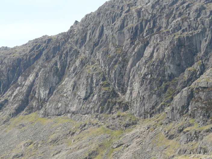
Zooming in on Jack's Rake
Stickle Tarn from the start of North Gully
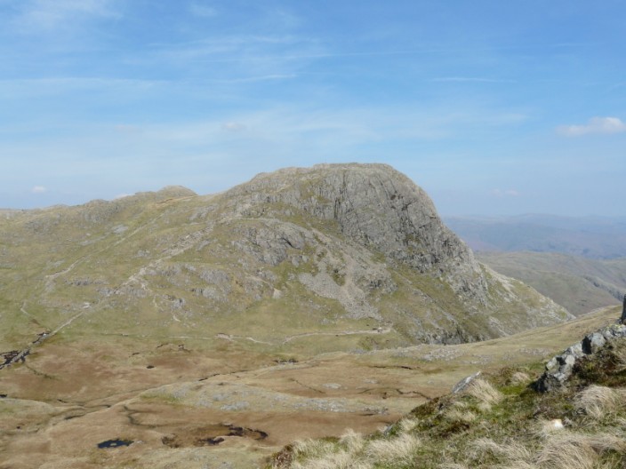
Pavey Ark
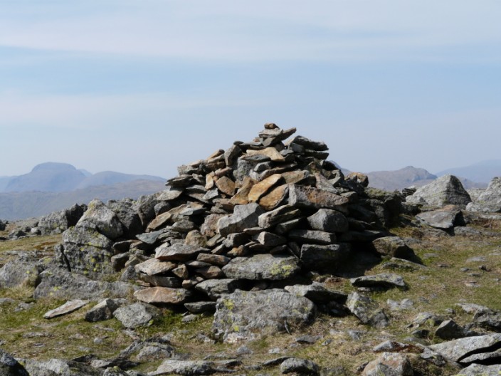
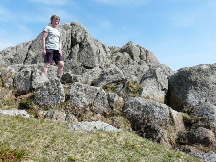
Thunacar Knott
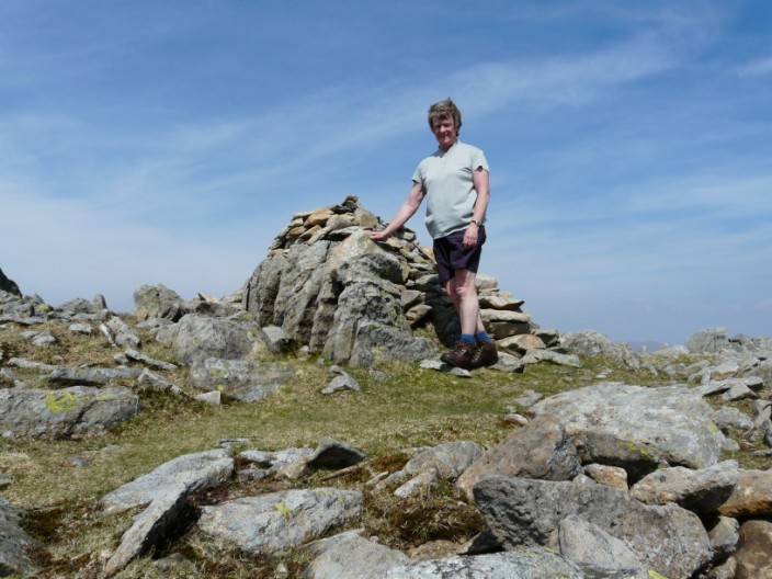
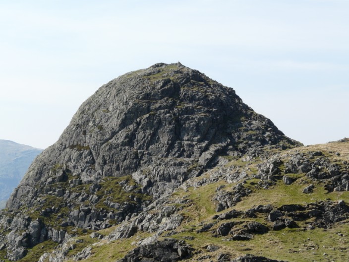
Harrison Stickle
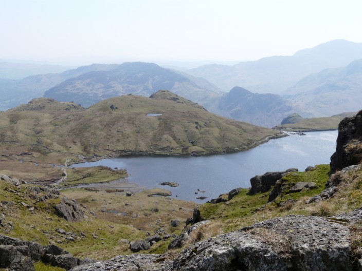
Pavey Ark and Stickle Tarn from Harrison Stickle
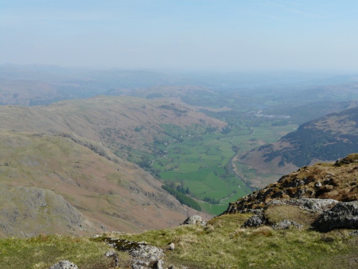
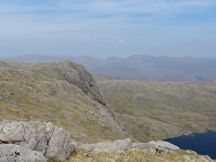
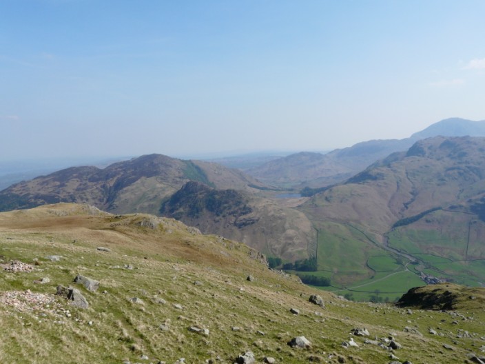
The Langdale Valley from Harrison Stickle
Pike O' Stickle from Harrison Stickle
Harrison Stickle from Loft Crag
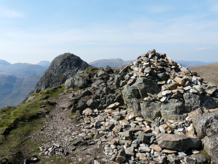
Loft Crag with Pike O' Stickle to the left
The route down from Loft Crag
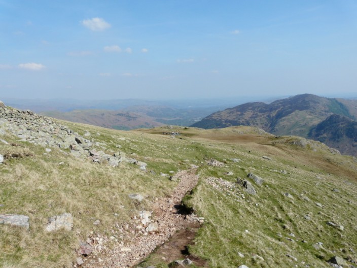
The route down to Mark Gate
Blea Tarn with Side Pike and Lingmoor Fell to the right
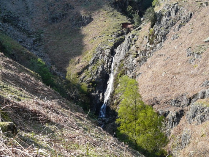
Dungeon Ghyll waterfall