Sunday, 7th February 2010
| Walk: | Ingleton, Fell Lane, Ingleborough, Humphrey Bottom, Chapel-le-Dale, Ellerbeck Gill, Twisleton, Scar End | ||
| Start Point: | Ingleton main car park | Grid Ref: | SD 694 730 |
| Distance: | 11.5 miles | Ascent: | 2,500 feet |
| Weather: | A dull and cold day with mist on Ingleborough and patches of snow in gullies, etc. | ||
| Accompanied by: |
Marie, Phil, Sheila and Tony |
||
| Comments: | After a beautiful Saturday it was disappointing to see mist on the hills as we approached Ingleton. An easy track led us away from the car park and before long we started to climb into the mist - over some snowy patches. This being a popular approach to Ingleborough we met a number of groups heading up - and one or two runners heading down - the path! Making our way up steps that had been made across the snowy slopes, we eventually reached the summit trig point, and could just make out the shelter through the mist. A brief stop here for elevenses, and we were on our way to locate the notoriously 'hidden' descent path. The early part of the path looked difficult so whilst our 'daring duo' headed that way, the 'trembling trio' opted for a less exposed alternative. Great care was needed, whichever route was chosen, and some parts navigable only by 'the seat of your pants'! Reaching the meeting of paths at the fence corner we found that our route of descent was completely blocked by unstable snow. After walking further along the ridge we found an alternative route over hummocky grass. It was then an easy, though icy in places, walk across Humphrey Bottom to meander through the limestone pavement and across the valley to Chapel-le-Dale. A short climb took us above Twisleton Scars onto a pleasant green path which we followed to Scar End. An easy descent then led us onto the road which followed back into Ingleton. | ||
Scroll down to see photos of the walk
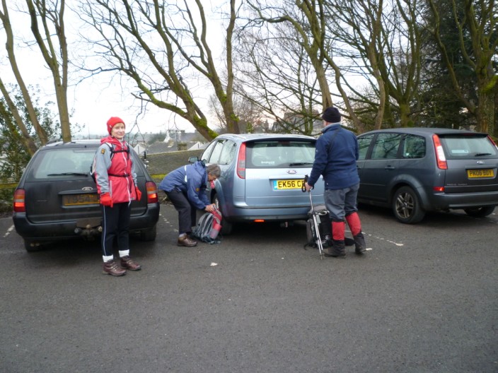
Are we all ready?
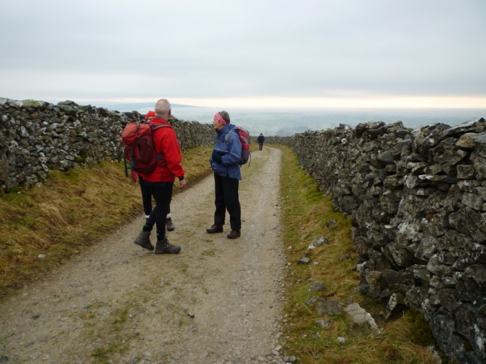
Heading along Fell Lane . . .
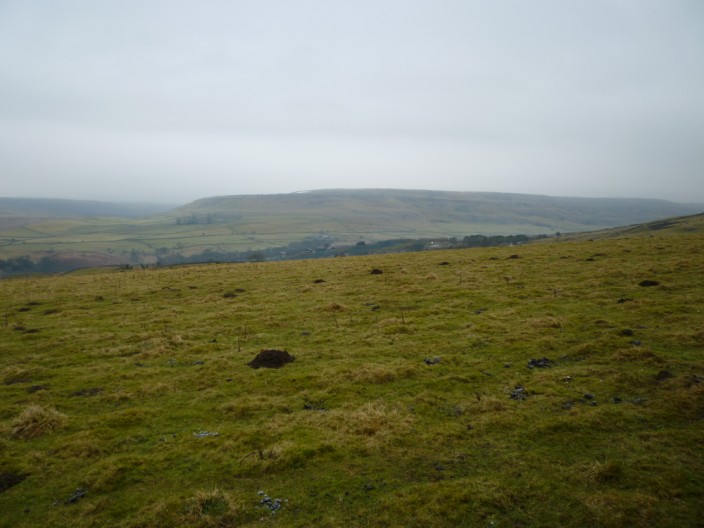
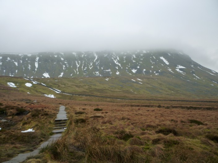
we can see our return route along Twisleton across the valley
Crina Bottom farm is esurrounded by limestone outcrops
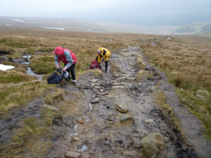
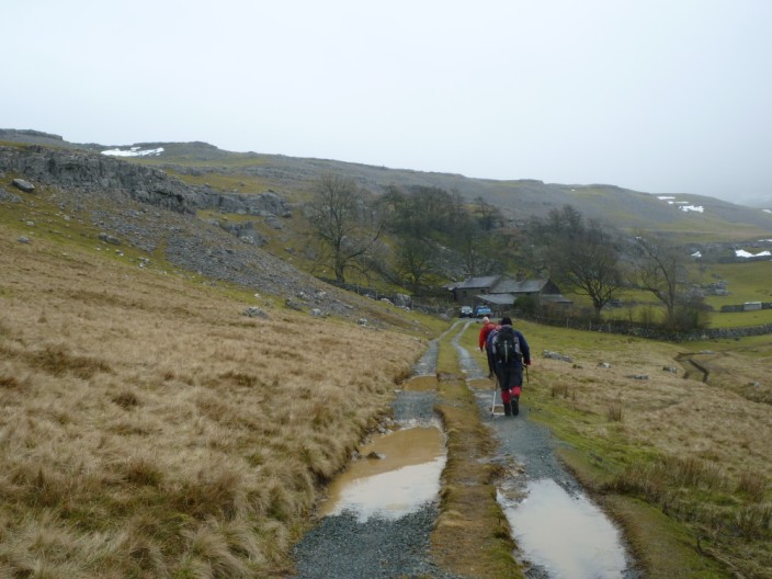
Before long extra layers are required - fortunately the muddy path was frozen!
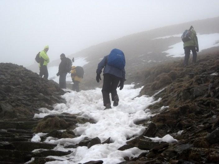
Ascending into the mist . . .
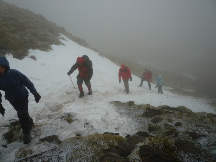
we make our way across the snow slopes . . .
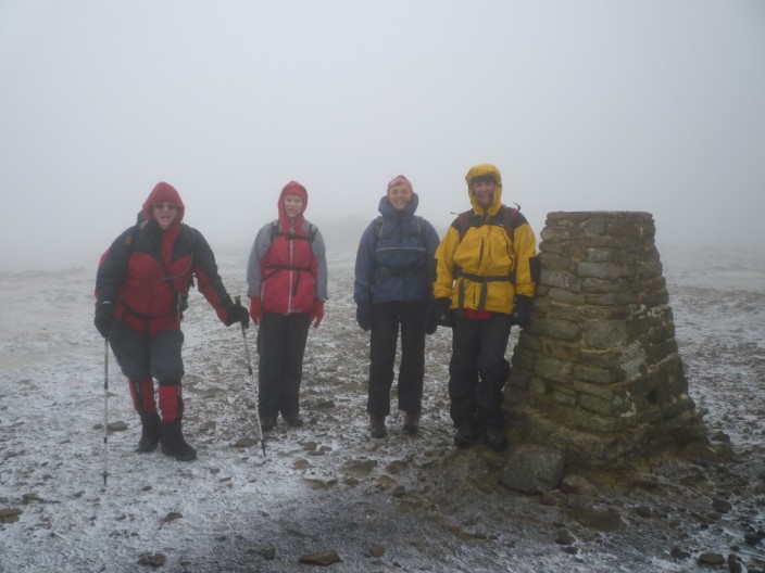
and on to the summit trig point
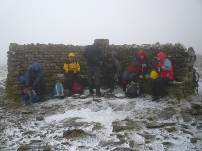
The shelter provides a barrier from the wind as we take a morning break
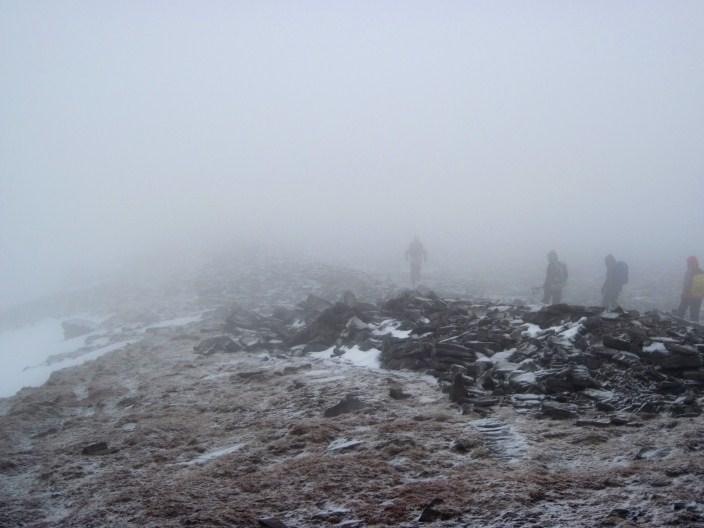
An accurate bearing is needed to find the descent route . . .
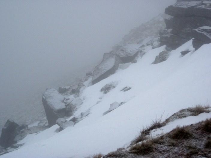
and Phil checks out the edge of the plateau . . .
before we arrive at the 'path on the edge'
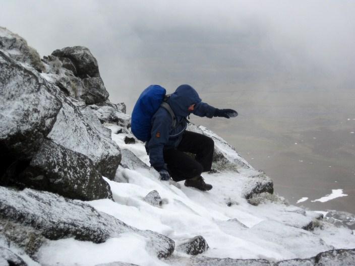
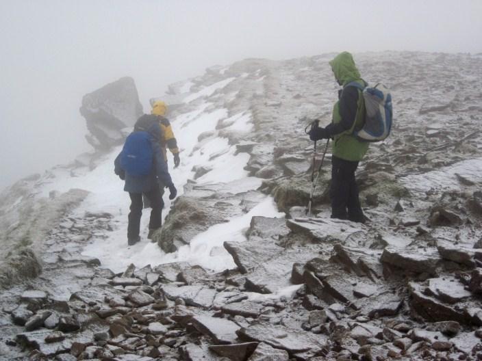
Marie refines her snow and ice skills . . .
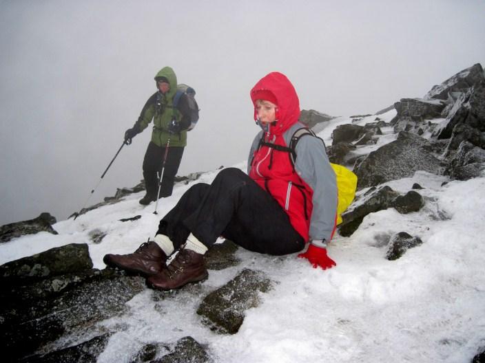
but Sheila and Kath take a less exposed route
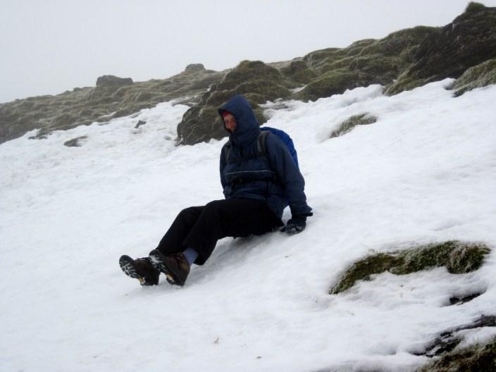
Further down Marie . . .
seems to have forgotten her sledge!
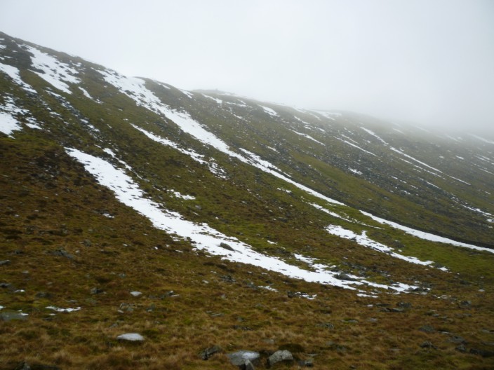
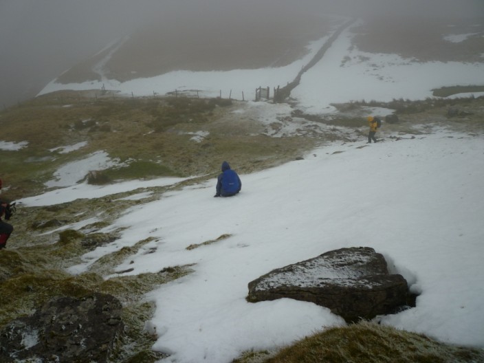
With the stepped section blocked by snow . . .
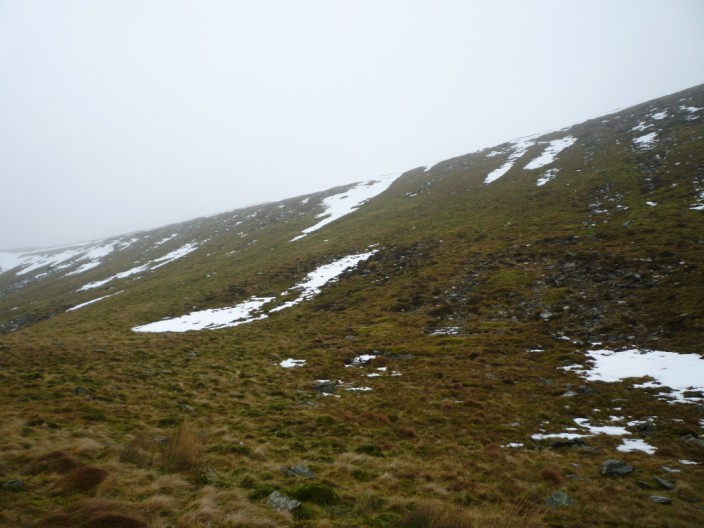
we find an alternative route down . . .
and looking back Ingleborough has still got his hat on
And the walkers crossed 'two by two'
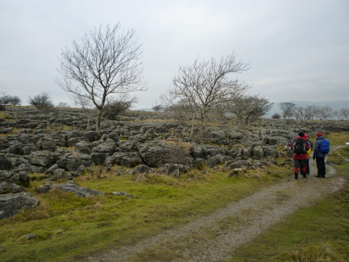
As we reached the limestone pavement . . .
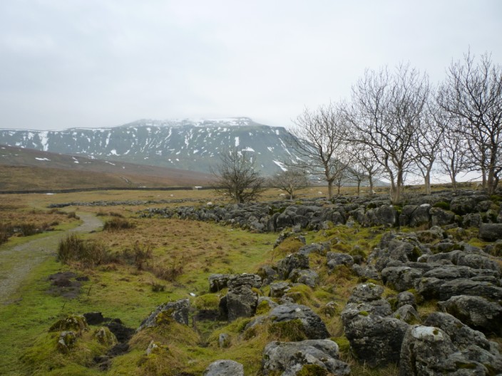
the mist had cleared off Ingleborough (for a short time) . . .
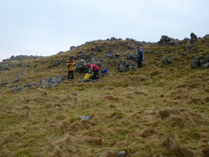
and the rocks provided a good spot for lunch
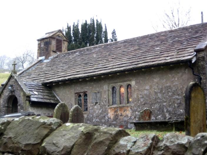
Getting ready for the afternoon service at Chapel-le-Dale
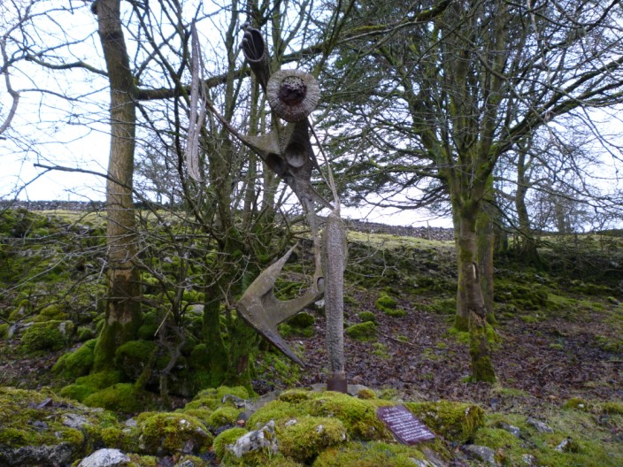
An unusual sculpture . . .
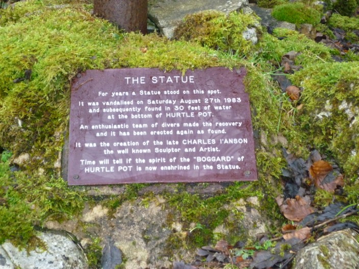
with an unusual history
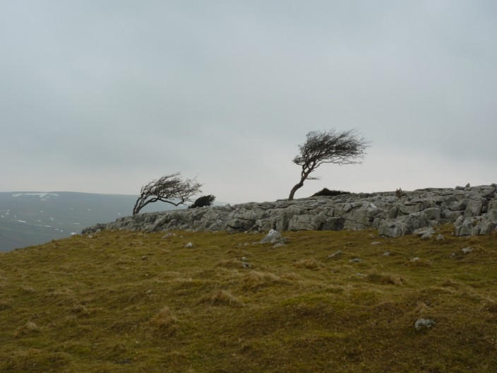
No guesses which way the wind blows!
Return to 2010 Diary Return to top