Thursday, 21st March 2013


Walk: Anglezarke Reservoir, Rivington Pike, Winter Hill, Spitlers Edge, Great Hill
Start Point: White Coppice Grid Ref: SD 619 190
Distance: 12.4 miles Ascent: 2,570 feet
Weather: Sunny but a cold wind Time: 5 hours
Comments: From White Coppice I headed initially for Anglezarke Reservoir, walking in the opposite direction to that usually taken. After passing Yarrow Reservoir I headed up to Rivington Pike where I stopped for elevenses. It was then a battle against the wind to make my way across to Winter Hill. Taking the short route down, the initial descent was quite slippery with a light covering of snow. At Hordern Stoops it was interesting to see a trial surface which was easy to walk on. The cross shelter on Great Hill kept the wind at bay while I ate lunch. It was then all downhill to White Coppice. A good brisk walk.

Scroll down to see photos of the walk

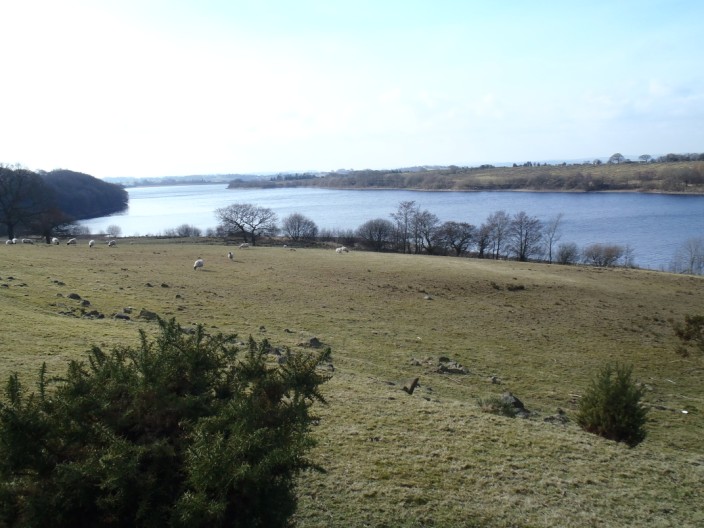
Anglezarke Reservoir . . .


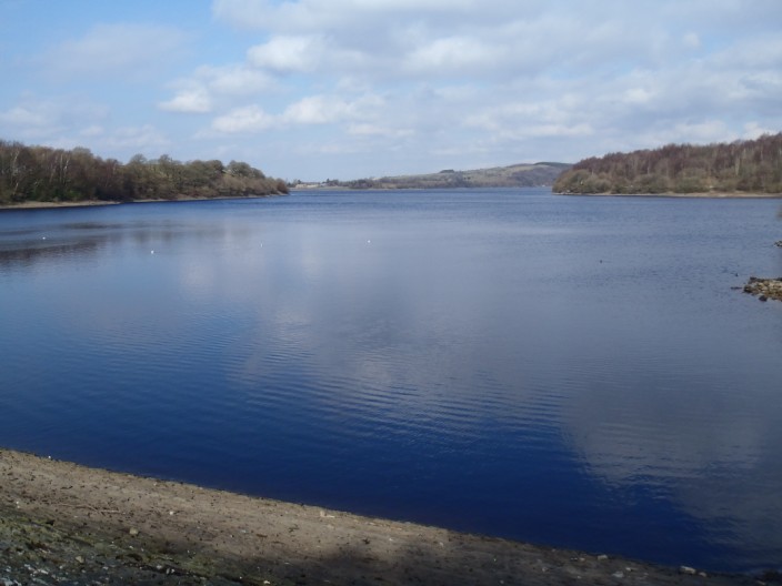
and again from the southern end . . .


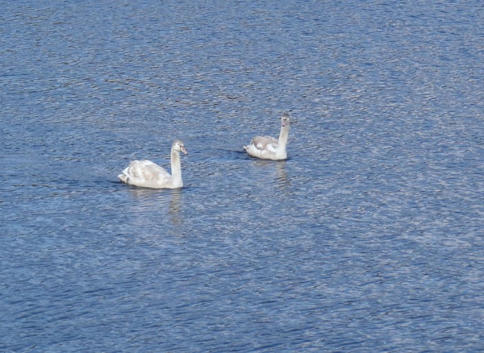
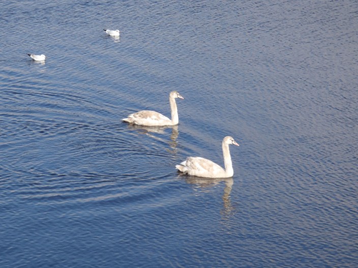
where I spot a couple of last year's cygnets . . .


making their way across the water


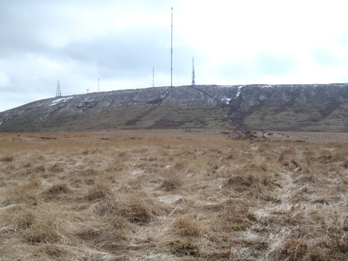
Yarrow and Anglezarke Reservoirs . . .


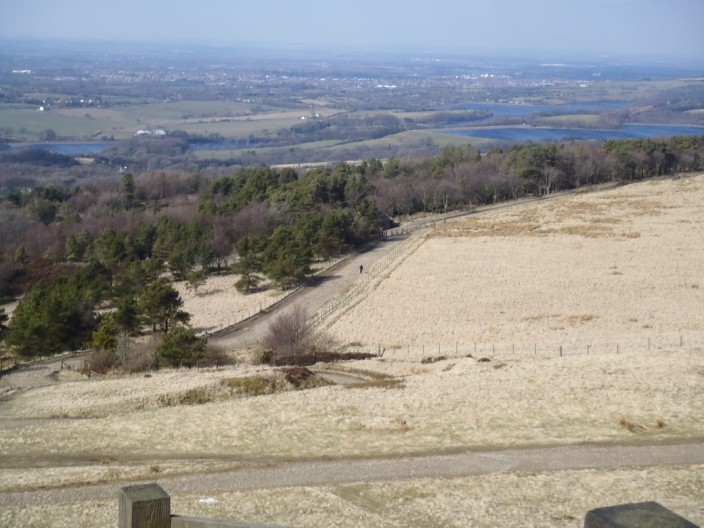
from a very windy Rivington Pike


The route across to Winter Hill . . .


and looking back to Rivington Pike
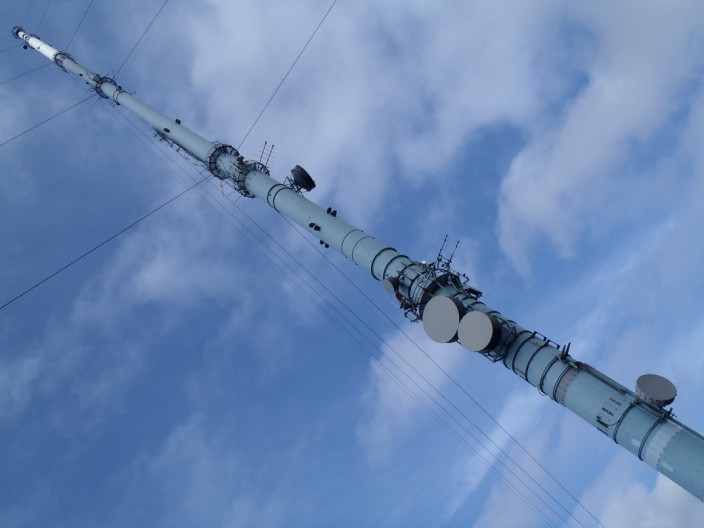
 

It's a long way up!


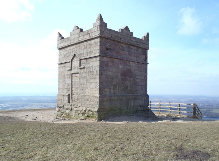
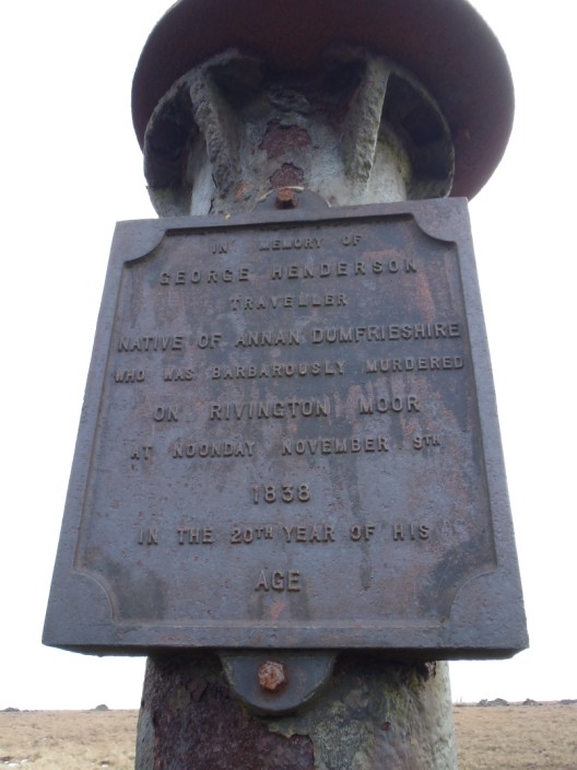
The memorial on Winter Hill . . .
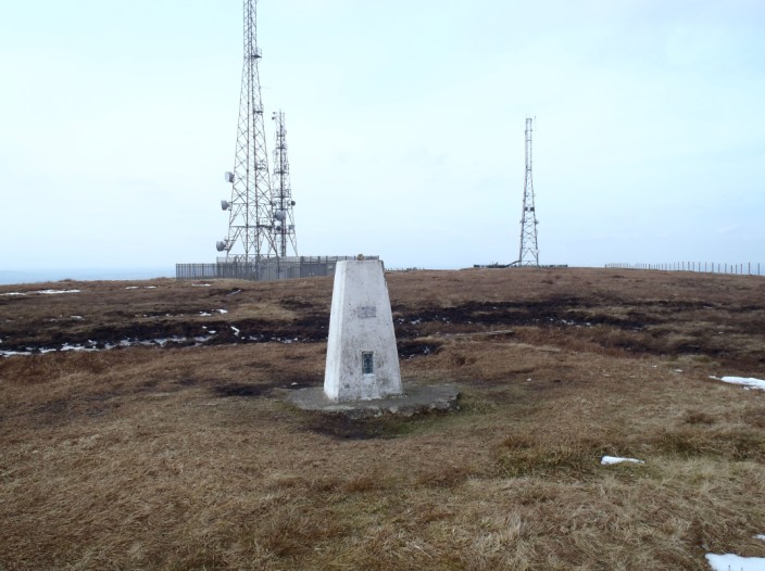
 

and the trig point


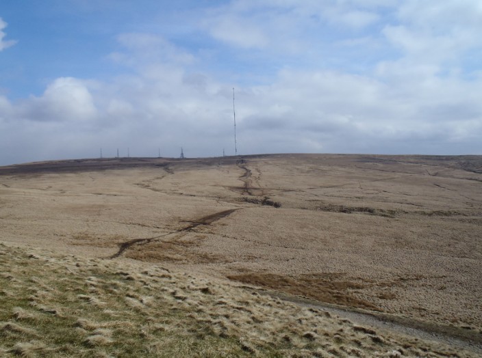
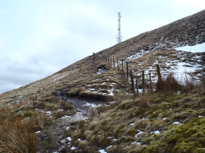
The route down was rather slippery . . .


and can be seen dropping across the flanks of Winter Hill


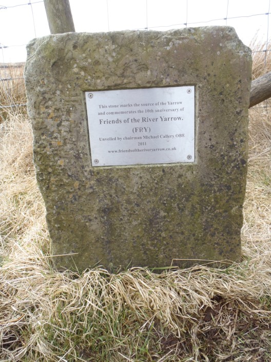
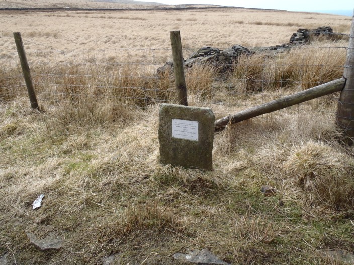
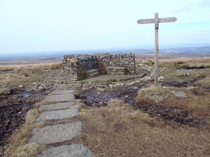
At Hordern Stoops . . .


the stone and plaque . . .


mark the source of the River Yarrow


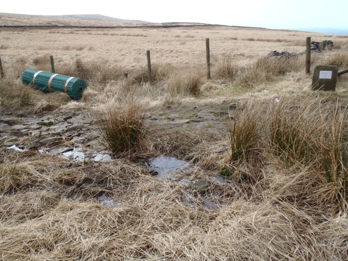
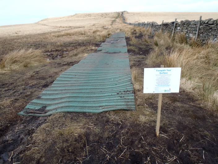
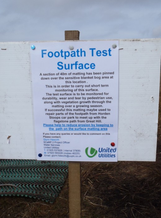
Rather intrusive . . .


but perhaps it will provide a suitable answer to the boggy problems
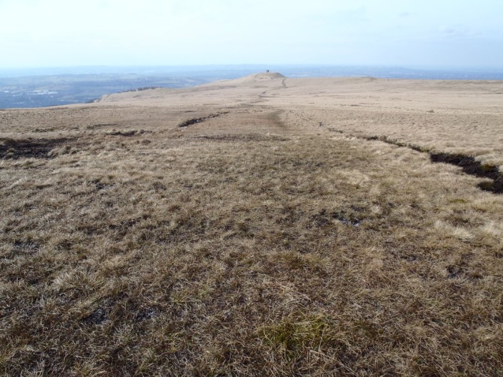
 

Great Hill (again!)

  Return to top

Return to 2013 Diary