Saturday, 25th October 2014
| Walk: | Clerk Hill, Wiswell Wireless Station, Cold Coats, The Rough trig point, Churn Clough Reservoir, Padiham Heights, Black Hill, Shady Walks, Read Park | ||
| Start Point: | Spring Wood car park | Grid Reference: | SD 740 360 |
| Distance: | 11 miles | Ascent: | 2,100 feet |
| Time: | 5.75 hours | ||
| Weather: | Dull morning and sunny afternoon | ||
| Comments: | A slight variation on a previous walk from Whalley to Sabden and Read. Ascending from Wiswell I spotted a path leading up to the cairn on the ridge so decided to explore. While there are no paths marked on the map there are now paths and stiles along the ridge. | ||
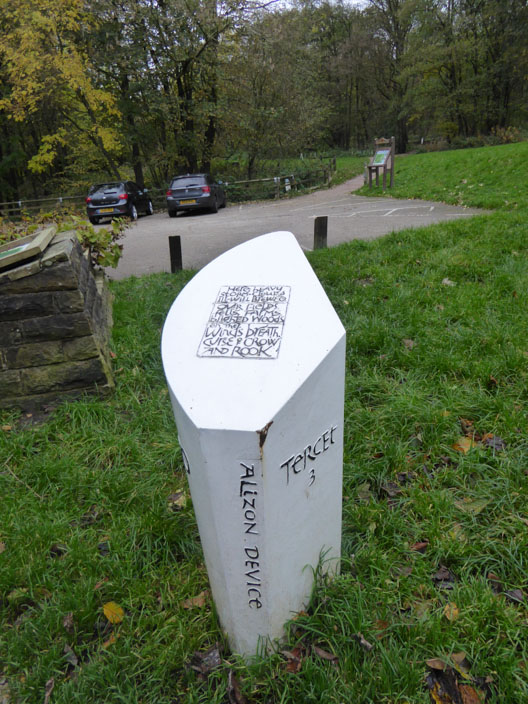
Srping Wood car park now boasts a witch's column . . .
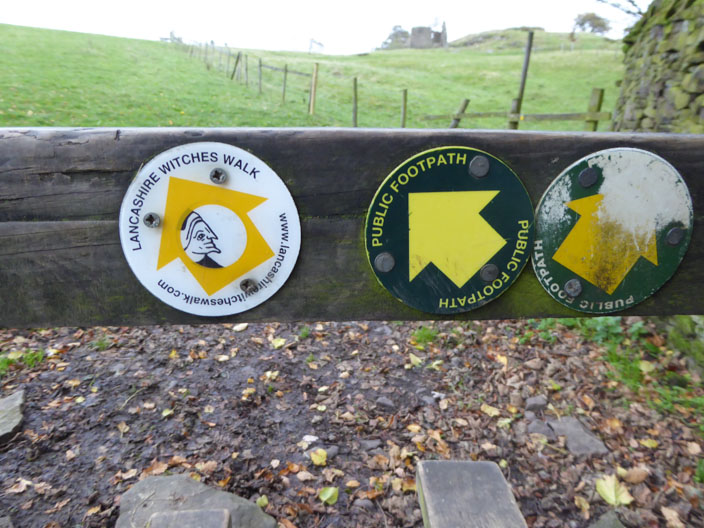
and a new witches' waymerker
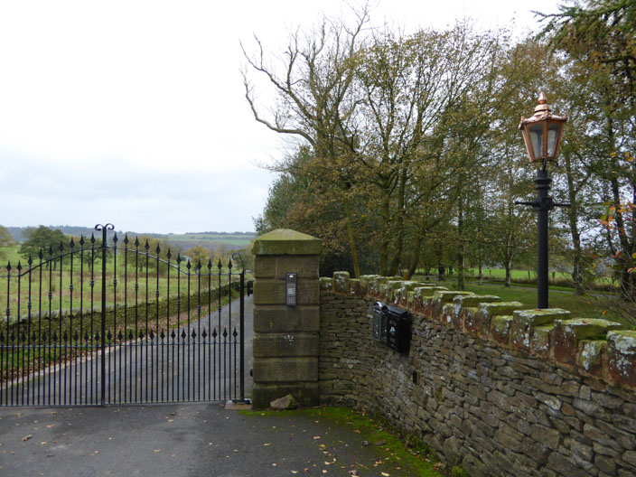
Impressive gates - and lamp . . .
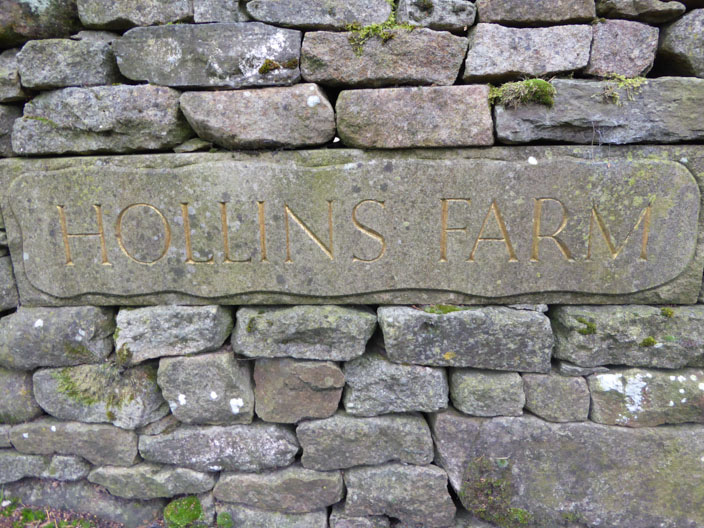
at the entrance to Hollins Farm
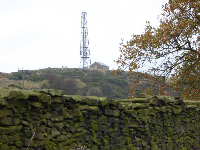
Wiswell wireless station . . .
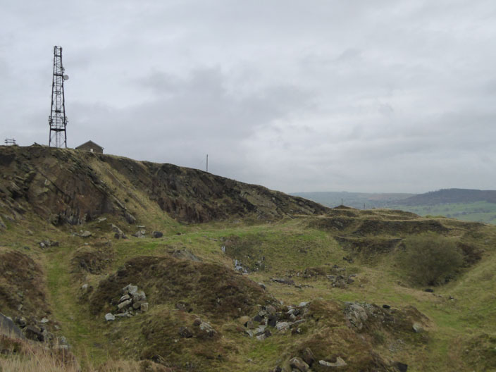
and nearby quarry
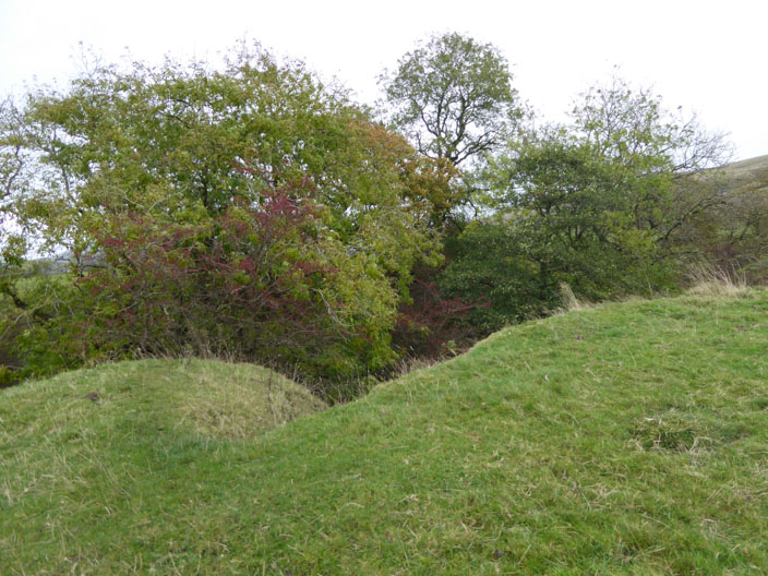
I had to search for the path . . .
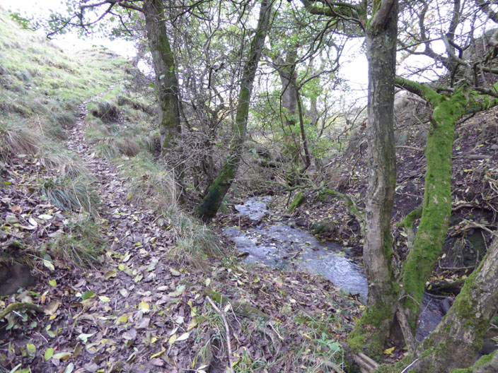
to cross Audley Clough
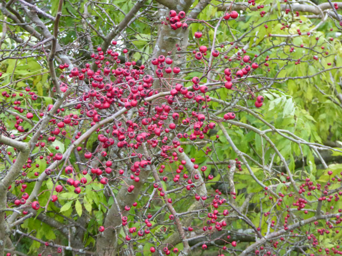
Some bird food still to be found
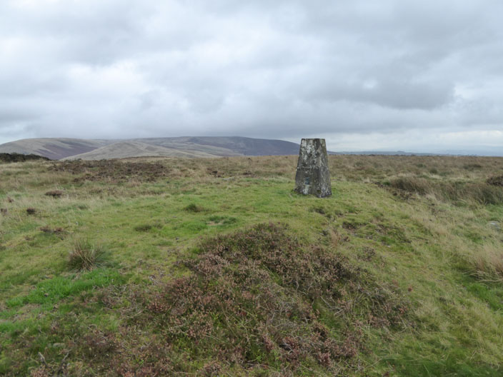
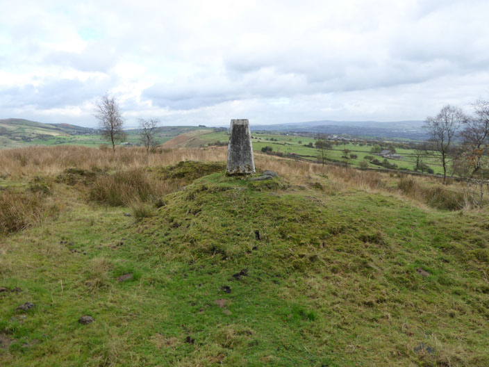
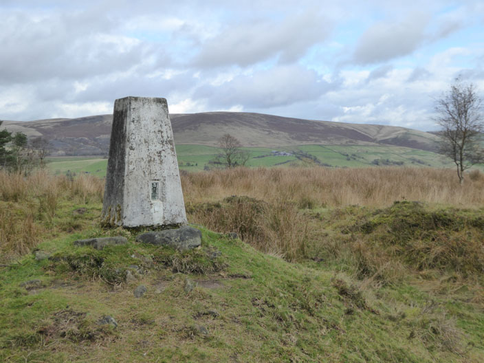
There are no paths marked to the trig point on The Rough . . .
but they are clear on the ground

Zooming in on the ski centre
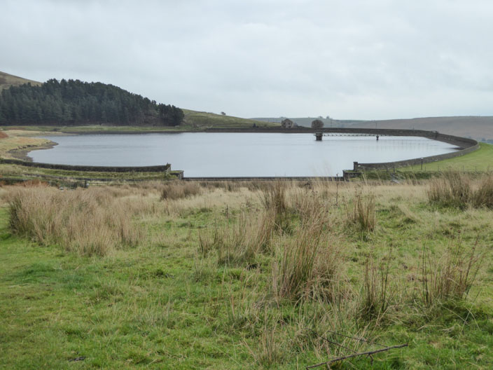
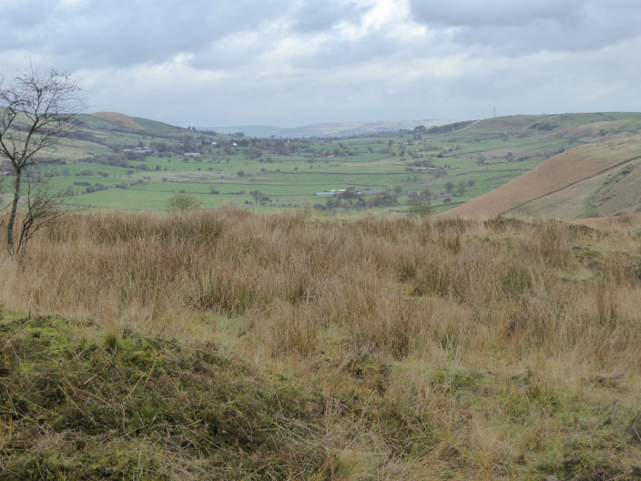
Churn Clough Reservoir . . .
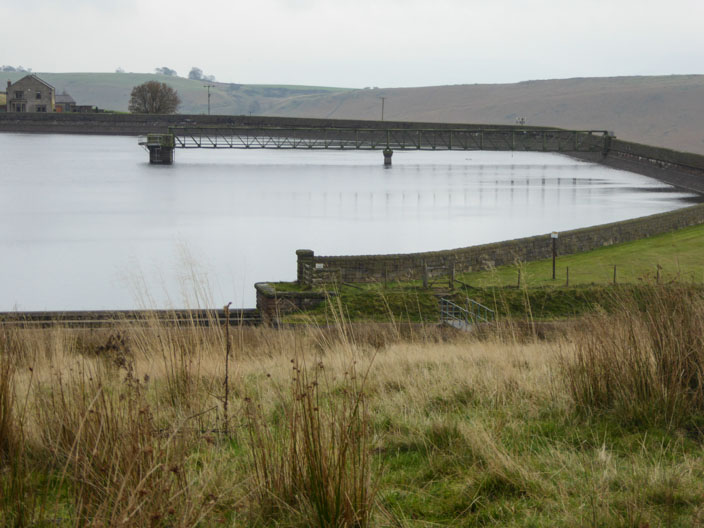
from my lunch spot . . .
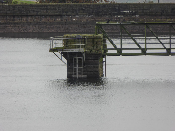
where I check out the zoom
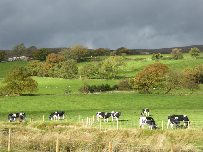
A sunny spell - but the clouds are still threatening
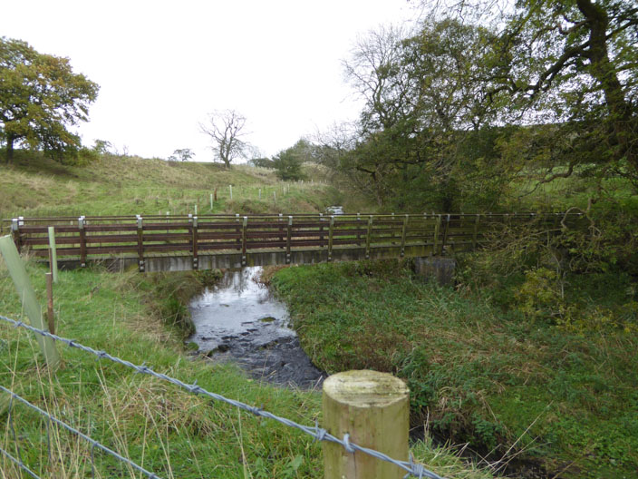
Crossing Sabden Brook on my way to Padiham Heights . . .
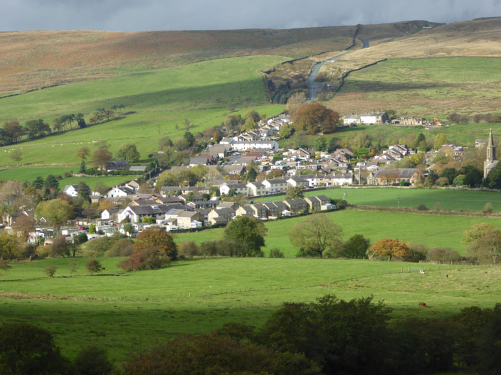
and the sun highlights the houses in Sabden
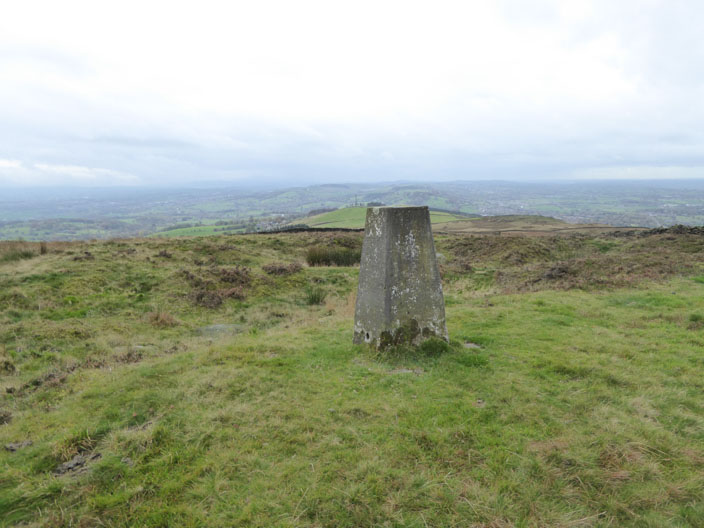
Black Hill . . .
and again with Pendle Hill in the distance
Sabden Valley from Black Hill
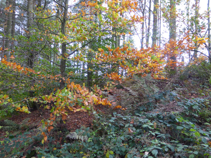
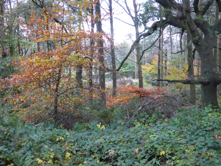
Black Hill Woods . . .
where there are lots of signs . . .
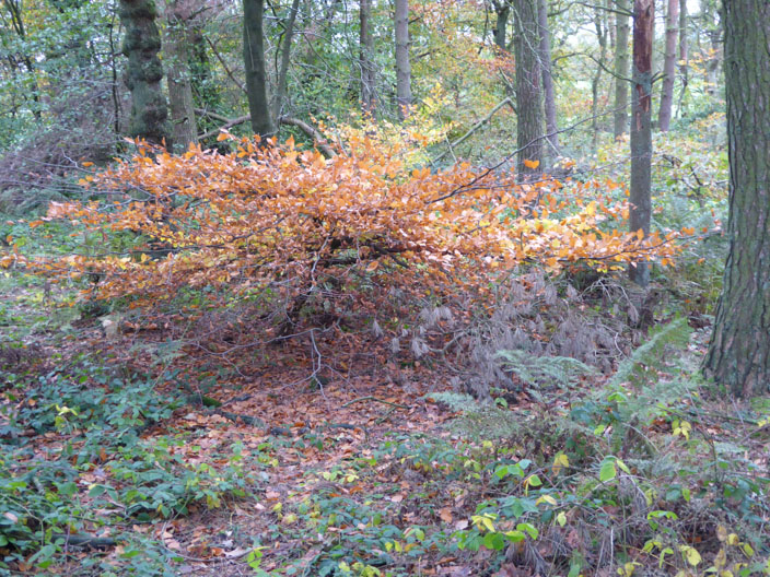
of winter approaching . . .
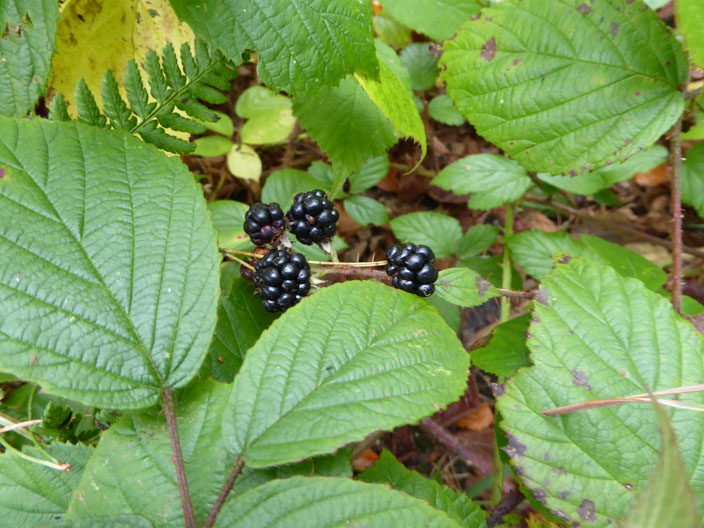
but there are still some blackberries to be found
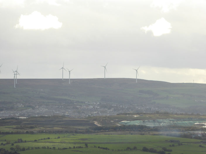
Zooming in on the wind turbines . . .
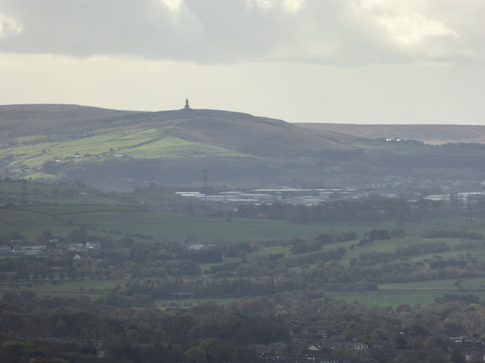
and Darwen Tower - which is 11 miles away!
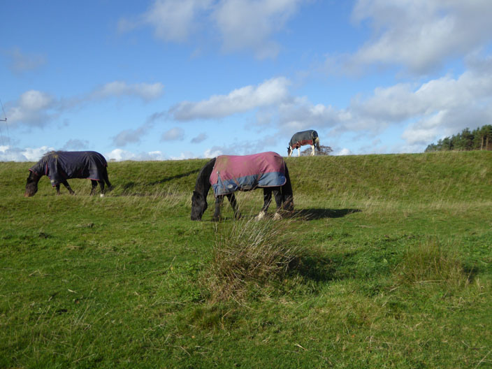
Enjoying the grass on Read Heights
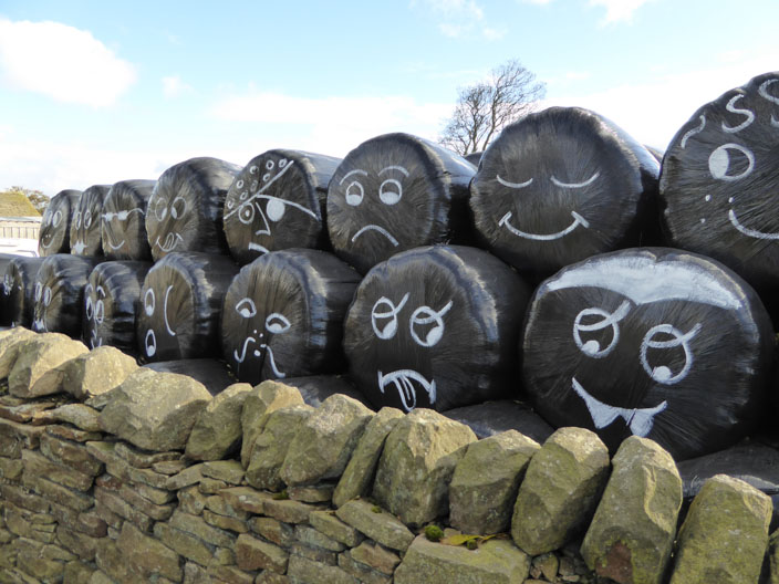
Walking through Read . . .
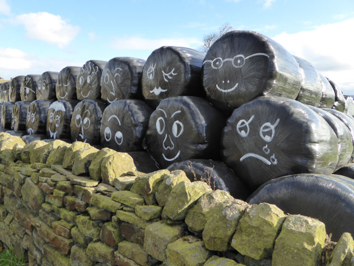
the artist has been out again
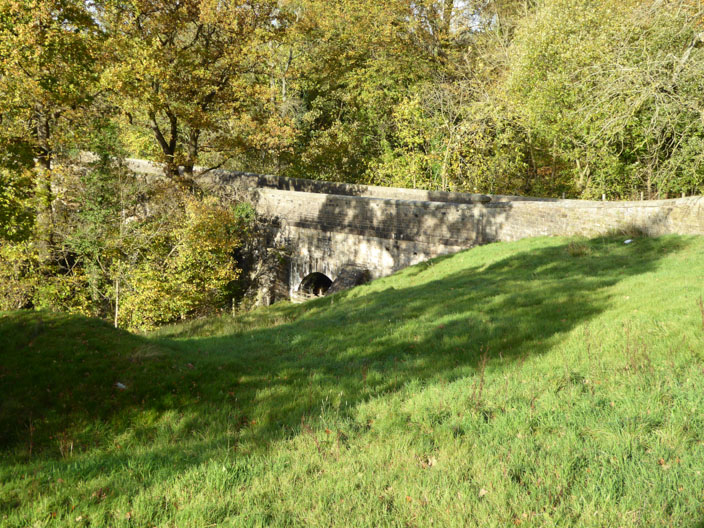
Read Old Bridge . . .
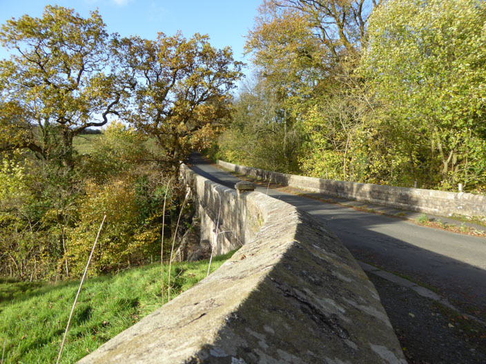
where, in 1643, the Parliamentarians (500 men) ambushed the Royalists (5,000 men) and chased them back to Ribchester