Monday, 26th January 2015
| Walk: | Apronfull Hill, Ogden Clough, Scout Cairn, Downham, Hookcliffe Plantation, Pendle Hill, Ogden Clough, Badger Wells Hill | ||
| Start Point: | Clitheroe Road, Sabden | Grid Reference: | SD 775 380 |
| Distance: | 12 miles | Ascent: | 3,00 feet |
| Time: | 6 hours | ||
| Weather: | Cold and windy with very strong winds and some hail on the summit | ||
| Comments: | With a reasonable forecast I decided to head for Pendle Hill and planned a route to take in Downham before climbing back up to the summit. The field paths were very muddy and slowed the pace so I was pleased to leave them behind and head back up Pendle Hill. However, by the time I reached the summit the weather had really closed in with very strong winds and some stinging hail. I decided on a quick retreat and made my way along the flagged path to Ogden Clough. Typically by the time I got there the weather had improved and I was able to get the camera out again. | ||
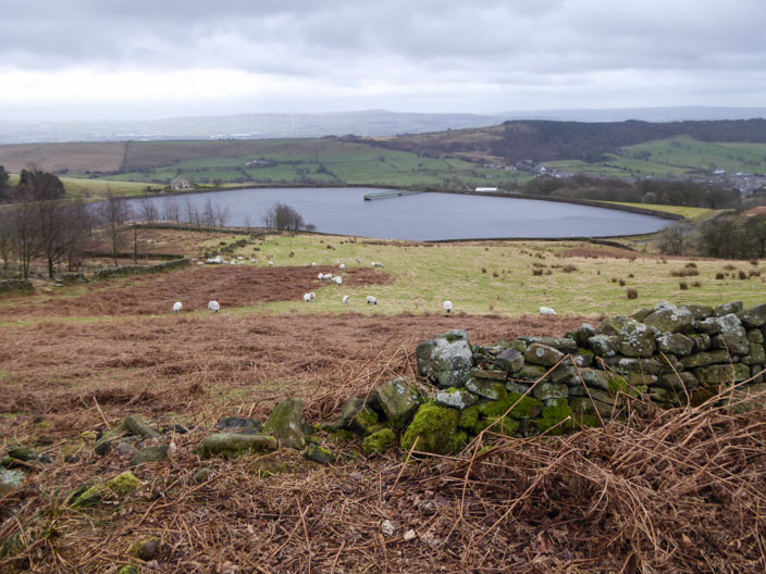
Heading across from the lay-by . . .
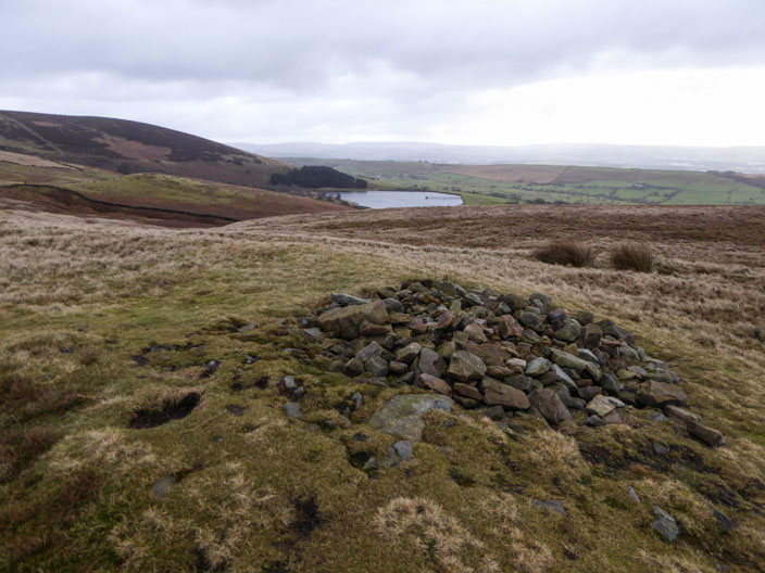
with Churn Clough Reservoir in view
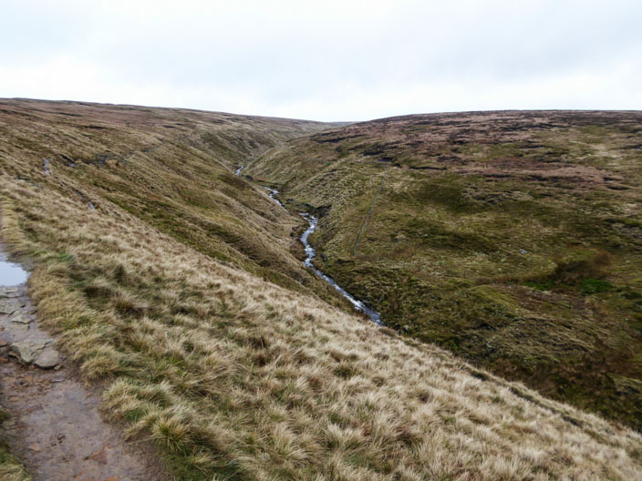
Ogden Clough
Looking very bleak . . .
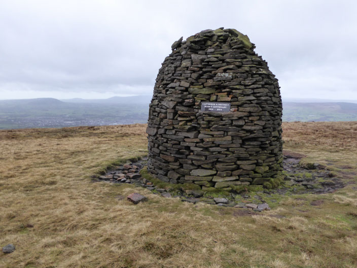
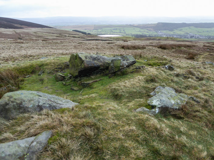
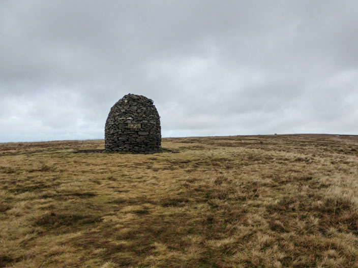
as I approach the Scout Cairn . . .
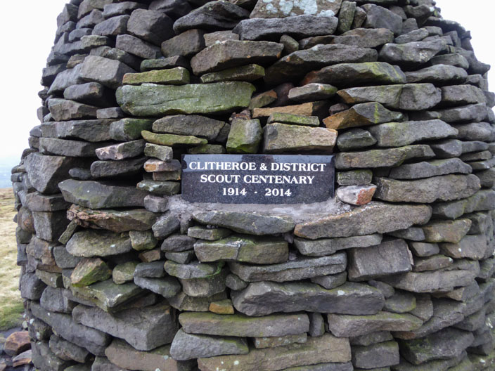
with a plaque to commemorate the Scout Centenary
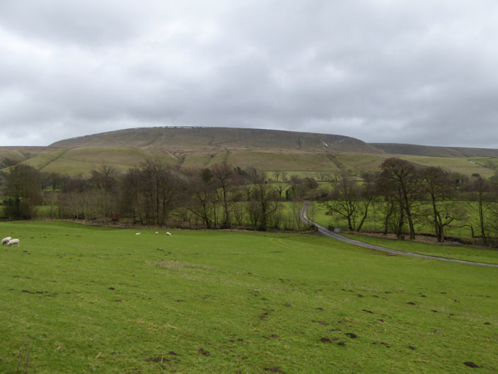
Looking back to Pendle Hill from the path to Downham
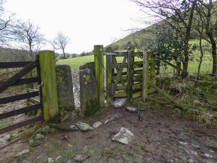
A squeeze or a kiss??!
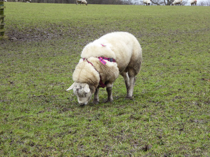
I wonder how many ewes he has served?
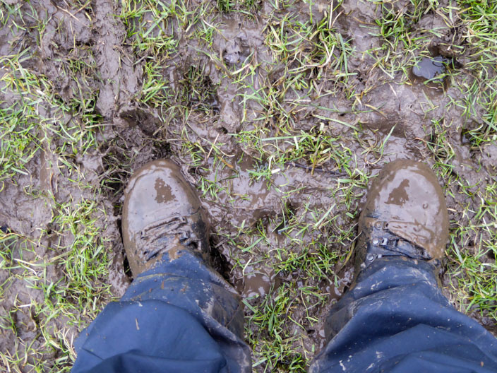
An idea of what it was like across the fields - hard work!!!
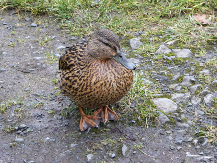
Coming to say hello . . .
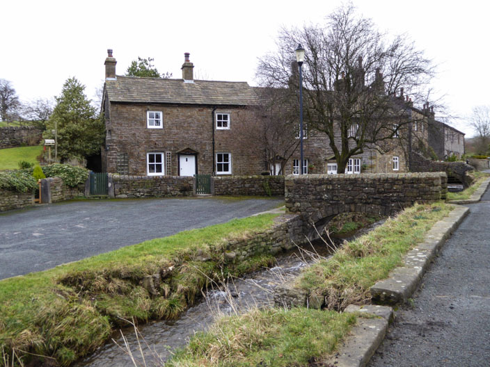
as I take a short break . . . .
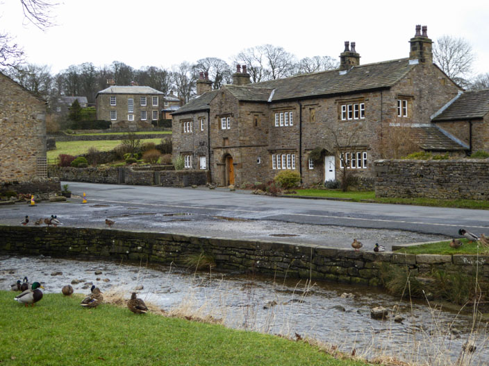
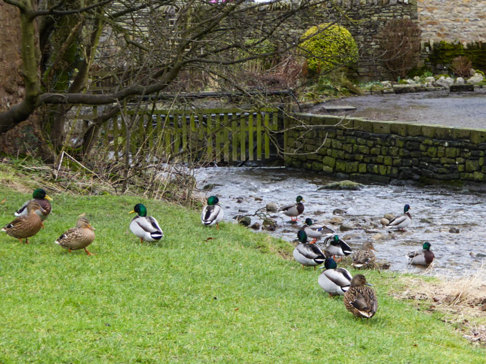
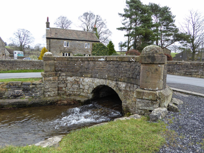
beside Downham Beck . . .
but soon it is time . . .
to continue on my way - but no more photos for some time!!
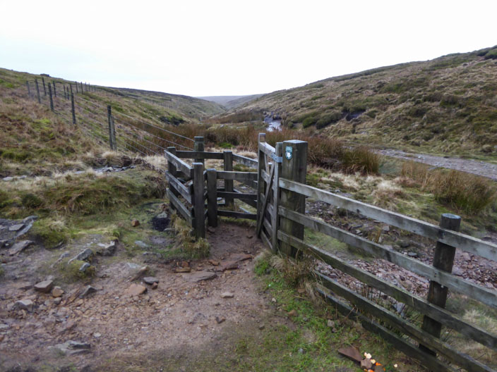
The main path has led me from the summit to Ogden Clough . . .
and a big improvement in the weather as I pass Cant Clough Reservoir