|
Crickhowell
Skyline
09/09/2012
| Walk: |
Table Mountain, Pen
Cerrig-calch, Pen Allt-mawr, Pen Twyn Glas, disused
quarries |
| Start Point: |
Roadside on small road north of Crickhowell |
Grid Ref: |
SD 234 228 |
| Distance: |
8.7 miles |
Ascent: |
2,070 feet |
| Weather: |
Sunny but hazy early on becoming
overcast later in the day |
Time: |
5.25 hours |
| Comments: |
The route started by heading
south along the flanks of the ridge to reach Table Mountain which is topped with the remains of an
Iron-Age Fort known as Hywel’s Fort. After taking a
morning break here we turned north to climb the southern
edge of the escarpment and continued on to Pen
Cerrig-calch, the highest limestone peak in the National
Park. The walking along the wide ridge we reached another peak, Pen Allt-mawr before descending the
steep northern spur. The route then gradually descended a broad
ridge to some quarried ground and the edge of the
forest. A rutted led us to a very muddy
sunken path which we followed back to the car. With hazy conditions
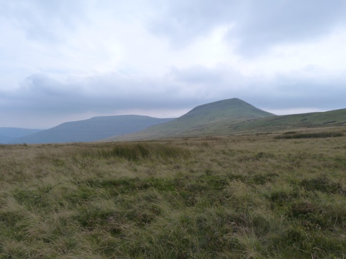
lasting throughout the walk it wasn’t possible to take
distant views with any degree of success but the walk
was a very enjoyable one. |
Scroll down to see photos of the walk
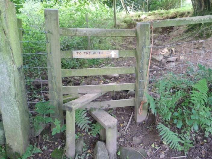
I guess we go this way!
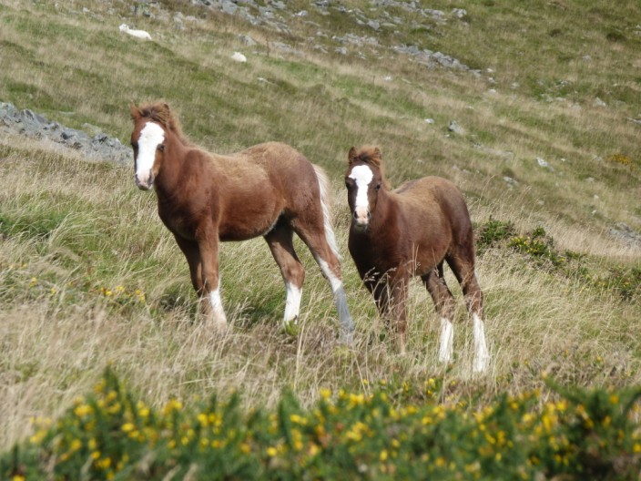
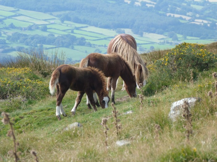
Two wild ponies check us out
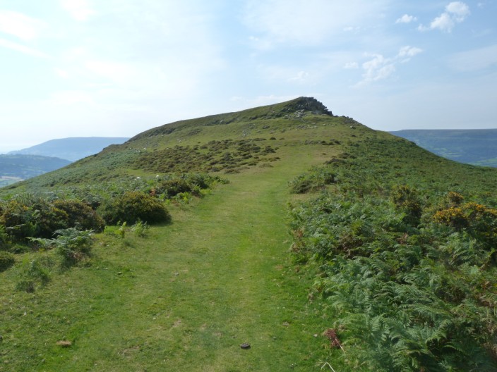
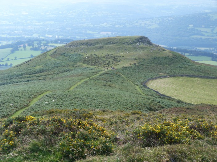
A good path leads to Table Mountain . . .
from where we can see the main escarpment
Looking back down to Table Mountain . . .
as we make our way past . . .
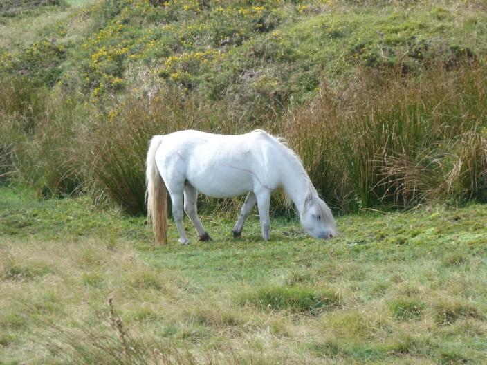
another group of . . .
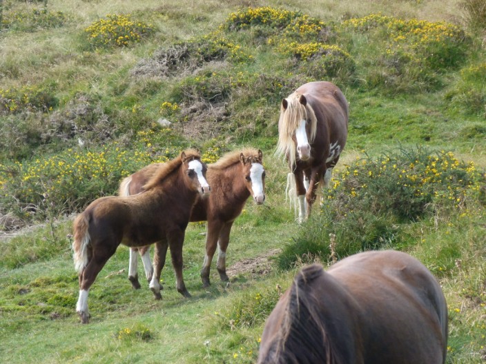
wild ponies
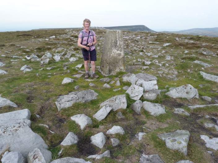
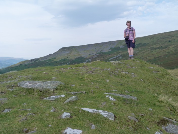
Our first summit, Pen Cerrig-calch . . .
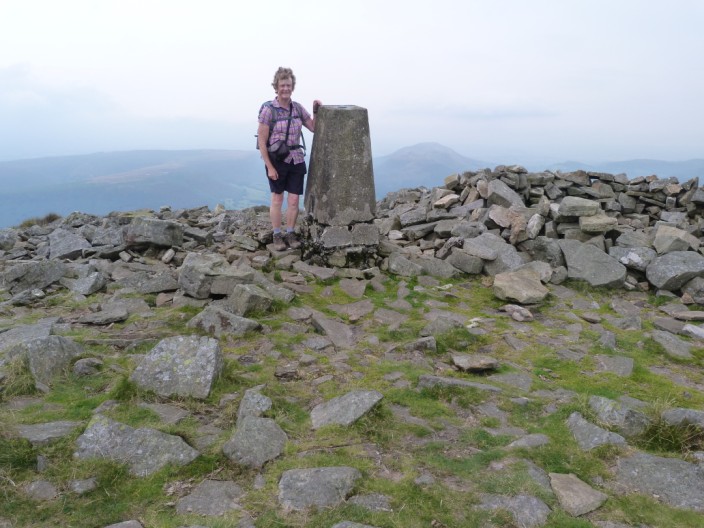
and the second summit, Pen Alt-mawr
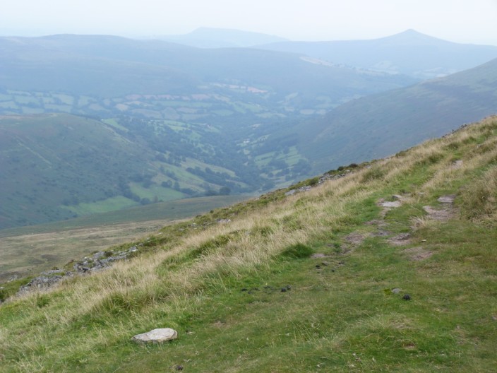
Looking back down the valley with Sugar Loaf in the distance
Looking back to the last summit and its steep descent
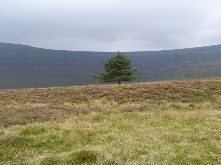
A lone tree on the second part of the walk
Return to top
Return to
Introductory Page
|