|
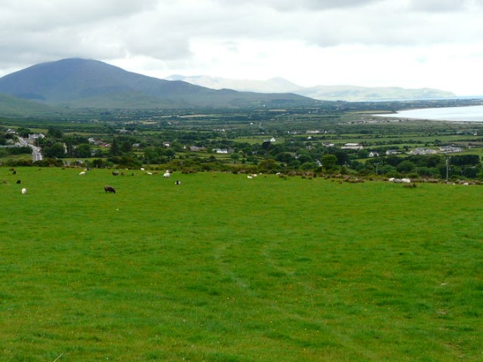
The Dingle Peninsula is situated in the south-west of Ireland, the top of the
three extrusions on this corner of the Emerald Isle. The Dingle Way starts and
finishes in Tralee, taking in the foothills of the Slieve Mish, the shoulder of
Mount Brandon and the crashing waves of the Atlantic Ocean at Slea Head. The
trail passes through many picturesque villages and towns and the landscape
varies from pastoral farmland to lonely beaches - and much more besides!
Scroll down to see the whole walk or jump down to your chosen page by clicking
on the links below:
[Day 1: Camp to Anascaul]
[Day 2: Annscaul to Dingle]
[Day 3: Dingle to Dunquin]
[Day 4: Dunquin to Ballydavid]
[Day 5: Ballydavid to Cloghane]
[Day 6: Cloghane to Castlegregory]
[Day 7: Castlegregory to Camp]
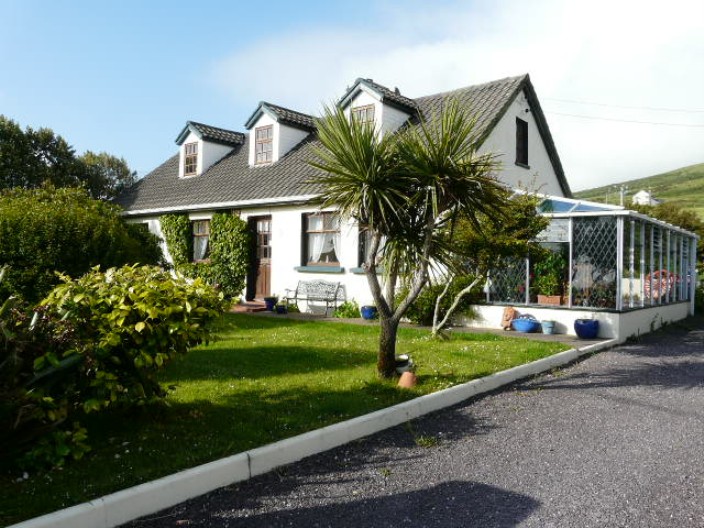
Camp to Anascaul
13 miles, 1,140 feet
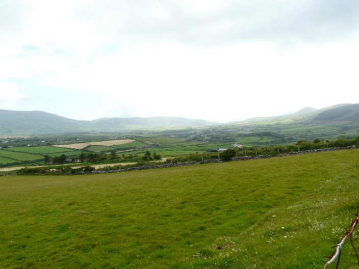
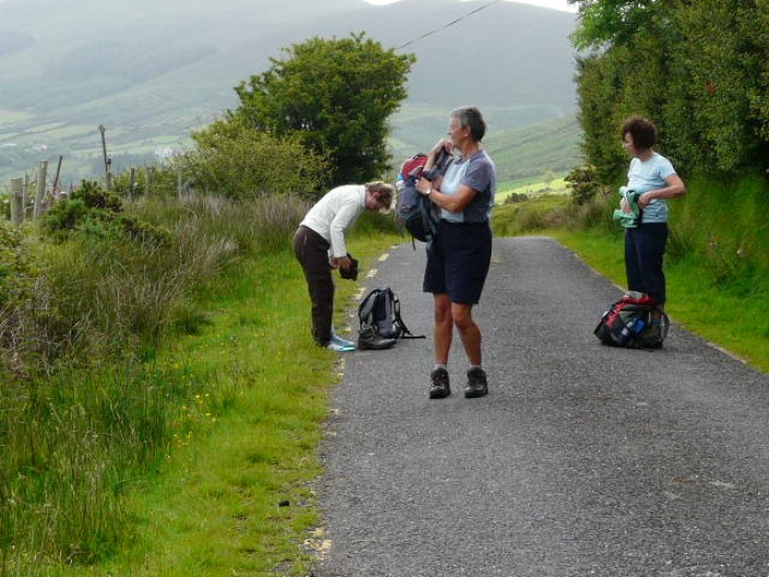
Starting in Camp we missed out the first section from Tralee, which is also
repeated on the last day when following the official route. The route, crossing
the saddle of the Corrin Mountain range, was mainly on small, little used roads
known as boreens.
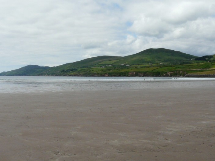
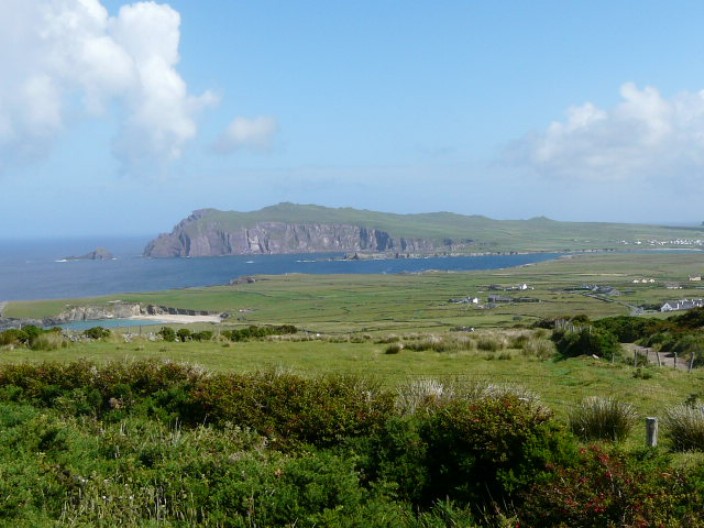
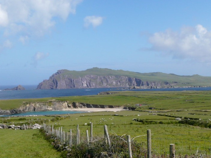
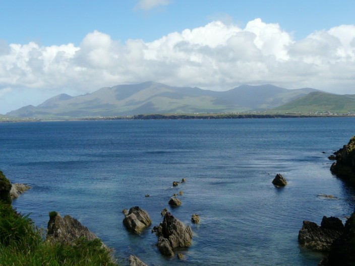
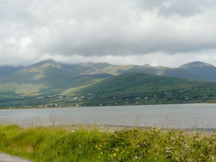
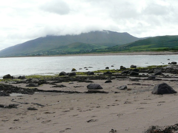
Inch Beach provided a welcome stop for lunch and a chance to check out this
famous setting where parts of Ryan's Daughter were filmed at the end of the
1960s. Suitably refreshed (though the walk so far had been easy), we continued
on to Anascaul where The South Pole Inn commemorates Sir Ernest Shackleton's
second officer, Tom Crean.
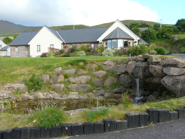
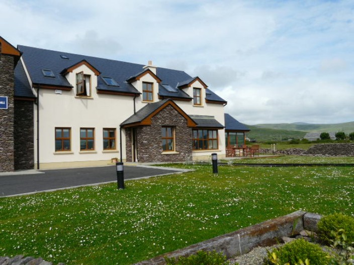
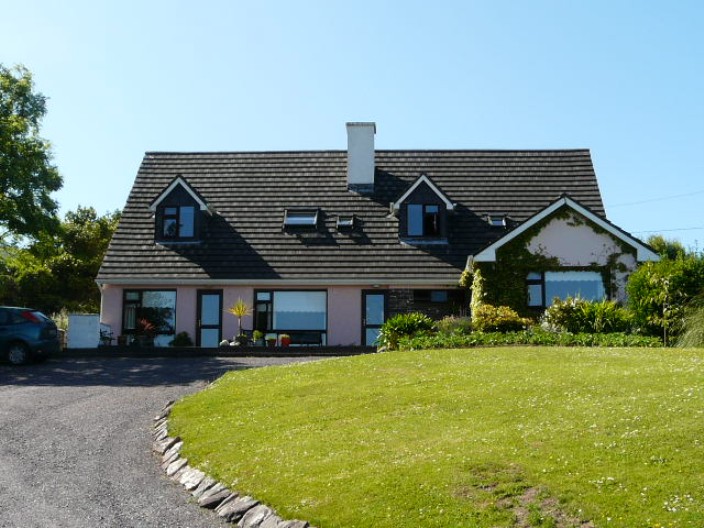
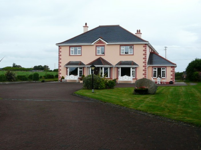
Camp Junction House, a first rate B & B where John gave us a
very warm welcome
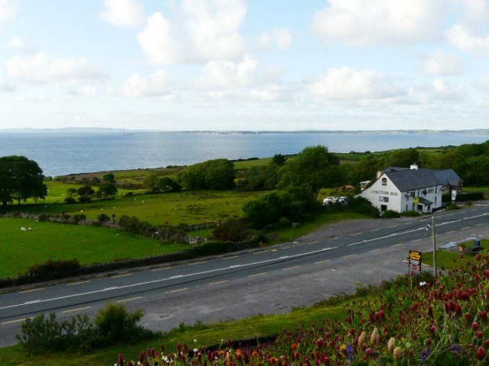
One of the great views from the B & B
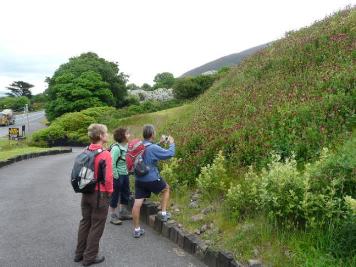
The banking on the driveway is covered with . . .

a mass of . . .
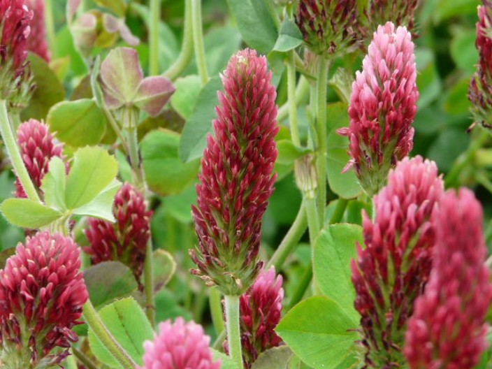
red clover
Brandon Mountain, the one in the distance, from the official path . . .
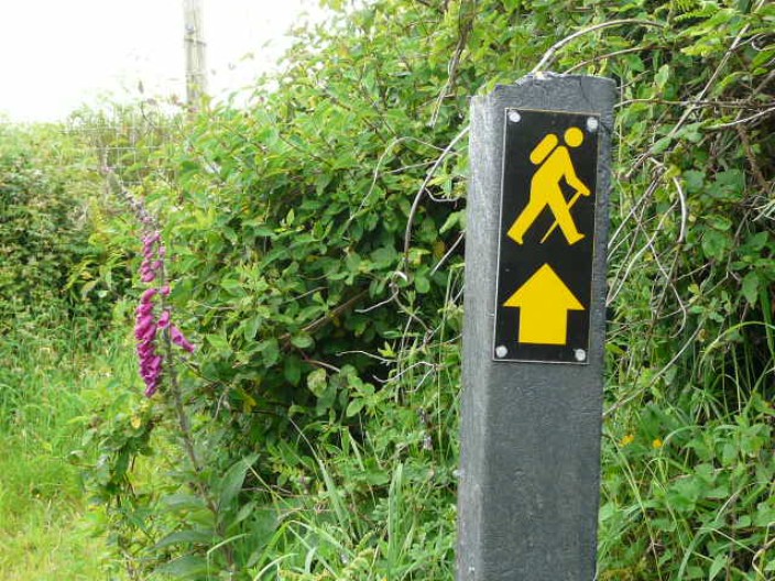
which is very well waymarked

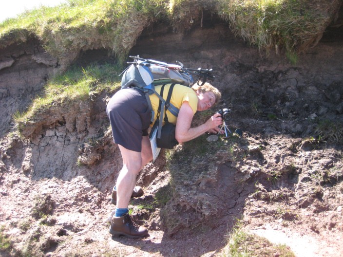
I wonder if this is as close as I will come to seeing a
Dolman?
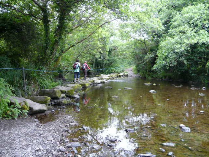
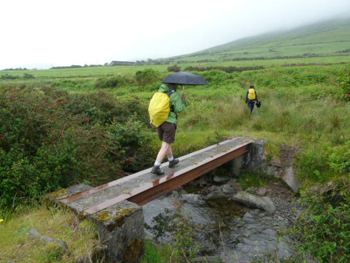
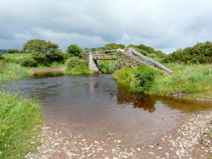
Crossing the Finglas River . . .
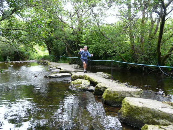
look, mum, no hands!
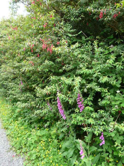
The hedgerows are a profusion of fuchsias
Inch Beach . . .
where we stop for lunch . . .
and take in the view of the Inveragh Peninsula
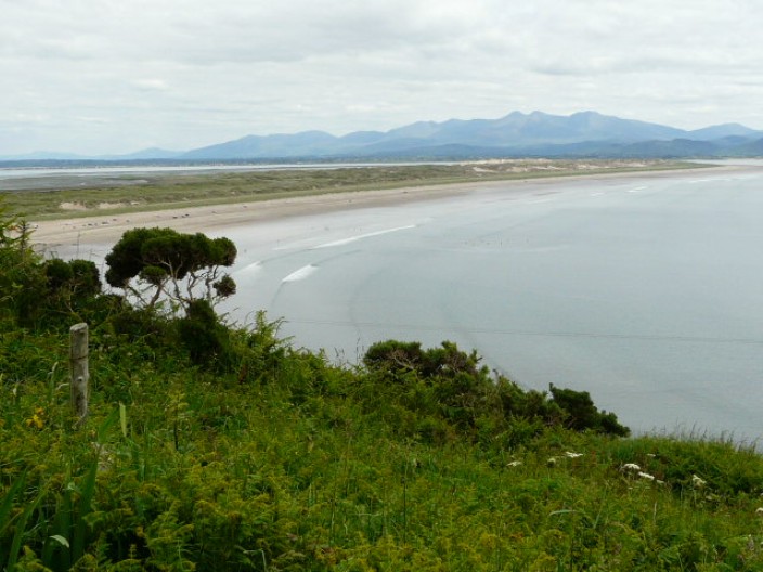
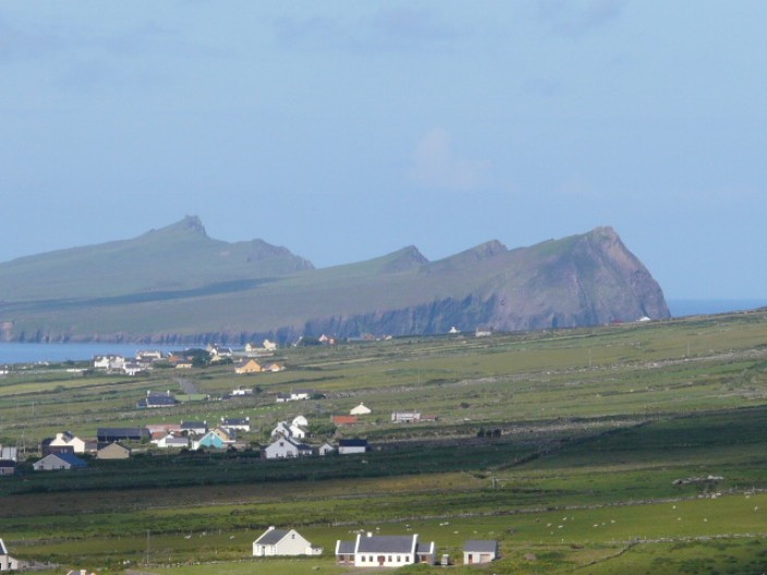
Inch Beach and Macgillycuddy's Reeks
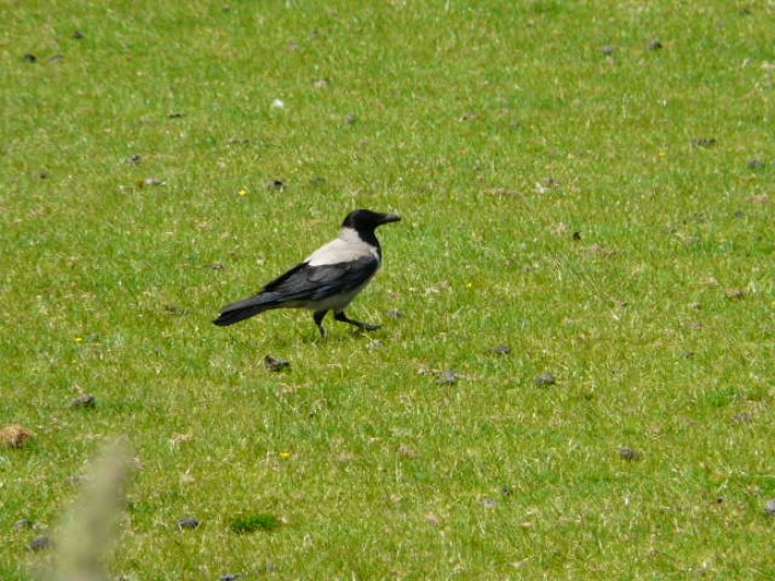
There seem to be a profusion of hooded crows
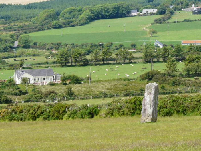
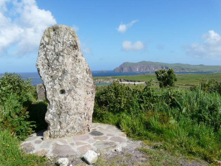
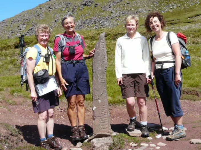
As we approach Anascaul we spot a Standing Stone
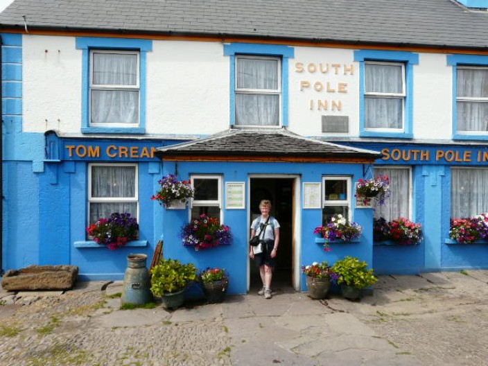
The South Pole Inn, once owned by Tom Crean, the Antarctic
explorer . . .
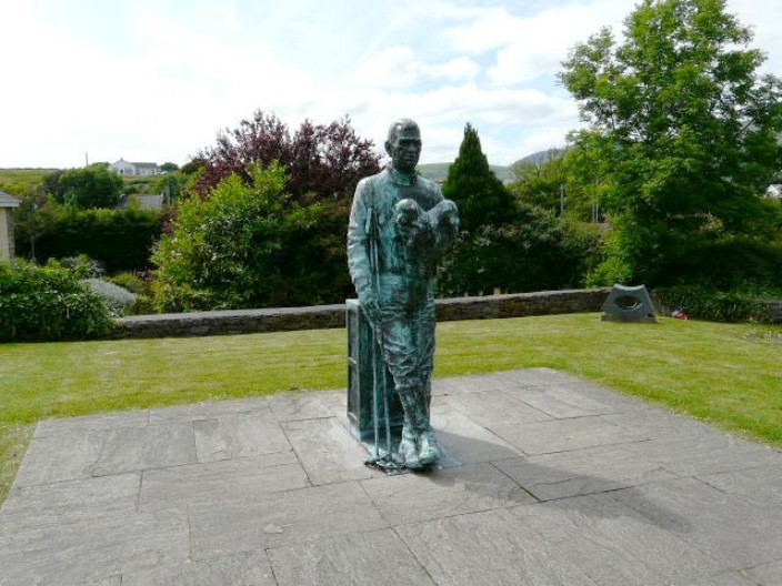
is overlooked by his statue . . .
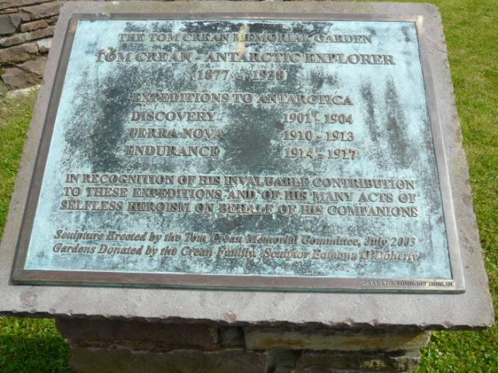
and a plaque to his memory
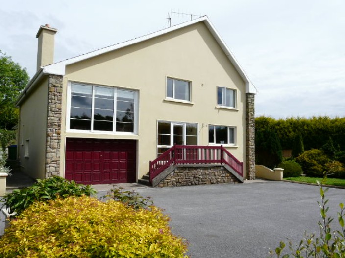
Just next door to the monument is our B & B,
Ardrinane House (not the best of the holiday)
Top
Anascaul to Dingle
14.5 miles, 1,400 feet
Again, the route was mainly on minor roads and tracks, making for easy walking.
The morning was warm and sunny but the afternoon saw some brief showers - at
least they made carrying the waterproofs worthwhile! Looking forward to visiting
the main town of the peninsula we were rather disappointed by Dingle's lack of
character and a shortage of good shops to browse through. After inspecting all
the 'eating establishments' we decided on the colourful Dingle Pub for our
evening meal.
A pause to look back along the valley . . .
and time to shed a layer
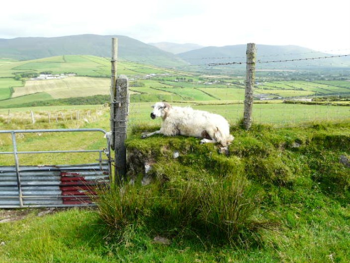
A rather scraggy looking sheep enjoys an elevated seat
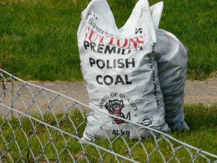
Does the coal really come from Poland?
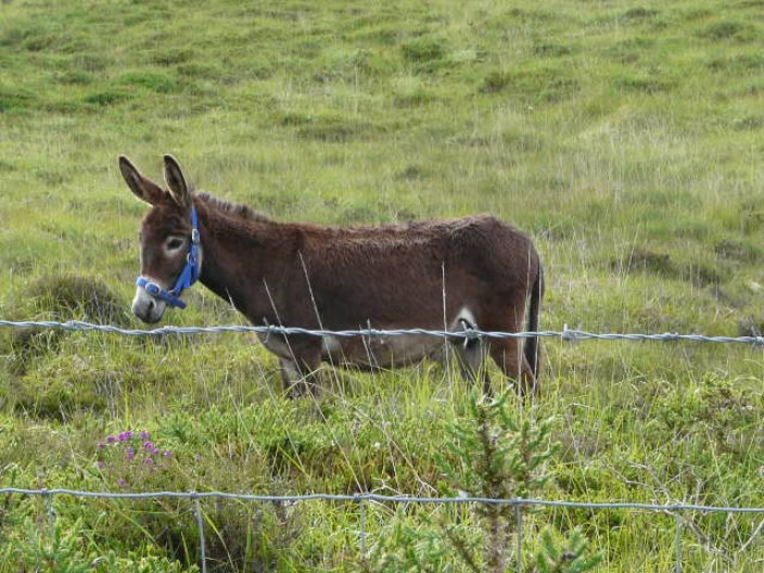
A local resident
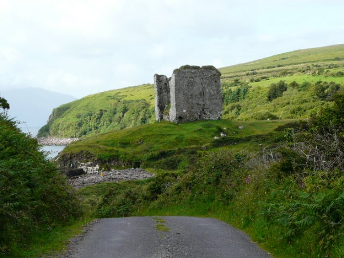
Approaching Minard Castle, where Walter Hussey, a Norman, had a garrison in 1641
. . .
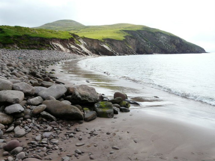
The nearby beach is a natural storm beach, the boulders being thrown up by the
sea during storms . . .
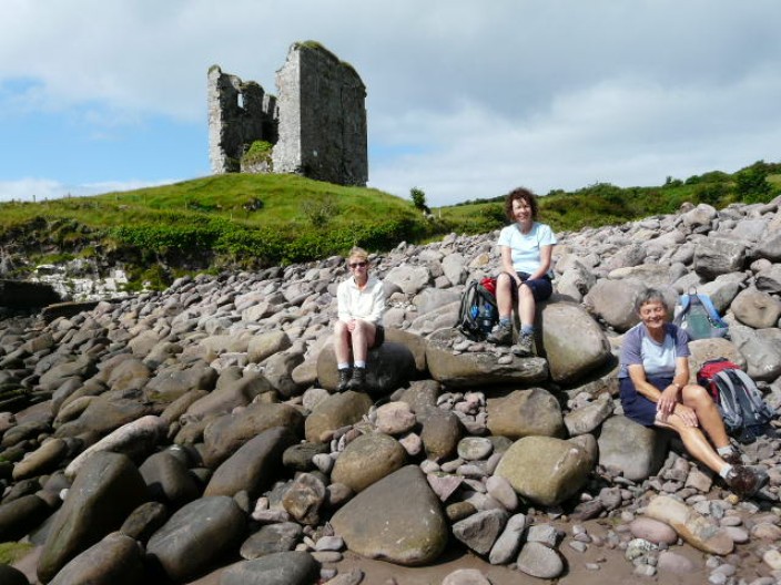
provide perfect seats for a short break
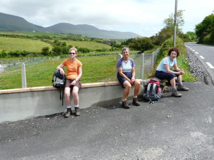
At Lispole our choice of seat is not quite so picturesque!

Now which way shall we go?
A brief shower brings out the waterproofs . . .
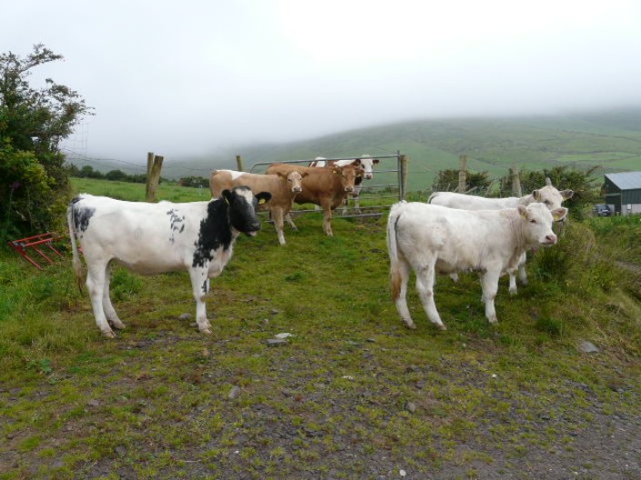
and the local herd shows great interest in our travels
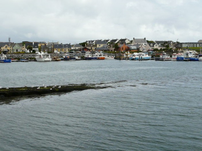
Dingle Harbour . . .
with a profusion of sailing boats . . .
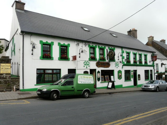
and a colourful pub - where we returned for our evening meal
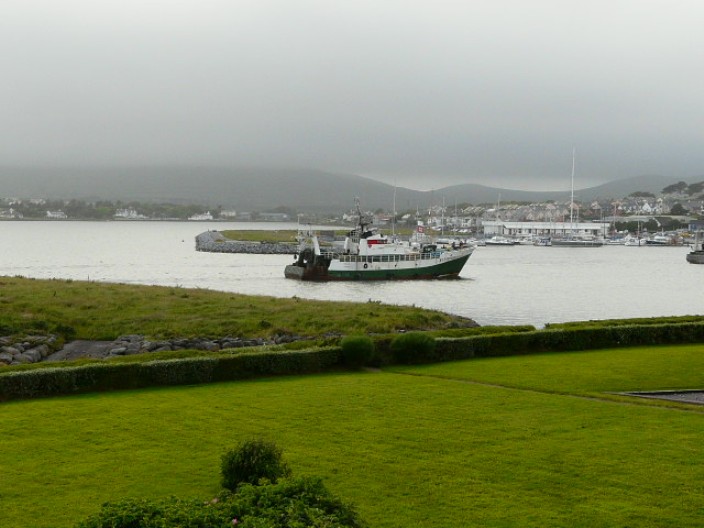
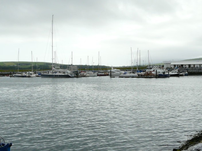
From our B & B we were able to watch the passage of fishing vessels . . .
as they made their way through the relatively narrow entrance to the harbour
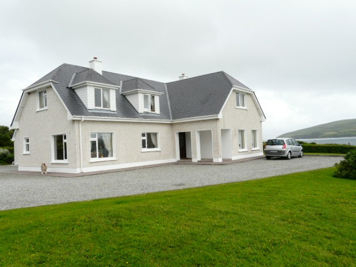
Emlagh House B & B, one of the best
Top
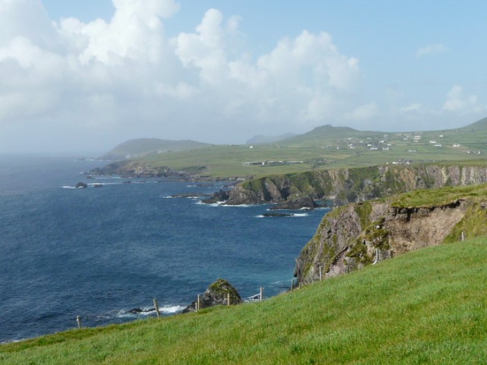
Dingle to Dunquin
14.5 miles, 2,000 feet
Emlagh House B & B was a perfect overnight spot. Apart from the great views of
the harbour, the immaculate rooms were tastefully decorated and the breakfast
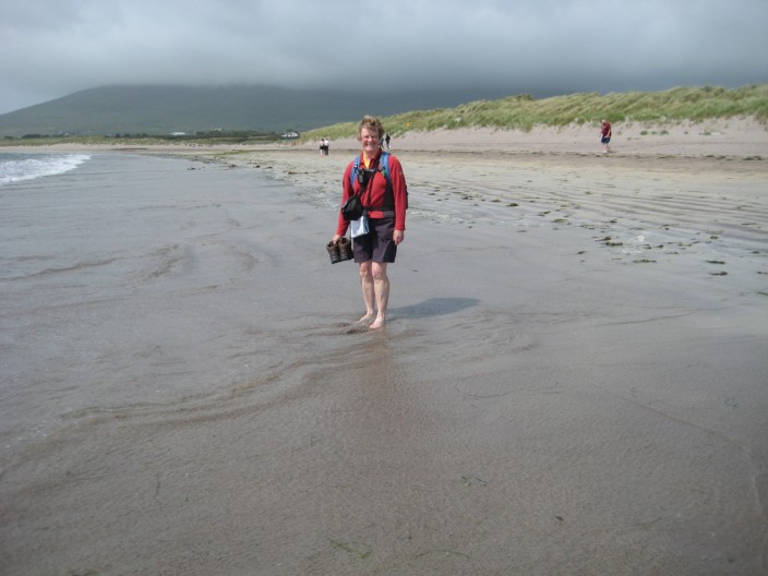
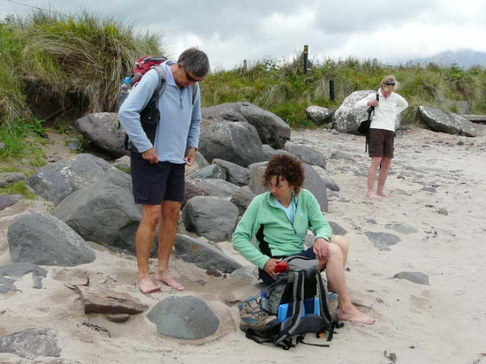
was a delight. After heading back through Dingle we continued on to Ventry beach
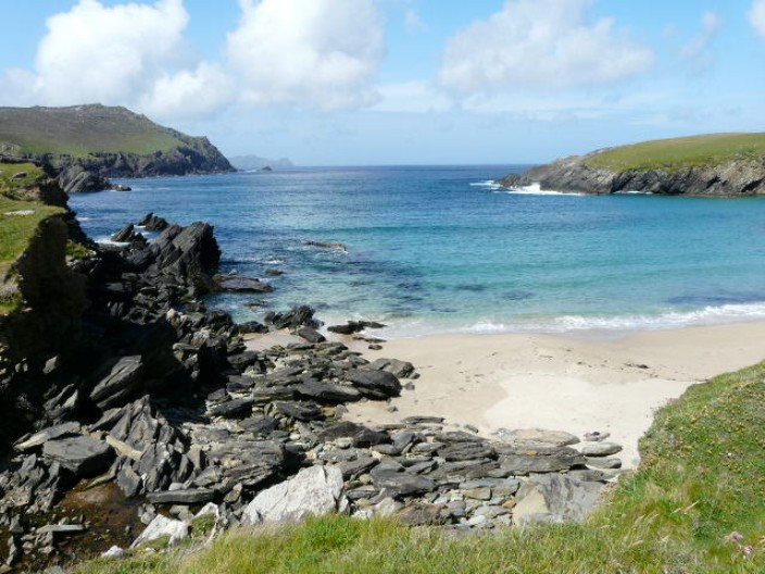
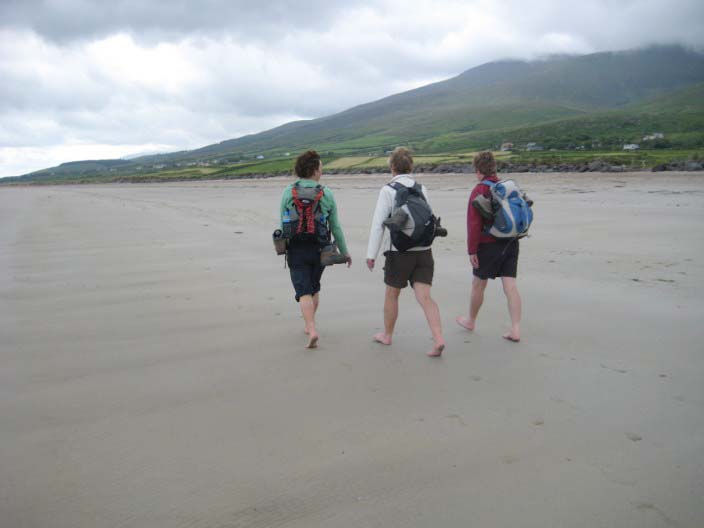
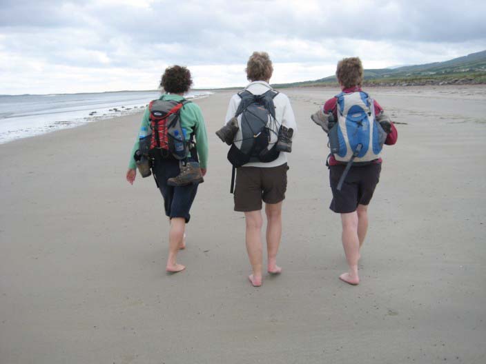
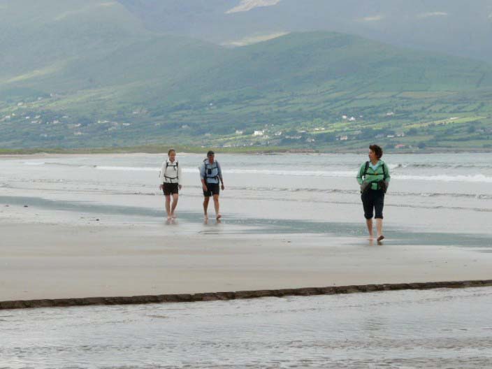
where we made the most of barefoot walking. We were then pleased to find
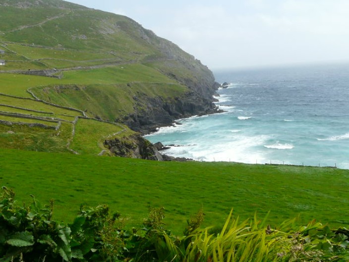
that most of the route to Slea Head was on footpaths through fields and along
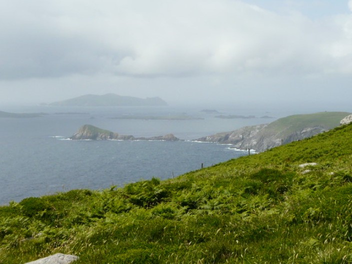
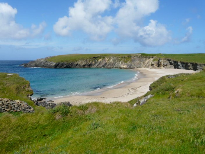
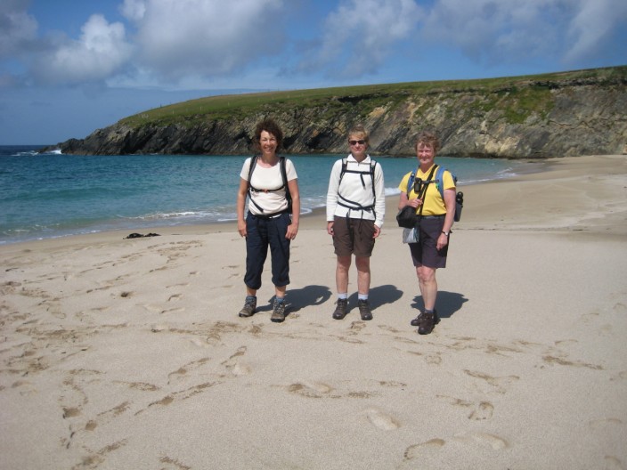
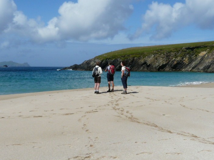
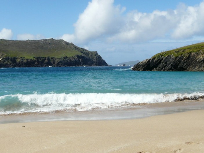
the lower slopes of Mount Eagle to Slea Head. Taking time out to explore Coumeenoole
Beach, one of the locations used in Ryan's Daughter, we could also see the Blasket Islands, though there was a light sea mist. Then it was back onto the
road for the last stretch into Dunquin.

Local residents out for a stroll!
Ventry Beach with Mount Eagle in the mist
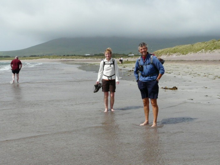
Time to take the boots off . . .
and test the temperature of the water!
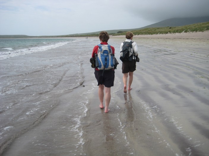
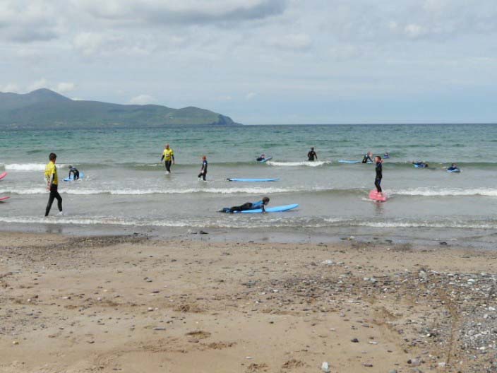
Walking along the beach . . .
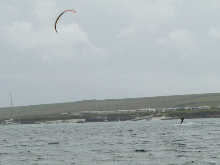
we spot a kite surfer . . .
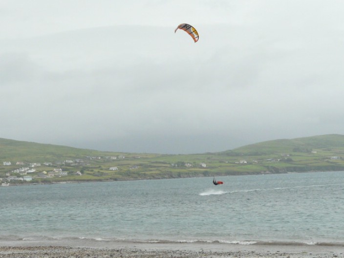
who is pulled out of the water . . .

but makes an excellent landing
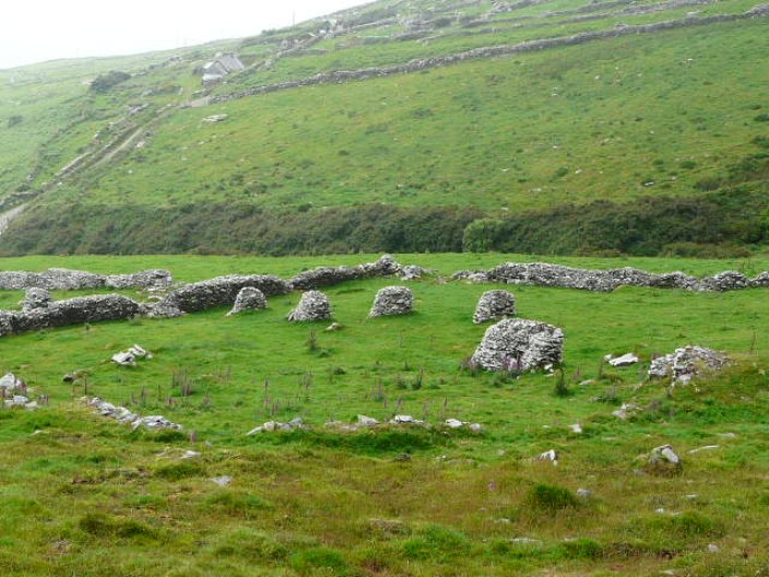
The remains of clochains, or beehive huts as they are more commonly known . . .
Not far from the Slea Head Drive road . . .
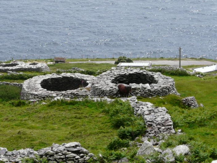
we have great views of larger clochains . . .
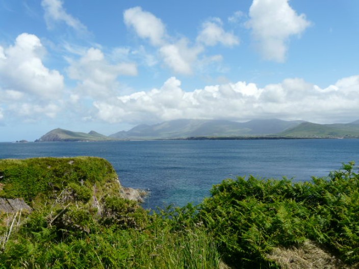
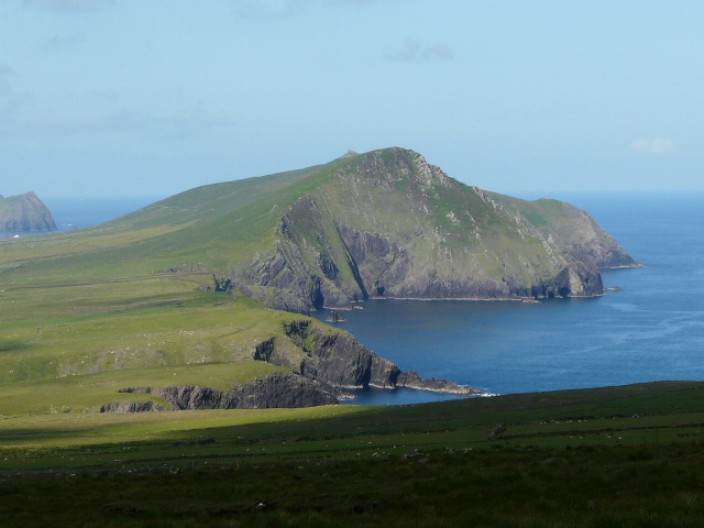
and can see the most westerly point of Europe . . .
and the Blasket Islands . . .
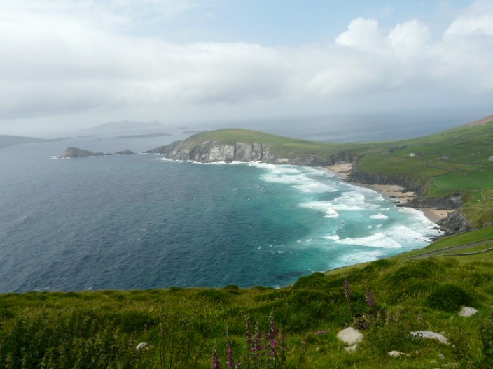
as we approach Coumeenoole Beach . . .
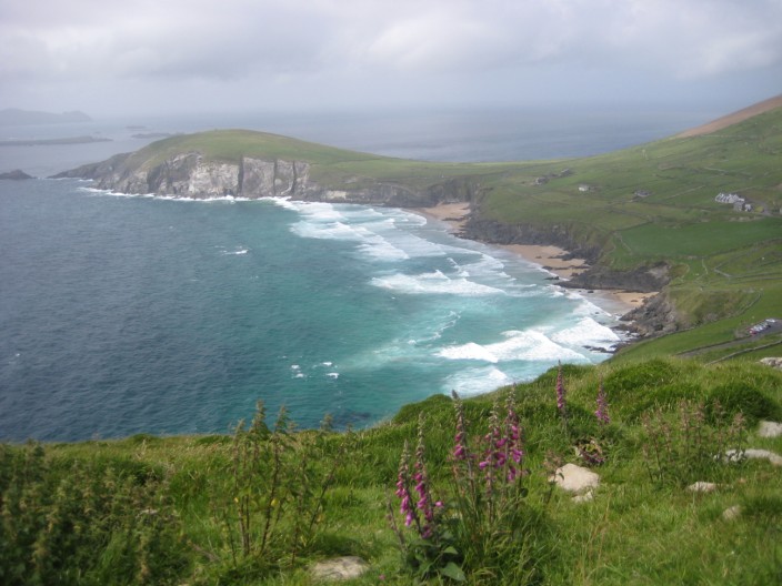
one of the locations for Ryan's Daughter
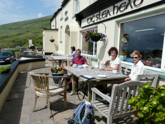
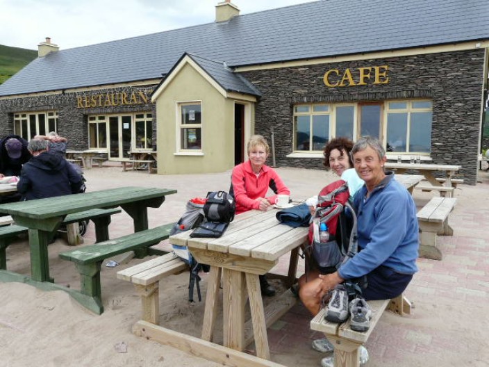
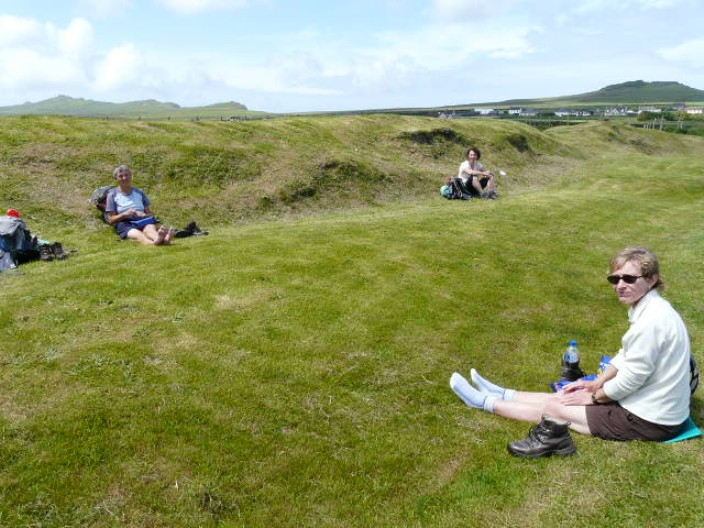
But first, time for a coffee break . . .
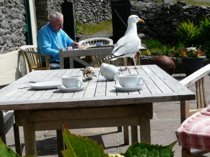
where we find a cheeky seagull . . .
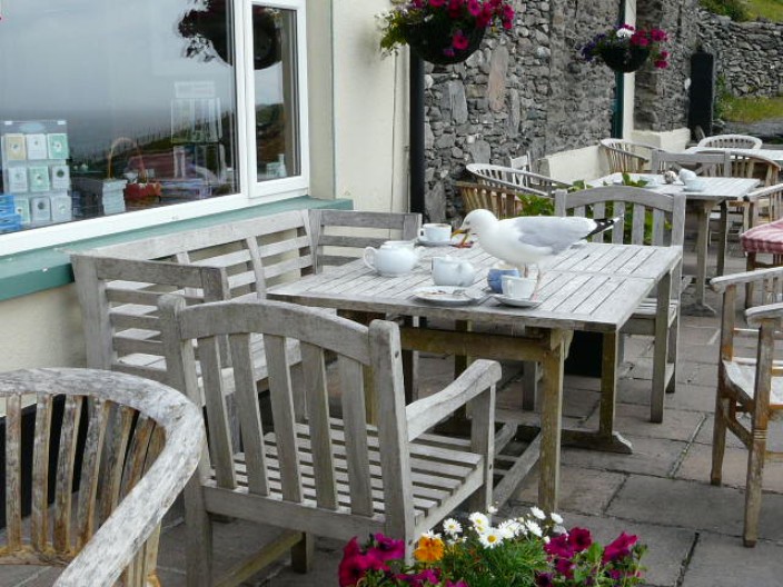
who takes advantage . . .
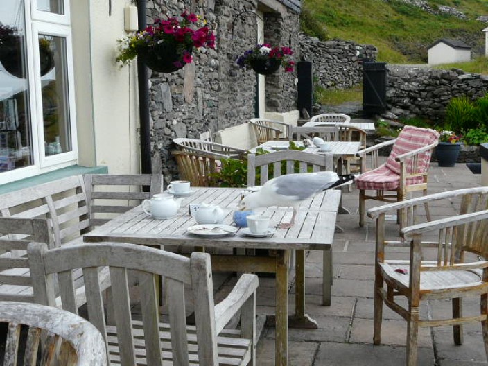
of any milk left in the jug!
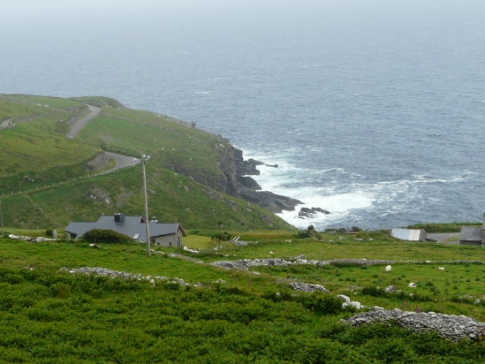
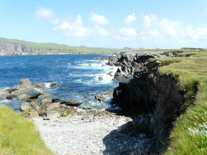
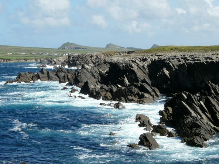
Looking back along the cliffs . . .
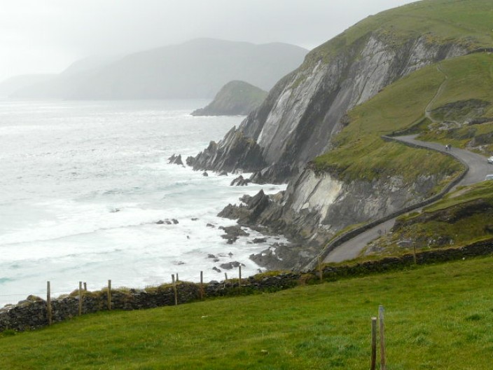
and over to Slea Head . . .
as we make our way down to the beach . . .
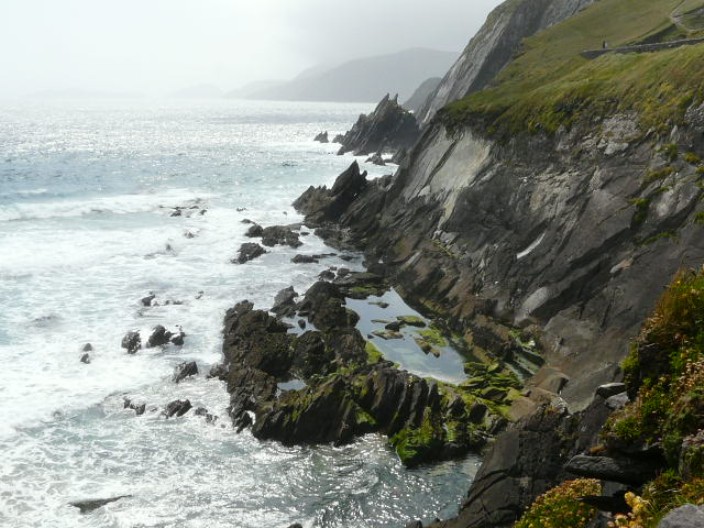
for a closer view . . .
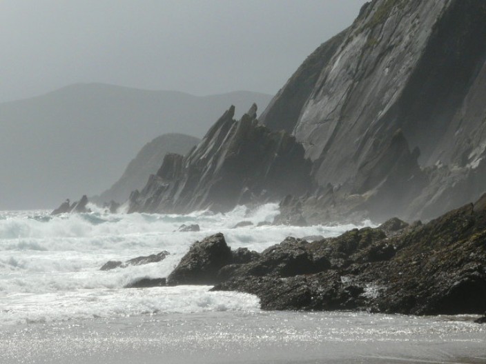
of these much photographed rocks . . .
before continuing on to Dunquin
Glean Dearg B & B, not at the top of the list
top
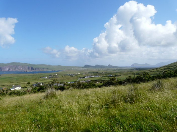
Dunquin to Ballydavid
13.5 miles, 500 feet
We had a comfortable stay at Gleann Dearg B & B where the
hostess provided an evening meal as there was nowhere else to eat in this widely
dispersed village. Our late start was due to the fact that breakfast was not
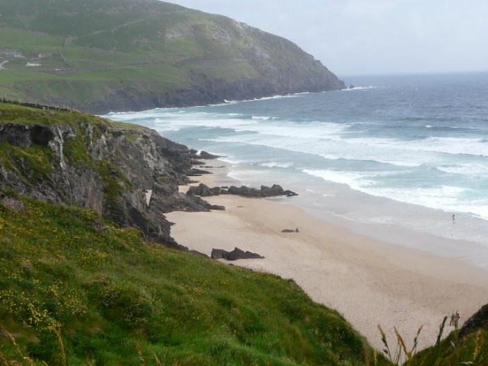
served until 9am. Before long we reached Clougher Beach and had our first
sighting of the Three Sisters. After a brief stop at the beach to enjoy the
scenery we continued along the original route, as marked on the map. Skirting
the cliffs, the waves of Atlantic Ocean made an impressive sight as they crashed
against the rocks below. Arriving back on the road it was then a gradual uphill
walk to Smerwick Harbour where we diverted from the route to visit Dún an Óir,
Fort of Gold, the site of an Iron Age fort. From here it was a simple walk along
the beach to Murreagh then a short stretch along the road to the next B & B.

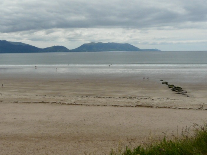
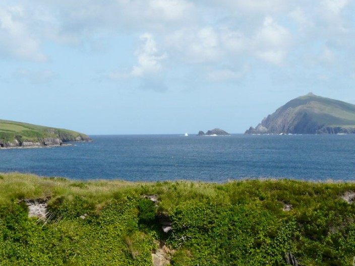
Blasket Islands
Sybil Point with Clogher Beach just in view on the left . . .
and the Three Sisters centre right
On our way to Clogher beach . . .
we pass an interesting standing stone . . .
to the left of which you can just see a second stone . .
.
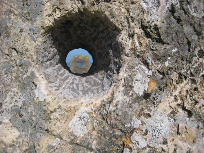
both with holes that line up to give you a view of the ocean
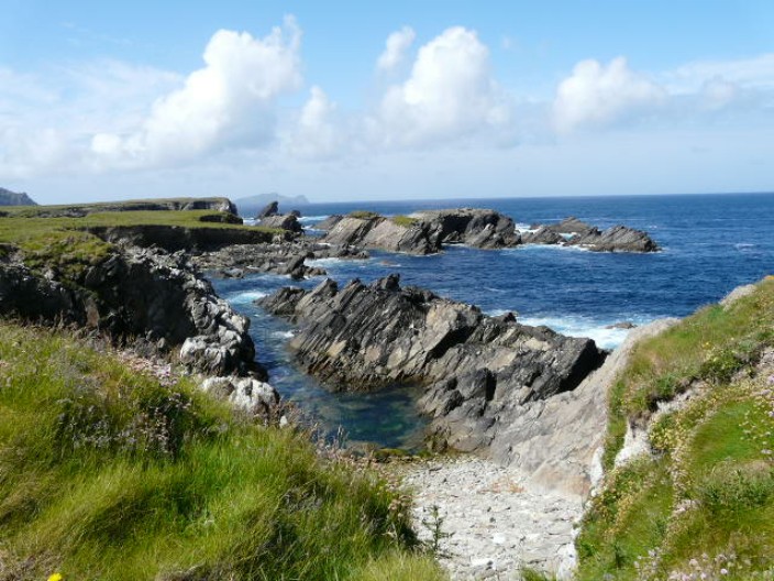
Clogher Beach . . .
with its very picturesque sandy shore
provides the perfect spot for a photo . . .
and just the place for another view . . .
of the Blasket Islands

Zooming in on the Three Sisters . . .

as we make our way . . .
along the cliffs . . .
which bravely face the Atlantic Ocean
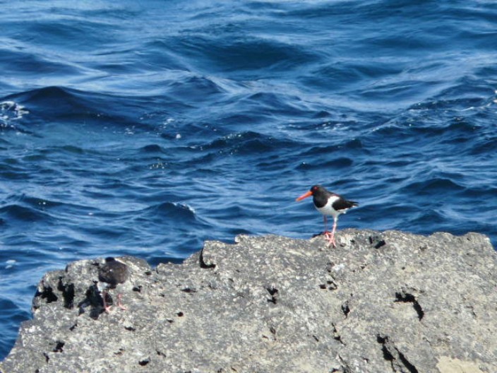
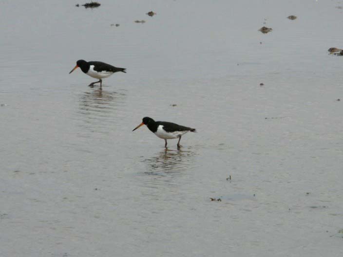
Look carefully - there is a second oyster catcher on the left
(look for the legs)
The Three Sisters rise in the distance . . .

but here it is the cliffs that provide . . .
the main point of interest
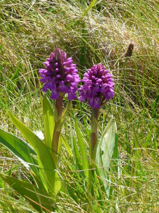
Early-purple orchid

The Fort of Gold memorial to the massacre of 600 people in
1580
A grassy mound is all that is left of the Iron Age fort . . .
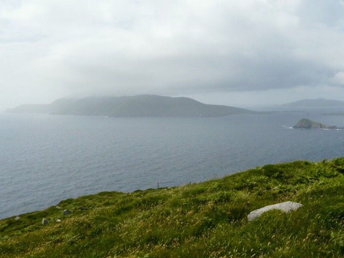
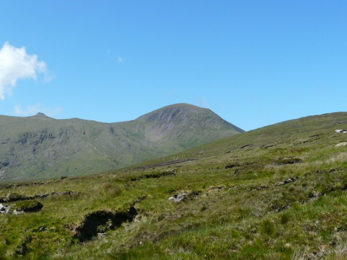
but it provides a good view of Mount Brandon, in the mist . .
.
and the entrance to Smerwick Harbour
The mist almost clears the top of Mount Brandon - we will
climb the shoulder on the left tomorrow!
Imeall na Mara - one of the best, with a convenient shop/PO
next door
Top
Ballydavid to Cloghane
11 miles, 2,064 feet
Our stay at Imeall na Mara B & B was one of the best of the
holiday. The comfortable rooms were surpassed only by the welcome and
helpfulness of our hostess. As there was nowhere nearby to eat she took us into
Ballyferriter and collected us after the meal. She also transported us to the
start of the climb over Mount Brandon shoulder, thus cutting out a few miles of
road walking. All the information about the walk had stressed the difficulty of
this section and given warnings not to attempt it in mist. In fact, it was well
waymarked and the climb was little more than a gradual uphill walk. Whilst the
path at the beginning of the descent was rather eroded, this was easy to bypass
and the rest of the route was a gradual downhill on a clear path. This was the
first day that Mount Brandon wasn't in mist but from our descent the actual
summit was difficult to pinpoint. Now with time to spare we spent extra time on Brandon
beach enjoying the sun before continuing to Cloghane.
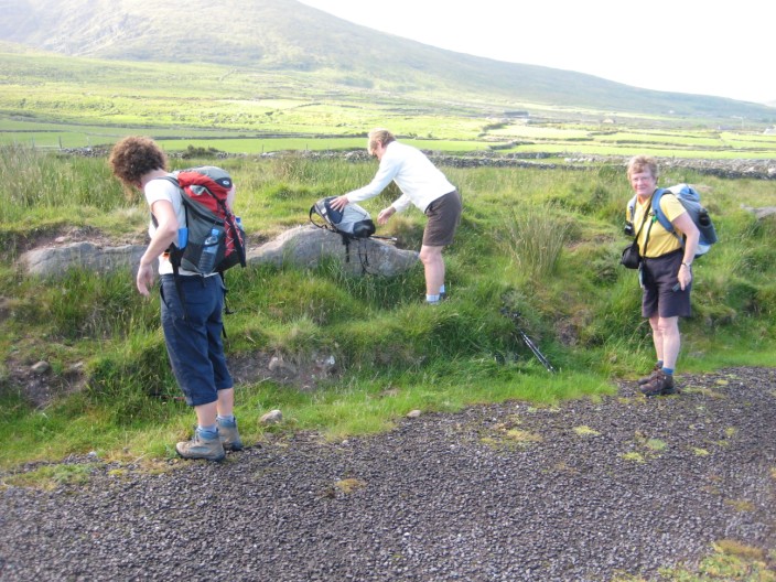
Getting ready to start the climb . . .
and take a few photos
The Three Sisters, with Sybil Head to the left, look quite
different from this side

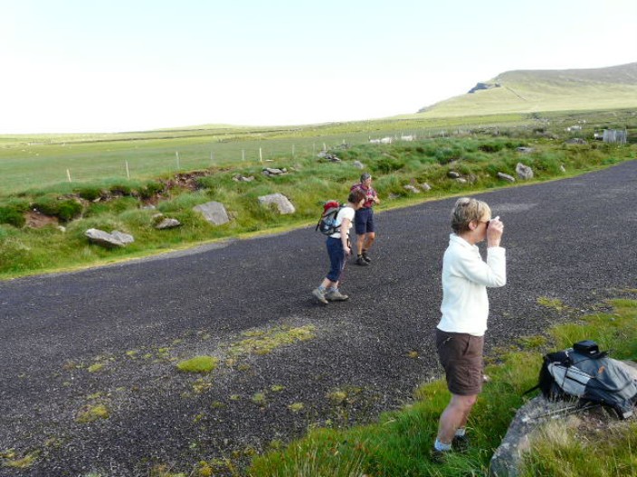
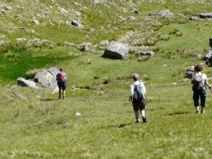
The climb isn't as bad as we thought it would be . . .
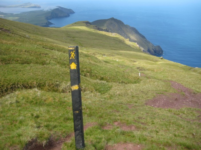
and has lots of waymarkers
Ballydavid Head . . .
and a pause to get our breath back
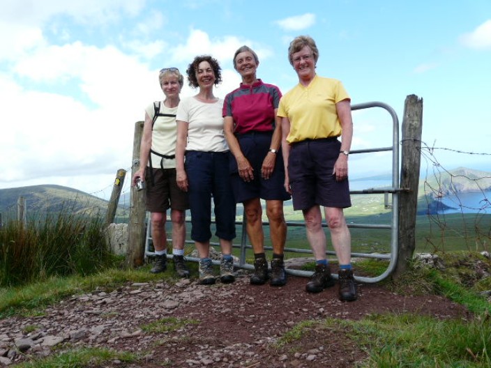
The gate provides an opportunity to use the timer . . .
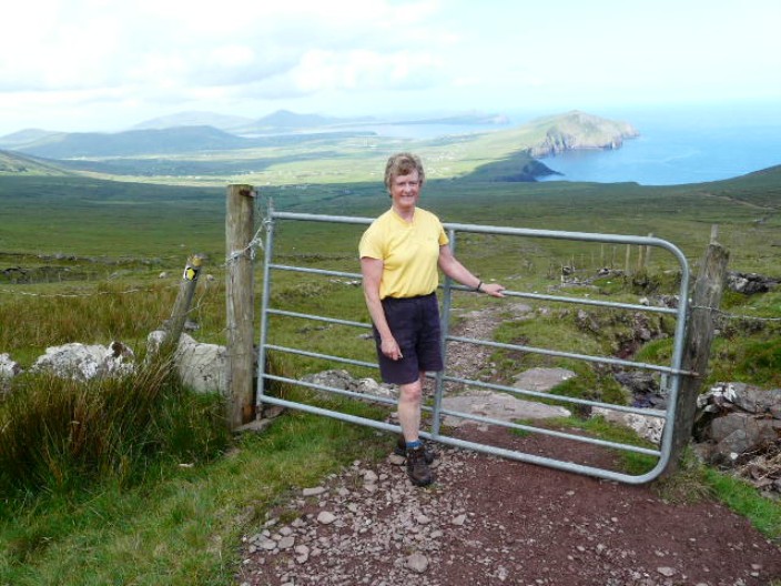
but a shot from a higher point, Marie's hands, gives a better
background to the photo
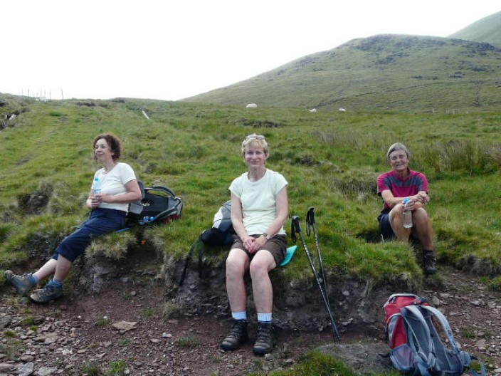
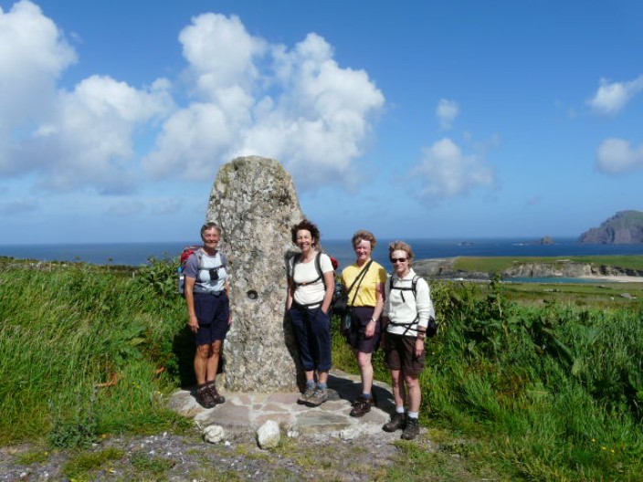
Nearing the top we take time out for refreshments . . .
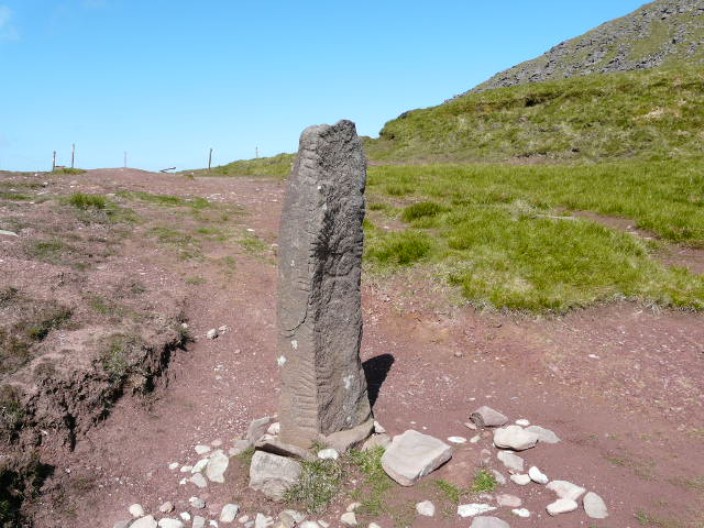
and just beyond the highest point we find a standing stone . .
.

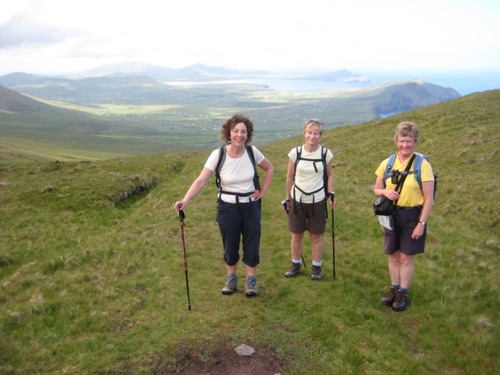
where Marie captures me setting up the timer . . .
making sure the position is just right . . .
for a group photo
Then its off down the other side - with some very big signs to
guide the way
Looking back at the shoulder we have just crossed
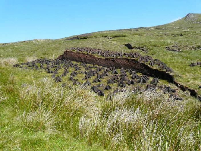
At last, a close up of the peat bog cutting . . .
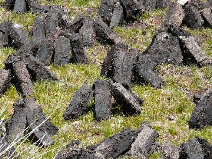
and stacking
Brandon Pier, and time for a cup of tea . . .
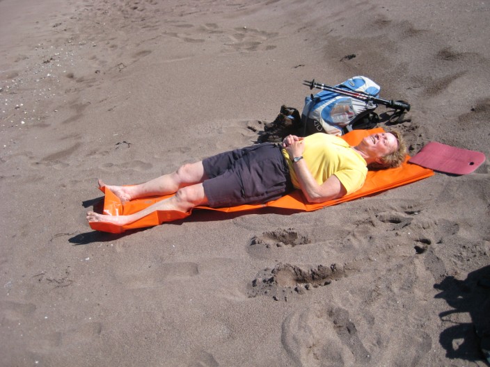
before finding an alternative use for a survival bag!

Then another beach walk . . .

before heading down the road to the B & B . . .
Benagh B & B - an older house but very welcoming
Top
Cloghane to
Castlegregory
18 miles, 900 feet
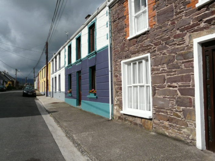
A short walk from the B & B brought us into Cloghane itself,
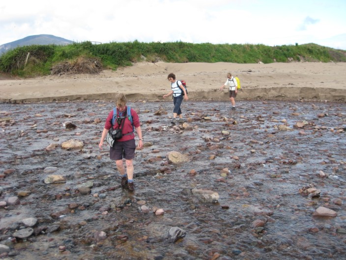
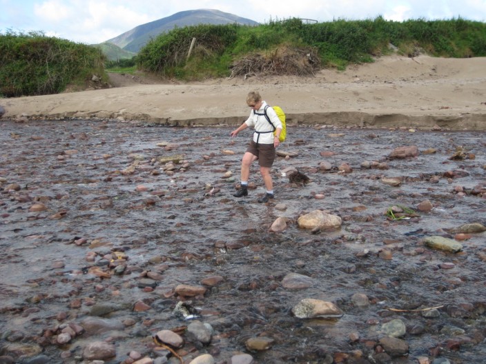
with its very colourful houses. After skirting Drom Hill it was onto the beach
for 6 miles along the beach and try as we might, it was hard to imagine that the
end of the beach in the distance was actually 6 miles away. After stowing the
boots on our backpacks we set out on firm sand, making the walking easier.
Picking our way carefully through pebbly sections and paddling in the shallow
water added variety to the
long trek. Eventually reaching the exit point all traces of sand were removed
from feet before donning boots to traverse the peninsula, passing a very
inviting pub on the way. Being the penultimate day it was decided to forego the
picnic lunch and take in the delights of pub fare. Suitably refreshed we made
our way to the next beach but found that it was unsuitable for bare feet and
continued appropriately shod. Before long we were heading into Castlegregory and
quickly spotted our B & B.
Leaving Cloghane, a dark sky . . .

but colourful houses
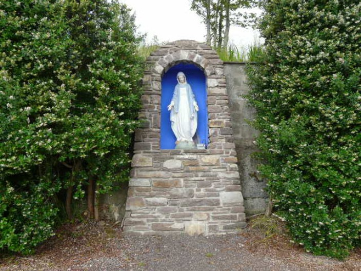
We had seen a number of shrines en route, this one next to a
school
Oyster catchers looking for breakfast
A last look back at Brandon Mountain - now in mist again
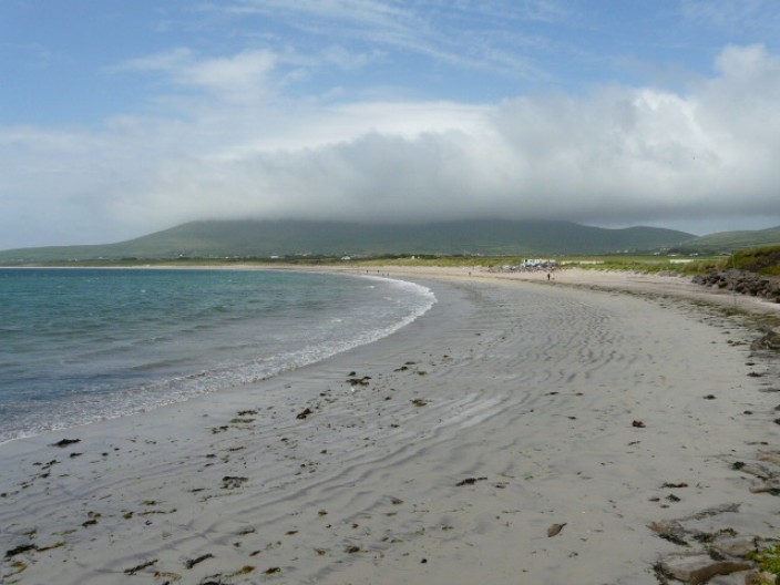
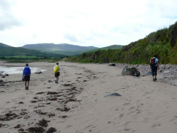
Boots off for the 11 kilometre beach . . .
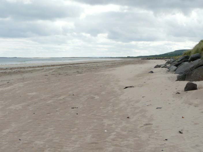
the longest in Ireland - as far as you can see to the left!
What happened to the legs?!
Striding out - we are glad the sand is firm . . .
as we have a long way to go!
Debbie leads the way . . .

and we try a little paddling to vary the route
A day out for schoolchildren . . .
what a way to end the school year!
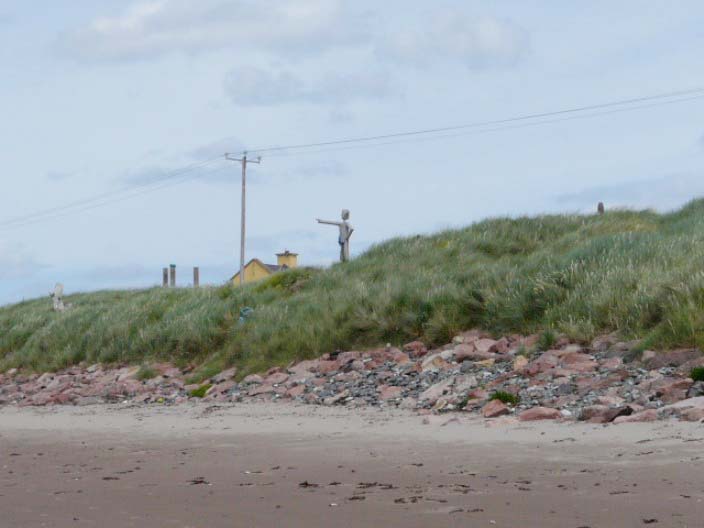
A figure on the dunes points the way . . .
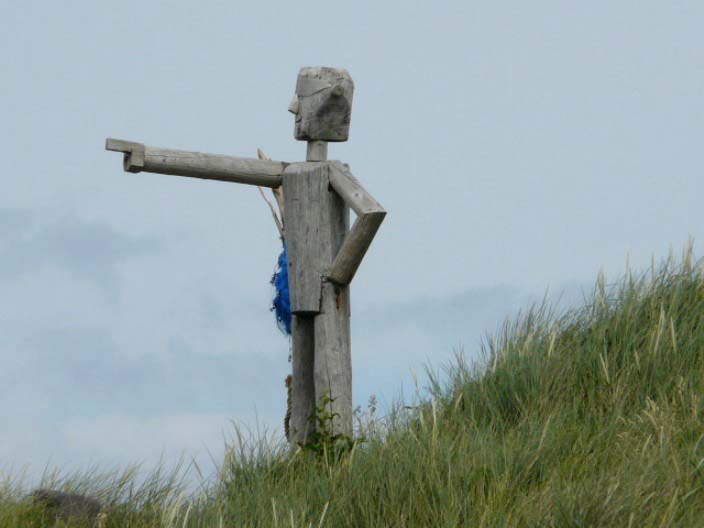
but I don't think he will be walking far!
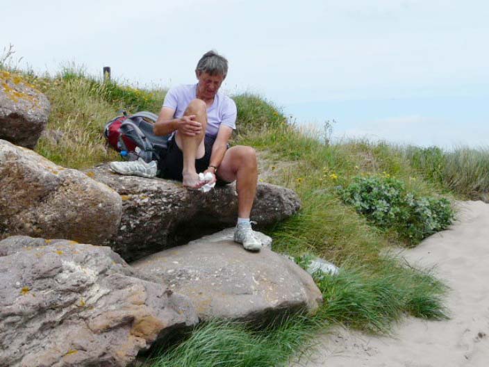
Time to get all the sand off our feet . . .

before putting the boots back on
A large rock is perfect for drying the wings
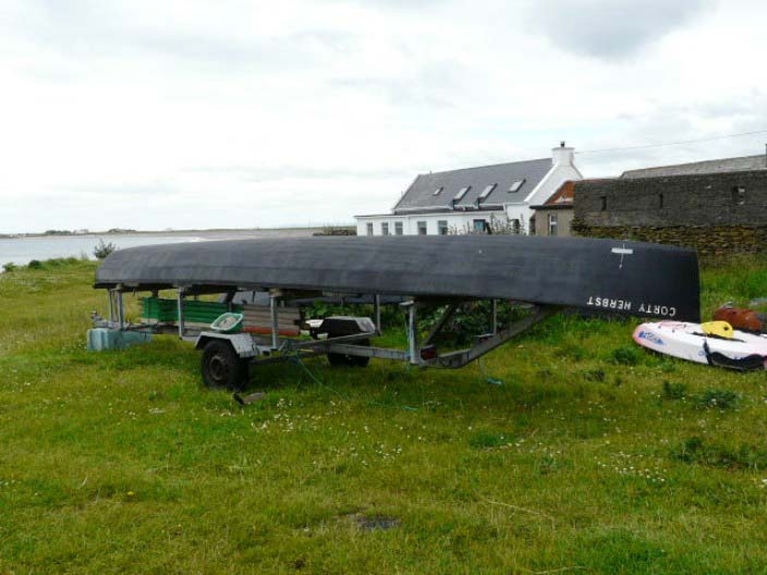
A curreagh, the typically Irish boats found in this area
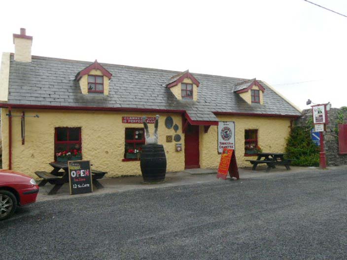
Ned Natterjack's . . .
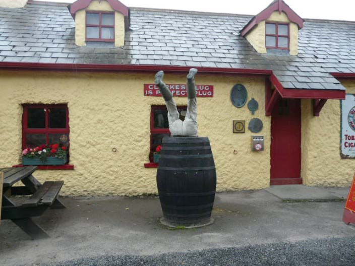
a traditional Irish pub . . .

5 minutes from Lough Gill, home of the rare natterjack toad
Castle House B & B, a very warm
Top
Castlegregory to Camp
7.6 miles, 320 feet
As we had chosen to start the walk from Camp instead of Tralee,
we had only 7 or so miles to return to Camp Junction House B & B. After an
initial stretch on the road we returned to the beach and were pleasantly
surprised to find the the route had been changed to stay on the beach rather
than trekking inland and then back to the beach. Arriving back at the B & B we
were pleased to find the car where we had left it 7 days ago. Thanks to John
Doyle, our host, for his permission to leave it 'at his place'. Our plan was to
visit the widely advertised Blennerville Windmill and Steam Train. We found the
windmill quite interesting but were disappointed to hear that the steam train
was no longer in operation and, from the looks of the tracks, hadn't been for
some time.
Following heavy rain during the night, we are relieved to find that
we don't have to paddle across this ford

A couple of ponies enjoy their breakfast
Fortunately the stream widens on the beach . . .

and can be crossed without getting wet feet . . .
as long as you take care
Our final destination, Camp, comes into view . . .
as we near the end of the route on the beach . . .
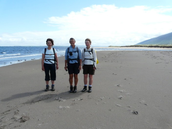
and pose for a final group shot

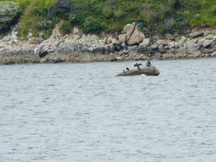
Zooming in on a cormorant
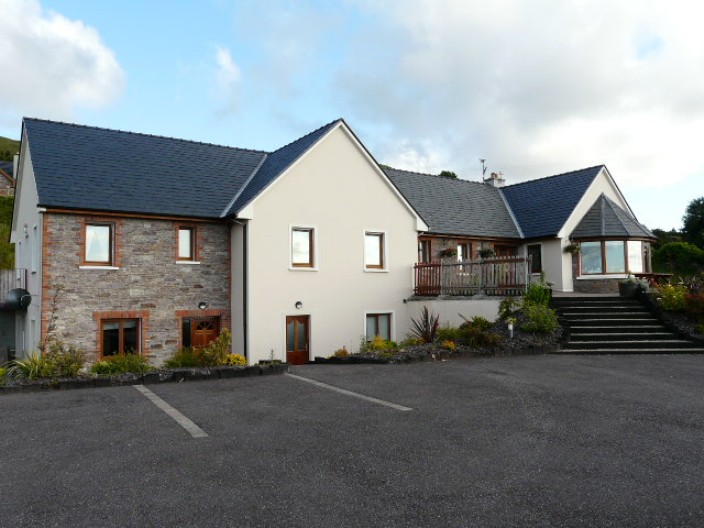
We had looked forward to our return visit to Camp
Junction House, a top quality B & B
In total we walked 92 miles and climbed just over 8,200 feet in
7 days. Personally, I found too much of the route followed boreens and tracks
rather than footpaths but there was a wide variety of scenery and great views.
Many of the B & Bs were purpose built and furnished to a high standard. Of
course, the weather can make all the difference on long distance walks, and it
had been very kind to us.
Return
to Introductory Page
Top
|