| Walk: |
Braithwaite, Grisedale Pike, Hopegill Head, Coledale Hause, Grasmoor, Eel Crag (Crag Hill), Sail, Outerside, Stile End, Barrow, Braithwaite Lodge |
||
| Start Point: | Braithwaite Quarry | Grid Ref: | NY 227 237 |
| Distance: | 12 miles | Ascent: | 4,970 feet |
| Time: | 8 hours | ||
| Weather: |
Mainly sunny with the wind not as strong as on previous days, but still a cold easterly. |
||
Comments: |
|
||
Scroll down to see more photos
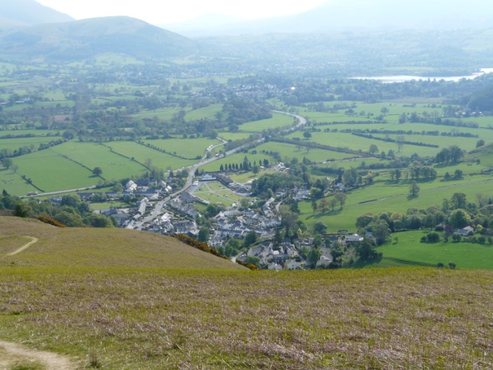
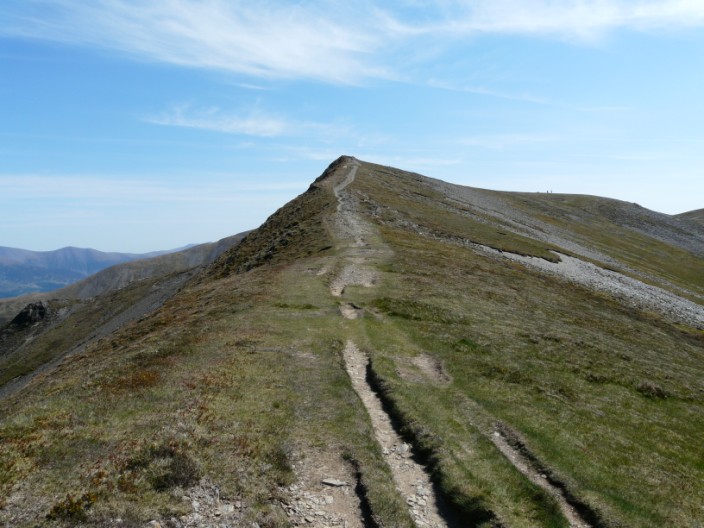
We soon climb up above Braithwaite . . .
and our path continues ever upwards
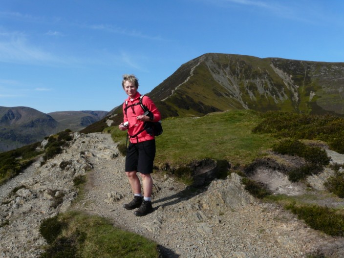
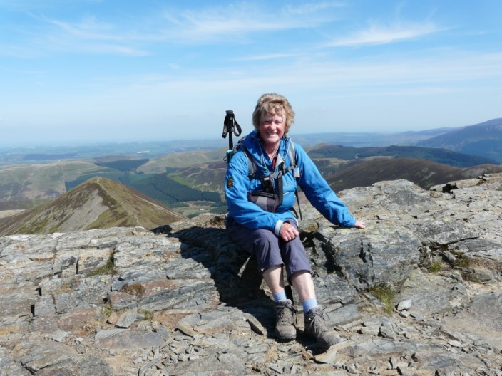
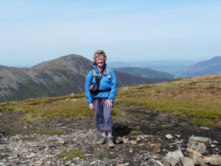
Time for Sheila to take a photo . . .
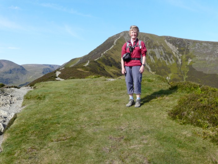
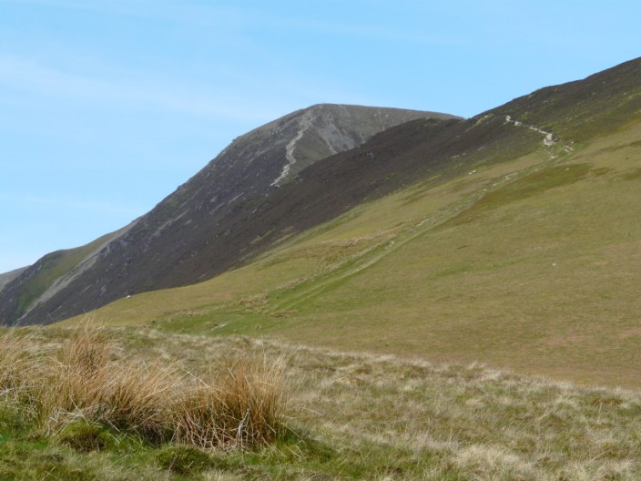
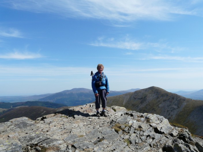
and one for me with Grisedale Pike in the background
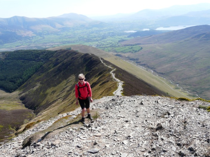
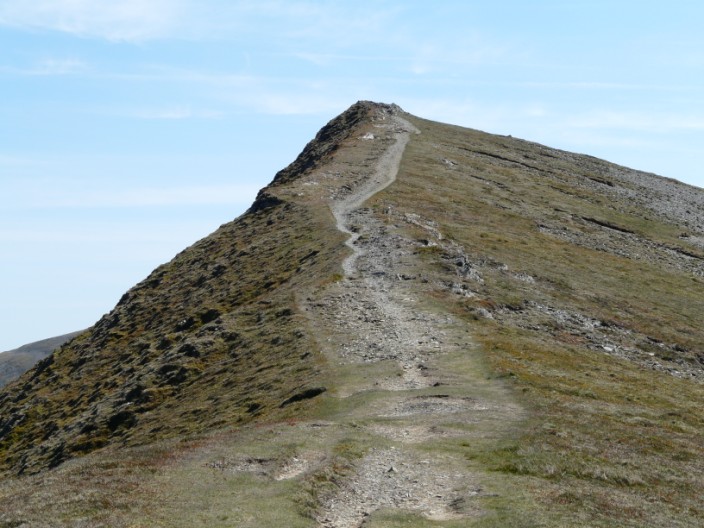
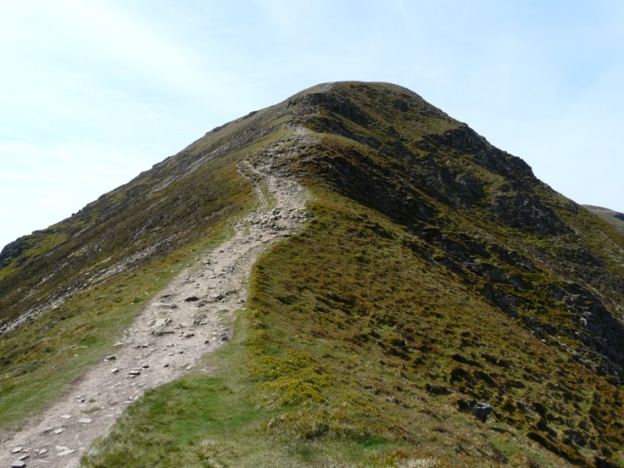
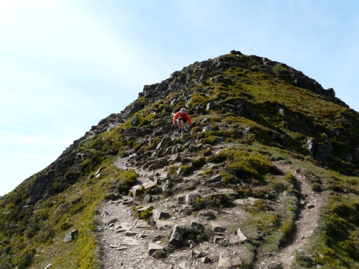
A brief stop on the steeper climb to the summit . . .
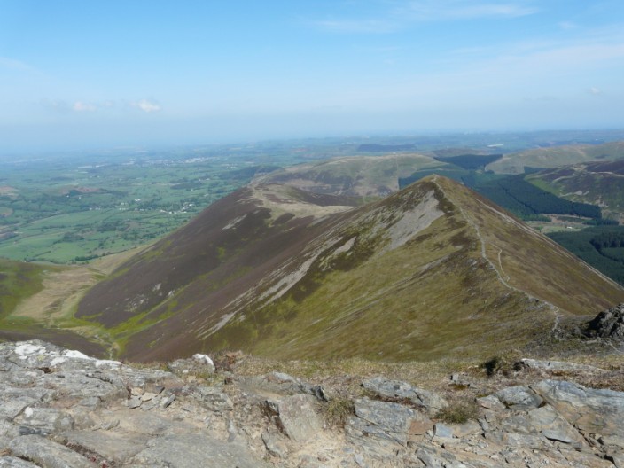
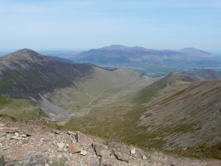
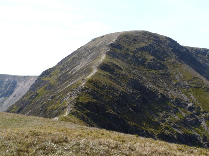
Grisedale Pike with Hopegill Head to the right and Grasmoor to the left
The path skirts the top of Hobcarton Crag
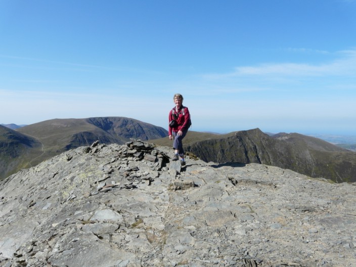
On top of the world . . . .
or should I say 'Hopegill Head' with Grisedale Pike to the right
To the left Ladyside Pike provides . . .
an alternative route up . . .
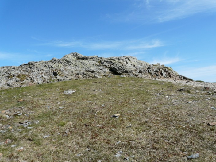
to this rocky summit
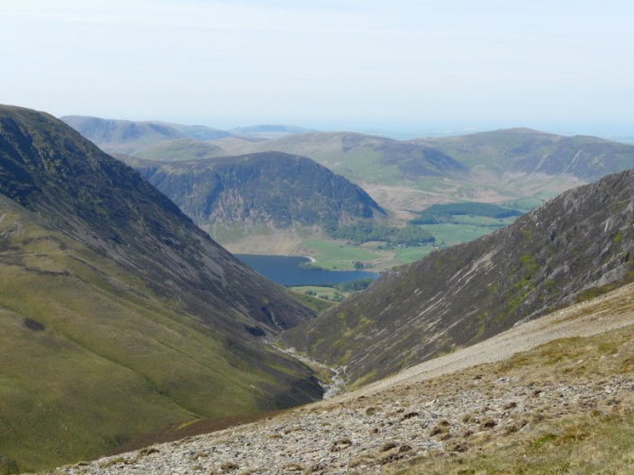
Looking down the Gasgale Valley to Buttermere
Looking back to Hopegill Head . . .
from our detour to check out . . .
the route to Whiteside
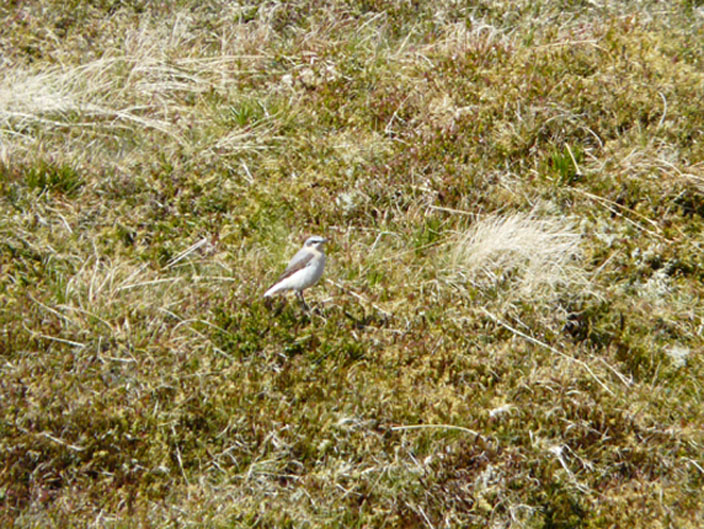
Zooming in on a bird - but don't know what it is?
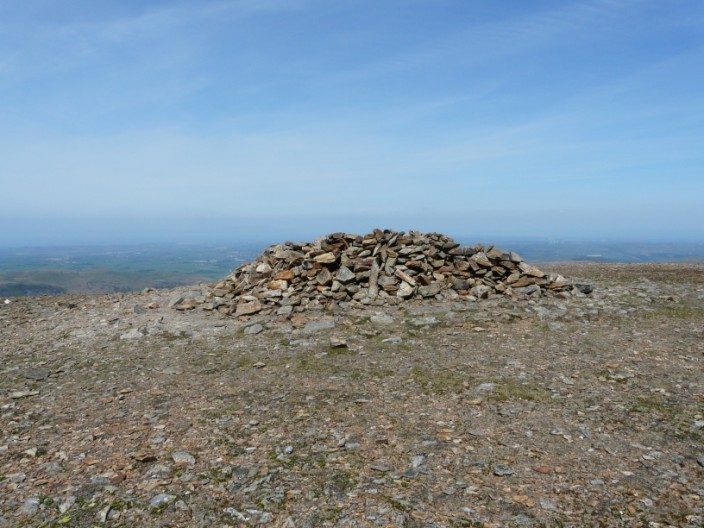
The summit of Grasmoor, as Wainwright describes it, is marked by 'a huge heap of stones divided into shelter compartments,
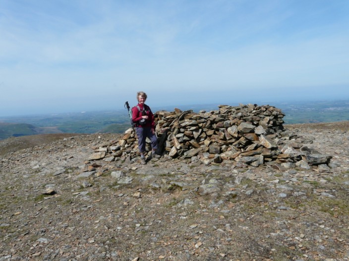
open to the sky, designed to give protection from wind (but not wet) coming from any direction'
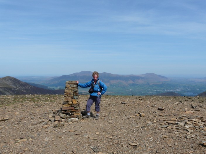
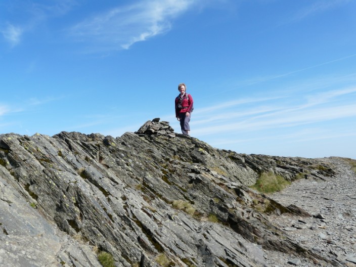
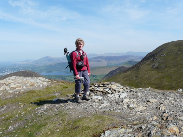
The summit of Eel Crag (Crag Hill) is marked by a fine trig point . . .
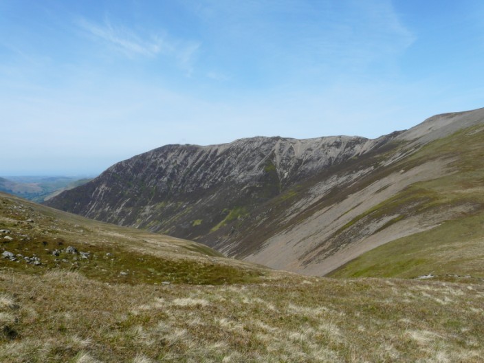
and a good view down the Coledale Valley
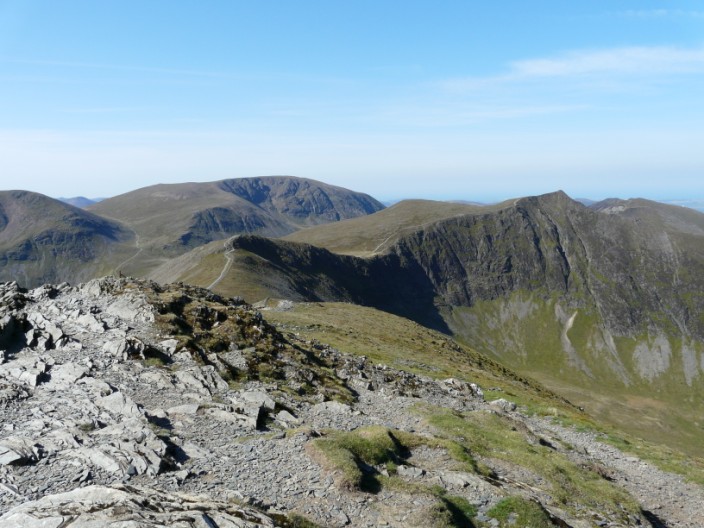
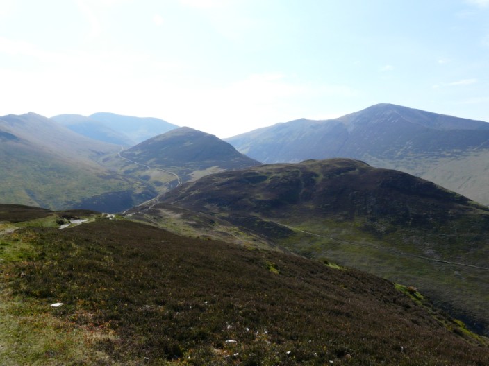
From the descent route the next summit, Sail, can be seen
Parts of the descent are reasonably gradual . . .
while other parts are a little steeper . . .
and the whole descent can be seen from Sail . . .
which has now lost its cairn
Outerside is a short detour from the main path . . .
as is Barrow
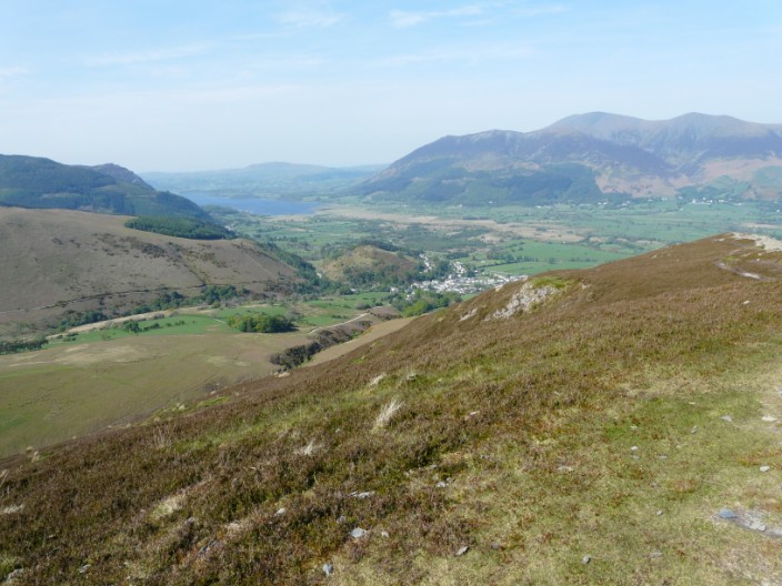
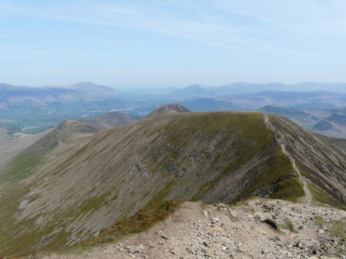
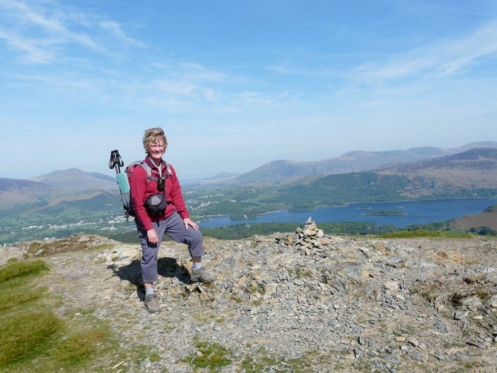
From Barrow we can see Bassenthwaite ahead . . .
and behind Outerside is surrounded by the Coledale Fells . . .
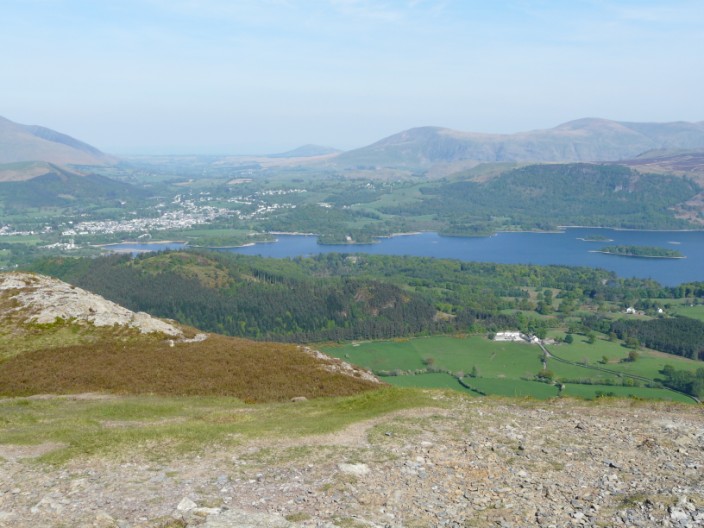
and to the north-west is Keswick and Derwent Water