| Whin Rigg & Illgill Head 19/10/2013
Scroll down to see photos of the walk
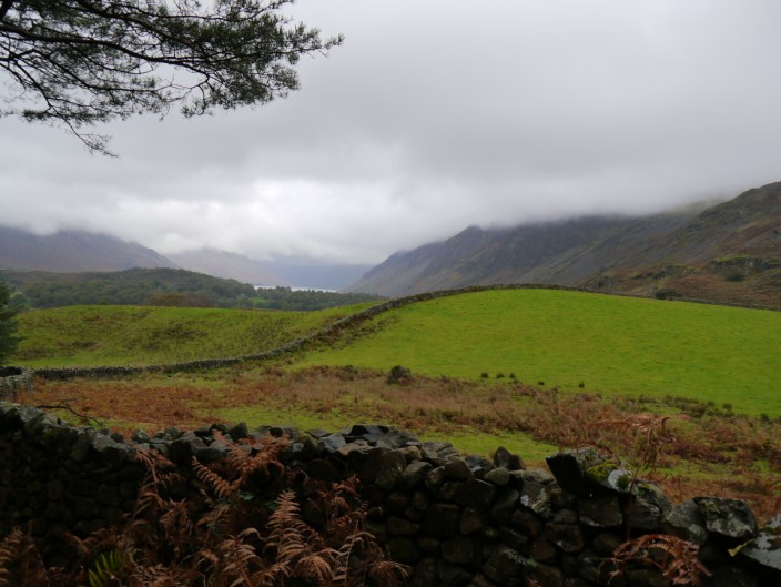
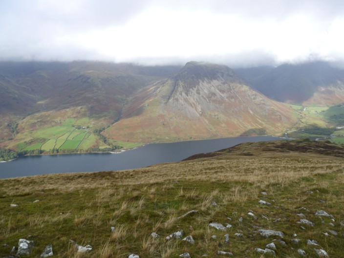
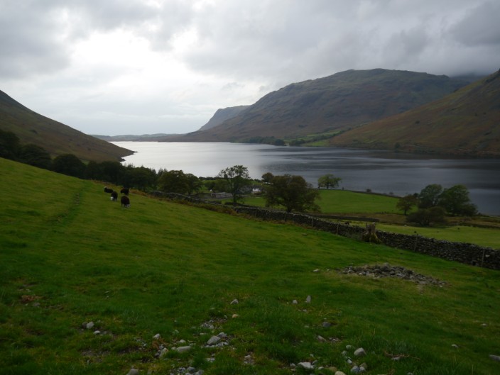
Mist covers the fells surrounding Wastwater
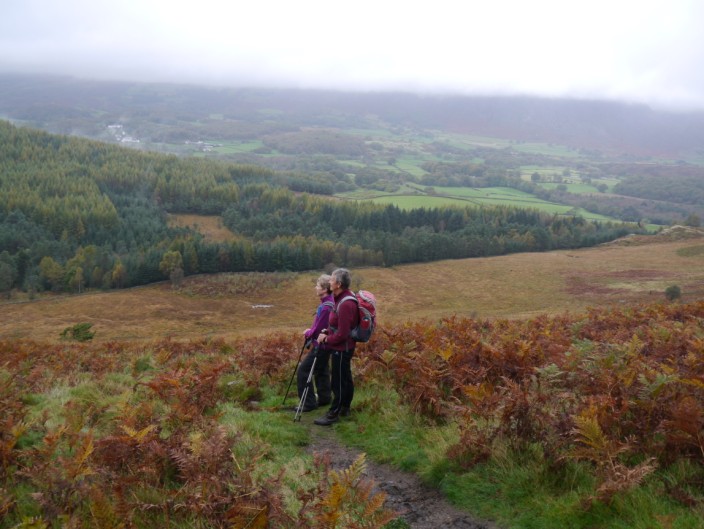
Sheila and Marie take in the views down the valley . . .
past Latterbarrow
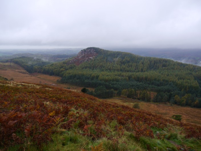
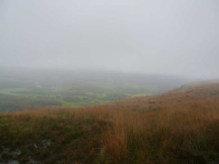
The mist closes in as we climb higher
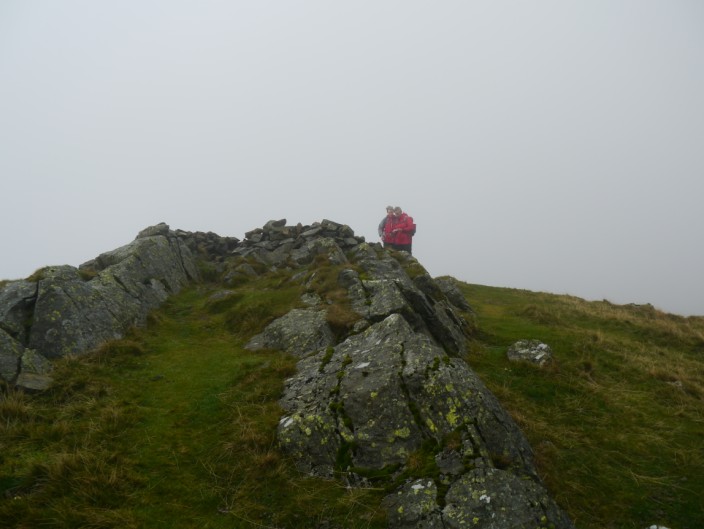
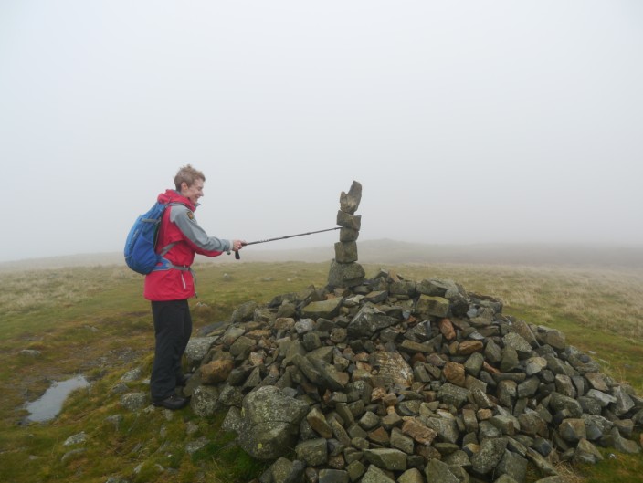
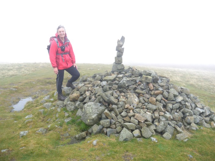
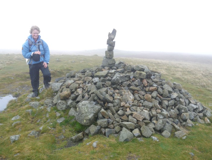
Reaching Whin Rigg . . .
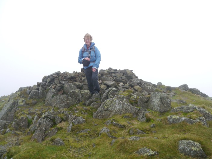
Kath . . .
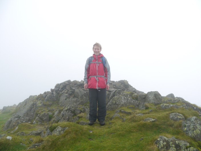
Marie . . .
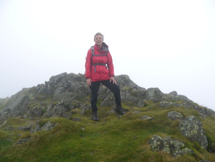
and Sheila pose for a summit shot
Then at Illgill Head . . .
we all pose . . .
again
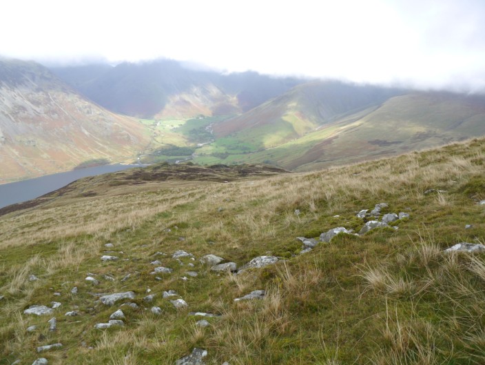
As we descend we can see Wasdale Head in the sun . . .
and across Wastwater to Yewbarrow
Sheila leads the way . . .
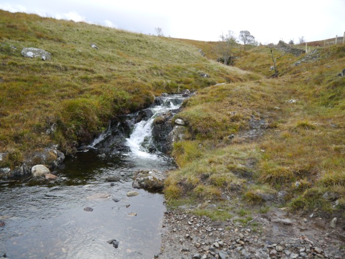
as we make our way past the gill . . .
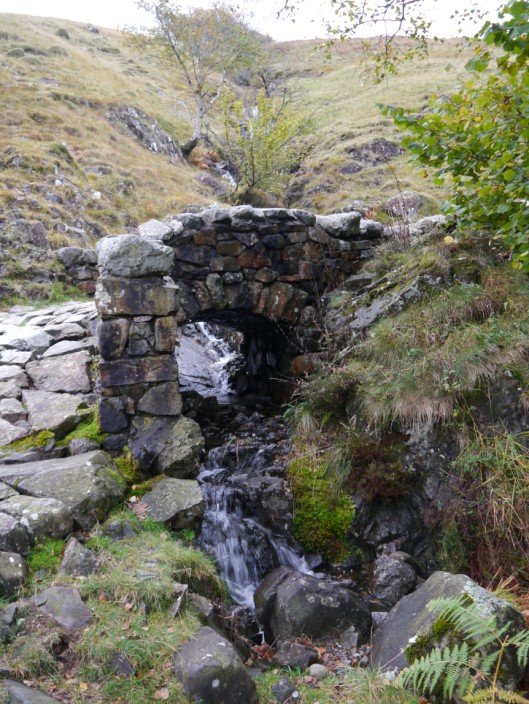
and over the footbridge
Looking down the valley to Middle Fell
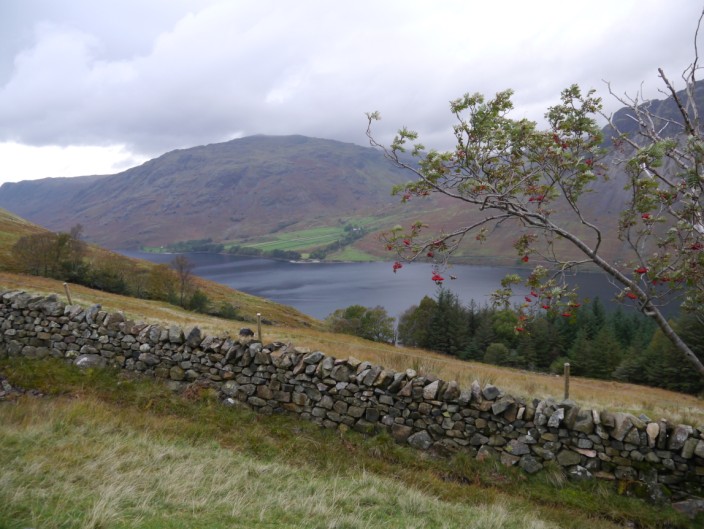
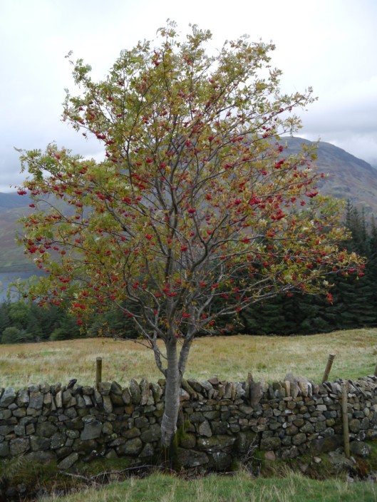
Lots of rowan berries for the birds
A last view of Wastwater . . .
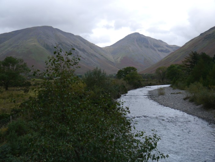
before we cross Lingmell Beck
|
||||||||||||||||||||||||