| Vrata Valley Wednesday, 18th July 2012
Scroll down to see photos of the walk
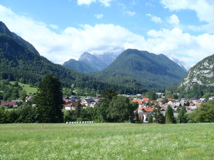
Looking to the mountains above Mojstrana . . .
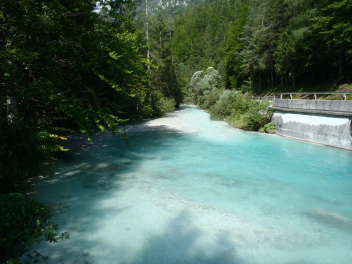
before we cross the Bistrica River
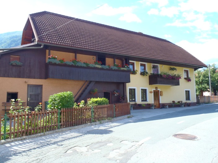
An impressive house in Mojstrana . . .
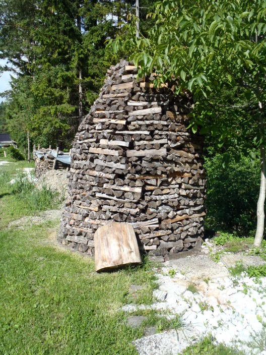
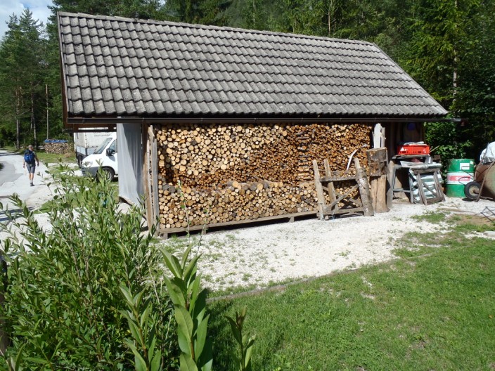
and nearby an interestingly constructed wood pile . . .
especially compared to this one
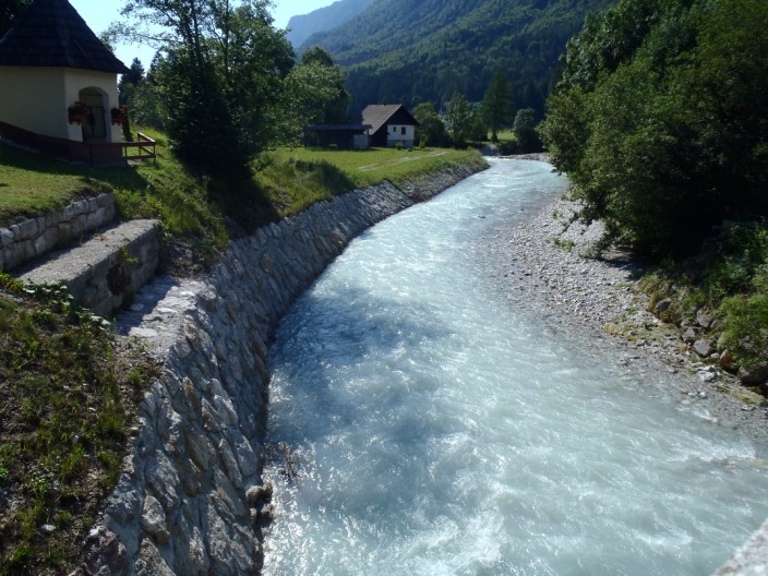
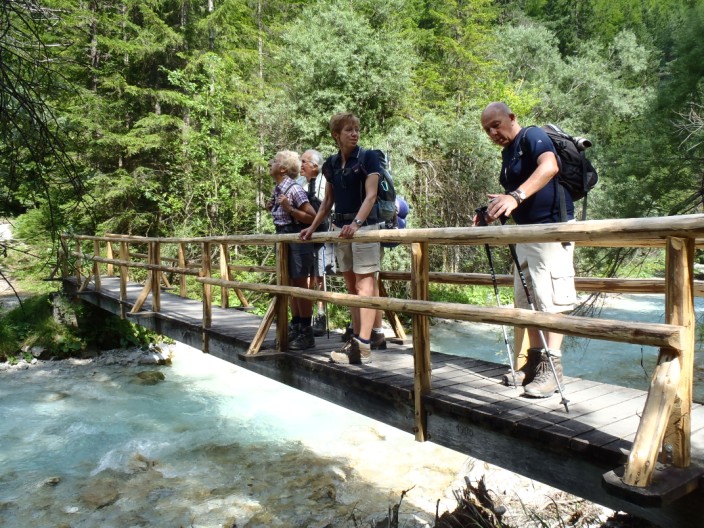
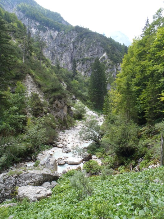
Some of the group take a good look . . .
at the river
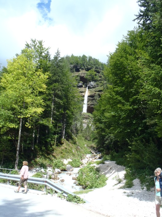
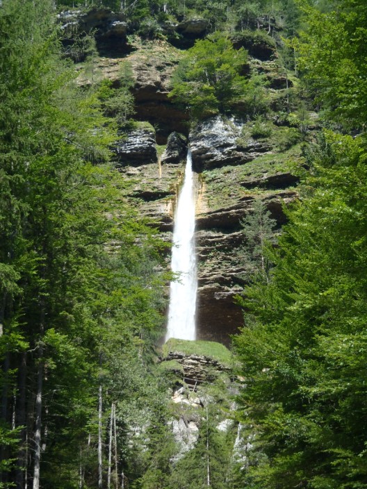
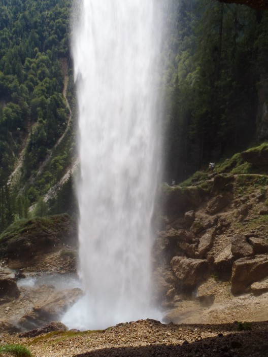
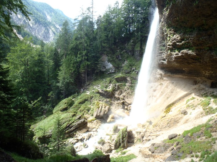
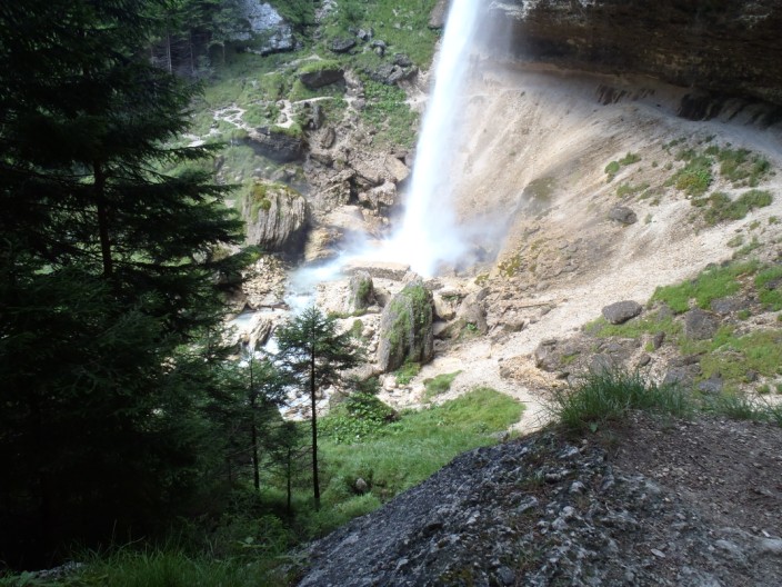
Our first view of the Peričnik waterfall . . .
seen again in close up . . .
but we can only see the bottom waterfall
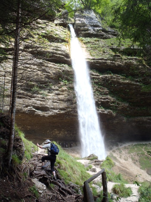
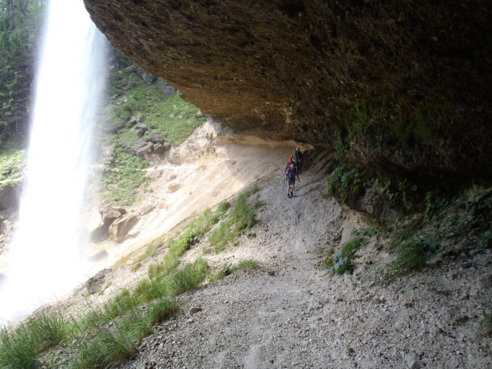
Climbing up to the waterfall . . .
some of the group are already behind it
Reaching the ledge behind the waterfall . . .
we can look back to the path we walked along . . .
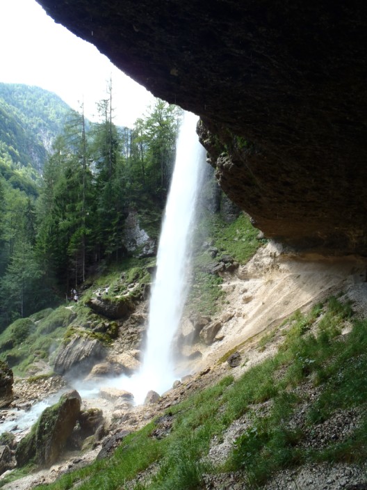
before continuing along the path . . .
and another shot looking back to the waterfall
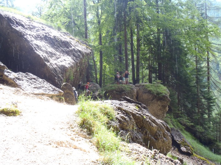
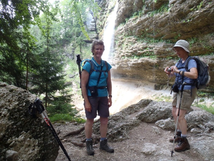
Some of the group have found another vantage point . . .
so we try out the same spot . . .
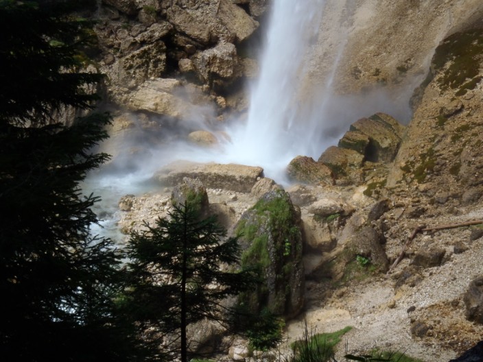
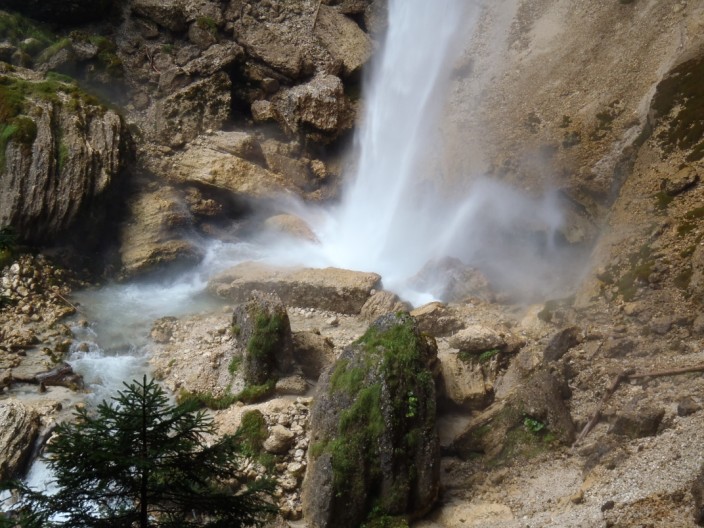
and zoom in on the bottom of the fall
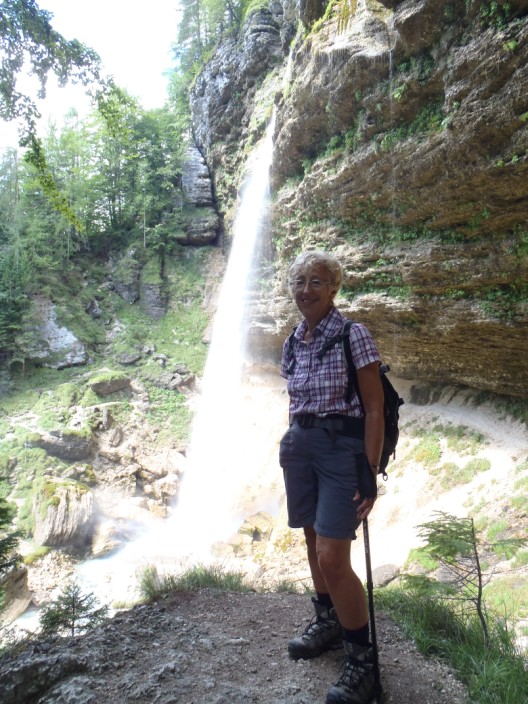
Time for a couple of . . .
personal photos . . .
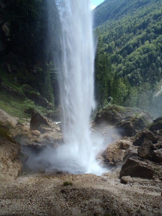
and a last look down . . .
at the force of the water as it reaches the rocks
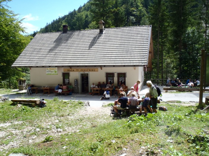
We return to the Dom for elevenses . . .
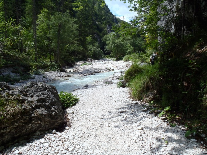
before heading along a riverside path . . .
which undulates . . .
and weaves its way through the trees
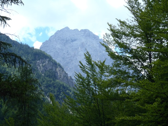
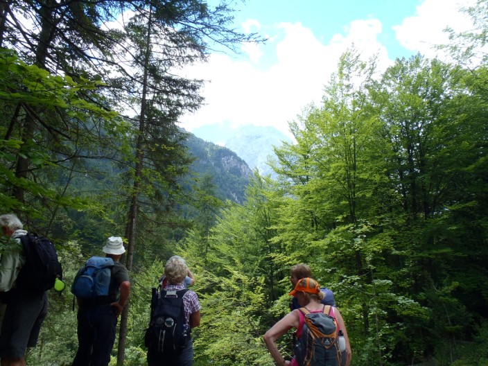
We are suddenly rewarded with a good view of Triglav
which the group stops to enjoy
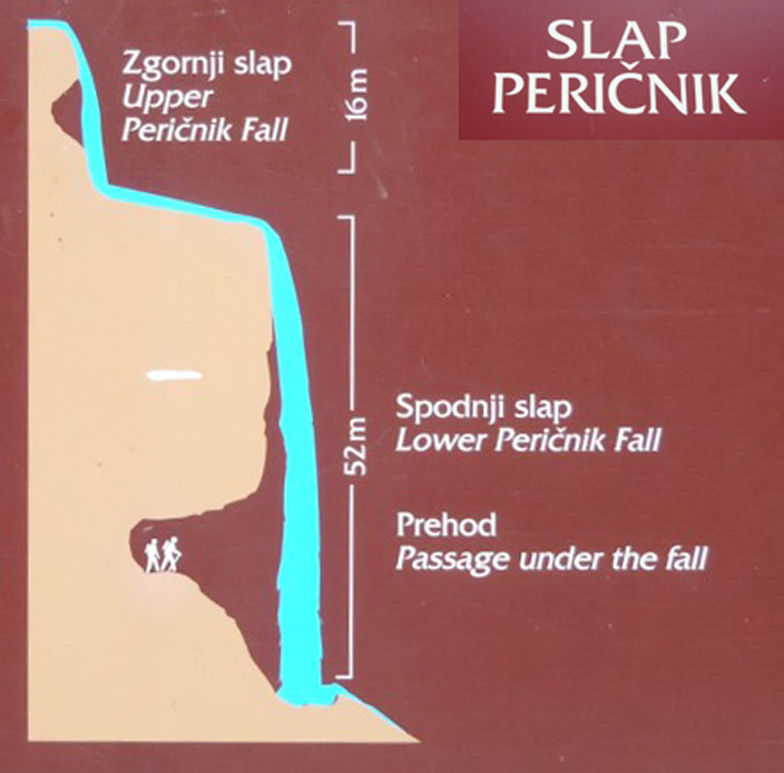
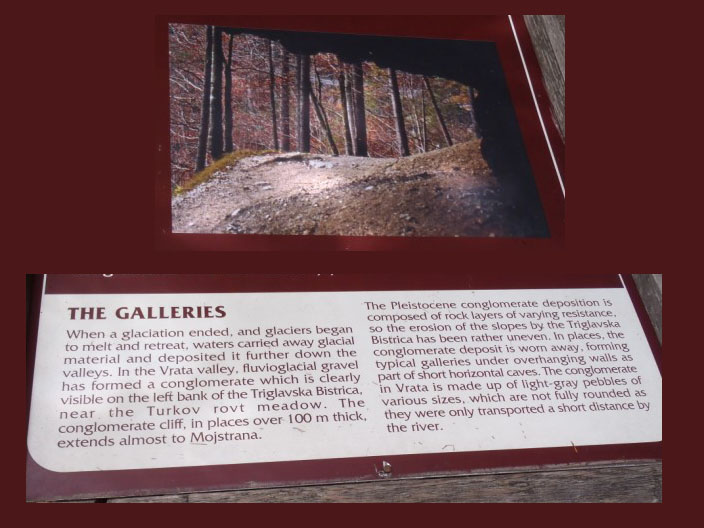
Information about 'The Galleries' . . .
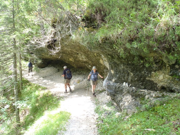
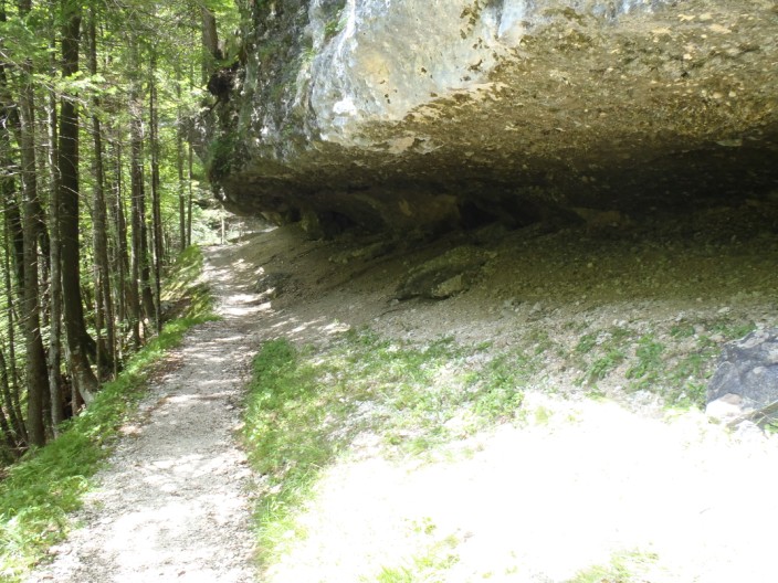
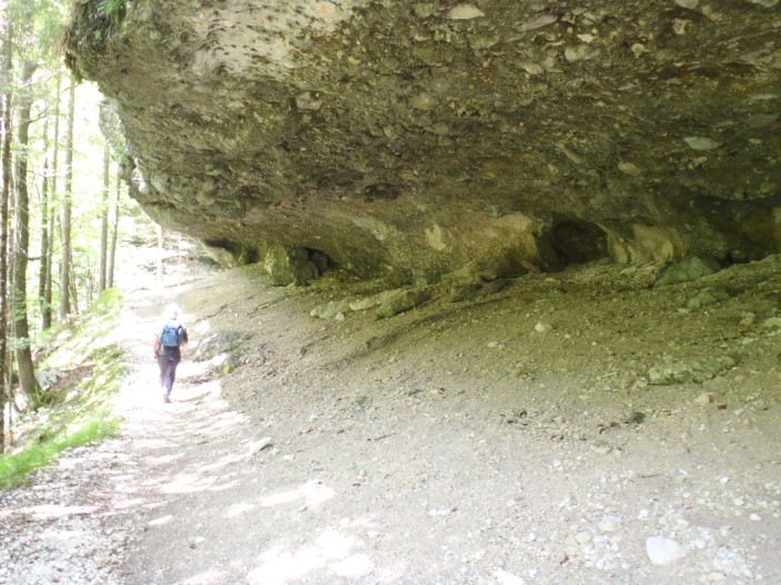
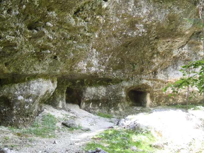
which we now reach . . .
and take some time . . .
to photograph . . .
in both directions . . .
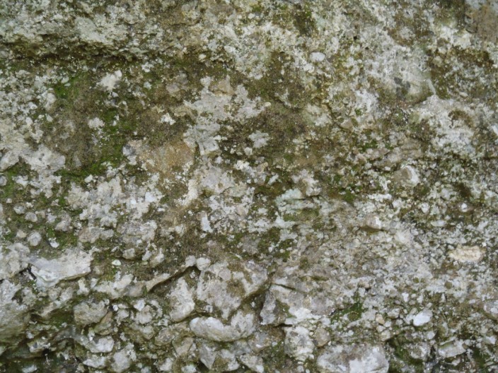
before taking a closer look at the conglomerate rock
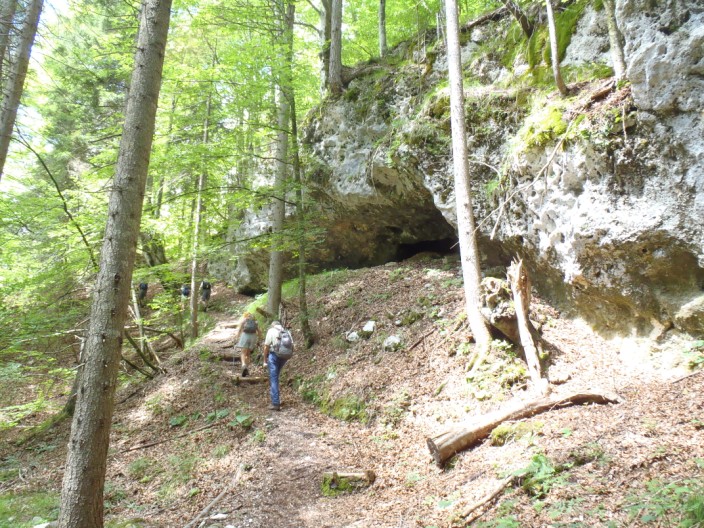
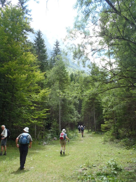
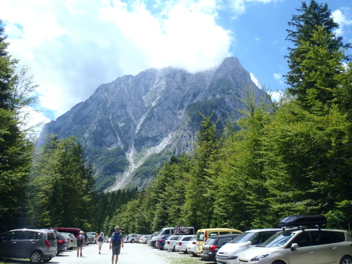
Then a wooded area . . .
takes us to the car park where we see the flanks of Stenar to the right (the C+ destination)
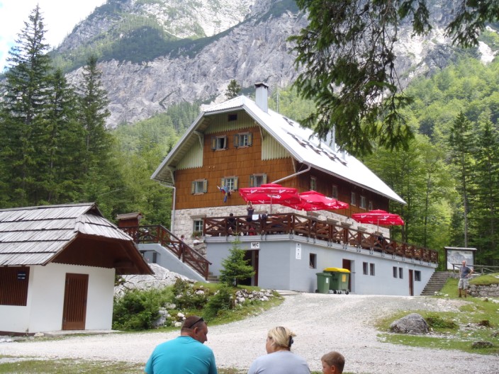
The Aljažev Dom is the venue for our lunch stop
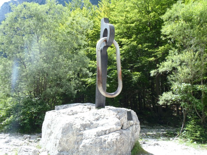
Continuing on our way we pass a giant rock piton with a karabiner – a memorial for all victims of the mountains.
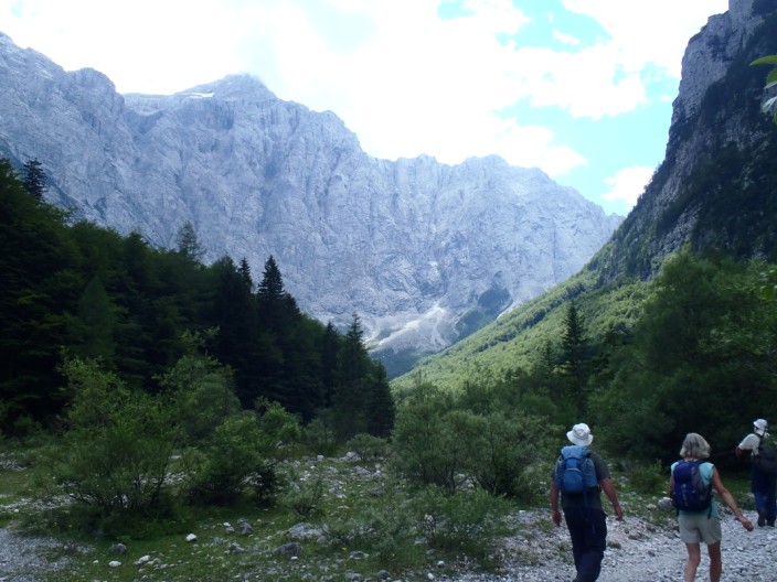
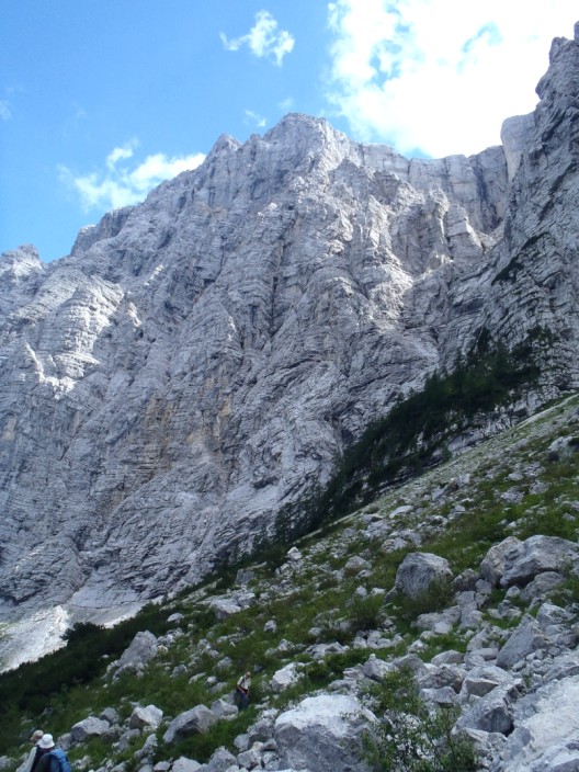
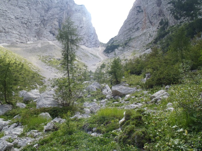
The north face of Triglav comes into view . . .
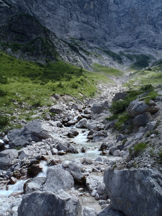
and we have nearly reached the source of the Bistrica river
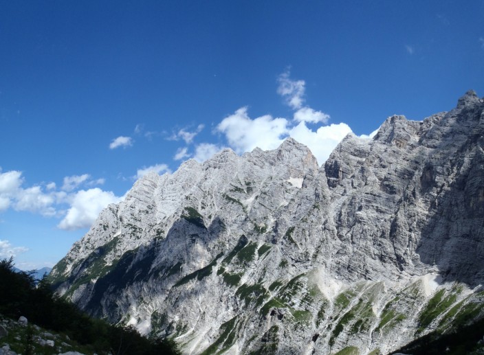
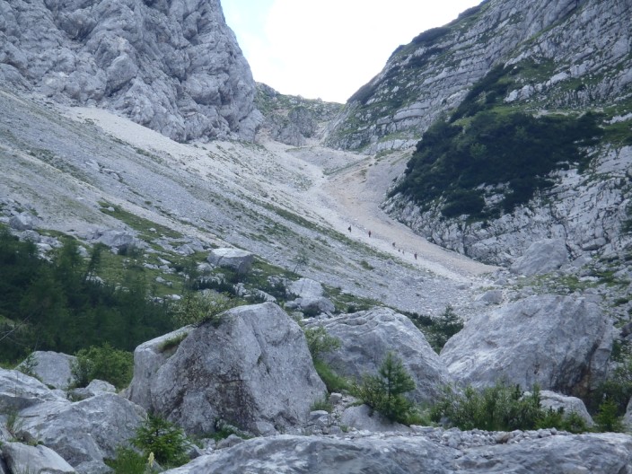
The Luknja Pass c- but we aren't going quite that far . . .
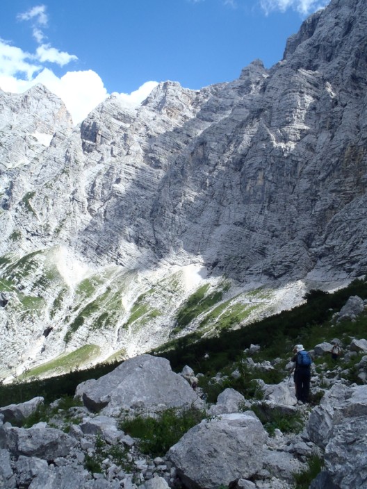
and to our left . . .
the great north face . . .
of Triglav
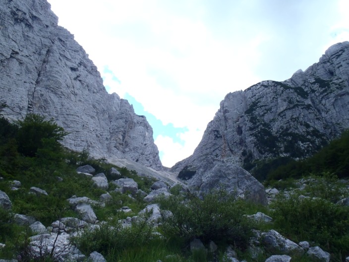
As we cross over the gorge . . .
we see a group descending from the pass
|