|
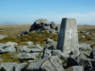
Ward's Stone
| Height: |
1,839 feet 561 metres |
 |
| Area: |
Forest of Bowland |
| Grid Ref: |
SD 592 587 |
| Map: |
OS Outdoor Leisure 41 Forest of Bowland and Ribblesdale |
| Type: |
Summit |
|
DATE |
WALK |
DISTANCE |
ASCENT |
TIME TAKEN |
|
Sunday, 24th April 2011 |
Tarnbrook, Tarnbrook Fell, Ward's Stone,
Grit Fell, Clougha Pike, Hare
Appletree, Tumbers Wood, Abbeystead |
16 mls |
1,680 ft |
7.5 hrs |
|
Wednesday, 22nd July 2009 |
Abbeystead, Tarnbrook, Ward's Stone,
Grizedale Head, Higher Lee, Grizedale Bridge |
12 mls |
2,400 feet |
5.5 hrs |
Return to Other
Summits List
|