|
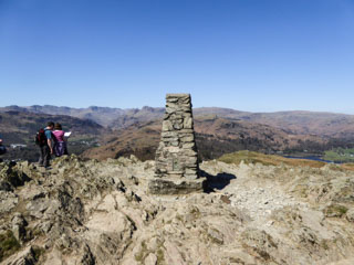
Loughrigg Fell
| Height: |
1,101 feet 336 metres |
|
| Ranking: |
211 |
| Grid Ref: |
NY 34695 05137 |
| Map: |
South-eastern Area |
| Book: |
Central Fells |
| DATE |
WALK |
DISTANCE |
ASCENT |
| Thursday, 12th August 2021 |
Penny Rock Woods, Grasmere shore, Red Bank, Loughrigg Fell summit, main footpath, Fox How, River Rothay footpath, Rydal Water |
7.7 mls |
1,364 ft |
| Tuesday, 21st April 2015 |
Fox Ghyll, Scartufts, Loughrigg Fell, Loughrigg Tarn, Miller Brow |
6 mls |
1,700 ft |
| Wednesday, 19th March 2014 |
Ivy Crag, Loughrigg Fell, Loughrigg Terrace, Rydal Cave, Rydal Hall, Low Sweden Bridge, Ambleside, Rothay Park |
8 mls |
2,000 ft |
|
Sunday, 1st March 2009 |
Elterwater, Stang End, Colwith Force,
Skelwith Bridge, Loughrigg Tarn, Loughrigg Fell, Red Bank, Spedding
Crag, Megs Gill, Chapel Stile, Great Langdale Beck |
10.8 mls |
2,550 ft |
|
Saturday, 19th
January 2008 |
Pelter bridge, Loughrigg Terrace,
Loughrigg Fell, Fox Ghyll, Pelter
Bridge |
5 miles |
1,120 feet |
|
Wednesday, 2nd January 2008 |
White Moss car
park, Loughrigg Fell, Loughrigg Tarn, Red Bank, weir, car park |
5 miles |
1,500 feet |
|
Sunday, 18th March 2007 |
Rothay Park, Ambleside, Low Sweden Bridge, Rydal, Loughrigg Terrace, Loughrigg Fell, Rothay Park |
6 miles |
1,700 feet |
Return to Wainwrights List
|