
| Walk: | Fountain's Fell - Monk's Road, Malham Tarn, Pennine Way, Fountain's Fell, Darn Brook Fell, Littondale | ||
| Start Point: | Arncliffe Village | Grid Reference: | SD 932 718 |
| Distance: | 15 miles | Ascent: | 1,818 feet |
| Time: | 7.75 hours | ||
| Weather: | Broken cloud in the morning and early afternoon, sun later in the afternoon. Good visibility all day. | ||
| Comments: | Following Monk's Road from Arncliffe to Malham Tarn we enjoyed a wide, grassy path and a gradual incline. However, this changed as we approached Fountain's Fell, with the ground becoming rougher and quite a steep climb onto the fell where the wind was quite cold. After 'walking the plank' to avoid the boggy bits we eventually reached the summit and were rewarded with great views, including Pen-y-Ghent and Ingleborough. Contouring round Darnbrook Fell we made our way towards Pen-y-Ghent Gill and on to Littondale. Just after bypassing Litton we met a local farmer who took much pleasure in telling us about the wild turkey that was busy 'strutting his stuff' for the hens in his yard. After leaving the banks of the River Skirfare we were treated to another grassy path - much appreciated at the end of a 15 mile walk! | ||
Scroll down to see photos of the walk
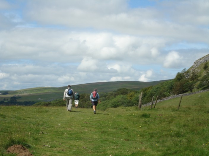
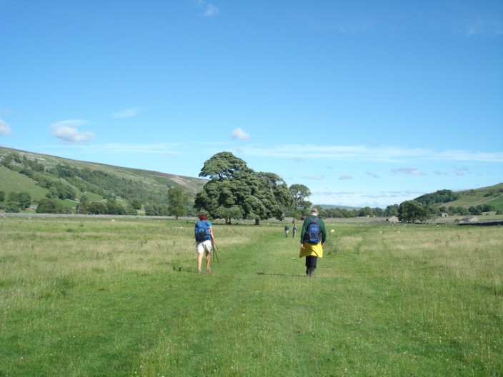
Heading up Monk's Road we leave Arncliffe behind

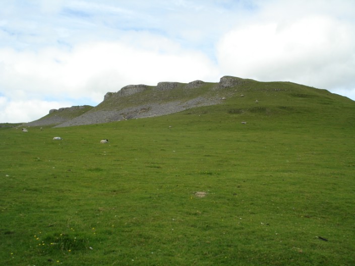
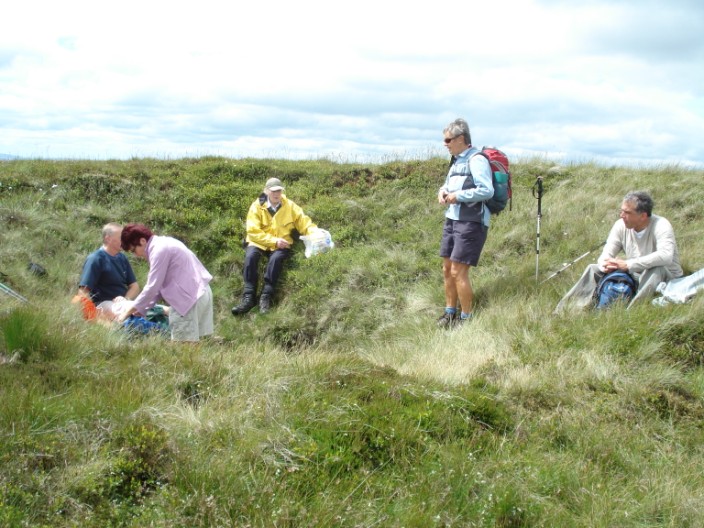
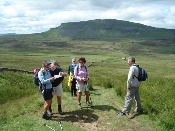
Time for a break beneath the rocky limestone outcrops
Like a carpet beneath our feet
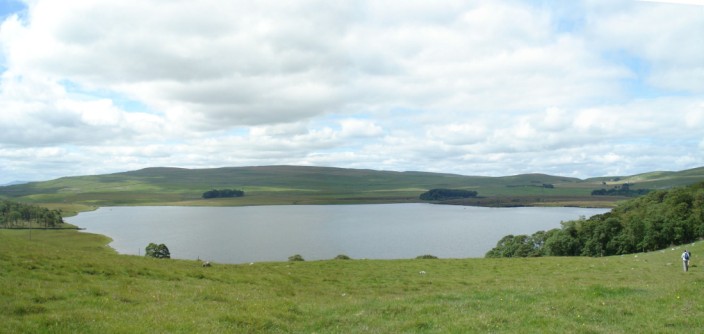
Malham Tarn
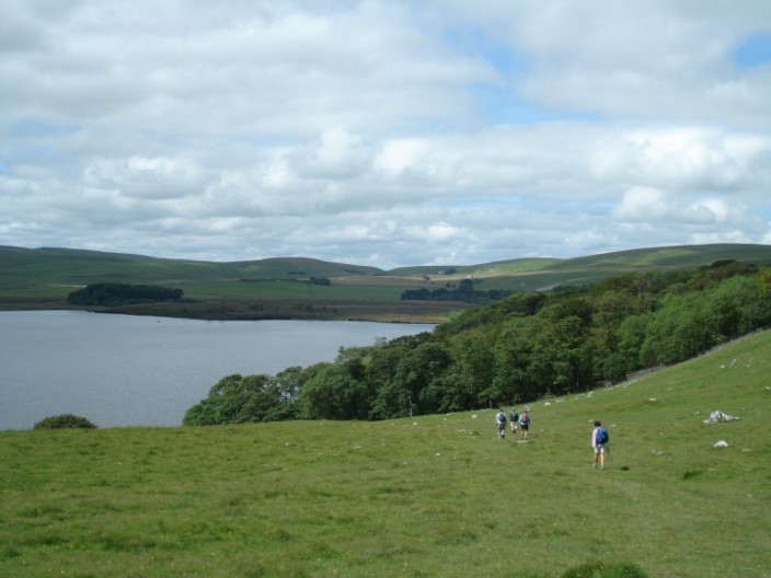
Group heads down to join the Pennine Way
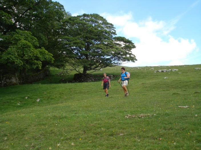
Marie and Mandy enjoy the easy walking

Malham Tarn Field Centre
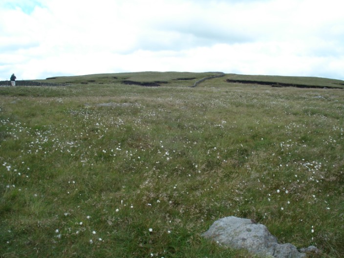
Limestone outcrops on Malham Moor

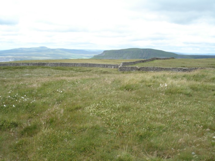
Name that valley!

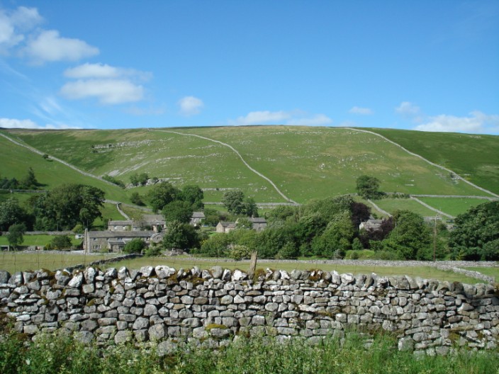
Climbing Fountain's Fell with Malham Tarn in the distance . . .
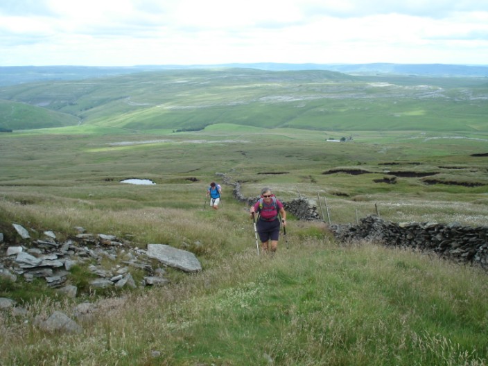
This is steeper than it looks . . .
and there is still more climbing
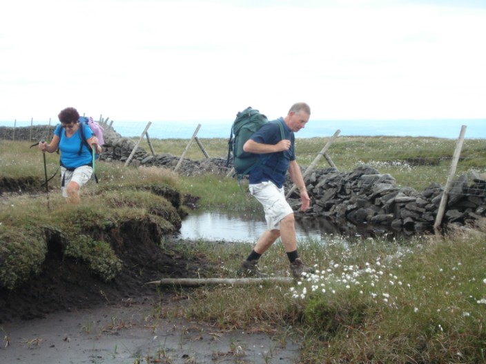
Ray 'walks the plank'
Mandy hasn't lost her legs - she's just standing in a hole!
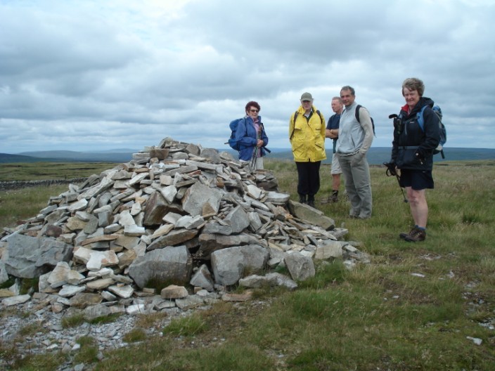
It's cold on the summit of Fountain's Fell
Pen-y-Ghent and Ingleborough from Fountain's Fell summit

A rocky patch in an otherwise gradual descent
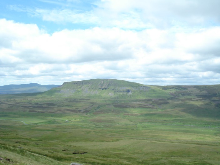
Pen-y-Ghent catches the sun
Who's telling who where to go?
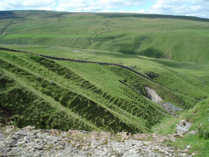
An interesting gully - there are caves round the corner (according to the map)
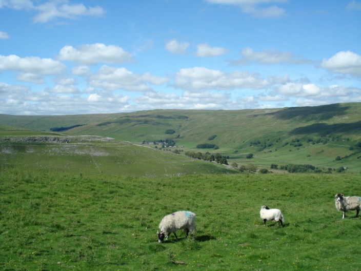
Halton Gill, near the top end of Littondale
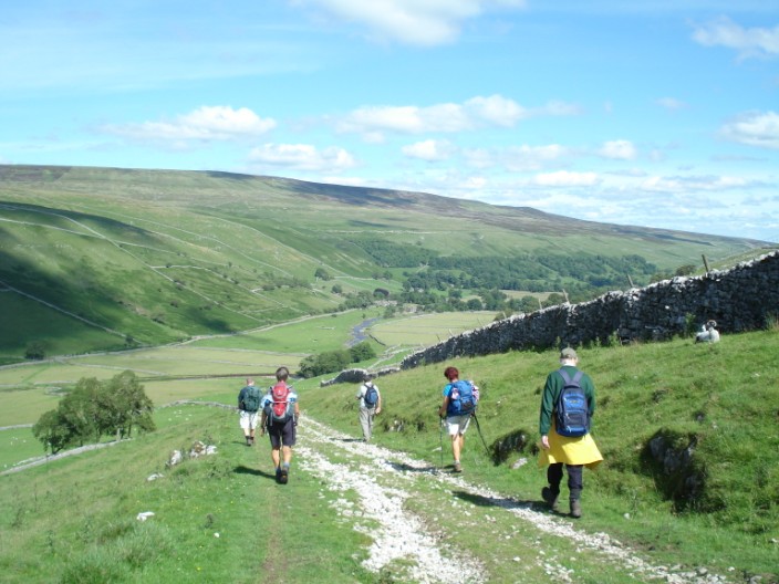
Heading down to Littondale

The River Skirfare - the man on the left has a wet suit on!
Litton
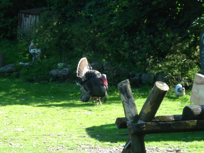
A friendly farmer told us that this turkey flew into his yard 2 - 3 years ago . . .

and enjoys 'strutting his stuff'!
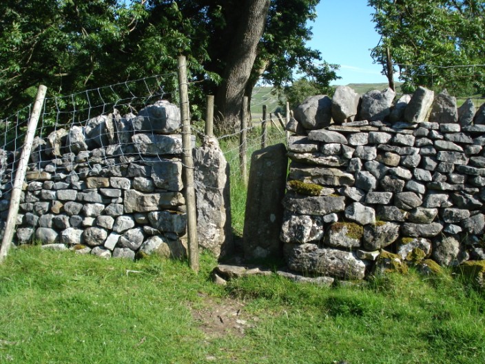
Is this squeeze stile wide enough?
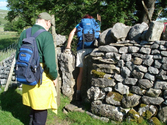
Mandy shows the way
An ideal end to the walk - sun and a soft grassy path