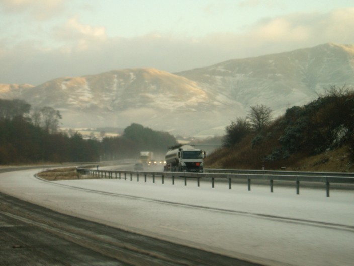
| Walk: | Bowderdale, Cautley Spout, Cautley Crag, Calders, The Calf, Hazelgill Knott, West Fell | ||
| Start Point: | Bowderdale | Grid Ref: | NY 677 046 |
| Distance: | 12.8 miles | Ascent: | 3,100 feet |
| Weather: | A dry but very cold day with a thin layer of snow | ||
| Accompanied by: |
Ray (leader) and 14 other members of the group |
||
| Comments: | Heading up the Bowderdale valley we climbed gradually on a sometimes muddy and rocky path. Eventually we crossed to the opposite side of the valley so that we could approach the top of the Cautley Spout waterfalls. It was then a fairly steep climb, partly stepped, to the tops of Cautley Spout Crags. By this time we could feel the strength of the wind that we had been sheltered from when we were in the valley. The views were great but it was too cold to spend much time admiring them. After walking above the crags we headed for Calders before making our way up to The Calf. From here we had a good view of the frost and snow covered fields to the south-west. The 'undulating' return route took us across Hazelgill Knott and West Fell before descending to join our outward path and into Bowderdale. | ||
Scroll down to see photos of the walk

There is a covering of snow on the M6 as we approach the Howgills . . .
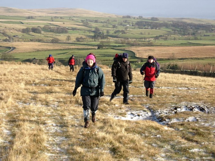
but the sun encourages us on our way as we leave Bowderdale . . .
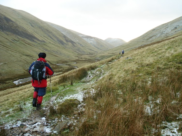
and make our way up the valley
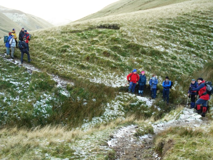
Some of the group seek shelter in the gully whilst the stragglers catch up . . .
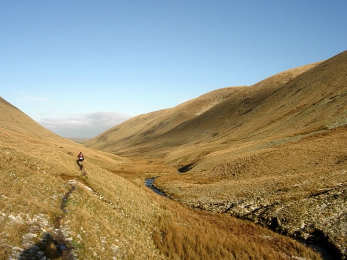
and the sun is still with us as we look back down the valley . . .
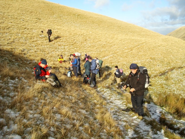
before finding a sheltered spot for a morning break
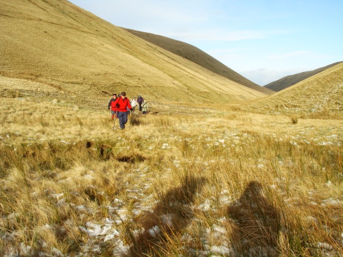
Crossing to the opposite side of the beck . . .
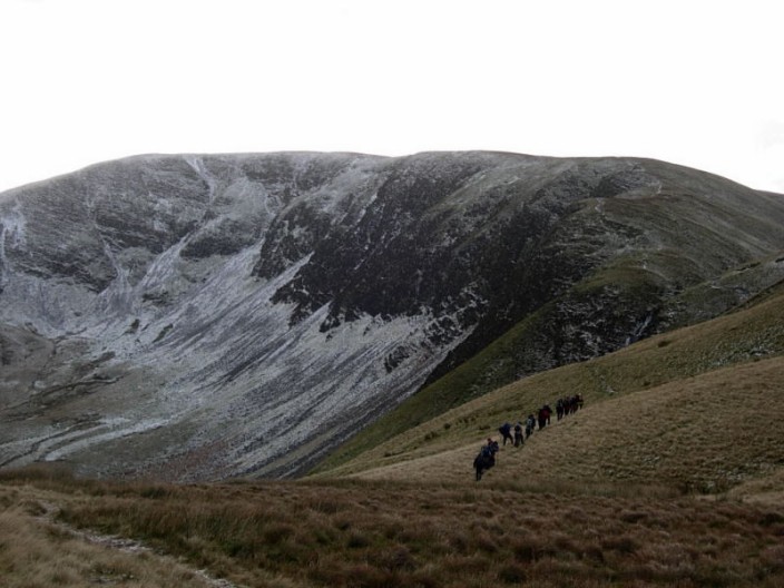
we start to make our way round to Cautley Spout which can just be seen to the right of the crags
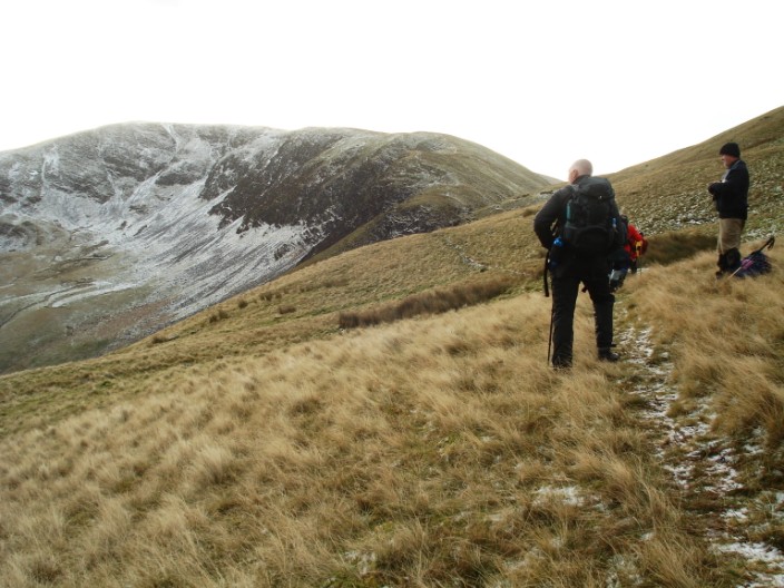
Gary and Keith pause for a photo . . .
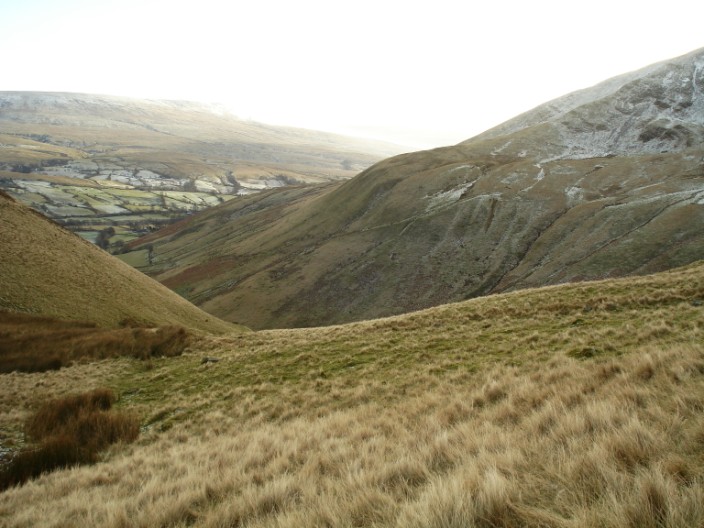
looking across towards West Baugh Fell
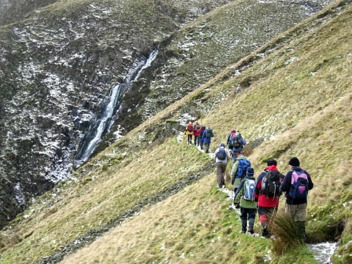
We begin to get a better view of Cautley Spout, one of the few cascade waterfalls in England . . .

and can see Cautley Holme Beck making its way to join the River Rawthey
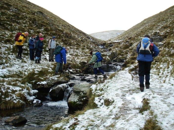
After crossing Red Gill Beck . . .
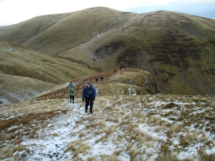
we are in for another climb . . .

to Cautley Crags
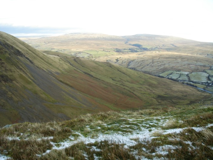
Baugh Fell opens up in the distance
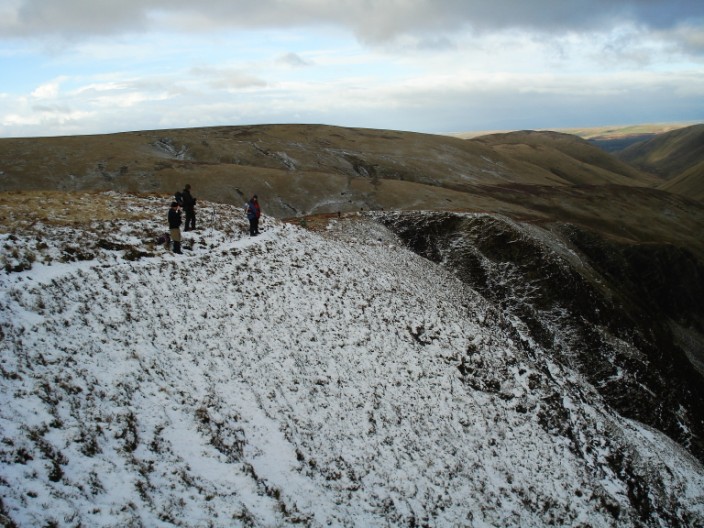
Mind your step now!
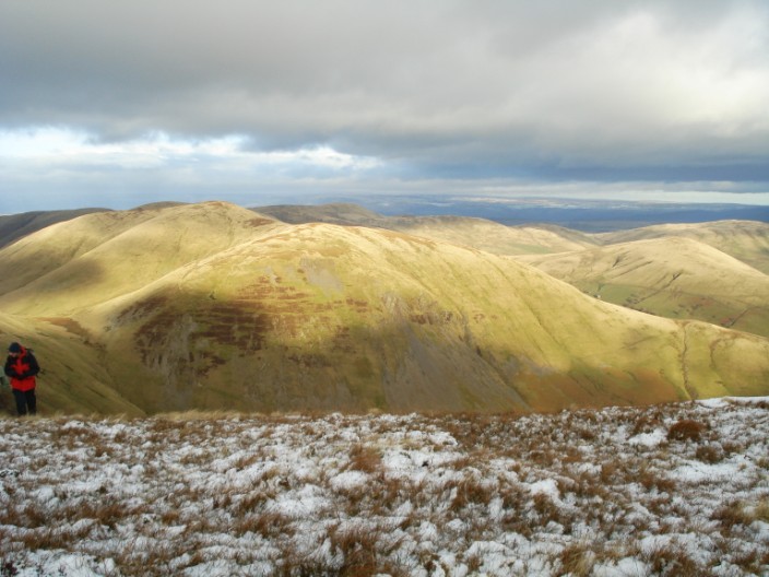
Continuing on our route we have a good view of the rolling nature of the Howgills . . .
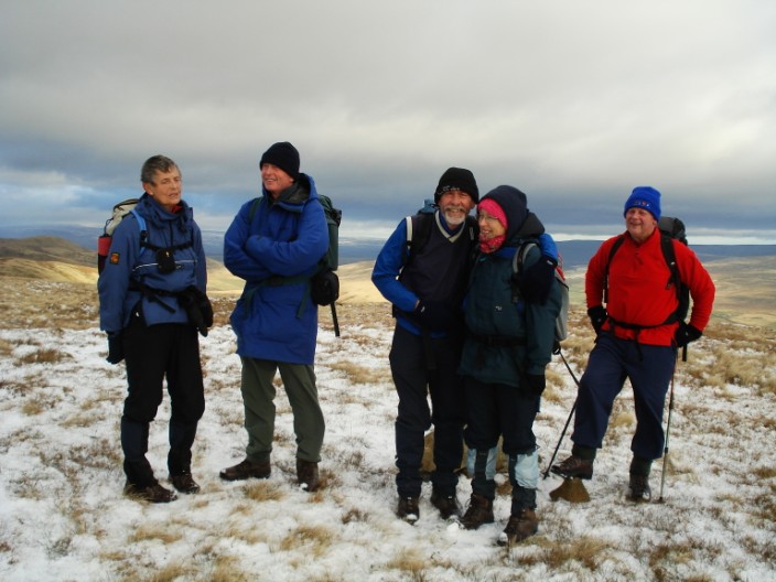
and Ian finds time for a quick cuddle on Great Dummacks
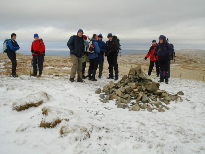
The group inspects the cairn on Calders
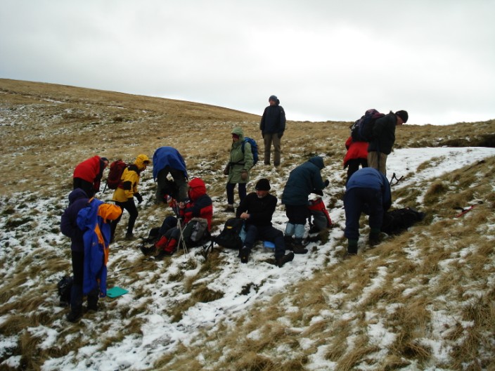
Not much shelter for lunch as we make our way to . . .

The Calf, the Howgills highest point . . .
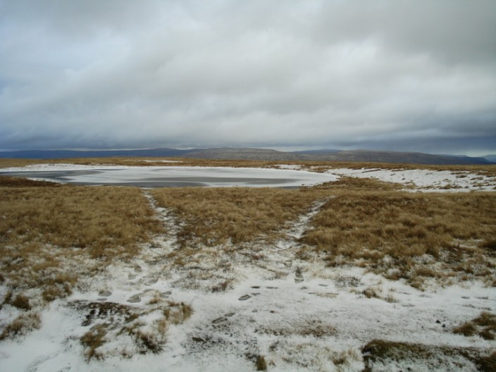
and its nearby frozen tarn . . .
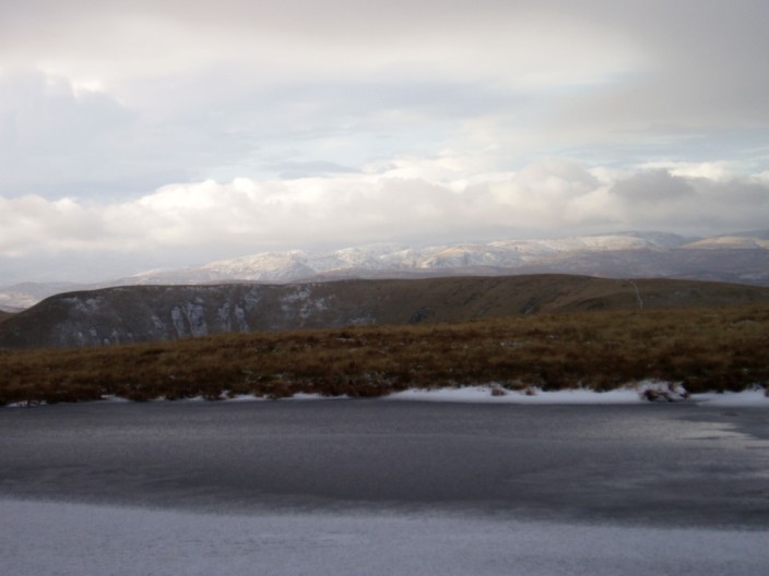
from where we can make out the Lakeland Fells
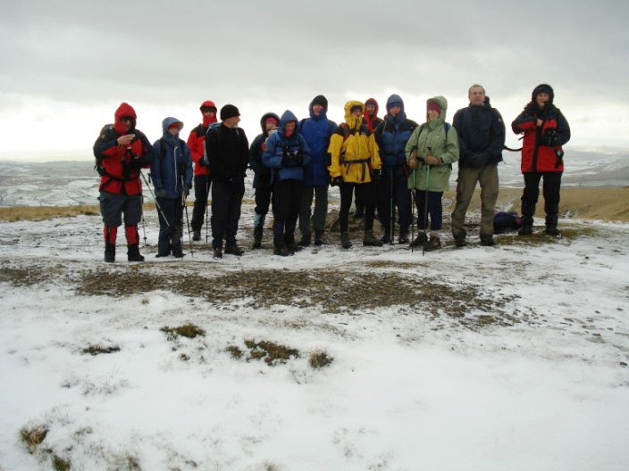
Time for a group shot before we leave . . .
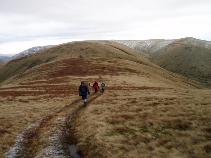
and make our way over Hazelgill Knott . . .
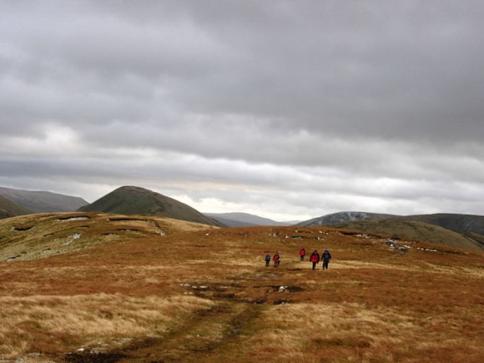
and West Fell before returning to the cars