| Walk: | Anglezarke car park, Lead Mines Clough, Higher Hempshaw's, Rivington Hall Barn, Great Barn, Yarrow Reservoir | ||
| Start Point: | Anglezarke car park | Grid Ref: | SD 620 160 |
| Distance: | 7 miles | Ascent: | 1,000 feet |
| Weather: | A little drizzle initially but mainly dry and overcast | ||
| Accompanied by: |
On my own |
||
| Comments: | The purpose of this walk was to check out the path above the bridge on Lead Mines Clough but it turned out to be too muddy and slippery to navigate after the recent heavy rains. After returning to the footbridge I walked on to Simms and followed the track that skirted round to Lower Hempshaw's. The more direct route had been almost impassable the last time I tried it. I then followed a path, crossing the River Yarrow in its early stage, to the road, and on to Rivington Hall Barn where I found a meeting of motorbikes! Returning via Rivington village I passed the Yarrow Reservoir where the outflow was in full force - the first time I have seen any water in it. | ||
Scroll down to see photos of the walk

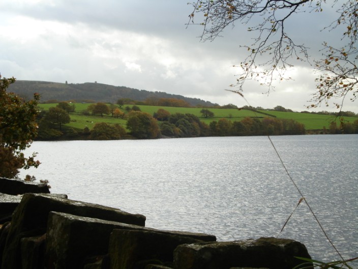
Rivington Pike on the right and the Pigeon Tower on the left from the Yarrow Reservoir
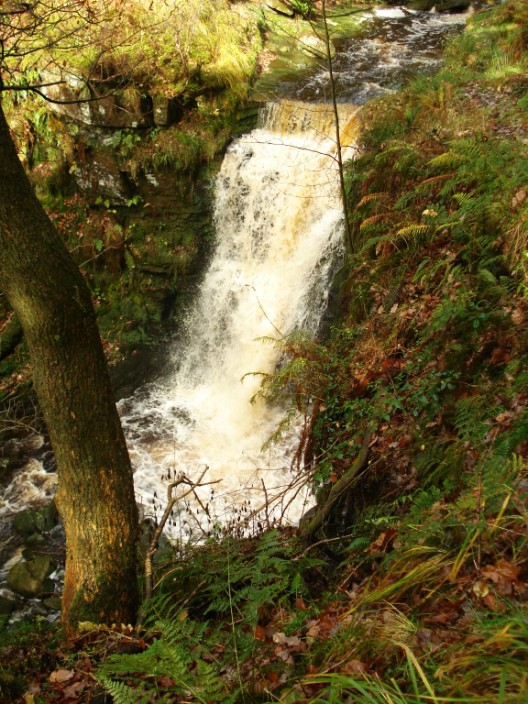
Exploring the upper reaches of Lead Mines Clough
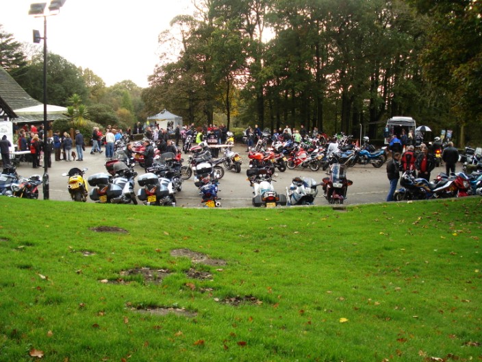
So this is what happens at . . .
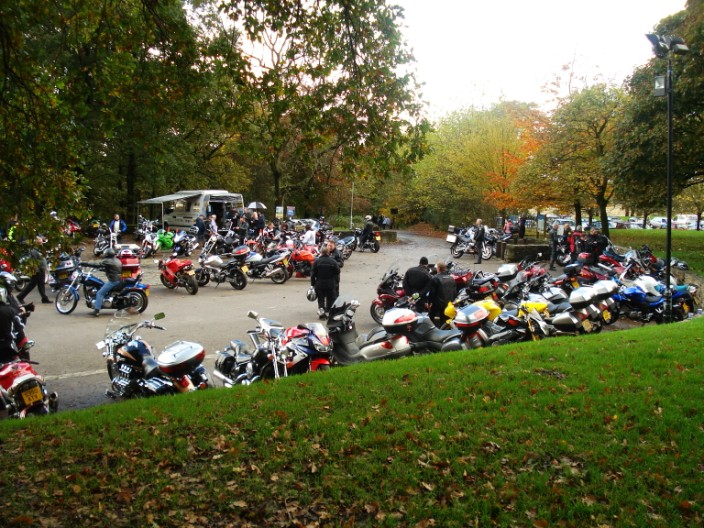
Rivington Hall Barn on a Sunday
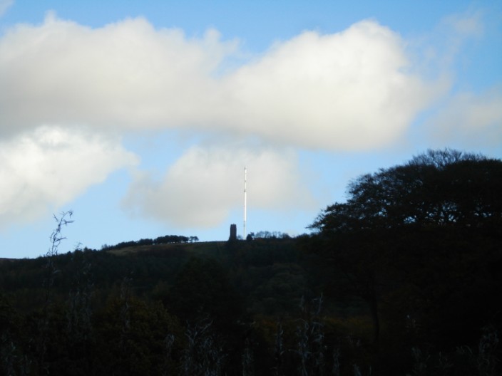
From the road the TV mast on Winter Hill looks as though it sits next to the Pigeon Tower though they are 1.3 miles apart!
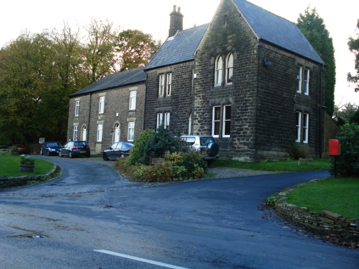
Rivington Village . . .
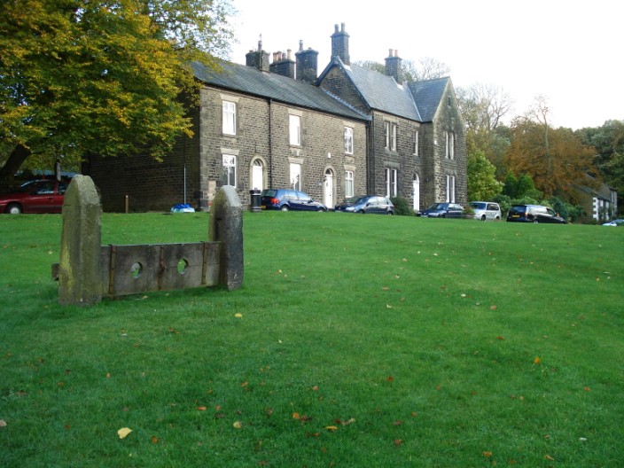
with its stocks

The outflow from The Yarrow Reservoir . . .
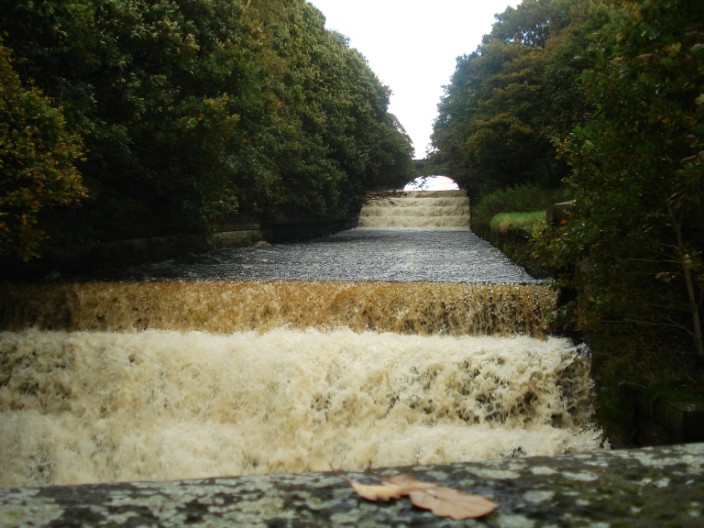
the first time I have seen any water in it