Wednesday, 20th May 2009
| Walk: | Langdale Valley, Loft Crag, Harrison Stickle, Pavey Ark, Thunacar Knott, High Raise, Sergeant Man, Blea Rigg | ||
| Start Point: | Elterwater | Grid Ref: | NY 329 051 |
| Distance: | 13 miles | Ascent: | 3,600 feet |
| Weather: | Cloudy with brief showers, sometimes heavy, clearing in the afternoon | ||
| Accompanied by: |
On my own |
||
| Comments: | When planning this walk I had intended catching the 9.17am bus from the Britannia Inn to the New Dungeon Ghyll Hotel. However, as I was quite early I decided to walk it, adding 3 miles to the route. There were some heavy showers on the way but the mist seemed to be clearing from the fell tops as I approached them. The first obstacle was crossing the fast flowing waters of Dungeon Ghyll. Wishing I had been better at long jumps I made it to the other side with dry feet. The next obstacle was the long, sometimes steep climb up to Loft Crag via Mark Gate. Quite a lot of work has been done on this path since I was last here and more of the steeper sections have now been stepped. An hour and a half, 1.4 miles and nearly 2,000 feet later saw me on Loft Crag making the most of a dry spell to take some photos. Luckily a passing walker obliged with the obligatory 'photo by the cairn'. Then it was on to Harrison Stickle and a decidedly turn for the worse in the weather so I quickly moved on to Pavey Ark. Here the weather improved somewhat and after a few photos I was on my way to Thunacar Knott. A huge rocky outcrop on the way was the perfect place for a spot of lunch. Moving on quickly to High Raise I marvelled yet again at this vast expanse of high fell that I love to explore. After a brief pause at the High Raise trig point I made my way across to Sergeant Man - a mere pimple in the landscape from this side. Balancing the camera and trying to get it pointing in the right direction for a photo of 'the cairn and me' was no easy task and the wind ensured that I had a few photos of the sky as well. I really must invest in a tripod for these expeditions!! After a pause for photos at Blea Rigg an inspection of the 'shelter stone' illustrated in AW's guide revealed that it has changed greatly since his day. | ||
Scroll down to see photos of the walk
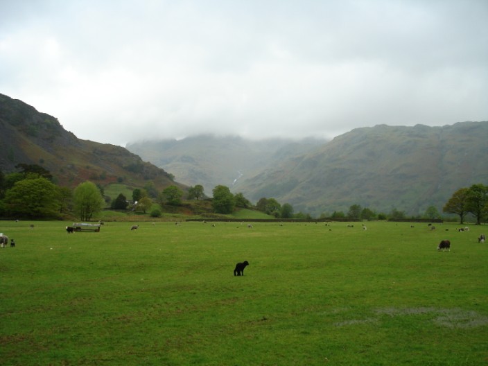
Walking along the Great Langdale Valley mist covers Loft Crag and Harrison Stickle as they come into view . . .
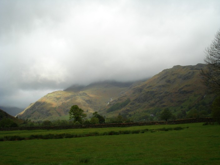
but a patch of sunlight on Raven Crag could be a good sign!
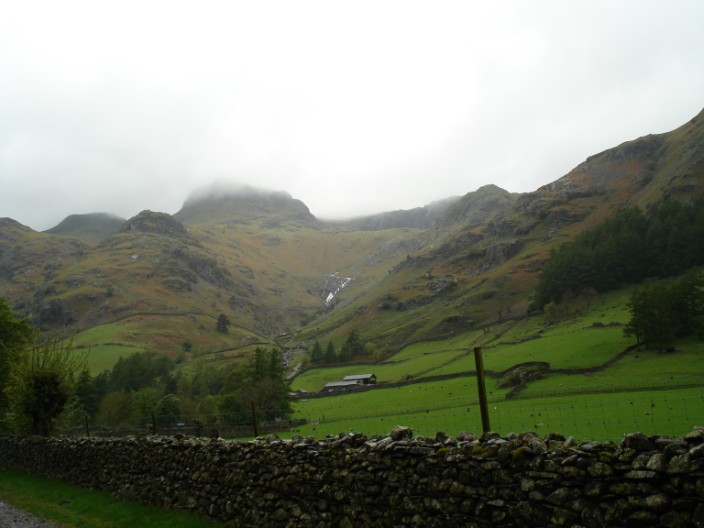
With all the rain we've had recently Stickle Ghyll should be putting on a good show . . .
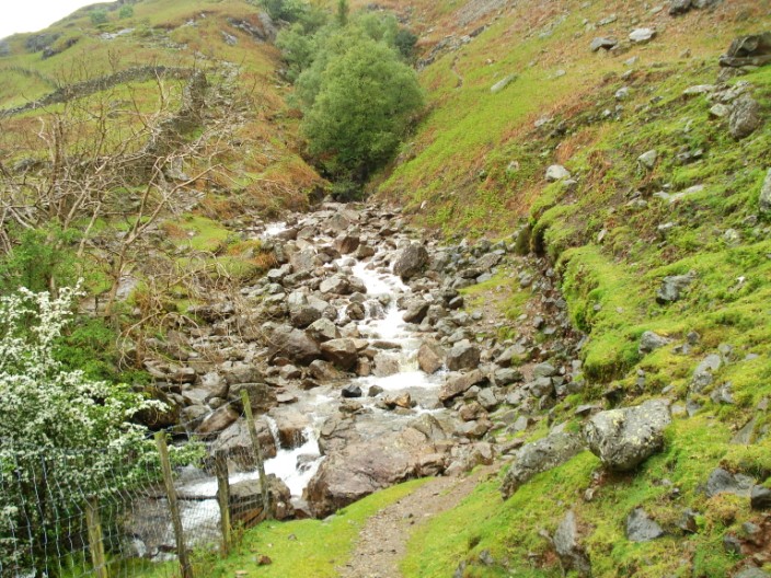
as is Dungeon Ghyll - which I have to cross
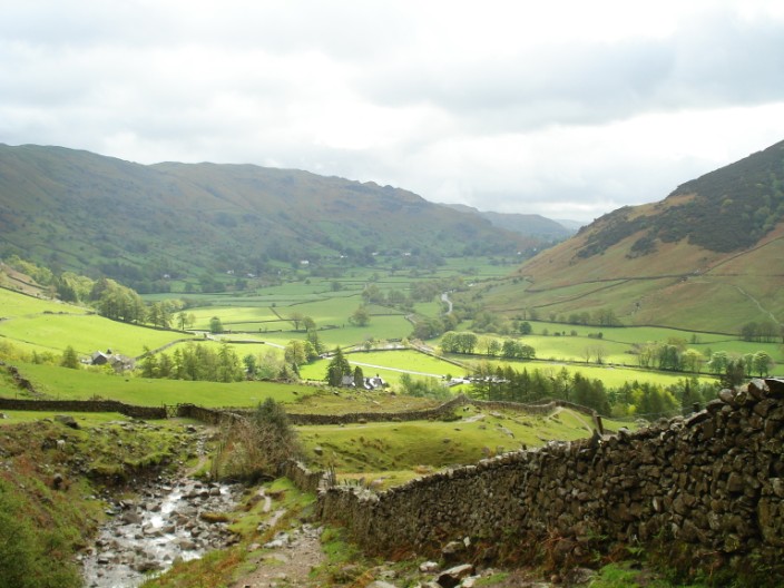
Looking back down the Langdale Valley and a brief glimpse of the sun
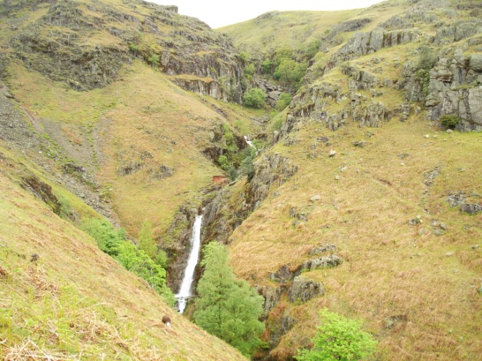
The Dungeon Ghyll waterfall is quite impressive today
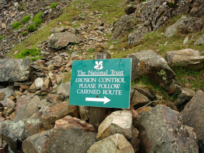
Now I wonder where the first cairn is?
This is where the arrow points to but where is the cairn?
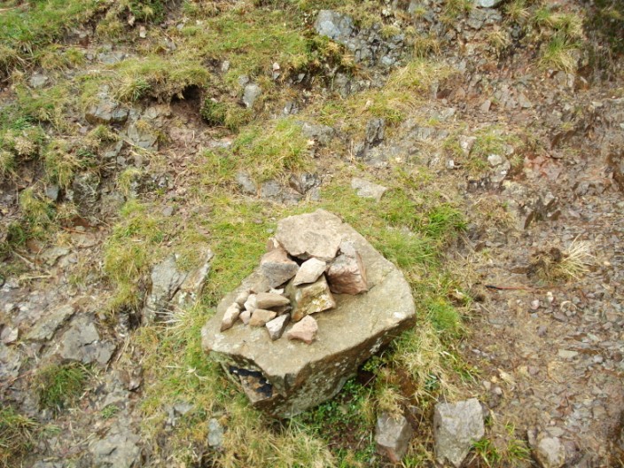
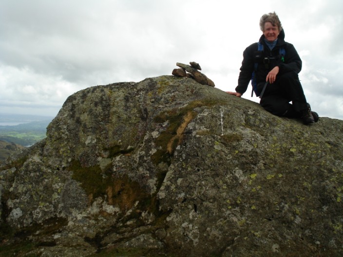
Found it!!!
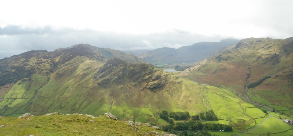
Lingmoor Fell on the left with Side Pike in the centre and Blea Tarn just in view
From higher up the sun's rays highlight Blea Tarn
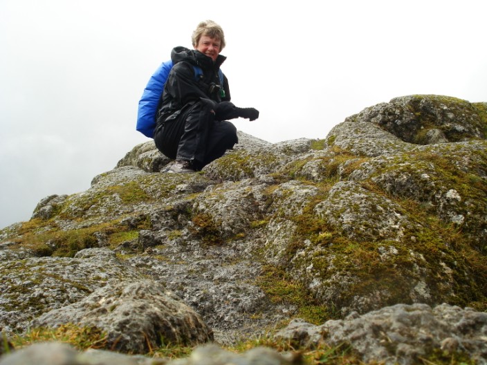
Looking a bit windblown on Loft Crag, with Pike o' Stickle about to disappear in the mist
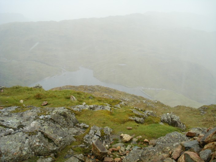
En route to Harrison Stickle, Stickle Tarn can only just be seen in the mist
A quick photo in the rain on Harrison Stickle
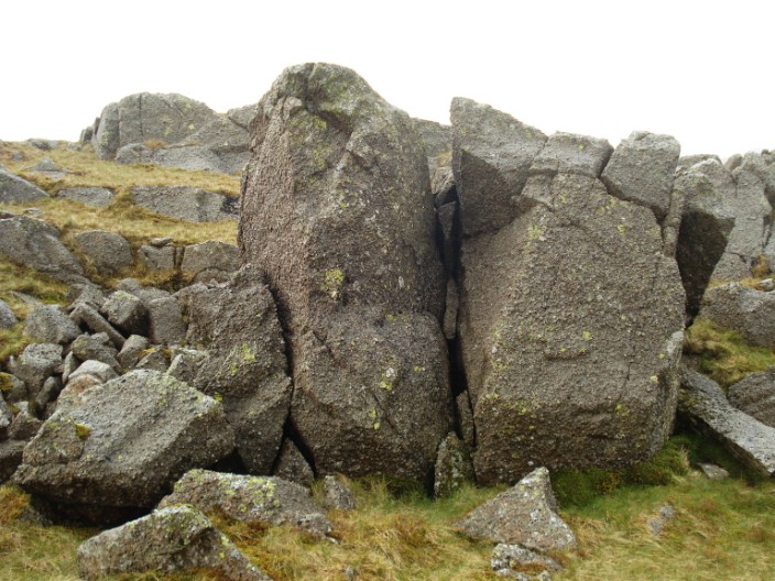
A couple of interesting rocks on the way to Pavey Ark
Harrison Stickle from Pavey Ark
Pavey Ark - and a balancing act with the camera
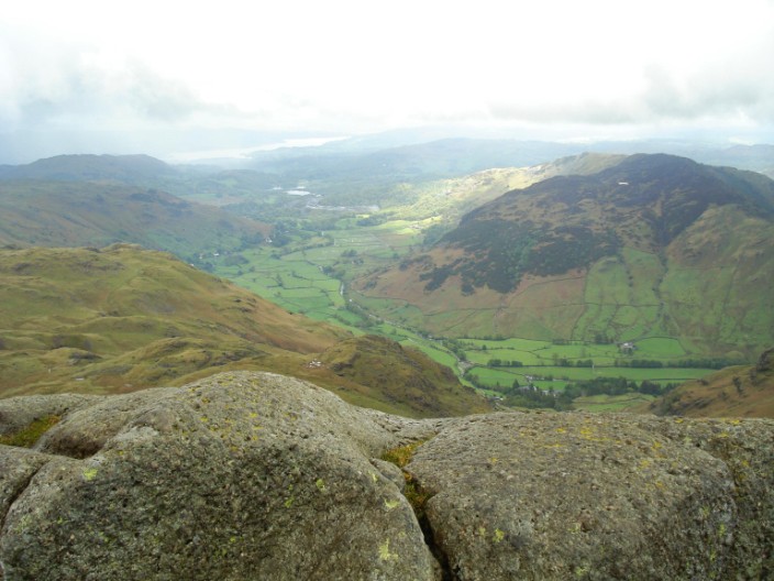
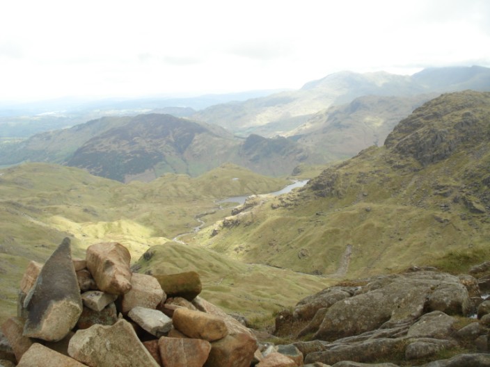
The Langdale Valley and Windermere from Pavey Ark
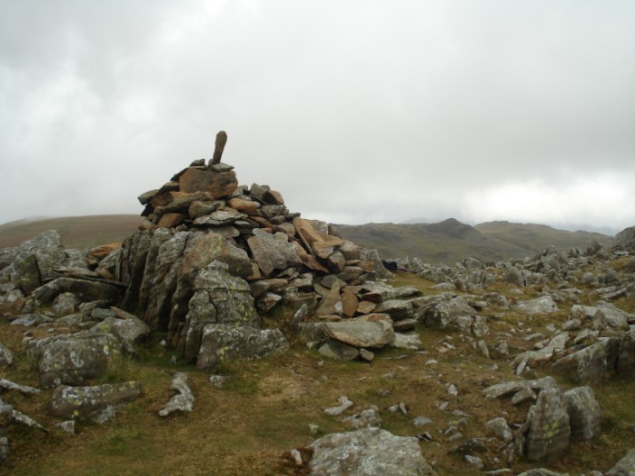
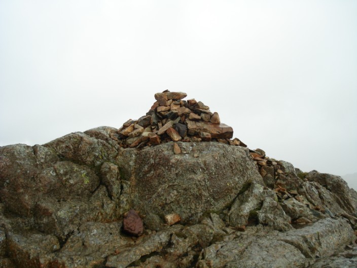
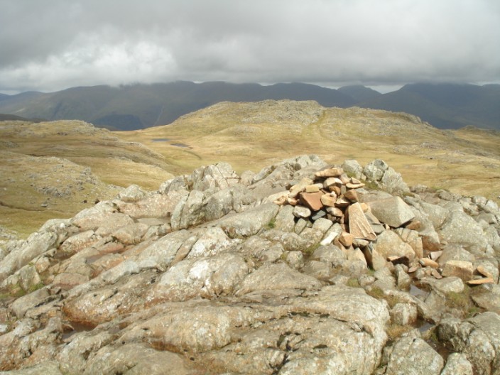
It looks like someone has been adding to the cairn on Thunacar Knott since I was last here . . .
Oops! the camera wasn't pointing in the right direction - but too wet to try again!

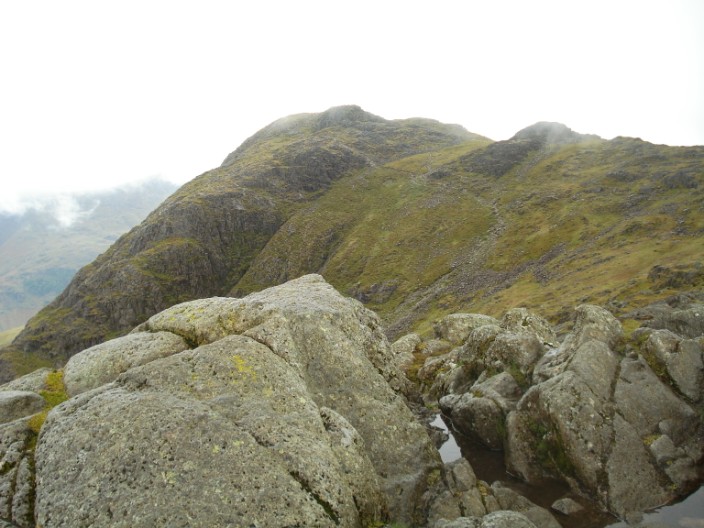
Sergeant Man is recognisable from many directions . . .
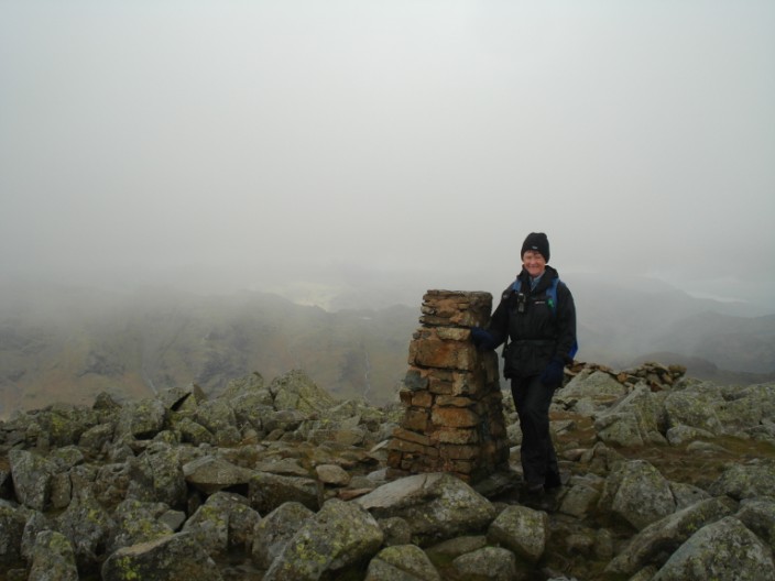
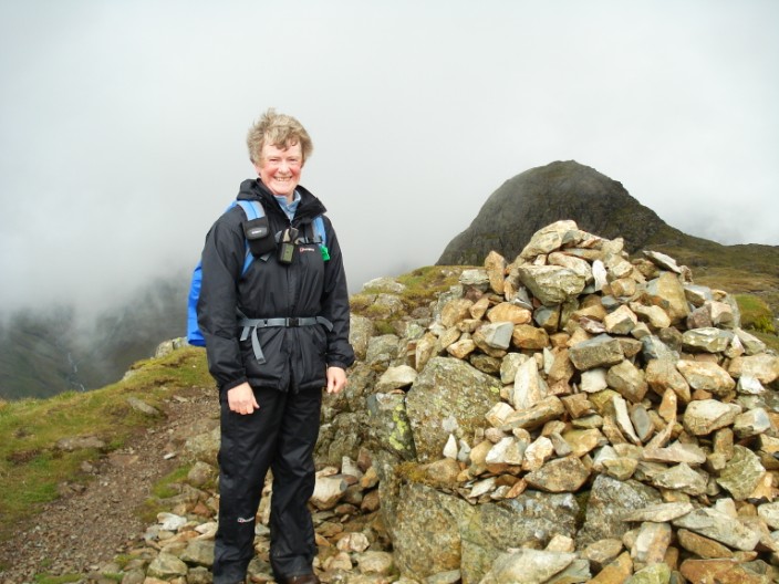
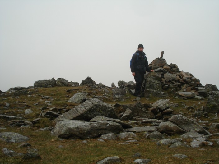
and a passing walker helps out with a photo on High Raise . . .
and after she has gone the mist clears - a little!
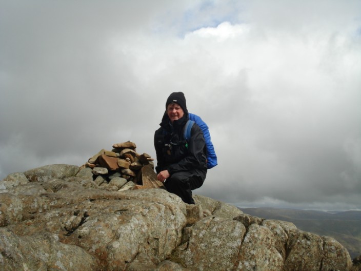
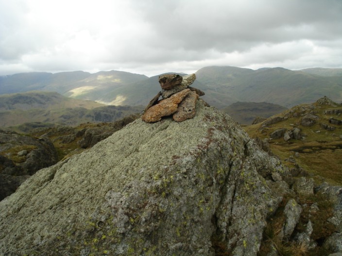
A lonely Sergeant Man - and it's back to the balancing act - the camera, not me!
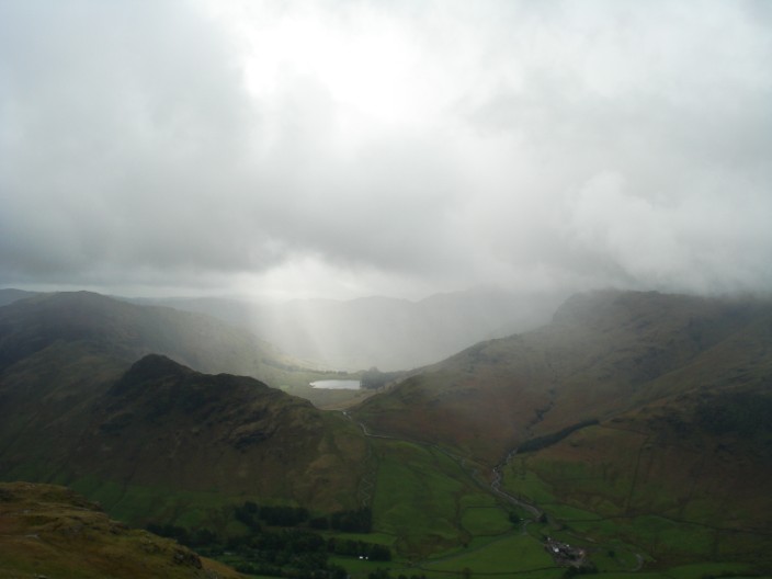
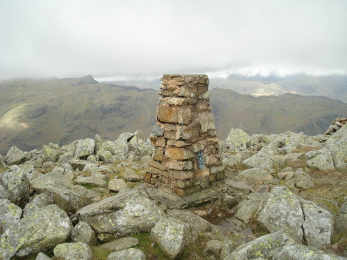
From here the cloud base seems to be just touching Helvellyn and Fairfield . . .
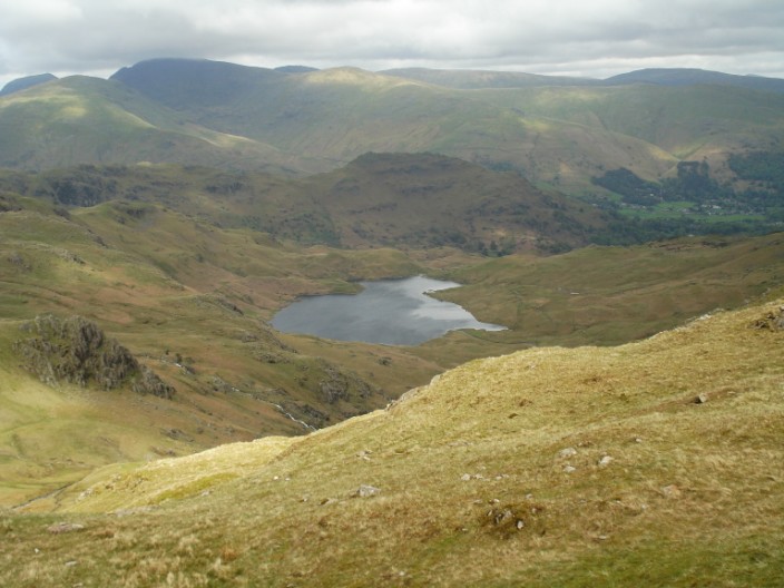
but there is a clearer view down to Stickle Tarn . . .
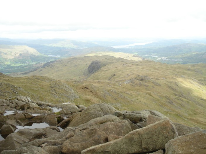
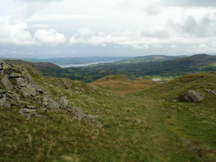
and along the ridge where my return route lies - with Windermere in the distance

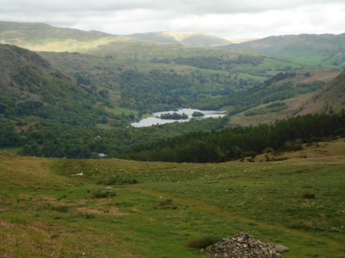
With the Easedale Valley on the left there is a good view of Codale Tarn . . .
and Easedale Tarn
Blea Rigg with the Helvellyn massif to its left and Fairfield to its right
And it's a quick scramble up the rocks before the 10 seconds are up!
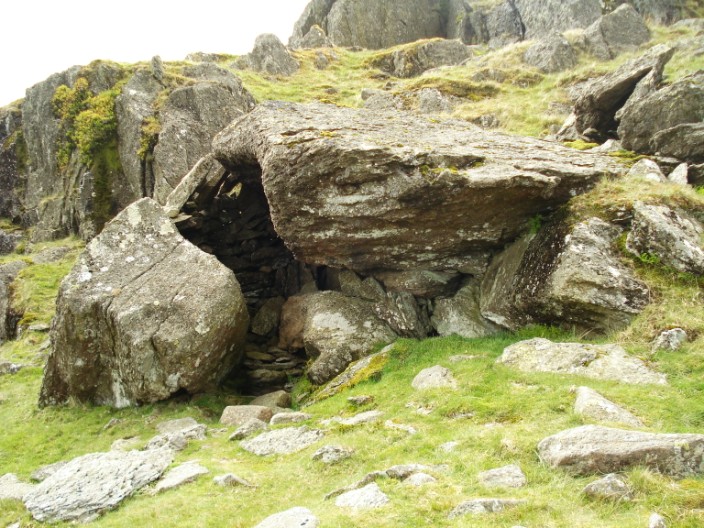
The stone shelter below Blea Rigg . . .
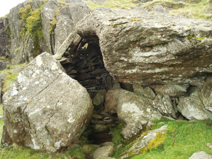
but I'm not so sure I'd like to spend time in there!
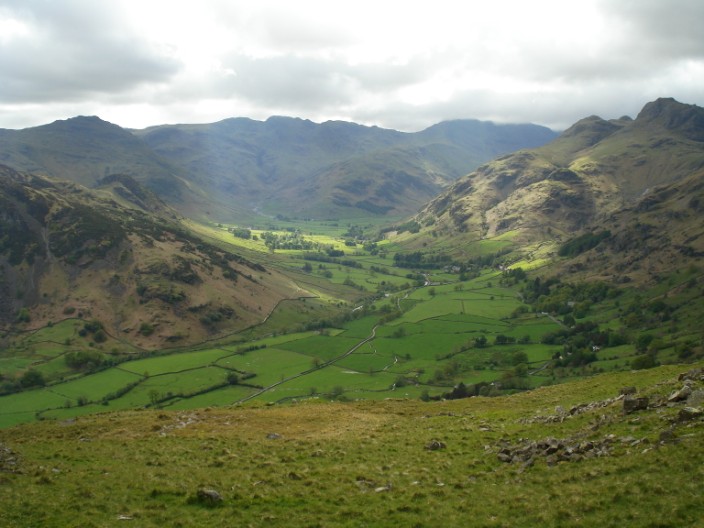
The Langdale Valley with, from the left, Pike o' Blisco, Crinkle Crags, Bow Fell (in mist), Loft Crag and Harrison Stickle
Nearing the end of the walk - Windermere is much closer now . . .
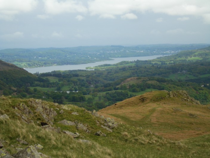
especially if I use the zoom!
Over to the left of the route Rydal Water comes into view
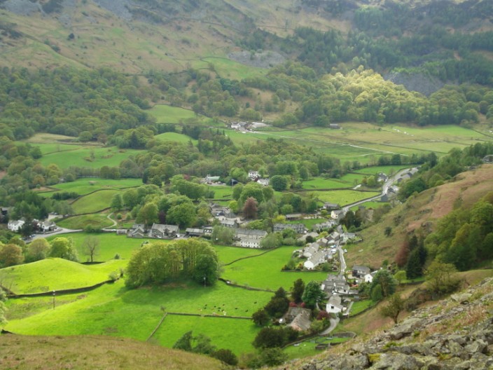
An 'aerial' view of Chapel Stile