Thursday, 26th February 2009
| Walk: | Jepson's Gate, Pikestones, Lead Mines Clough, Parson's Bullough, Jepson's Farm | ||
| Start Point: | Lay-by overlooking Anglezarke Reservoir | Grid Ref: | SD 620 164 |
| Distance: | 4 miles | Ascent: | 750 feet |
| Weather: | A dry but overcast day with a cold wind | ||
| Accompanied by: |
On my own |
||
| Comments: | For some time I have been thinking of going to look for the Pikestones on Anglezarke Moor. The Pikestones, now in ruins, was once an impressive construction which featured five upright large stone slabs capped by two lintel slabs to form a burial chamber at one end of a long mound of earth and stones. By late morning I decided to do a short walk to see if I could locate the stones. I certainly found an area with lots of stones but nothing that looked of specific importance. Looks like I will have to have go back armed with more information! I completed the walk by heading down to Lead Mines Clough, walking through the woodland to the monument, then back to the car via Jepson's farm. | ||
Scroll down to see photos of the walk
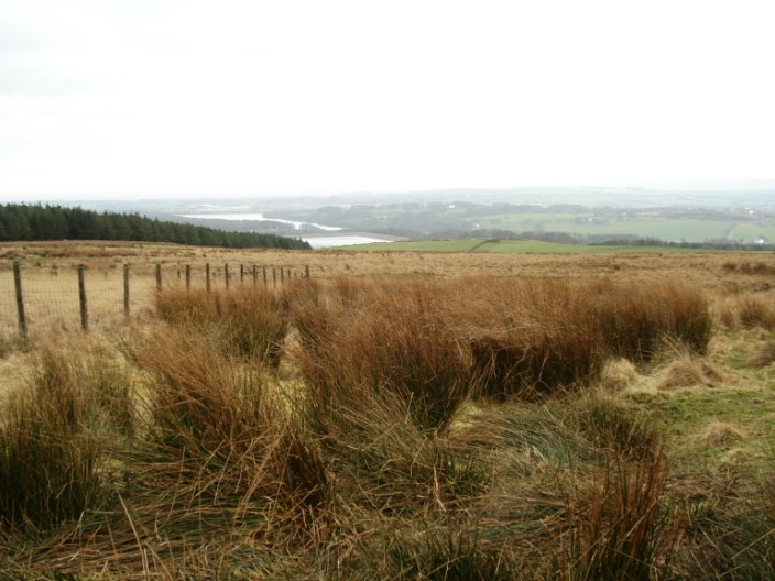
Heading up Anglezarke Moor, Yarrow and Rivington Reservoirs come into view

One of the larger stones I found in the vicinity of the Pikestones
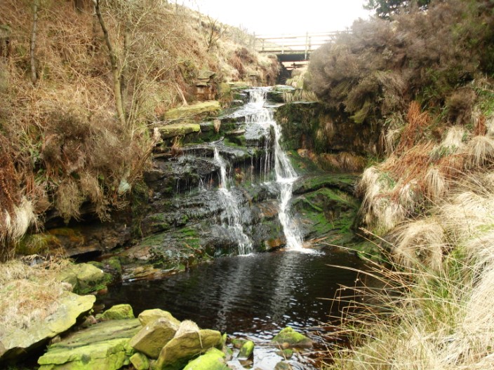
The bridge at the top of Lead Mines Clough . . .
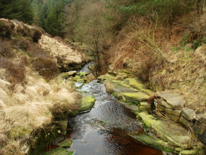
and looking down from the bridge

The monument in memory of . . .
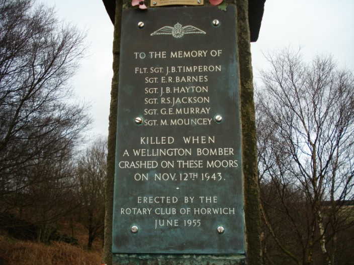
the people who were killed when a Wellington bomber crashed
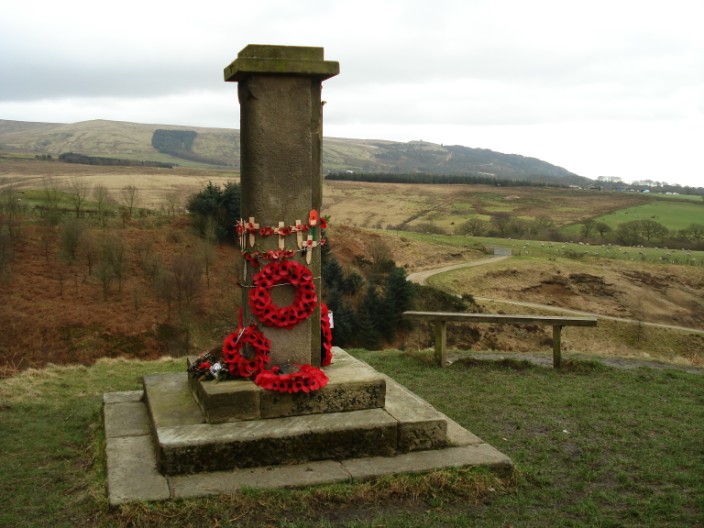
Rivington Pike and the Pigeon Tower can just be seen on the horizon
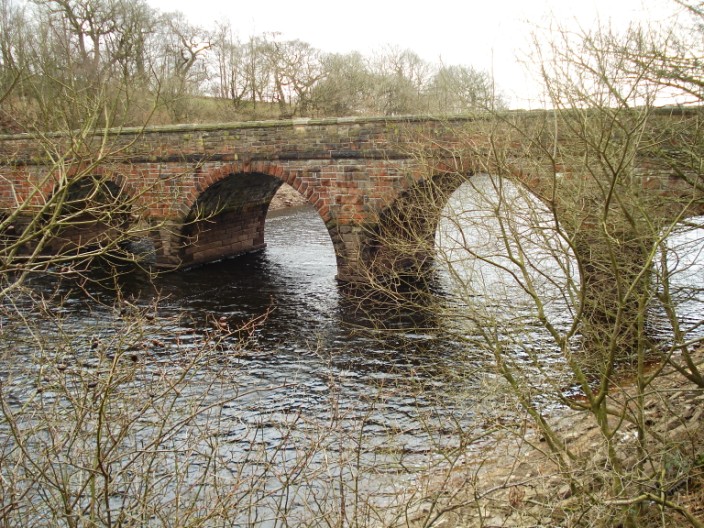
Alance Bridge spanning inlet to Yarrow Reservoir
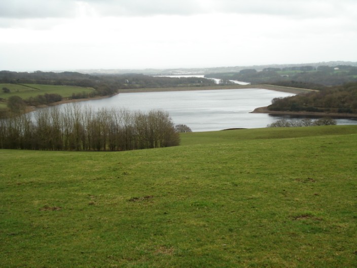
Yarrow and Rivington Reservoirs, seen from higher up at the beginning of the walk