Wednesday, 3rd June 2009
| Walk: | Wolfen Hall, Saddle Fell, Wolf Fell, Fiendsdale Head, Fair Snape Fell, Parlick, Fell Foot | ||
| ,Start Point: | Lane to Fell Foot | Grid Ref: | SD 601 442 |
| Distance: | 8.6 miles | Ascent: | 1,550 feet |
| Weather: | Mainly cloudy brightening up towards the end of the walk | ||
| Accompanied by: |
On my own |
||
| Comments: | I had been planning to do this walk for some time as it was a long time since I had done it. As we had had a few dry and hot days I thought it would be an ideal day to enable me to avoid any boggy ground. This turned out to be the case and there were only a couple of boggy sections between Wolf Fell and Fiendsdale Head. These were avoided on the way back by using the path on the opposite side of the fence, i.e. on the left of the fence as you look at the map. There were some good views as far as Morecambe Bay but these were too hazy for photographs. | ||
Scroll down to see photos of the walk
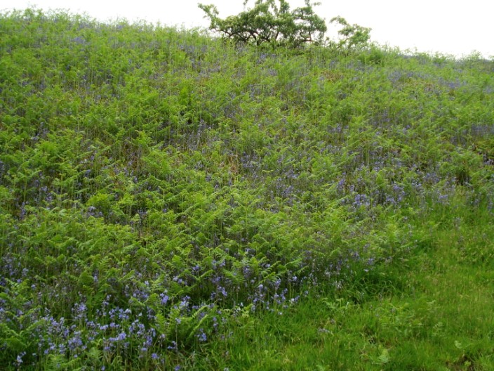
Crossing Chipping Brook the bluebells fight with the bracken . . .
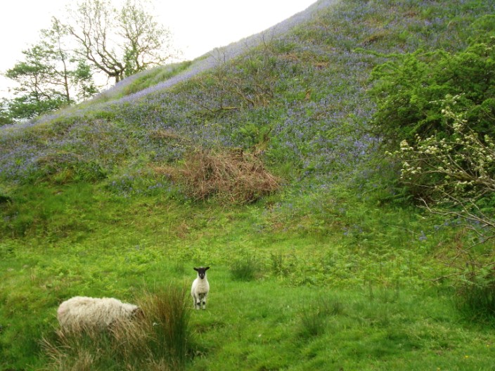
and add colour to the banks of the stream

A good grassy path leads up towards Saddle Fell . . .

and gives a view over to Parlick
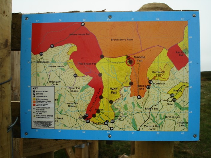
Entering the Open Access area
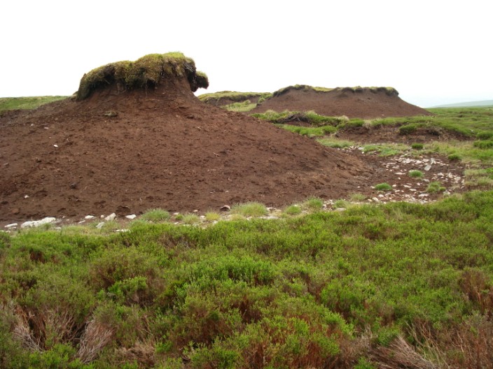
Peat tors on Wolf Fell show the extent of erosion in this area
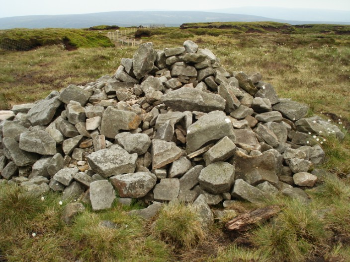
The cairn at the highest point on Fair Snape Fell . . .
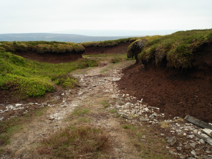
leads on to a path through the peat hags on the way to . . .
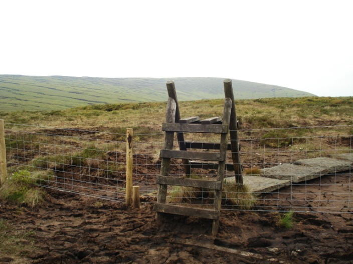
Fiendsdale Head - Parlick in on the skyline in the centre of the stile

The trig point and cairn on Fair Snape Fell
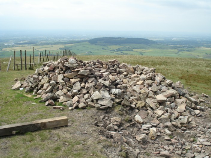
A wind shelter on Parlick . . .

whilst at the other side of the fence . . .
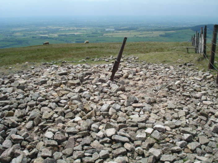
we find the cairn - somewhat flattened!
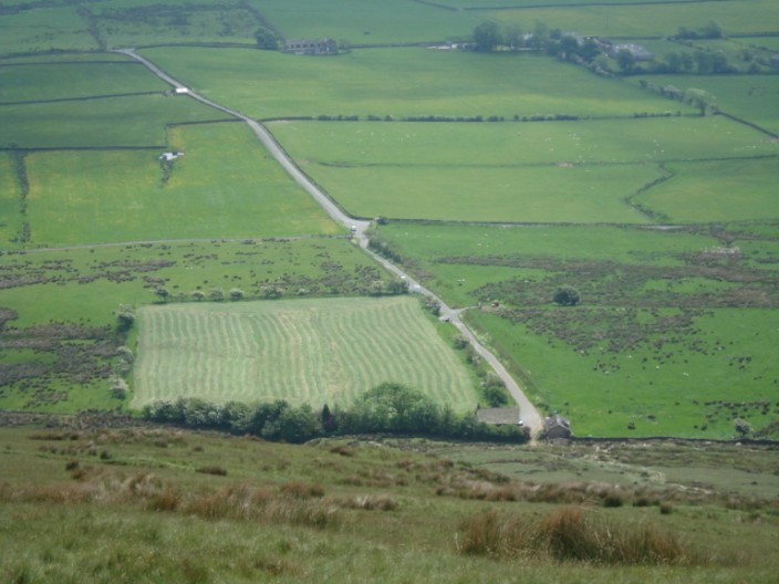
Zooming in on Fell Foot and the car at the end of the road on the descent from Parlick
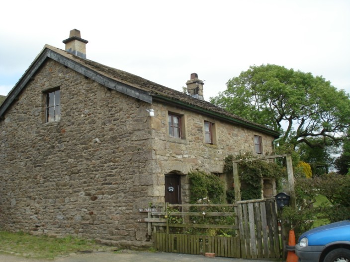
Fell Foot
Return to 2009 Diary Return to top