Sunday, 5th April 2009
| Walk: | Sadgill, Great Howe, Grey Crag, Tarn Crag, Brownhowe Bottom, Longsleddale | ||
| Start Point: | Sadgill | Grid Ref: | NY 483 057 |
| Distance: | 6 miles | Ascent: | 2,120 feet |
| Weather: | Cold initially, especially at higher levels, but sunny and warmer on the return route | ||
| Accompanied by: |
Joseph and Beth |
||
| Comments: | The initial climb is steep and it took some time to reach Great Howe. It was then a steady walk to Sleddale Fell and a gentler climb up to Grey Crag. After navigating the peat bogs as we crossed Greycrag Tarn (which is just a boggy area!) we stopped in the shelter of some rocks to eat lunch. By this time it was getting quite cold and extra layers were needed. As Tarn Crag was the last summit spirits were high as we descended to Brownhowe Bottom. On the return path down Longsleddale, waterfalls provided a distraction from the rocky path and a few stones found their way from the path into the waters of the River Sprint! | ||
Scroll down to see photos of the walk
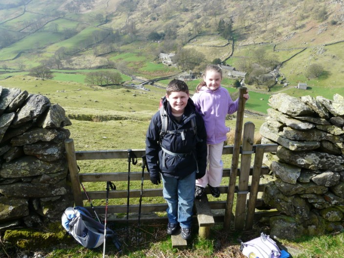
Pausing at the top of the first climb, the car can just be seen near the bridge
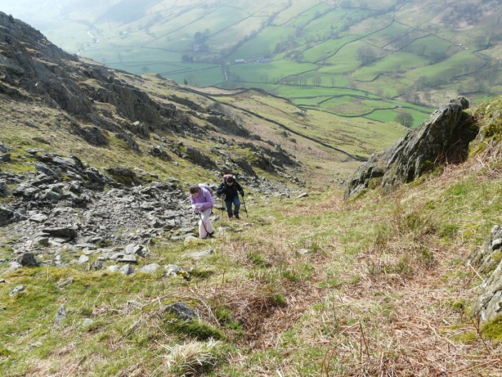
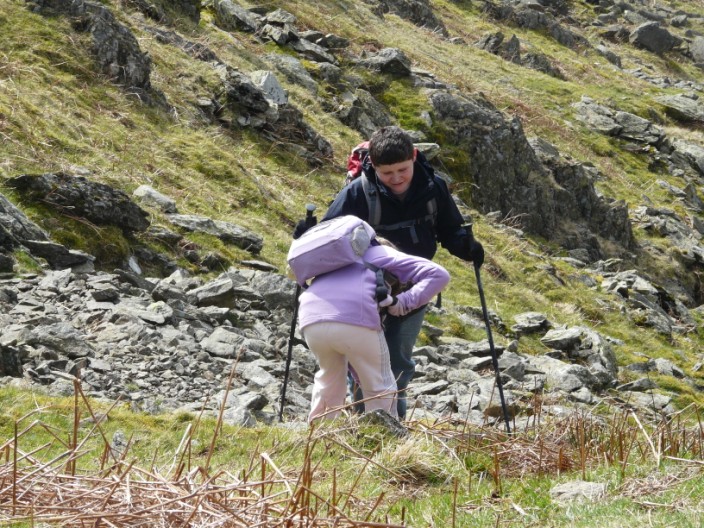
Making our way up the next part of the climb . . .
Beth checks out some of the rocks
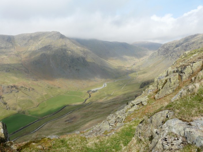
Longsleddale - our return path
Time for a morning break in the sun
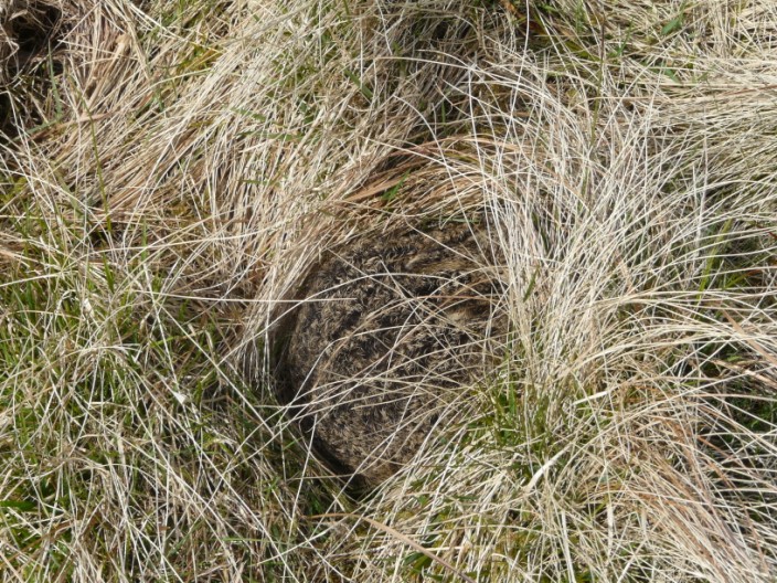
Beth spots a rabbit that seems to be hibernating?
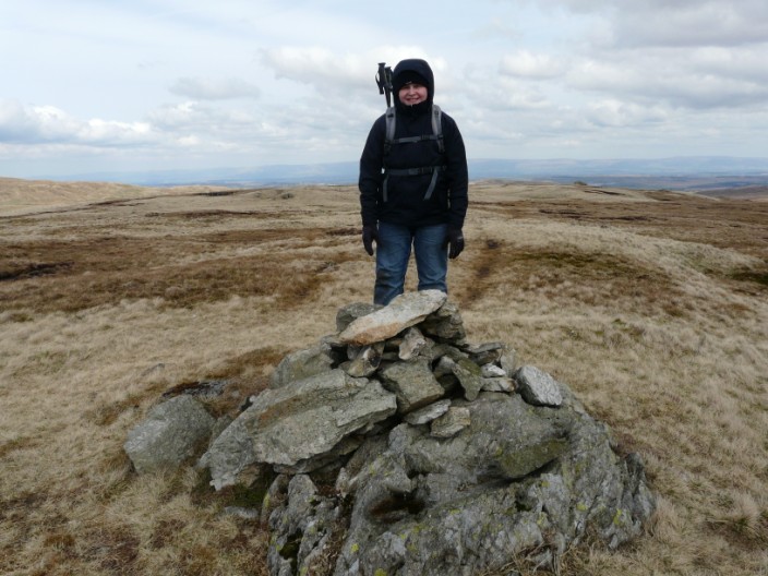
Great Howe
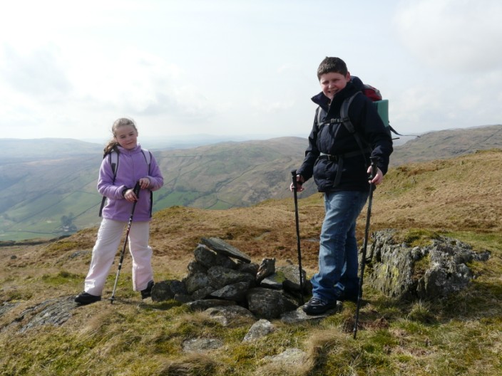
Grey Crag - wake up Beth!
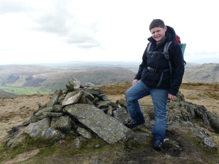
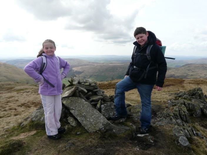
Mountaineer Joseph . . .
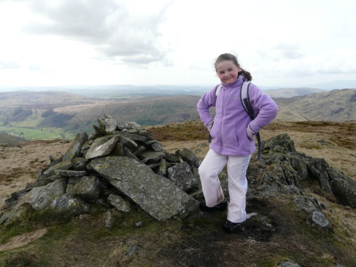
and a very pleased Beth
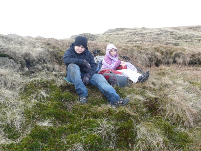
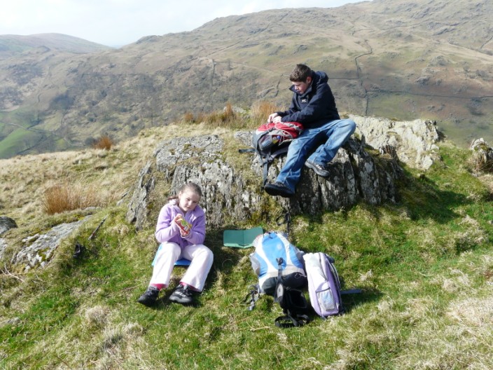
We managed to find some shelter from the wind for a lunch stop - but it was still cold!
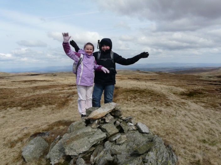
Tarn Crag . . .
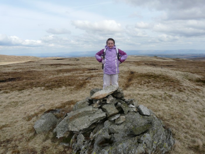
the second . . .
and last Wainwright of the day
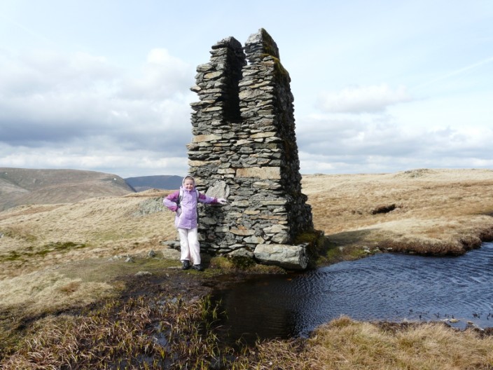
The pillar on Tarn Crag . . .
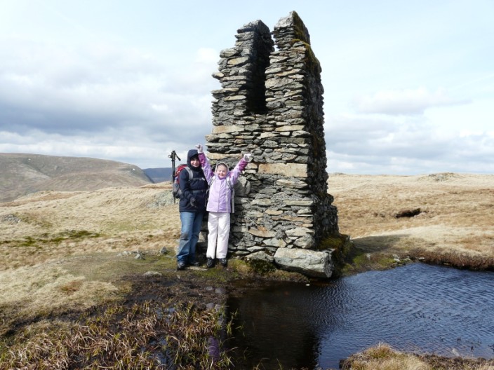
erected by the Water Board
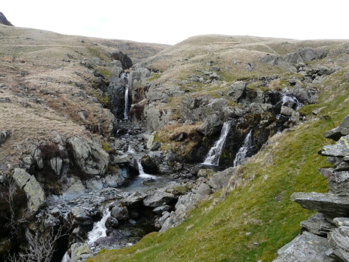
Waterfall on the River Sprint . . .
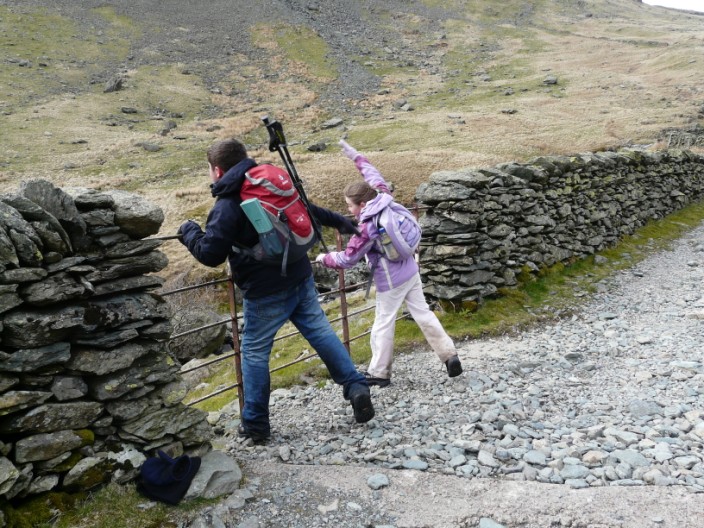
encouraged some stone throwing practice . . .
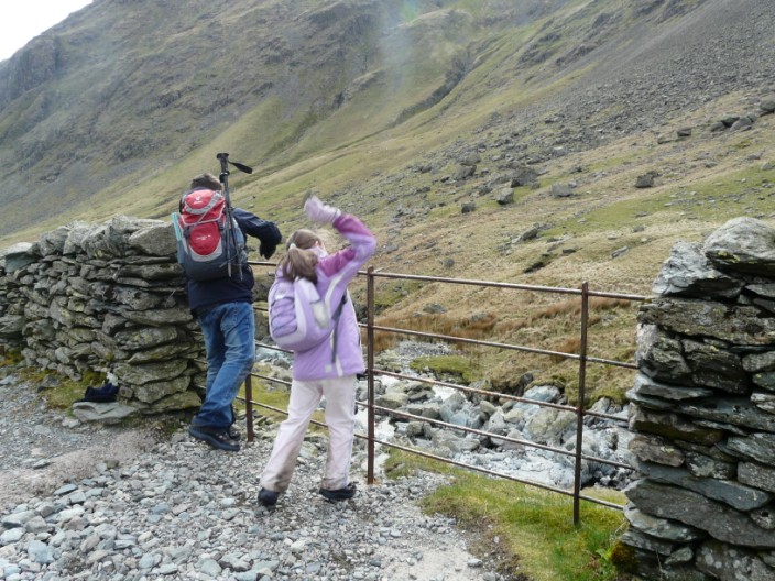
as we walked down the long, stony Longsleddale path