Sunday, 28th March 2010
| Walk: | Hartsop, Brock Crags, Angletarn Pikes, Satura Crag, Rest Dodd, Hayeswater Gill | ||
| Start Point: | Hartsop | Grid Ref: | NY 410 130 |
| Distance: | 6 miles | Ascent: | 3,800 feet |
| Weather: | A very strong wind with a considerable chill factor | ||
| Accompanied by: |
On my own |
||
| Comments: | This walk was partly to check out part of the route for the next walk I will be leading for the group, and also preparation for my holiday when I will be doing a lot of climbing in relatively short distances. After completing the climb across the first zig-zag, I decided to take a route straight up the side of the slope to Brock Crags. This turned out to be a climb of nearly 1,000 feet in half a mile! From Brock Crags I followed a footpath, not marked on the map, to the west of Angle Tarn. This was an easy route to follow and brought me out quite close to the foot of the climb to the southerly of the two Angletarn Pikes. From here I followed the usual route to the northerly summit - also the Wainwright. The wind was so strong at this point that it was difficult to stand. I then followed a path down to the main path to Satura Crag. I then took the gradual path to the summit of Rest Dodd, before descending towards The Knott. At this point, with a very strong wind making walking more difficult, and a very strong wind chill factor, I decided not to cloimb to Rampsgill Head as planned. I dropped down to Hayeswater Gill and followed this back to the car in time to head for Ambleside, and some Retail Therapy! | ||
Scroll down to see photos of the walk
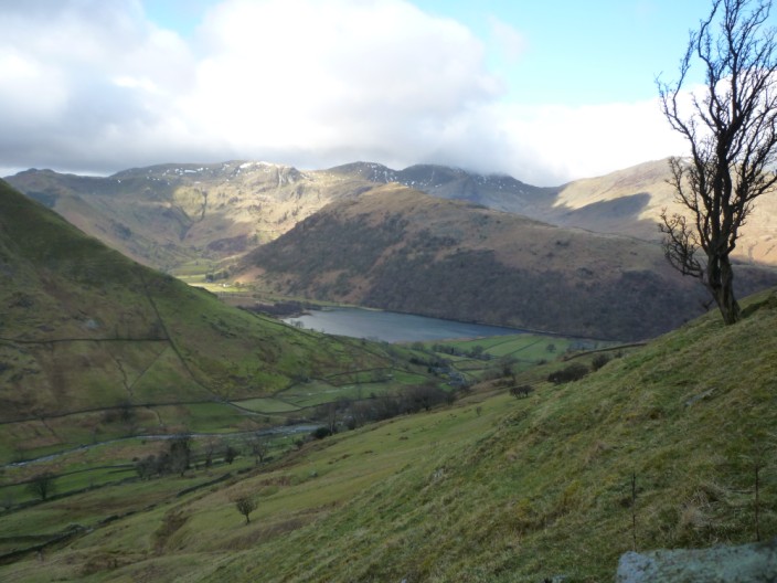
Having decided to take the steep route directly up to Brock Crags, it is time for a pause to take in the views of Brothers Water, Hartsop Above How and Fairfield in mist
Time for another breather and another view up Pasture Beck . . .
and looking across the slope of the climb to Hayeswater Gill, High Street and Gray Crag
A little higher still and Hartsop Dodd can be seen on the left with one arm of the Fairfield Horseshoe horizon to the right
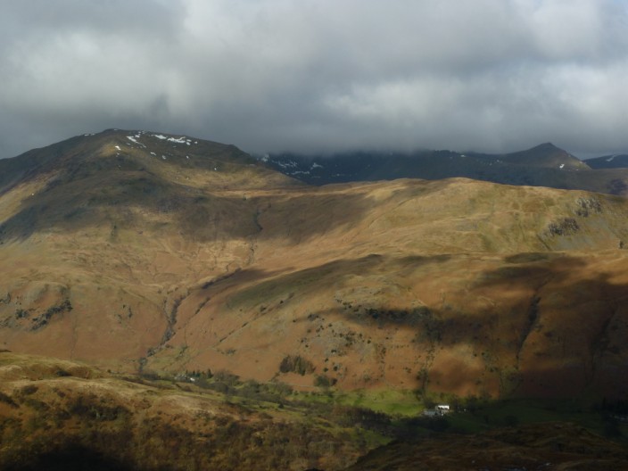
Finally on Brock Crags, Helvellyn hides in the mist with Catstye Cam to the right and St Sunday Crag on the left
There is still some snow on the slopes of High Street . . .
and the sun is shining on Glenridding and Sheffield Pike
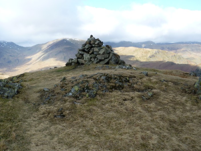
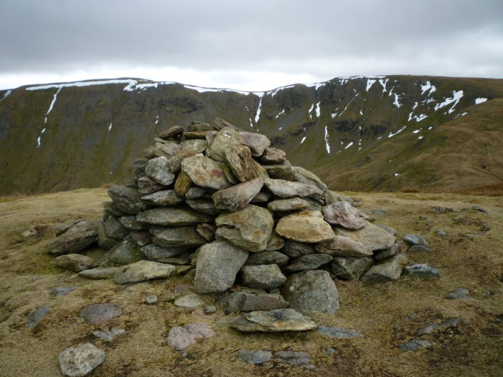
A very windy Brock Crags summit . . .

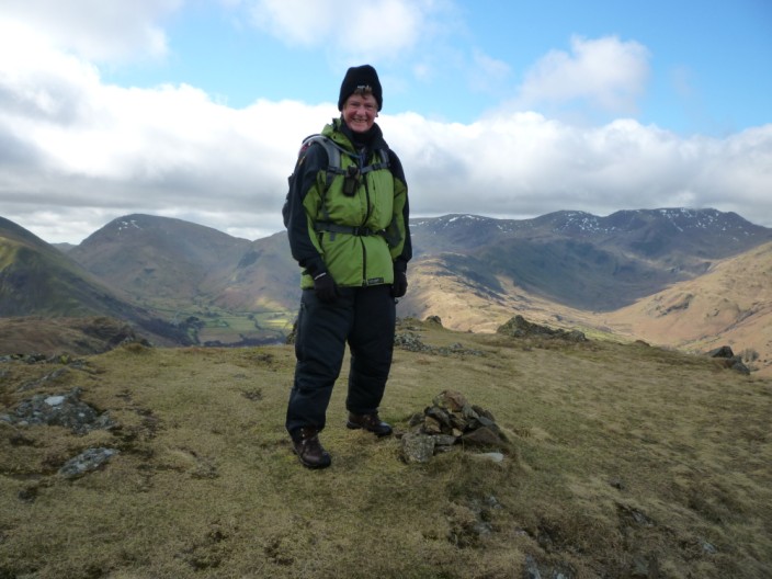
but I manage to keep the camera still for this timed photo
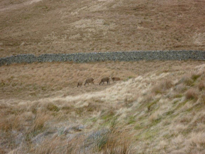
Heading along the unmarked path to the west of Angletarn I am lucky enough to spot a few deer . . .
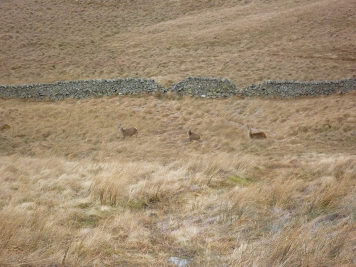
but the soon spot me . . .
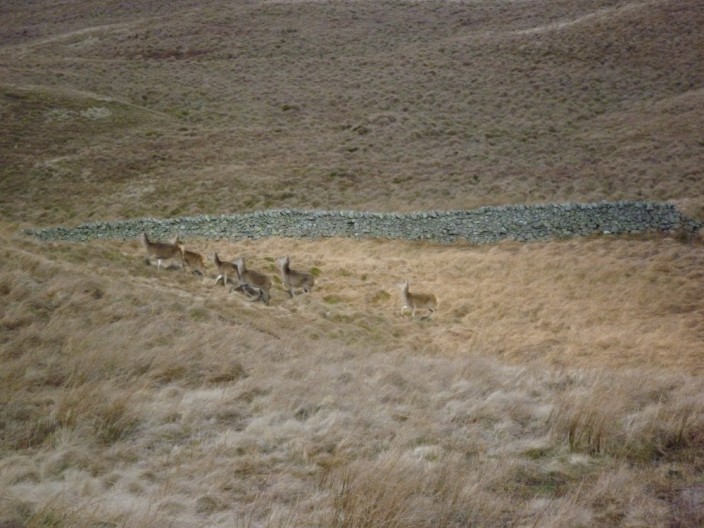
and start to head off . . .
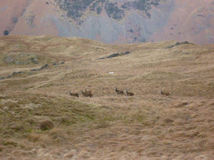
joined by a few of their friends
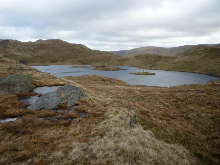
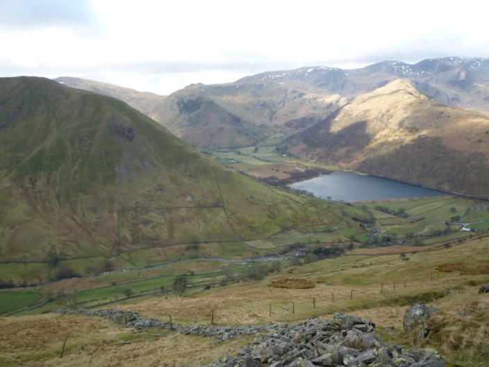
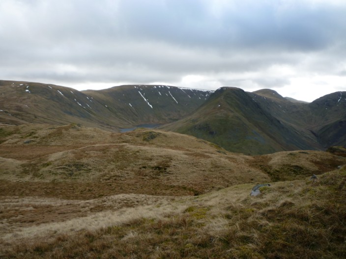
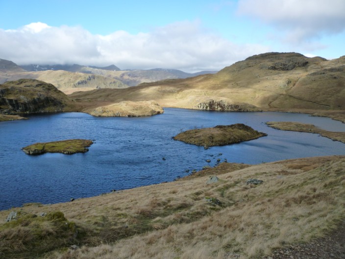
A different view of Angle Tarn, from the western side - you can just make out the main path on the opposite side

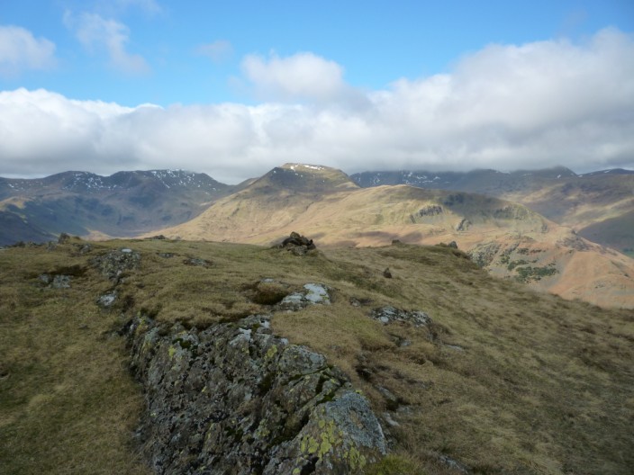
The southern summit of Angletarn Pikes looks over the tarn, High Street and Gray Crag . . .
whilst from the northern (and main) summit St Sunday Crag stands between Fairfield and Helvellyn . . .
whilst looking north Place Fell towers over Ullswater
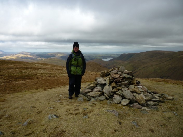
It was a struggle to stand still in the strong wind on Angletarn Pikes
Angle Tarn from the path seen in the earlier photo, showing Helvellyn still in mist
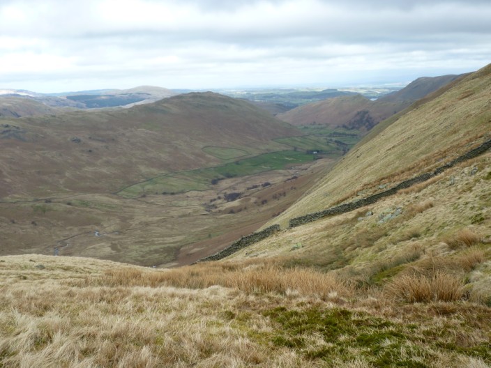
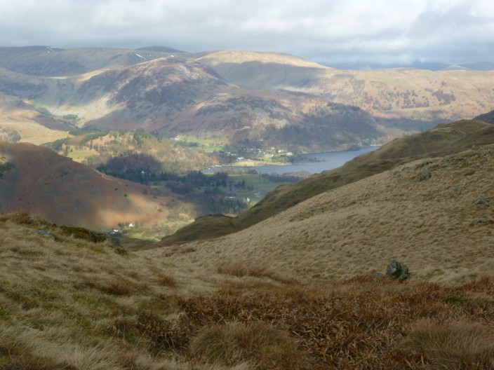
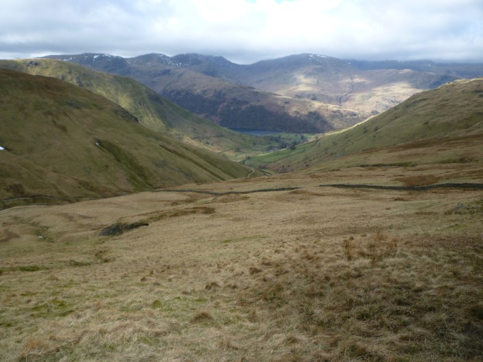
A detour to find a sheltered lunch stop reveals a view over the Bannerdale Valley
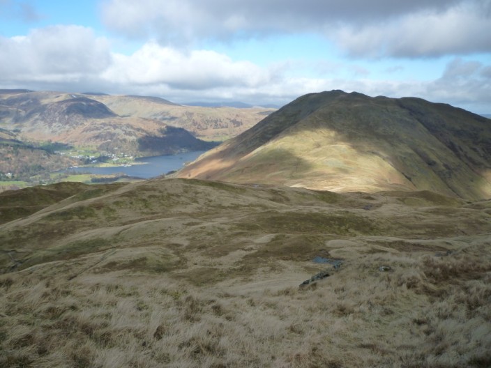
Looking over Beda Fell from the summit of Rest Dodd, Place Fell looks smaller than its 2,155 feet . . .
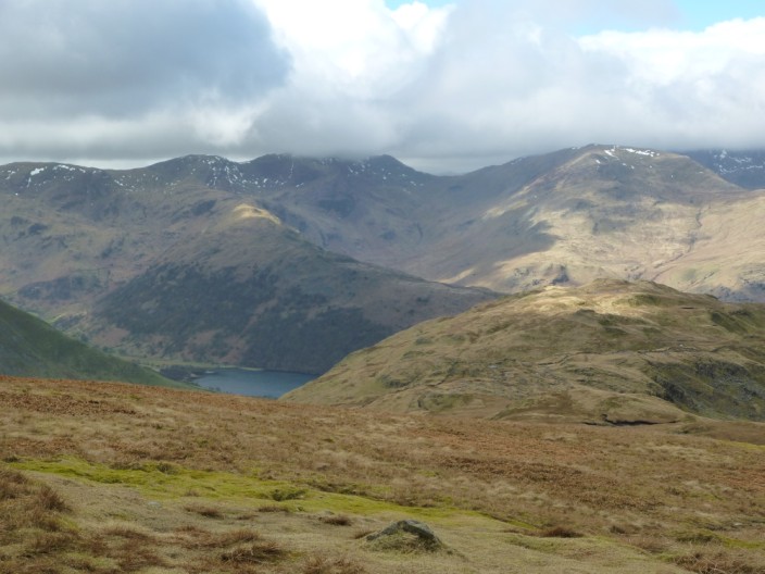
and Fairfield has joined Helvellyn in the mist
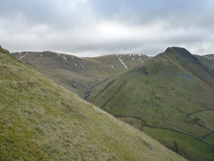
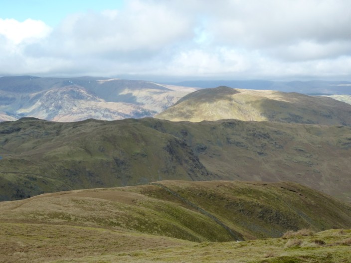
In the opposite direction the flanks of High Raise are still sheltering some snow . . .
and to the north Ullswater peeps into view
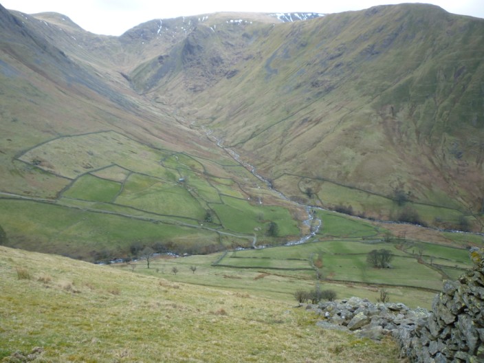
From Rest Dodd it's all downhill as I make my way towards . . .
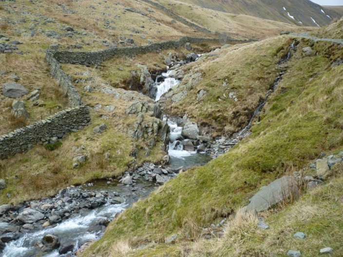
Hayeswater Gill . . .

where the wind blows spray into the air on the outflow
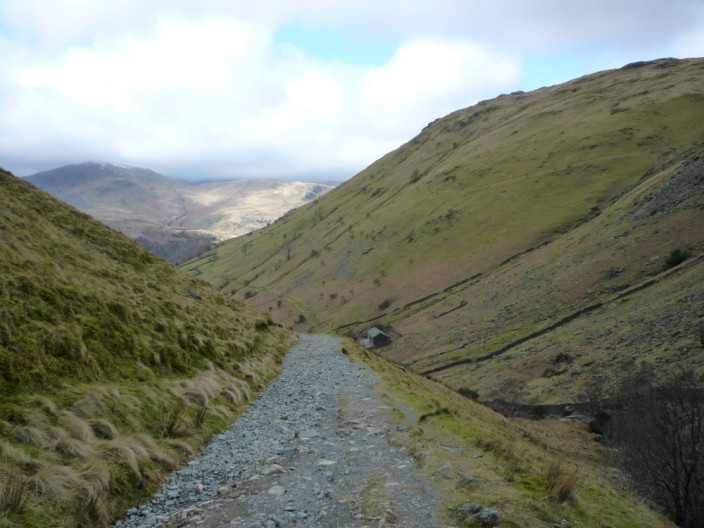
The path may be a little tedious . . .

but the views of the beck make up for it
I also get a good view of my initial ascent . . .
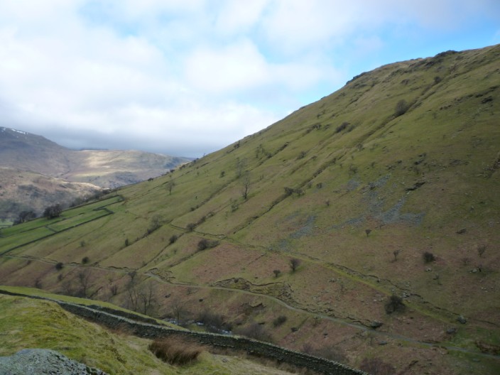
following the line of the wall . . .

which stretches up from the lower walled pasture
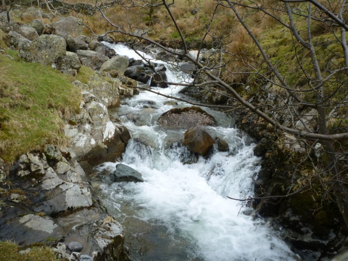
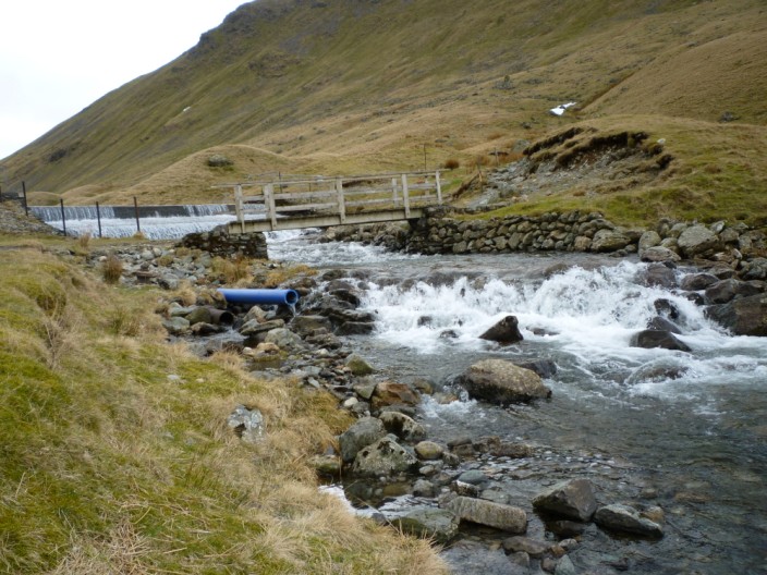
A last shot of the beck . . .
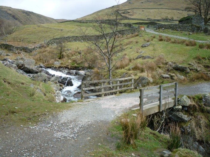
from the bridge
Return to 2010 Diary Return to top