| Walk: | Bowden Bridge, William Clough, Kinder Downfall, Kinder Low, Edale Cross | ||
| Start Point: | Bowden Bridge, Hayfield | Grid Ref: | SK 048 869 |
| Distance: | 9.1 miles | Ascent: | 2,050 feet |
| Weather: | A bright start followed by intermittent heavy rain showers | ||
| Accompanied by: |
9 members of the group, led by Phil |
||
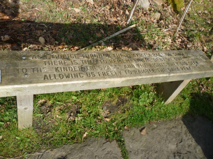
| Comments: | After examining the plaque and bench commemorating the Mass Trespass of 1932, we headed up the road towards Kinder Reservoir. The route then led across White Brow and up William Clough where we found an ideal spot for 'elevenses'. Continuing the upward trend we soon reached the Pennine Way at a crossroads near Ashop Head. A slight detour took in Mill Hill with 360° views, including Manchester in the far distance. Retracing our steps to the crossroads, we continued along the Pennine Way as it followed the edge of the Kinder Plateau, keeping Kinder Reservoir in view for much of the time. At Kinder Downfall, the designated spot for lunch, a heavy rain shower had us sheltering in the lee of some rocks until the worst of the weather had passed. Suitably refreshed we then made our way to Kinder Low, the second highest point on our route. The path then started to descend, passing Edale Cross, a Medieval Monument dating from 1210. Another heavy rain shower ensured that we got a good soaking before returning to the cars! | ||
Scroll down to see photos of the walk
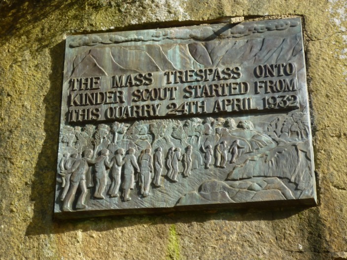
Bowden Bridge, the starting point . . .
of the Kinder Scout Mass Trespass in 1932
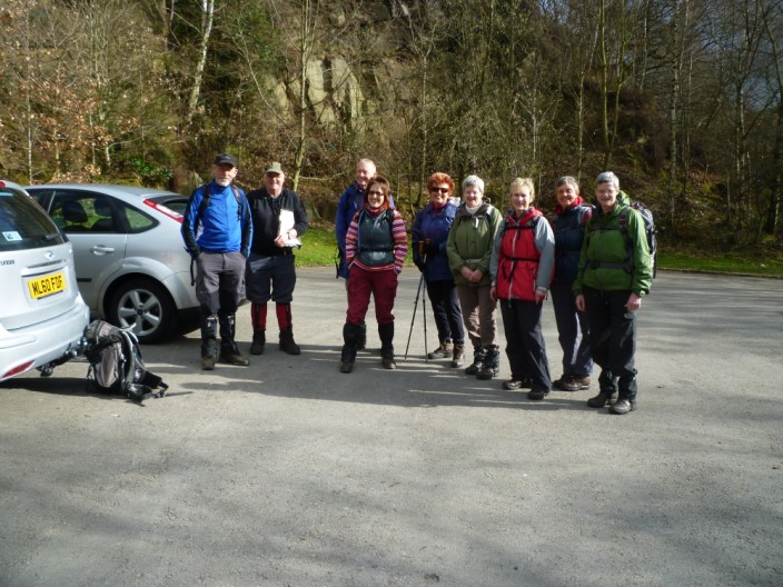
The sun shines as we prepare to leave

The Sheep Wash, where farmers washed their sheep before shearing . . .
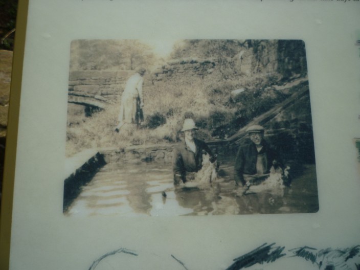
standing up to their waists in the water
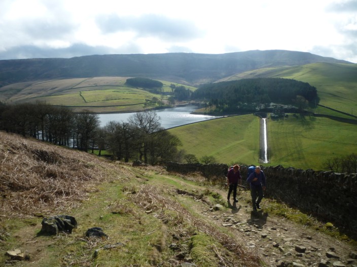
Heading up from Kinder Reservoir . . .
we make our way across White Brow . . .
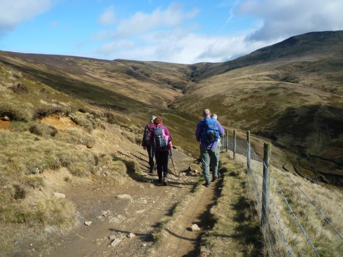
and up William Clough . . .
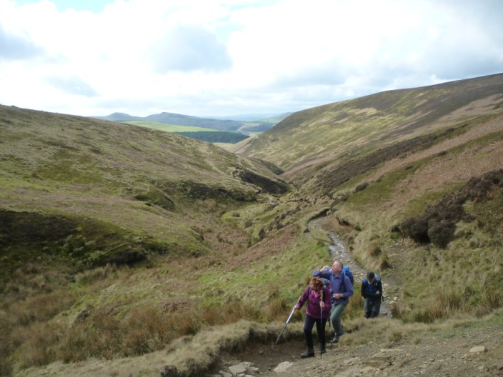
where a steeper section brings us to . . .
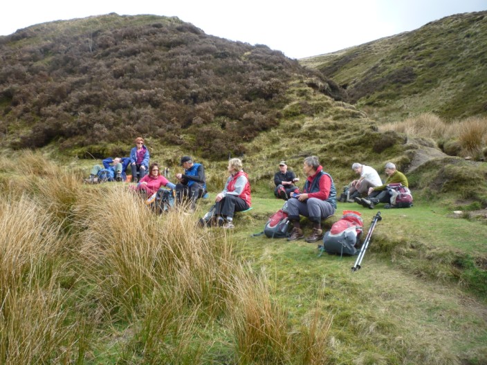
an ideal spot for elevenses
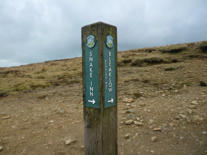
We follow the Bleaklow direction . . .

for a short detour to Mill Hill , , ,
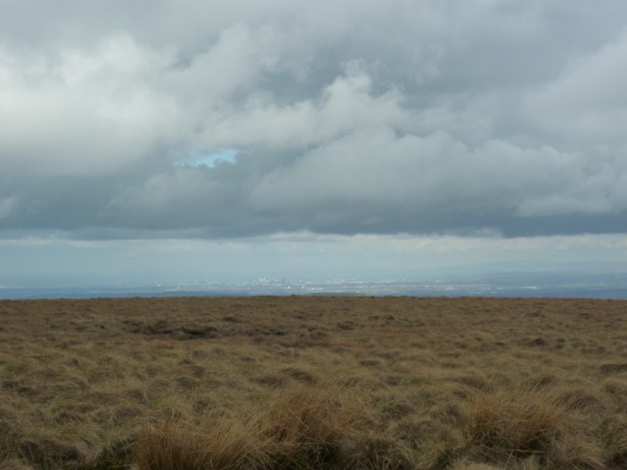
from where we can see Manchester in the distance
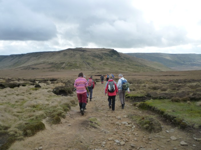
Retracing our steps to the crossroads . . .
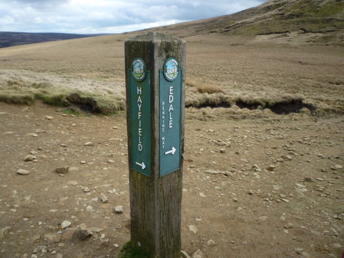
we then take the Edale direction . . .
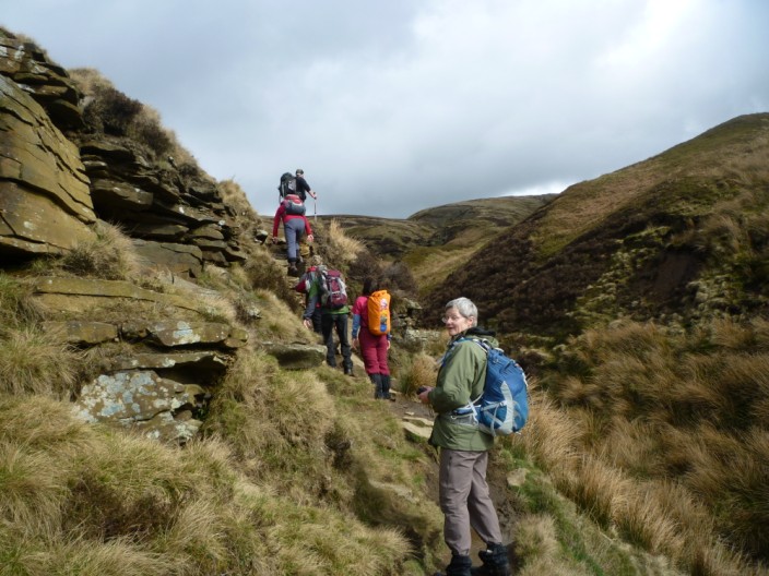
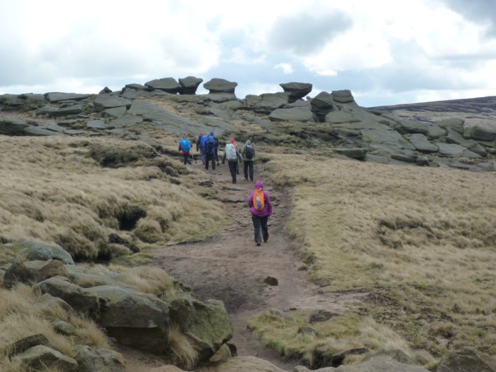
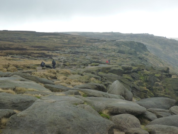
to head up onto the plateau . . .
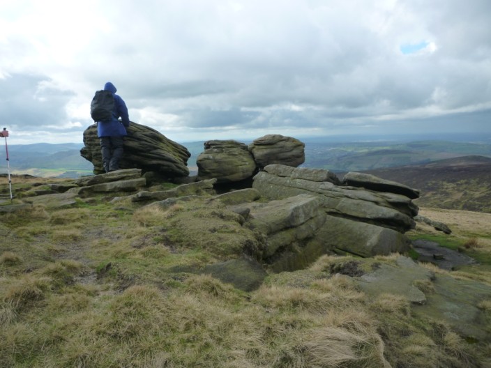
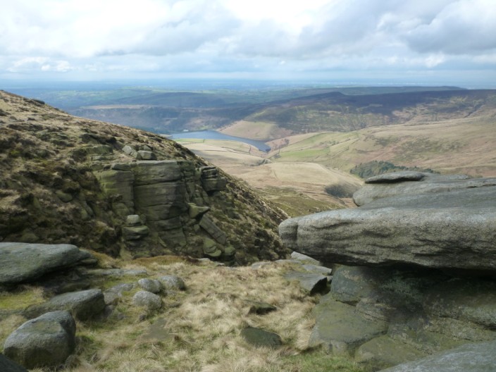
with its many and varied rocks formations
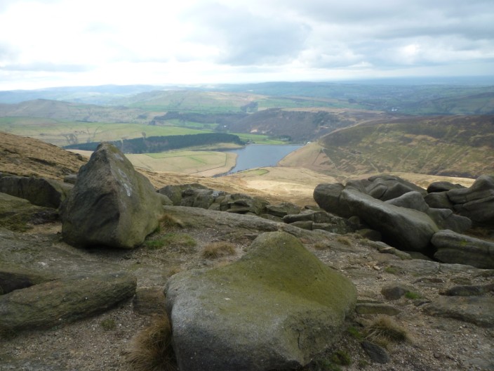
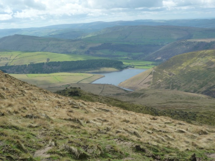
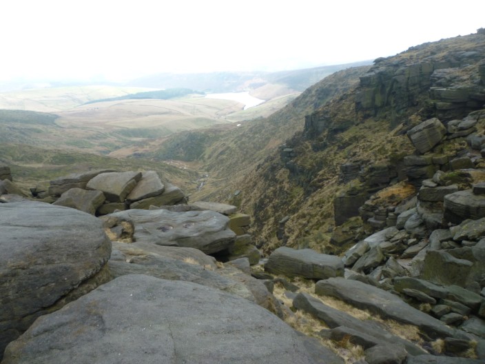
Kinder Reservoir stays in view for much of the time . . .
as we continue on the Pennine Way
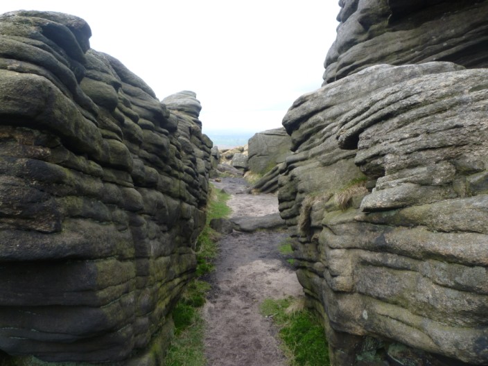
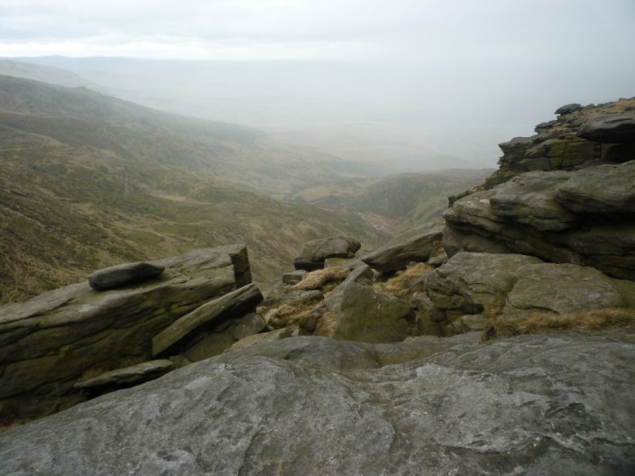
A slight detour from the path reveals a rocky corridor
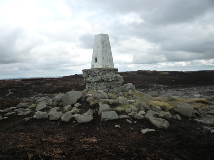
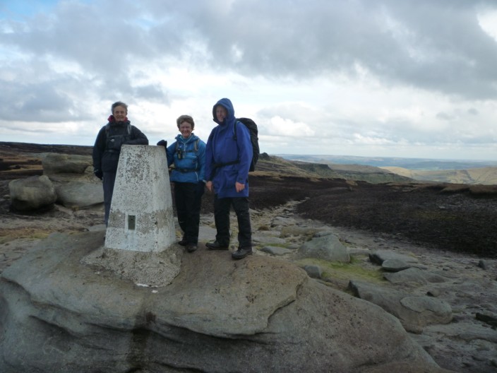
The unnamed trig point reveals the amount of erosion that has taken place since it was built . . .
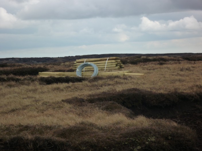
and nearby posts, rails and wire wait to close off areas that need protection from sheep to enable regeneration - though there will be access points for walkers
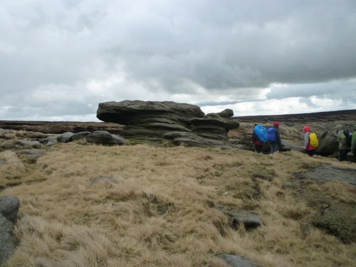
More rock formations . . .
line the sides of the path
Reaching Kinder Downfall the weather closes in for a short time . . .
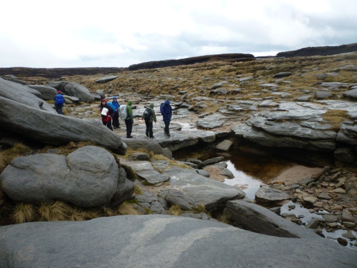
but we are soon able to explore . . .
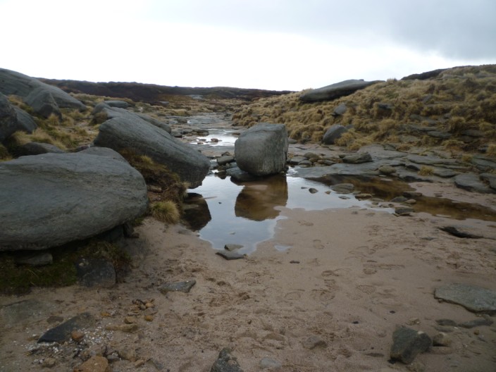
the route of the stream off the plateau . . .

and on to the Downfall
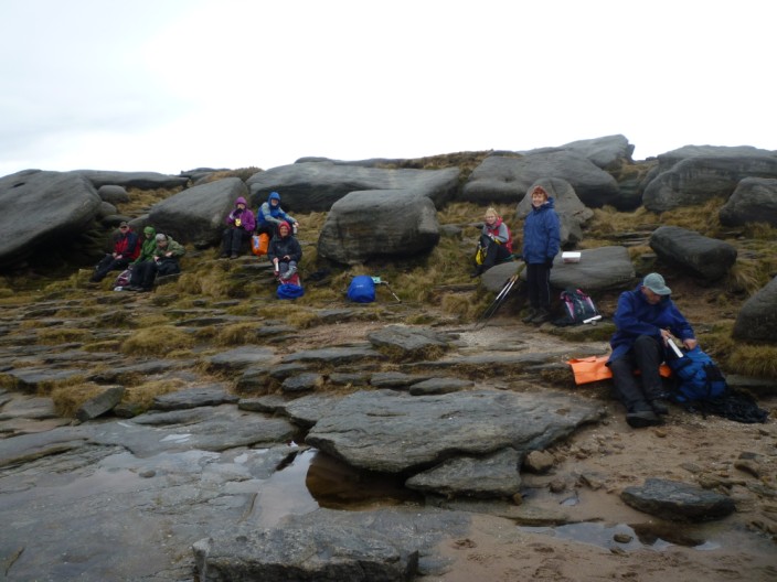
We stop here for lunch . . .
before crossing the stream for more photos down the clough . . .
and along our route
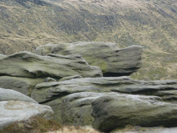
More rocks and views . . .
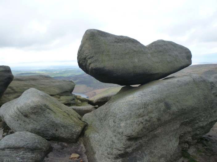
some looking a little precarious . . .

and others just 'different'
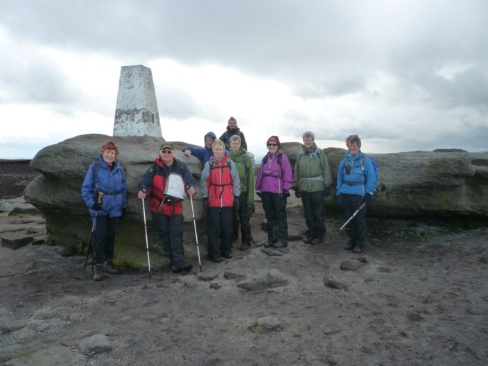
Finally reaching Kinder Low . . .
Marie, Kath and Ray take a closer look at the trig point . . .

before continuing past the cairn . . .
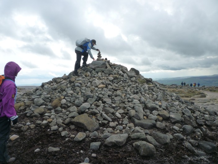
where Ian adds a few millimetres to the height
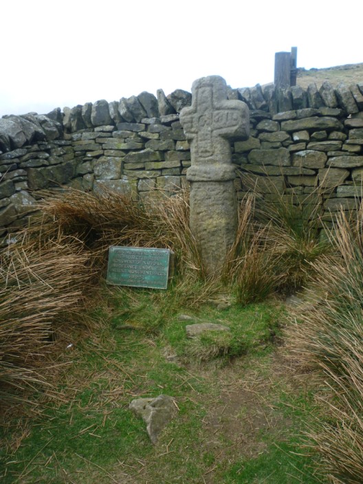
Edale Cross has its own . . .
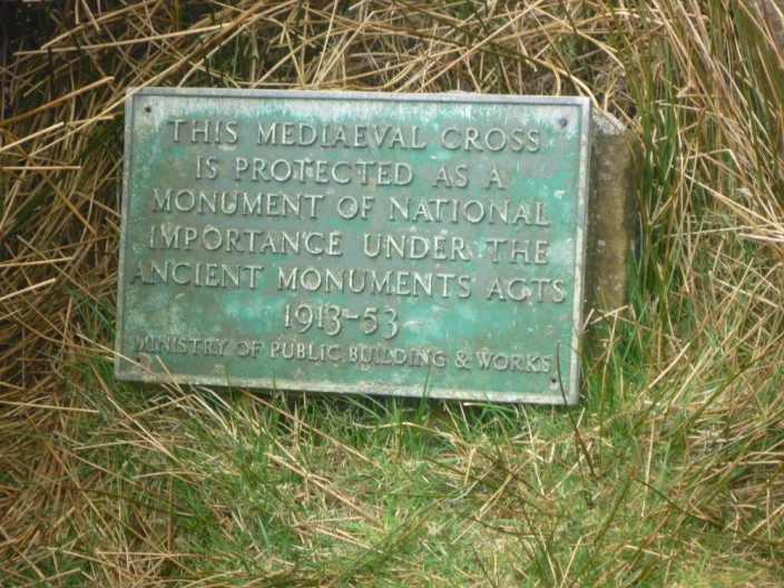
information plaque
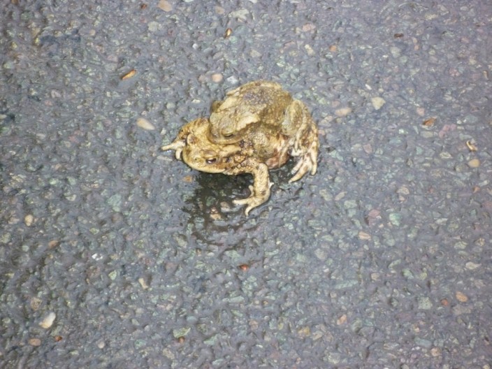
Nearing the car park countless toads are seen crossing the road