| Walk: | White Coppice, Great Hill, Round Loaf, Black Hill Lower, Devils Ditch, Pike Stones, Anglezarke Reservoir | ||
| Start Point: | White Coppice cricket club | Grid Ref: | SD 619 190 |
| Distance: | 6.7 miles | Ascent: | 1,400 feet |
| Weather: | Sunny and warm | ||
| Accompanied by: |
On my own |
||
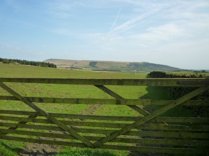
| Comments: | Another afternoon of exploration on Anglezarke Moor, I set out from a busy White Coppice to climb Great Hill, a 40 minute 900 foot gradual ascent. After a short spell on the flag stones I crossed the fence stile and took the faint path in the direction of Round Loaf, a Megalithic burial mound. From here I made my way towards Devil's Ditch, the object of the day. I soon found myself on a raised area known as Black Hill Lower and a clear path followed a ditch, of sorts, to the corner of the forest at Limestone Brook. Later research suggested that Devil's Ditch could have been a boundary used during the Neolithic/Bronze Age explorations of upland areas. Continuing on beside the forest I visited the Pikestones and was pleased to see that the graffiti on the stones had been removed. After passing Jepson's Gate I headed across the fields towards Manor House and was surprised to find the path completely blocked by a large construction at the farm across the road from Manor House. It was possible to walk around the construction but I would have expected to see signs relating to the new building. From here I dropped down to Anglezarke Reservoir and a pleasant walk back to the car. | ||
Scroll down to see photos of the walk
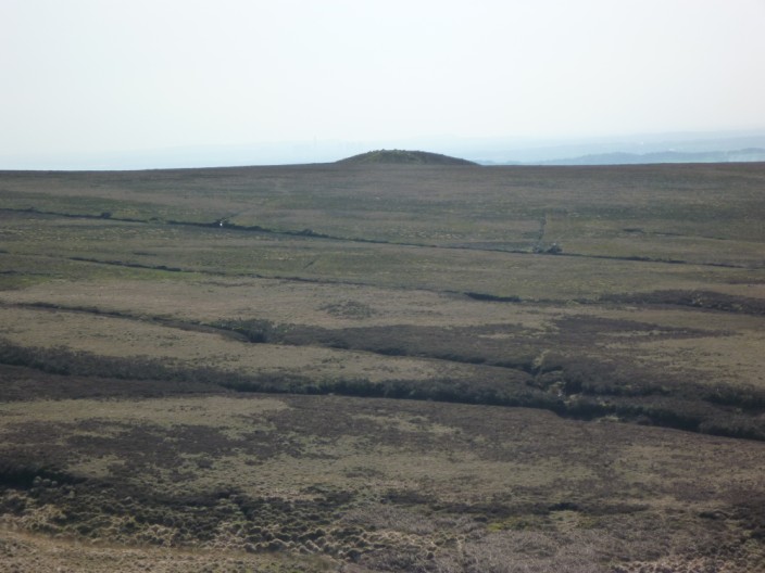
Round Loaf from Great Hill, looking quite desolate
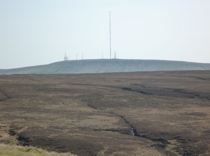
Zooming in on Winter Hill
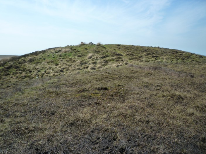
Approaching Round Loaf

Great Hill from Round Loaf
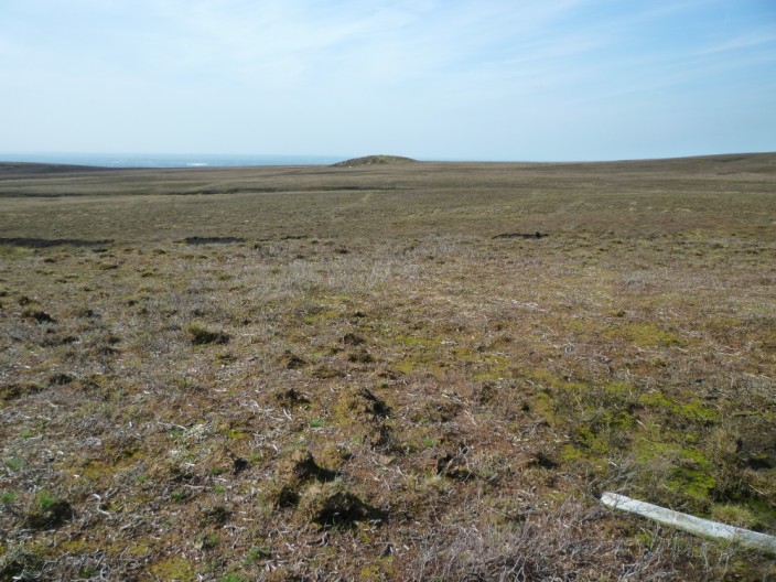
Looking back to Round Loaf from Black Hill Lower . . .
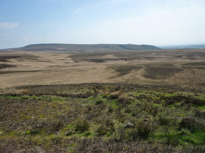
and across to Winter Hill and Rivington Pike, just visible on the right

Devil's Ditch runs in this direction . . .
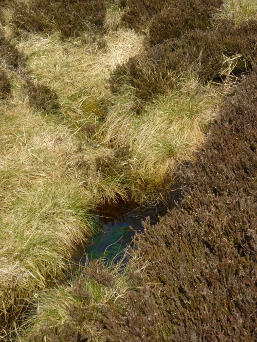
but there isn't much of a ditch there
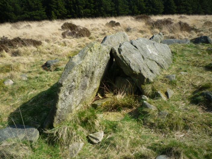
The Pike Stones . . .
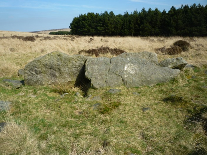
with most of the graffiti removed
Winter Hill and Rivington Pike from just below Jepson's Gate
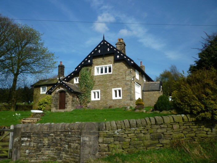
The Manor House

Anglezarke Reservoir
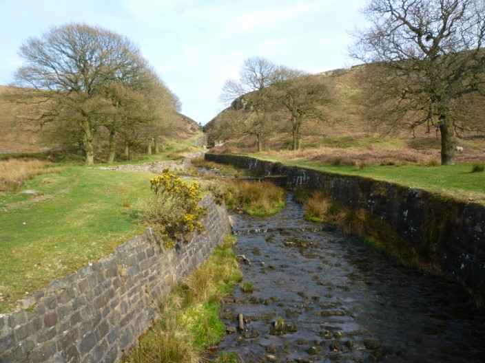
Dean Black Brook