Wednesday, 31st August 2011
| Walk: | Rawthey Bridge, Uldale Force, Harter Fell, Wandale Hill, Narthwaite | ||
| Start Point: | Lay-by near Rawthey Bridge | Grid Ref: | SD 712 978 |
| Distance: | 13 miles | Ascent: | 2,484 feet |
| Weather: | Overcast but mild | ||
| Accompanied by: |
On my own |
||
| Comments: | After following the River Rawthey to Uldale Force I decided to explore further upriver rather than retracing my steps to get onto the opposite bank. After about half a mile I decided to take my boots off and wade across! Returning along the opposite side I made my way past Uldale House and across to Murthwaite Rigg. From here I couldn't resist the pull of Harter Fell and decided to include it in the walk. From the summit I headed west to Stonely Gill and bypassed Adamthwaite, eventually leaving the path to head up onto Wandale Hill. A single rock marked the summit from where a path led down the nose. Dropping down the side of the fell to Wandale ruin the path deteriorated and became rather muddy and rough. After passing through Narthwaite the path then turned north-east to head back to Rawthey Bridge and the car. A good day's walking but somewhat wet and muddy underfoot. | ||
Scroll down to see photos of the walk
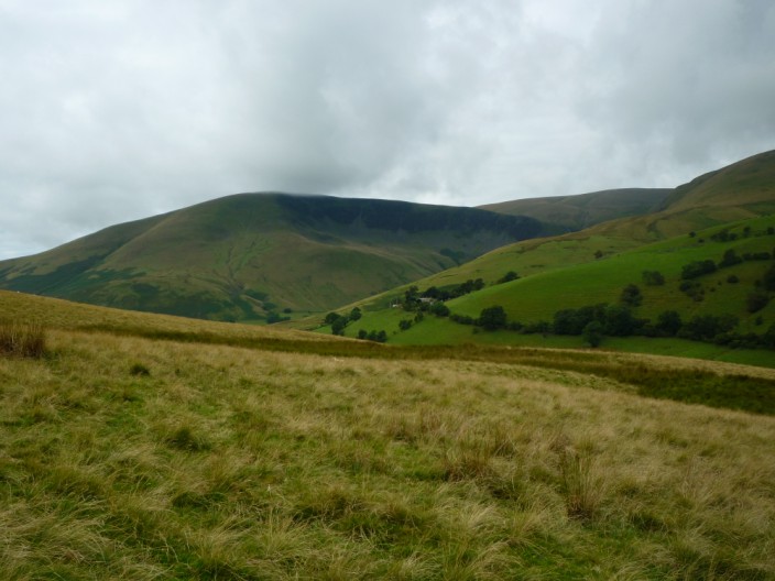
Looking across to Cautley Crags from the climb from Rawthey Bridge
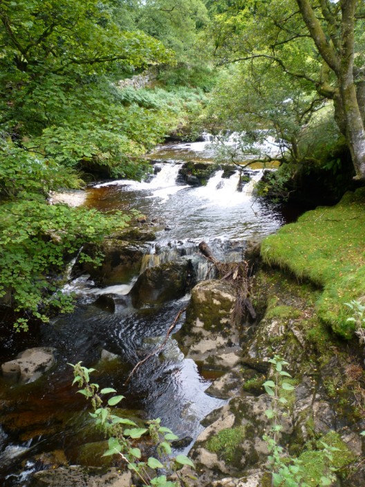
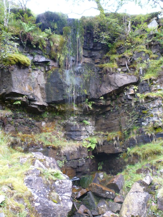
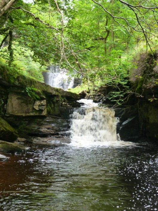
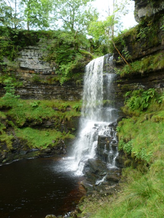
The waterfalls start off small . . .
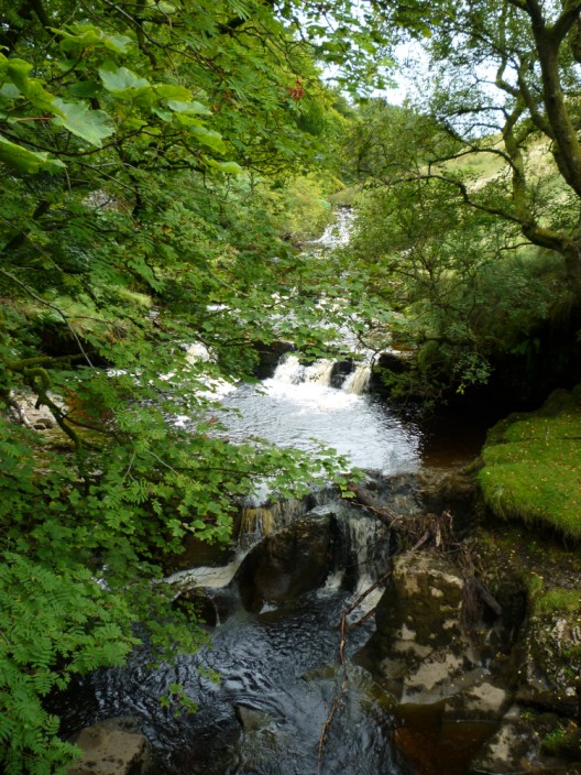
but gradually increase in size
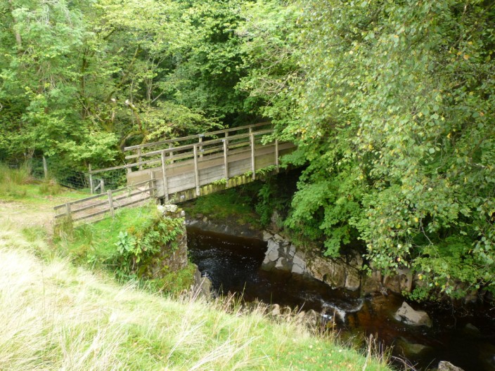
The bridge over the River Rawthey . . .
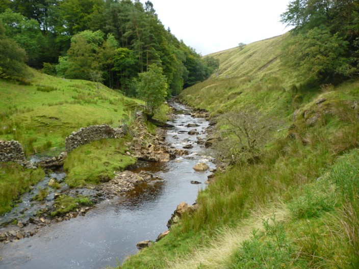
but I carry on upstream . . .
to pass more waterfalls
The sound of water to my right reveals a rocky outcrop . . .
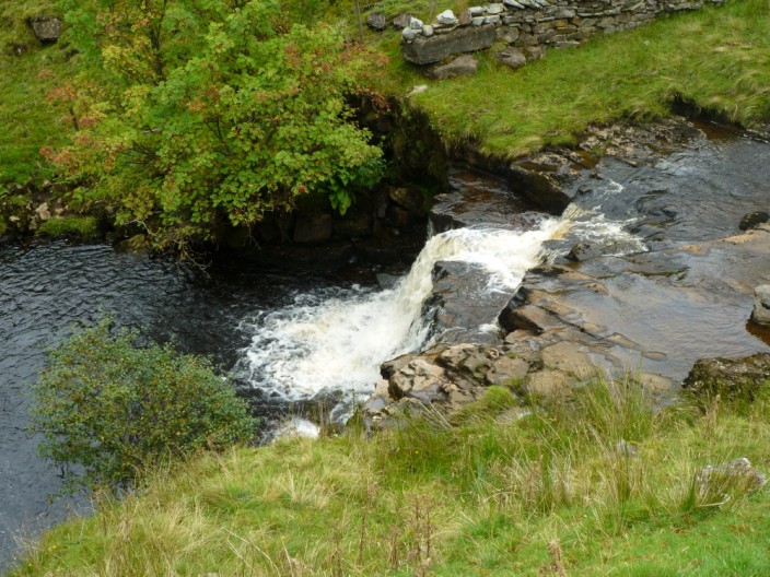
before I get a first glimpse of Uldale Force . . .
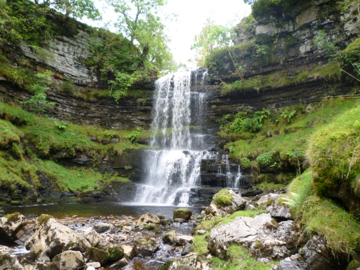
in a disused quarry . . .
and looking quite impressive
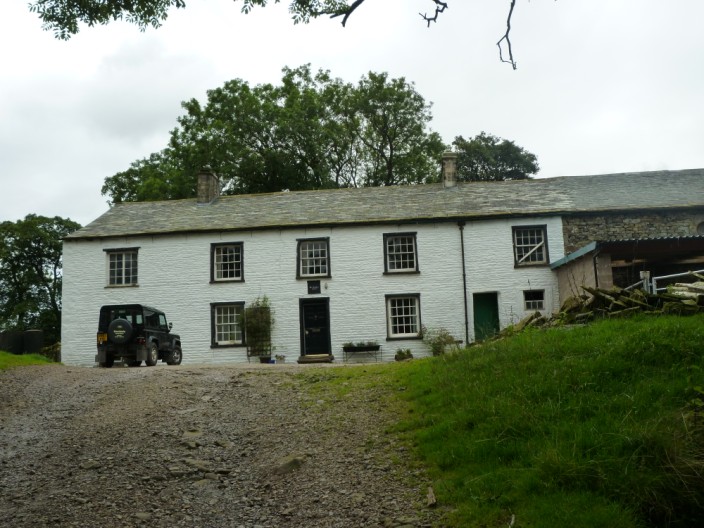
Uldale House - as I return down the opposite side of the river.
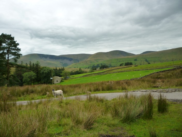
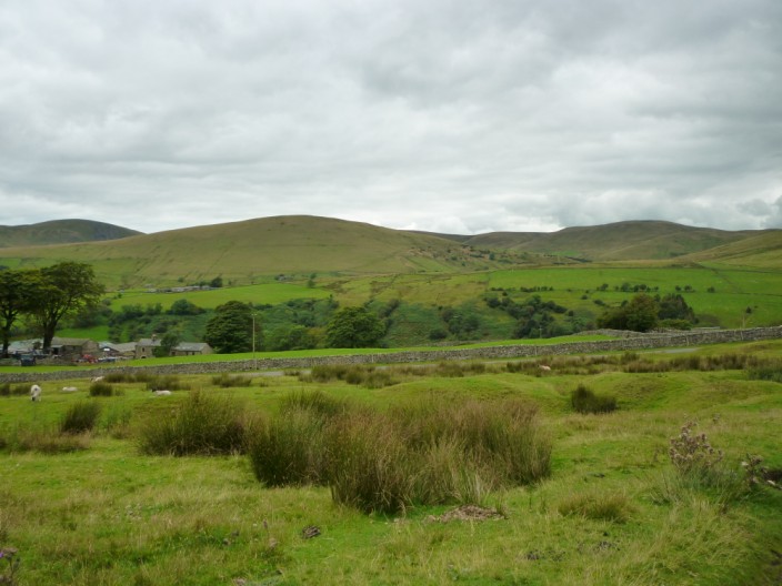
Looking North to the Howgills . . .
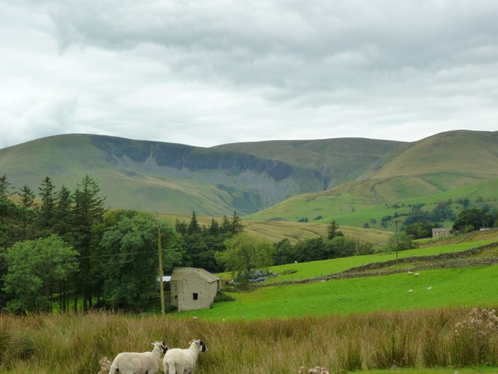
Cautley Crags are in view again
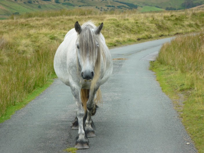
This 'mother in waiting' walked towards me with a very determined step . . .
but her attentions were focussed further along the road
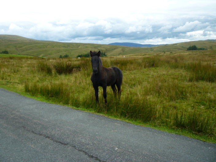
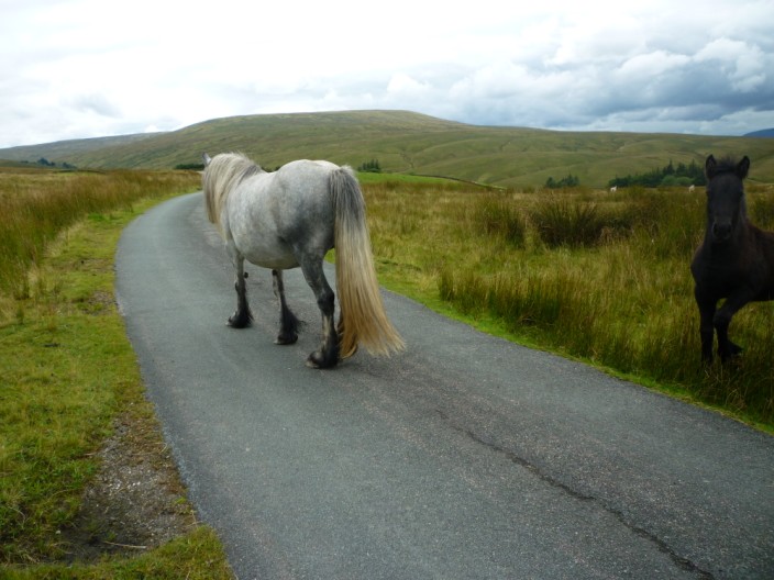
The foal stopped for a brief look . . .
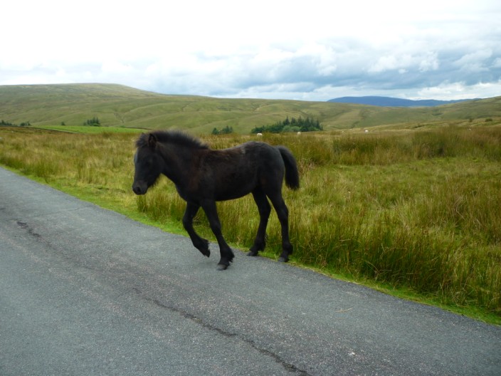
but soon carried on its way
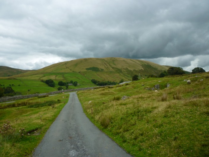
Harter Fell wasn't on the planned route - but it looked very inviting
as did Wandale Hill
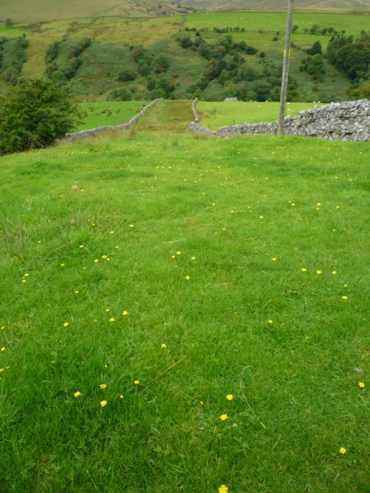
A very long, narrow field - or a wide green road?
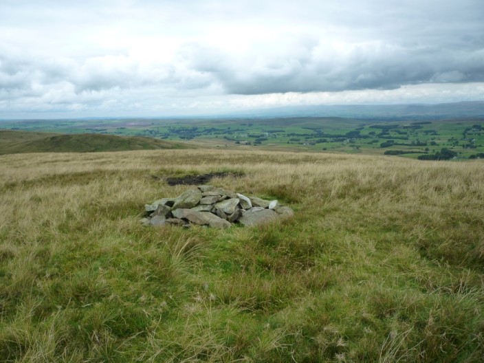
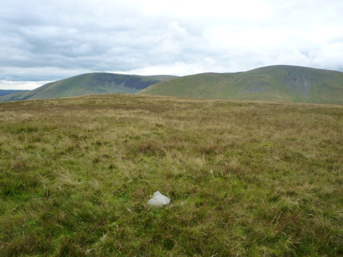
A few stones mark the summit of Harter Fell, looking north-west . . .
and south-east over Wandale Hill and the Howgills
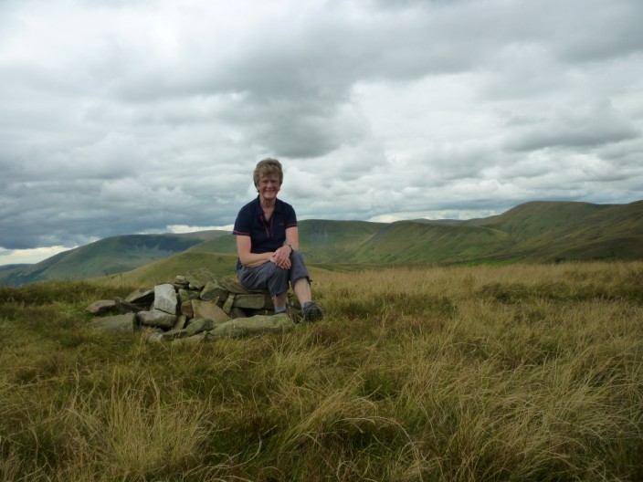
Just the view for a timed photo
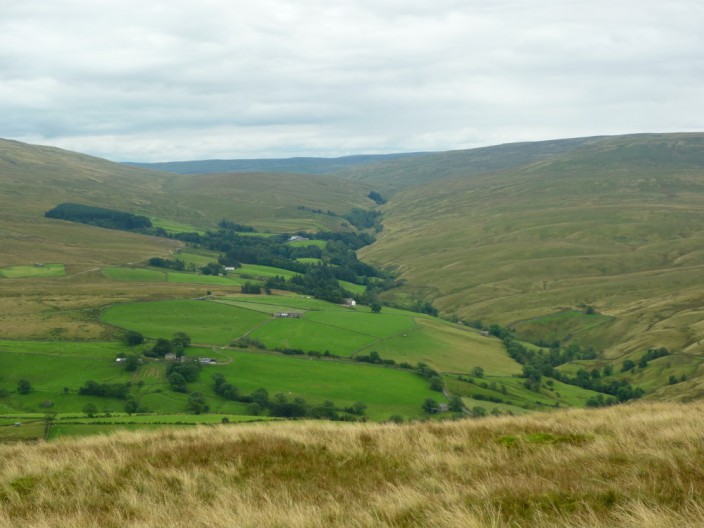
From Wandale Hill the line of Rawthey River is marked by trees . . .
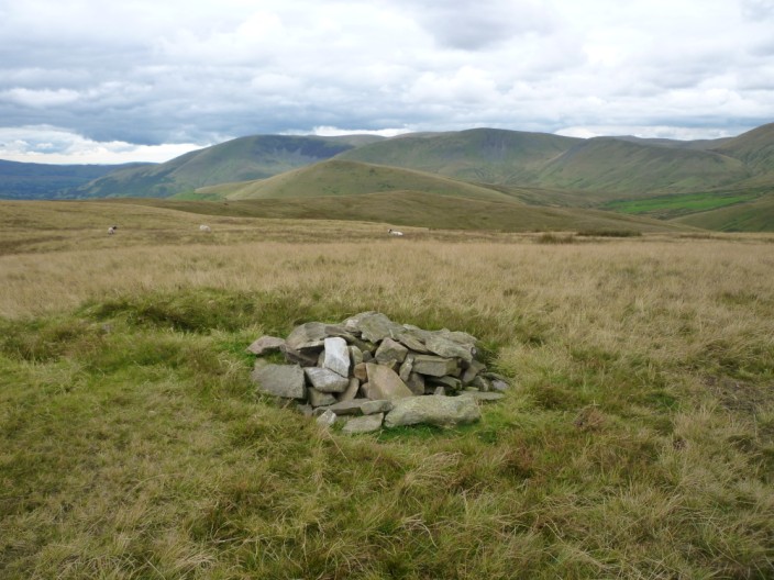
but the summit leaves a little to be desired, looking south-east . . .
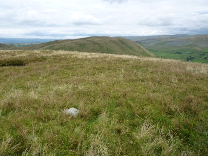
or north-west to Harter Fell
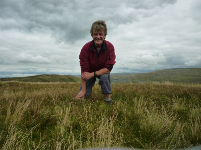
I think I need a tripod!
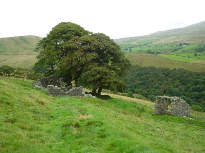
Wandale ruin on the descent