Sunday, 26th February 2012
Scroll down to see photos of the walk
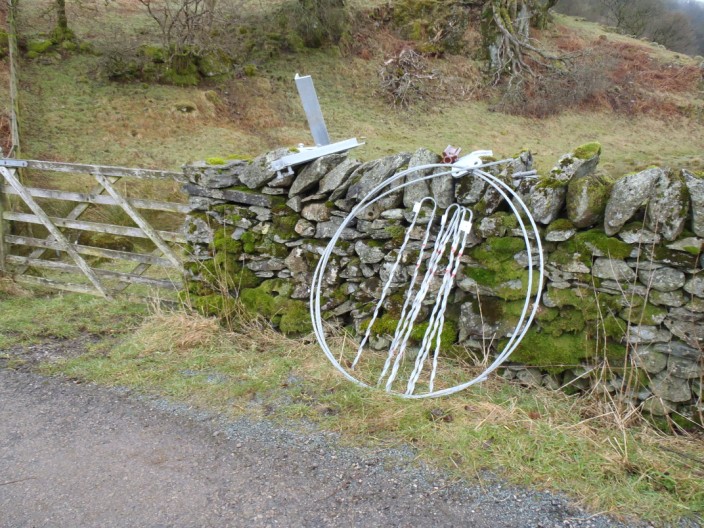
Is this the wire (Wyre) Way?
Crossing Ing Bridge
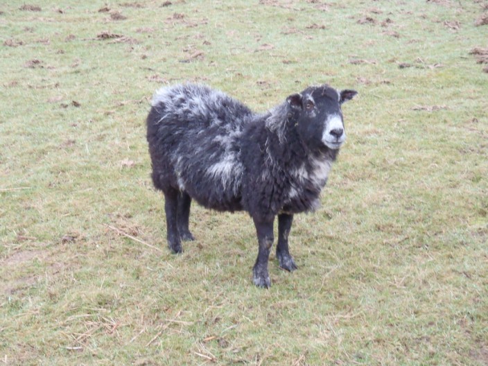
Is this my best side?
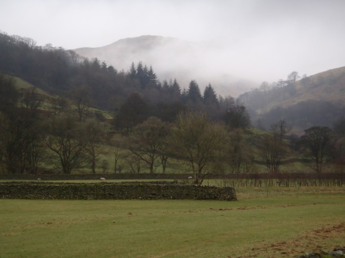
Looking towards Stony Cove Pike . . .
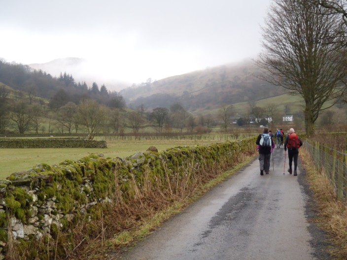
as we make our way down the valley
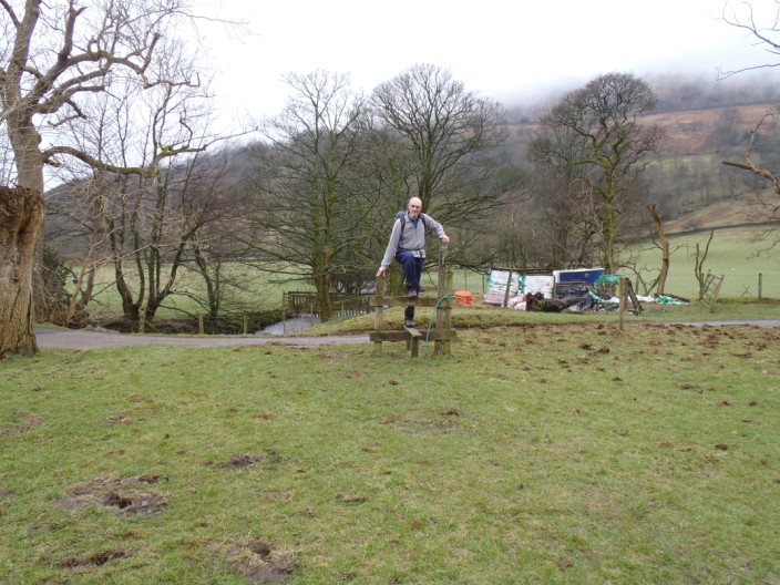
John checks out an obsolete stile
The initial ascent is steep . . .
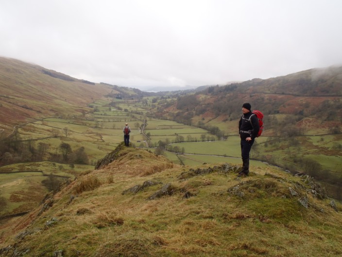
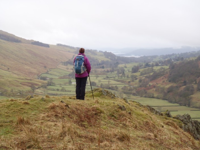
but there is an ideal spot to take in the views . . .
back down the valley
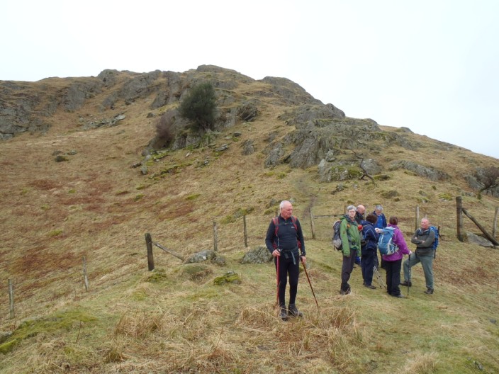
The group prepares for the climb . . .
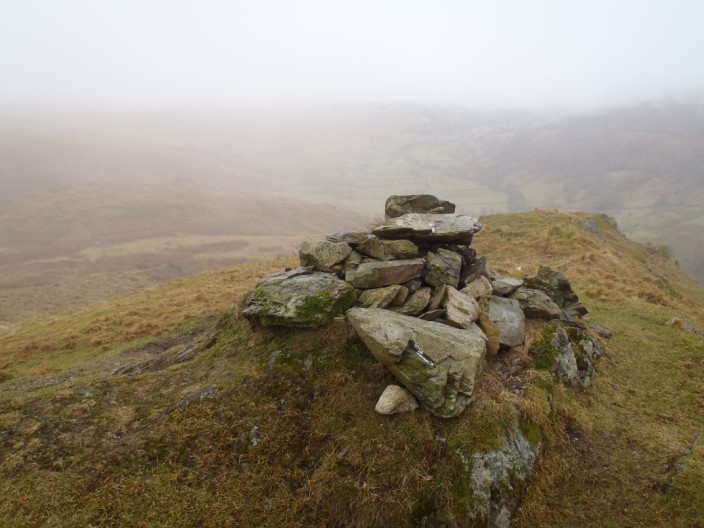
to the summit . . .
where the mist starts to close in
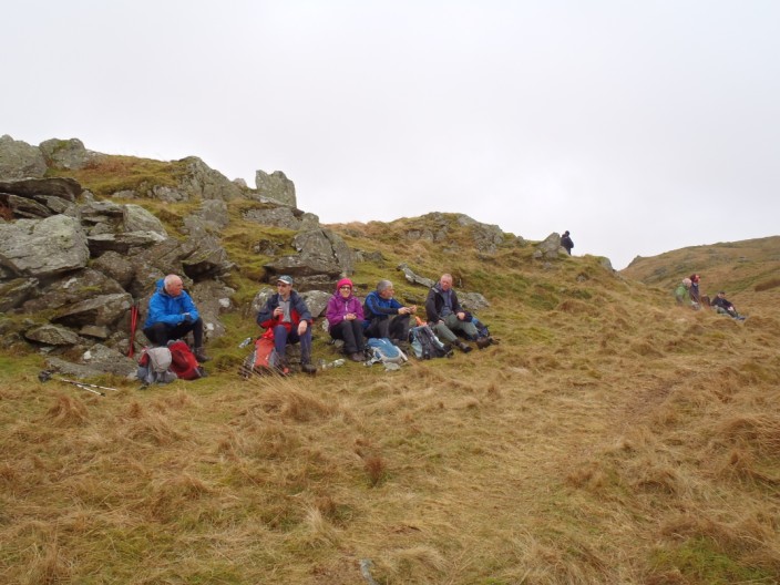
Time for elevenses
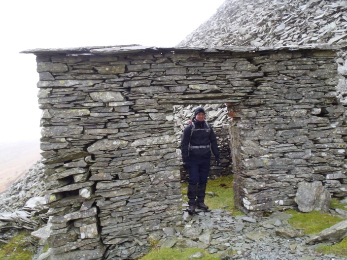
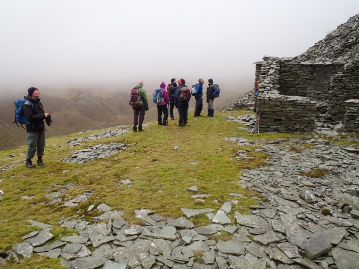
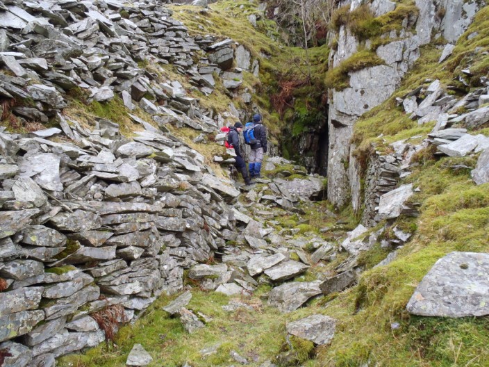
Contouring along the opposite side of the valley we reach the disused mine buildings . . .
where we regroup . . .
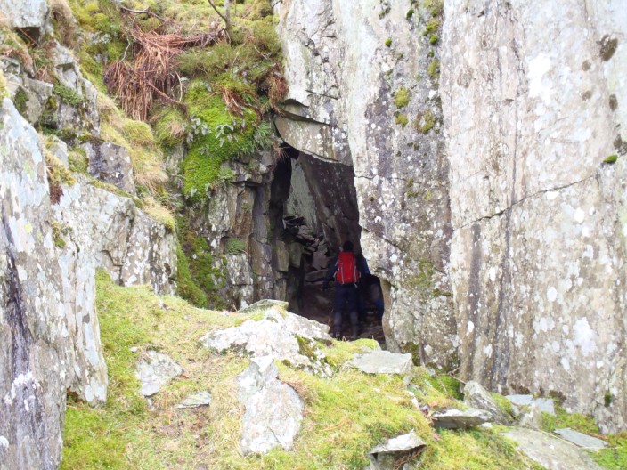
and start to explore . . .
a tunnel . . .
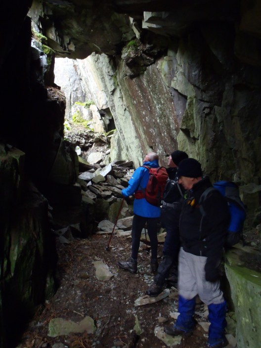
hewn out of the rock
An angled view takes in the 'skylight' (left) and exit (right)
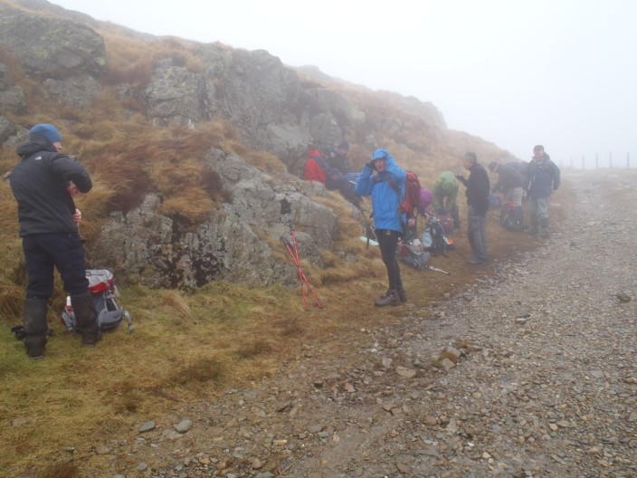
Lunch at the Garburn Pass - in mist and drizzle
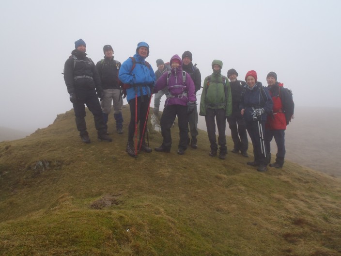
Sour Howes - note the smiles (or are they grimaces)
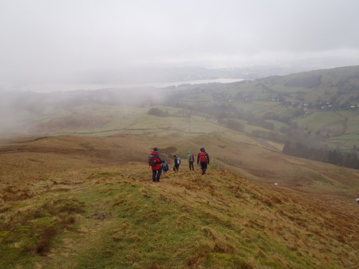
Descending from Sour Howes the mist starts to clear . . .
and Windermere can be seen . . .
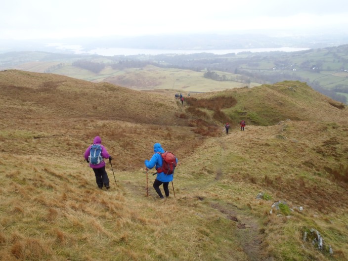
but there are one or two steep sections . . .
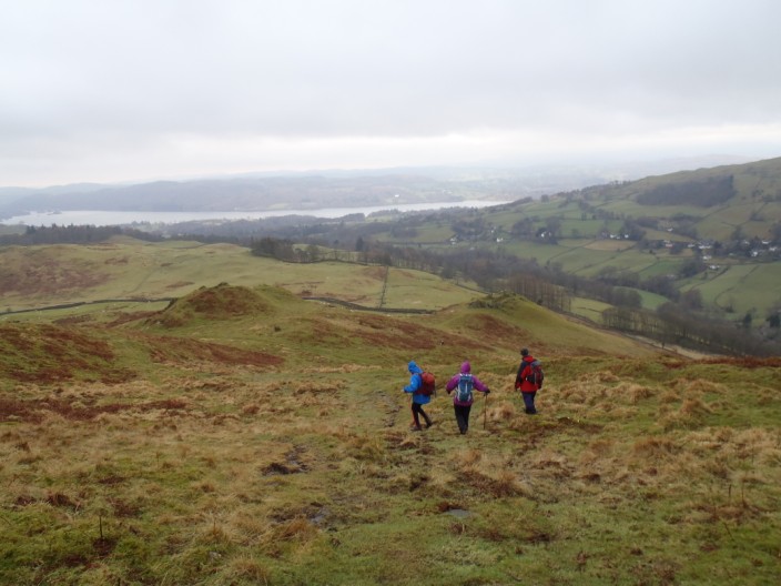
on our way down
|
||||||||||||||||||||
