| Walk: |
Kettlewell, Hag Dyke,
Great Whernside,
Nidd Head, Hem Gill Shaw, Starbotton Road, Starbotton, Dales Way,
Kettlewell |
| Start Point: |
Kettlewell car park |
Grid Ref: |
SD 967 722 |
| Distance: |
11.8 miles |
Ascent: |
2,100 feet |
| Weather: |
Sunny and hot with little wind |
| Comments: |
Leaving Kettlewell past the church I took
the higher route parallel to Dowber Gill Beck to reach Hag Dyke. The
route climbed gradually at first then more steeply to reach the trig
point and cairn of Great Whernside, a jumble of boulders and rocky
outcrop. From here I headed north past Blackfell Top and Nidd Head to
reach the crossing of routes on the col. Turning south west I followed
the path across Hem Gill Shaw, initially a good path but rather boggy in
its later stages. There was a good parking area where the path crossed
the minor road from Kettlewell. The raised earthen wall of Tor Dike made
a good vantage point for lunch before continuing along Starbotton Road
(track) and into Starbotton. After crossing the River Wharfe I followed
the Dales Way back into Kettlewell and enjoyed a well-earned ice cream! |
Scroll down to see photos of the walk

Kettlewell Church
Bridge over Dowber Gill Beck
Looking back to Kettlewell with Middlesmoor Pasture behind

Looking up Dowber Gill Beck towards Providence Pot
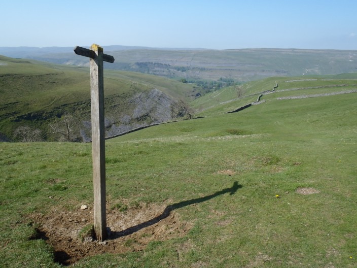
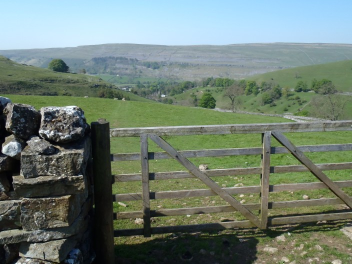
The way is well signposted
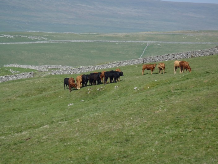
Too hot for the cows to do anything more than just stand still!
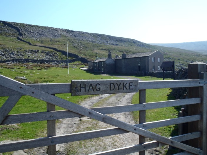
Hag Dyke, which has served as a hostel for scouts and youth groups . . .
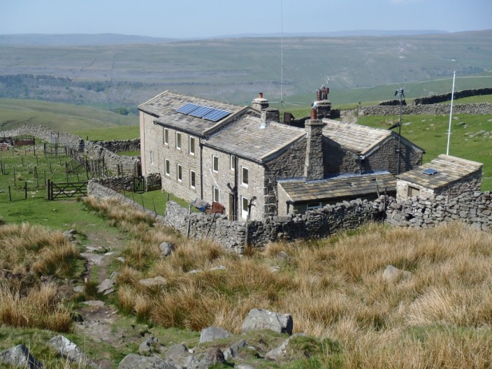
since 1947
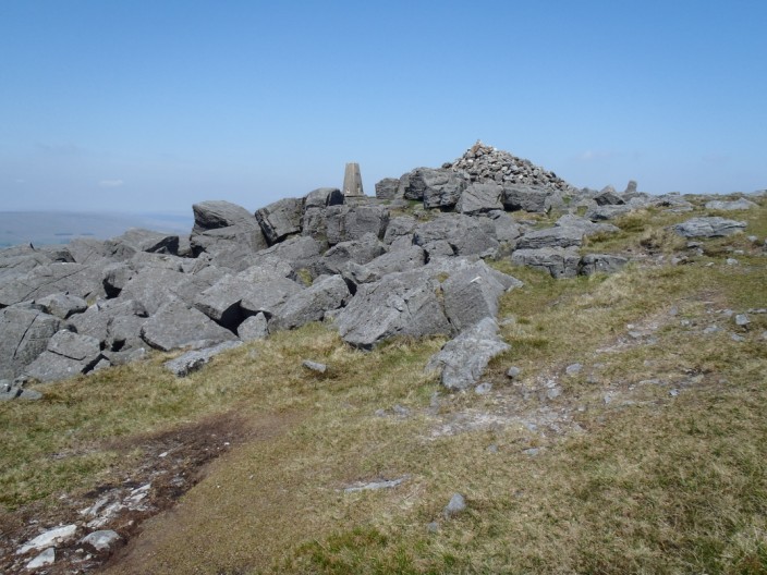
Reaching Great Whernside . . .
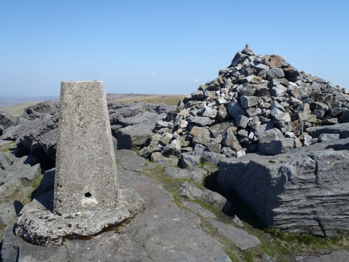
with its cairn and trig point . . .
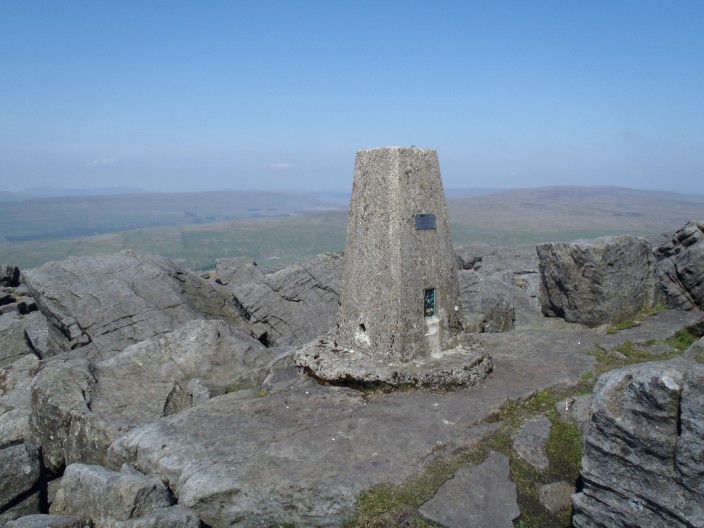
and good views over the valley
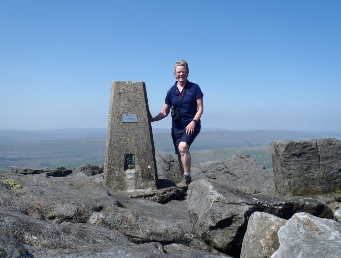
At least there are lots of rocks to balance the camera on
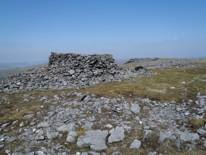
Shelter and rocks at Blackfell Top
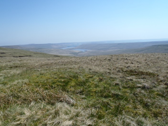
Angram and Scar House Reservoirs
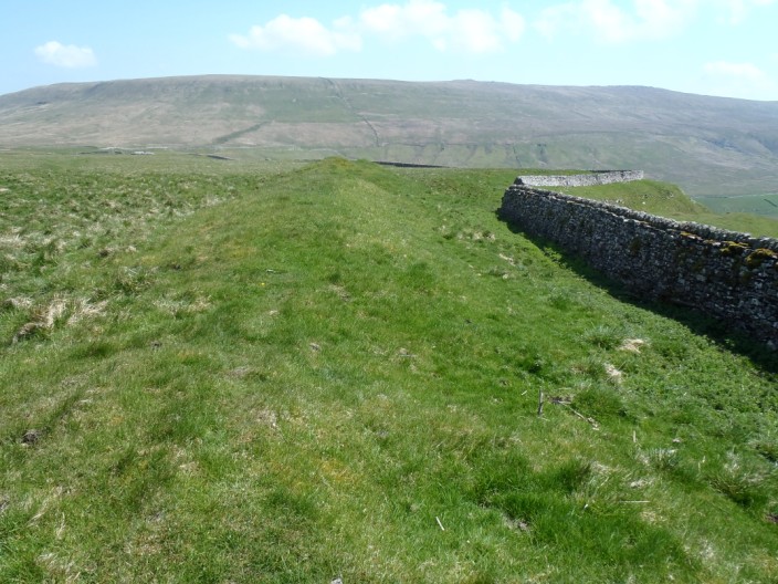
Tor Dike, traditionally thought to have been built in the 1st century AD to stem
the encroachment of invading Romans . . .
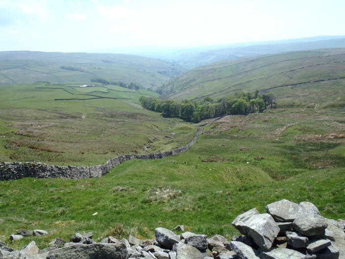
but more recent ideas suggest a later date when the Angles began colonising the
valleys
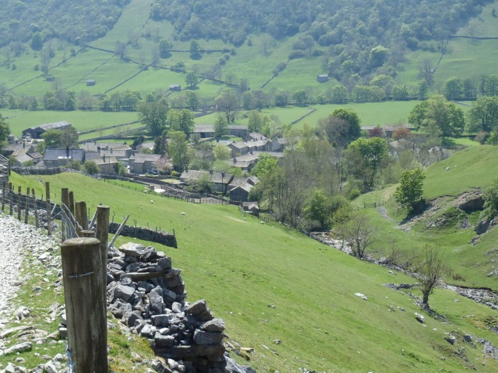
Descending to Starbotton
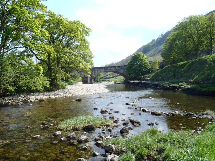
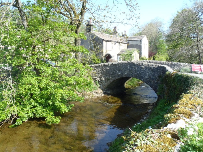
New Bridge at Kettlewell
Return to 2012 Diary
Return to top