| Sunday, 18th November 2012
Scroll down to see photos of the walk
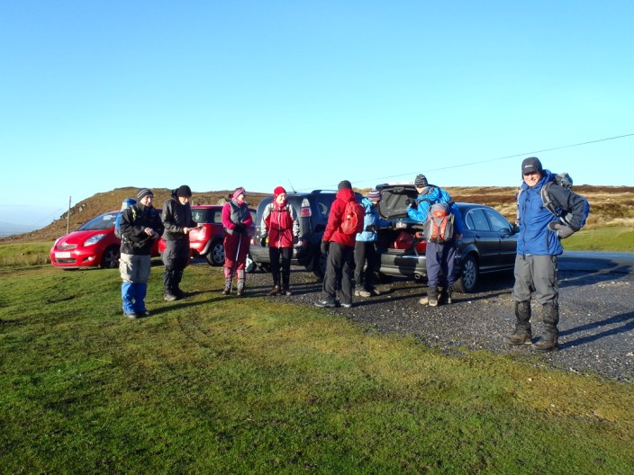
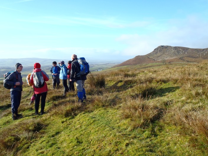
A total of 9 people gathered for this walk
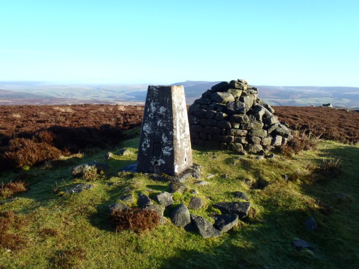
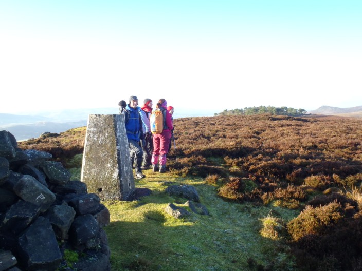
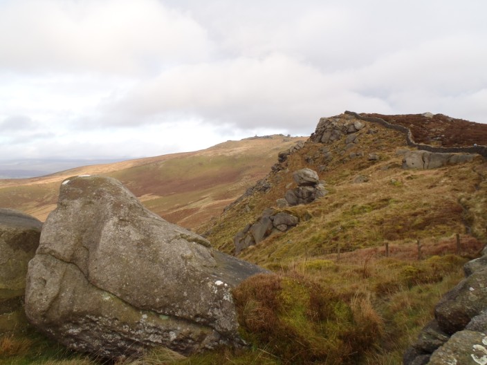
Our first summit, High Crag . . .
from where we can see our route to . . .
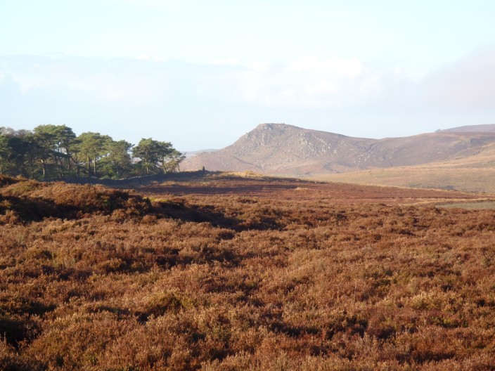
Embsay Crag
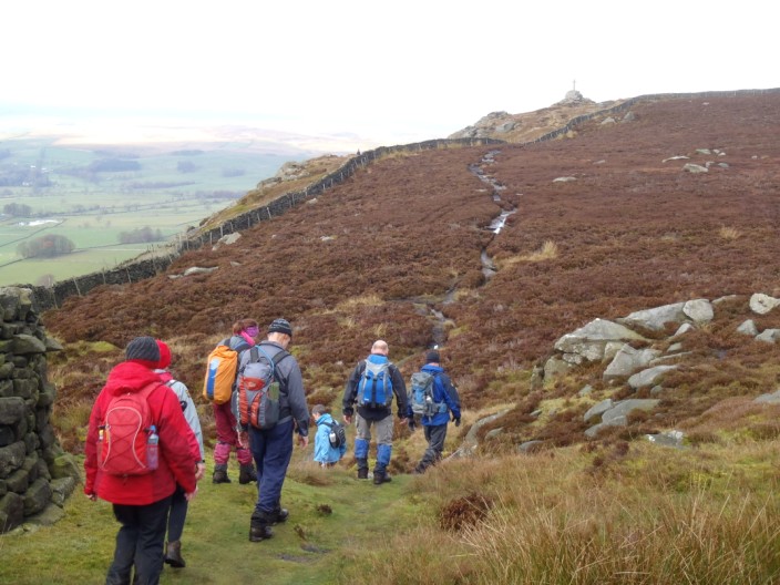
The group takes a breather en route
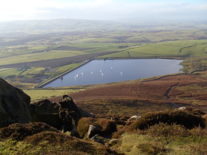
Embsay Reservoir from the Crag
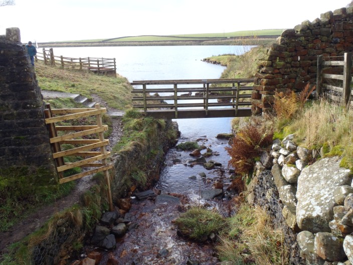
The bridge over Moor Beck . . .
which feeds the reservoir
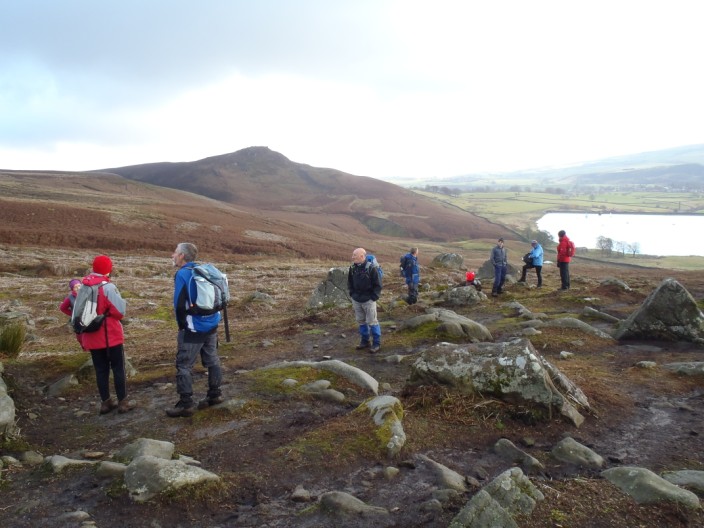
Lots of rocks to choose from as we stop for elevenses
Looking west to Flasby Fell
Crookrise Crag Top
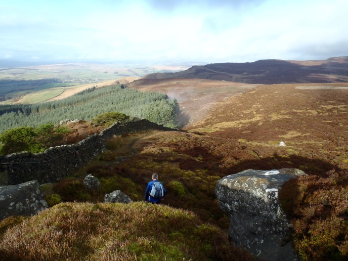
The woods are steaming in the sunshine
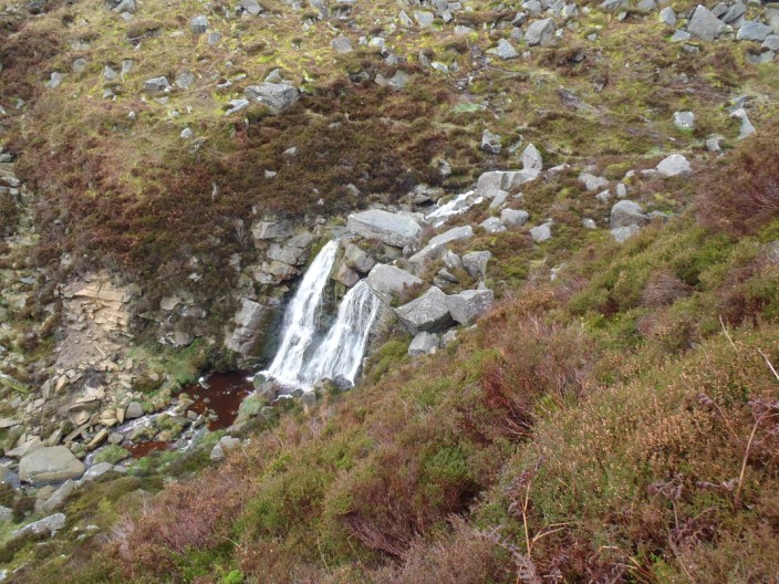
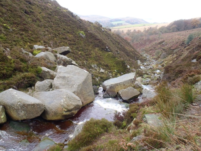
Waterfall Gill . . .
which has a choice of crossing places . . .
and some large rocks
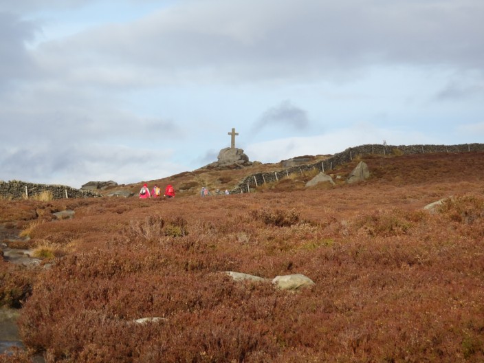
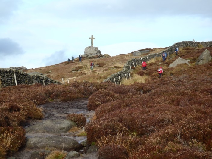
Making our way towards . . .
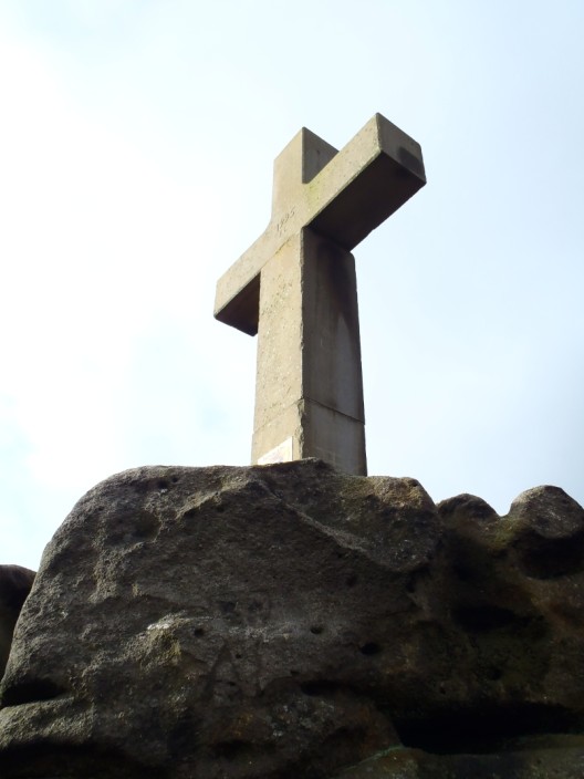
Rylstone Cross . . .
set in a prominent position . . .
overlooking the valley
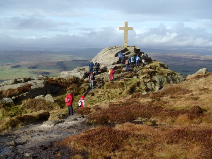
And again from a different angle
Continuing alongside the wall to . . .
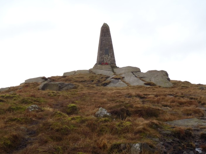
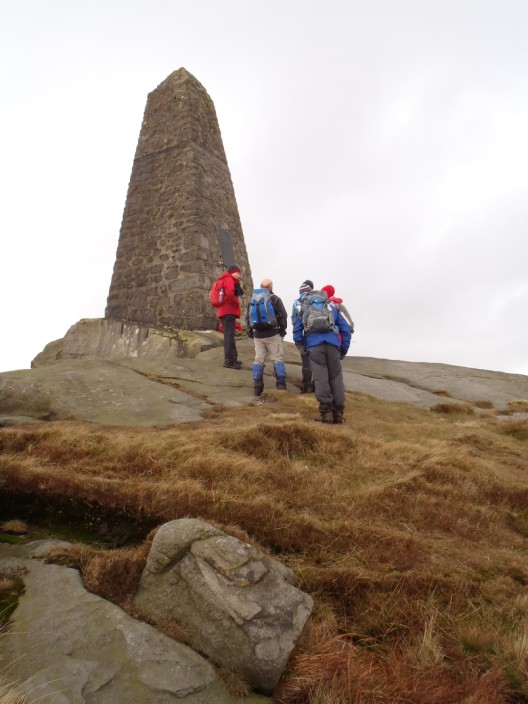
Cracoe Obelisk . . .
a war memorial dated 1914 - 1919 (?)
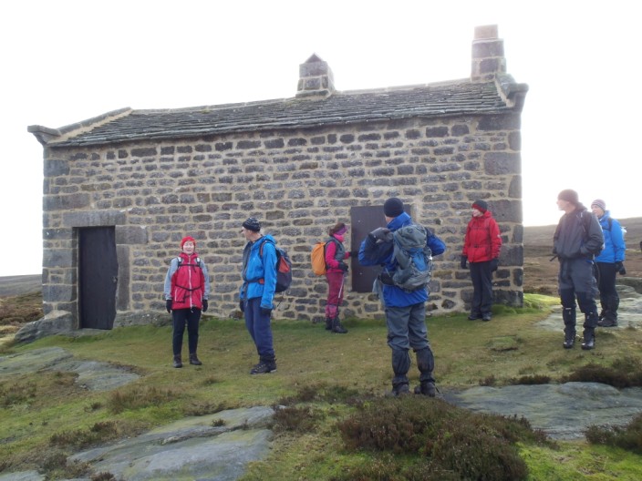
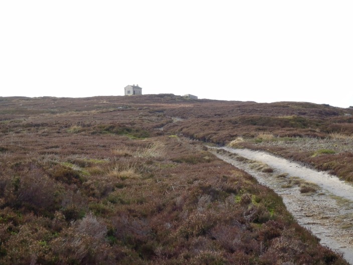
A substantial shooting Lodge . . .
which the group decides to investigate . . .
stands in a lonely position
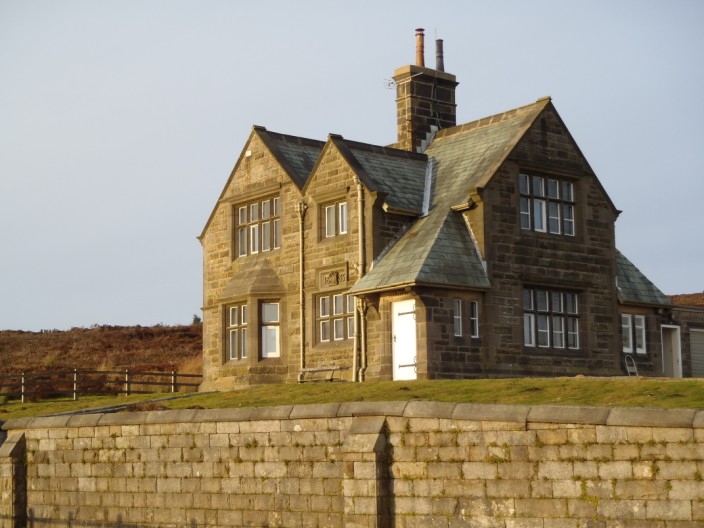
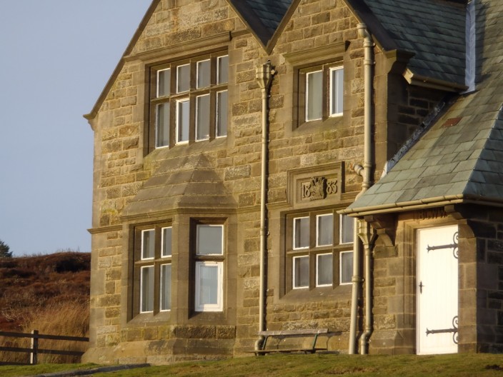
The former Reservoir Keeper's house at Upper Barden Reservoir . . .
and dated 1883
|
||||||||||||||||||||