|
Tuesday, 30th
October 2012
| Walk: |
Churn Clough Reservoir,
Sabden Fold, Lower Ogden Reservoir,
Pendle
Hill, Scout Cairn, Clitheroe Road |
| Start Point: |
Lay-by on Clitheroe Road, Sabden |
Grid Ref: |
SD 775 380 |
| Distance: |
11 miles |
Ascent: |
2,024 feet |
| Weather: |
Dull with some mist |
Time: |
5.25 hours |
| Comments: |
Today I tried a different
route along the north side of the Sabden Valley to bring
me out on Sadlers Height. From here I dropped down to
Lower Ogden Reservoir and walked along its north side
before heading towards Ogden Hill. From here I took an
unmarked path to Deep Clough Spring and on to the trig
point at Big End. Continuing along a route I have walked
many times I passed the shelter and the Scout Cairn
before tackling the boggiest part of the walk. From
Mearley Moor I made my way across to Badger Wells Hill
and followed some unmarked paths back to the car. |
Scroll down to see photos of the walk
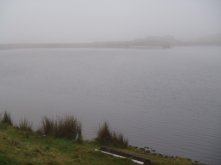
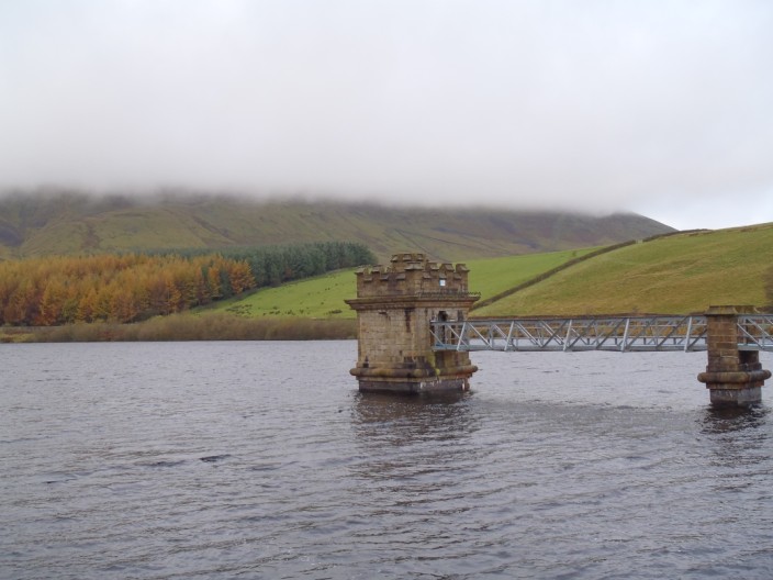
A misty start passing Churn Clough Reservoir
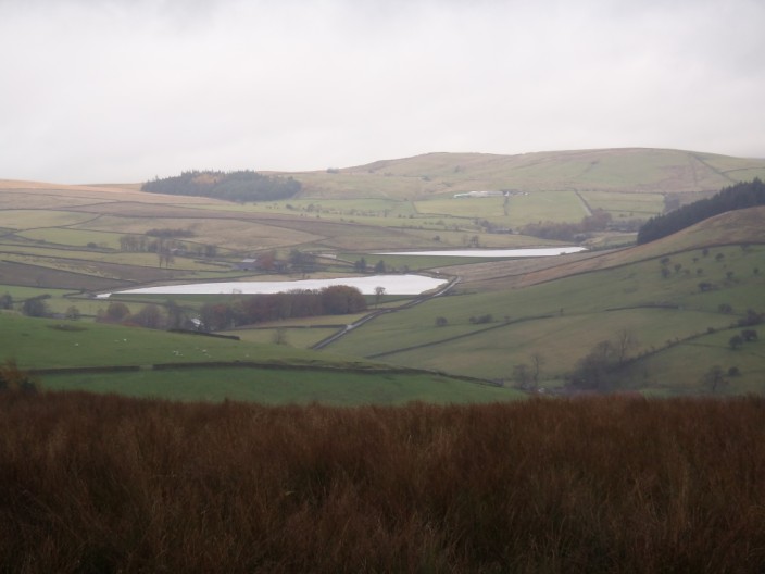
Clearer weather with views over the Black Moss Reservoirs
Descending past Fell Wood . . .
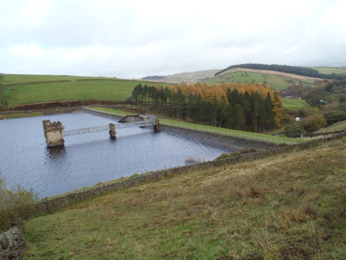
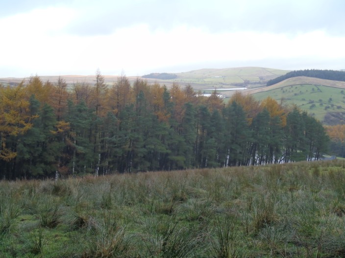
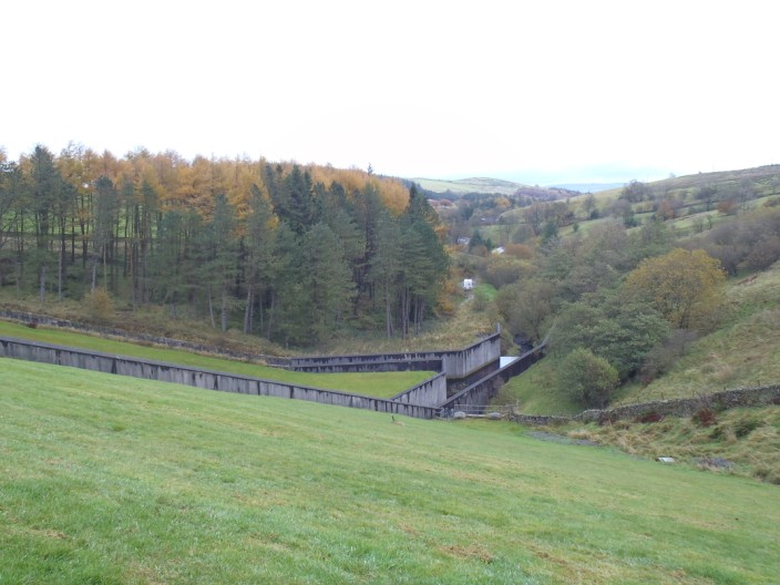
Lower Ogden Reservoir comes into view . . .
but Pendle Hill is still in mist
Lots of autumn colours around . . .
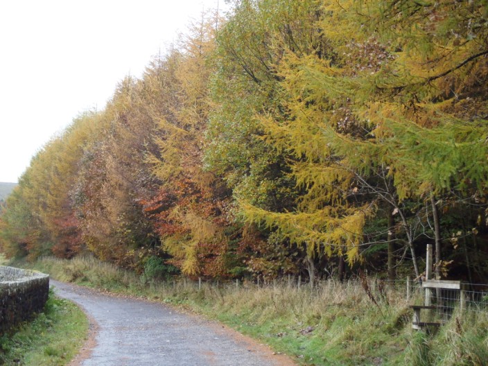
but a little sun would show them off better
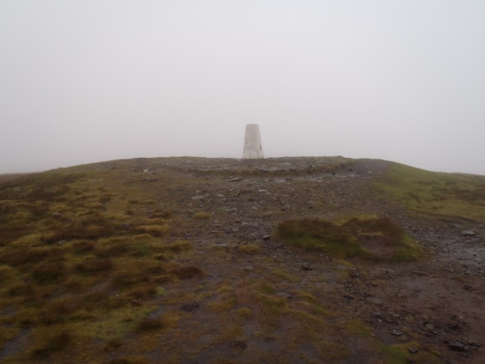
The cairn on Big End appears out of the mist . . .

and there are no views today
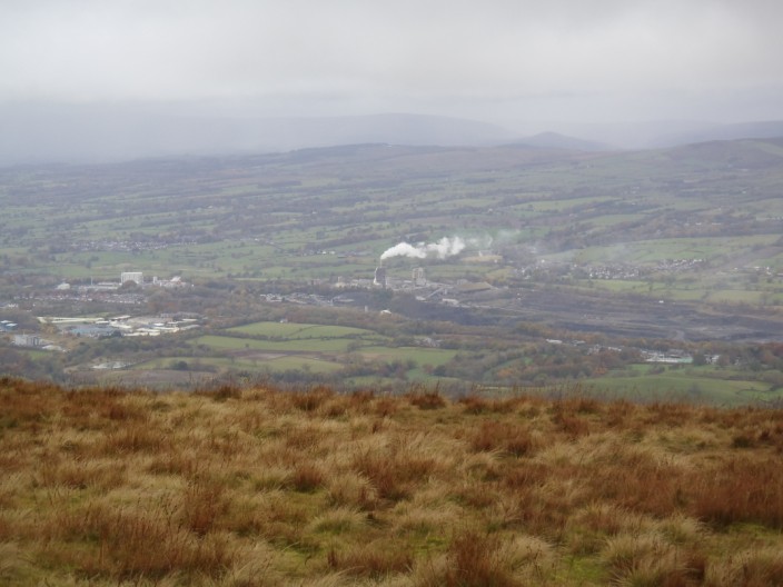
Walking into the wind - reflected by the smoke from Clitheroe cement
works
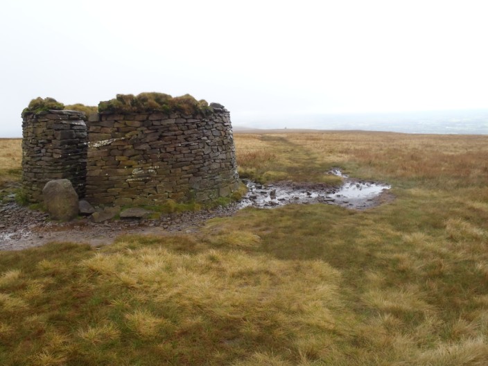
Passing the shelter . . .
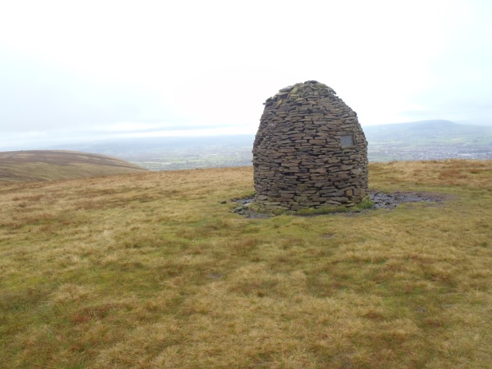
and then the Scout Cairn
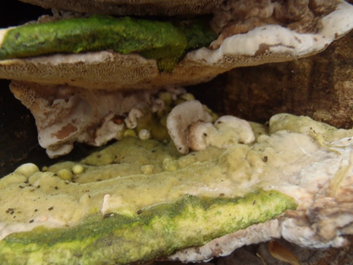
A strange plant?
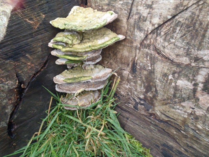
No, just a close up of a bracket fungus . . .
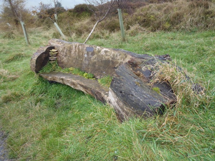
on a wooden bench near the car park
Return to top Return to 2012 Diary
|