Tuesday, 13th October 2015
| Walk: | Cumbria Way, Stickle Ghyll, Stickle Tarn, Easy Gully, Pavey Ark, Harrison Stickle, Pike of Stickle, Martcrag Moor, Stake Gill, Cumbria Way | ||
| Start Point: | Old Dungeon Ghyll Hotel (£3 if you use the hotel car park) | Grid Reference: | NY 286 060 |
| Distance: | 9 miles | Ascent: | 2,930 feet |
| Time: | 7 hours | ||
| Weather: | Sunny and mild with a light but cold breeze in exposed places | ||
| Comments: | I have visited the Langdale Pikes a number of times but have never approached it via Stickle Ghyll so I finally decided to put that right. I was pleased to find that the route was well stepped and would be easy to descend as well as ascend. The weather was perfect for taking photos of Stickle Tarn and the summits but it was hazy in the distance. Another change to my usual route to cross Martcrag Moor and descend via Stake Gill to Mickleden Beck adn return via the Cumbria Way. | ||
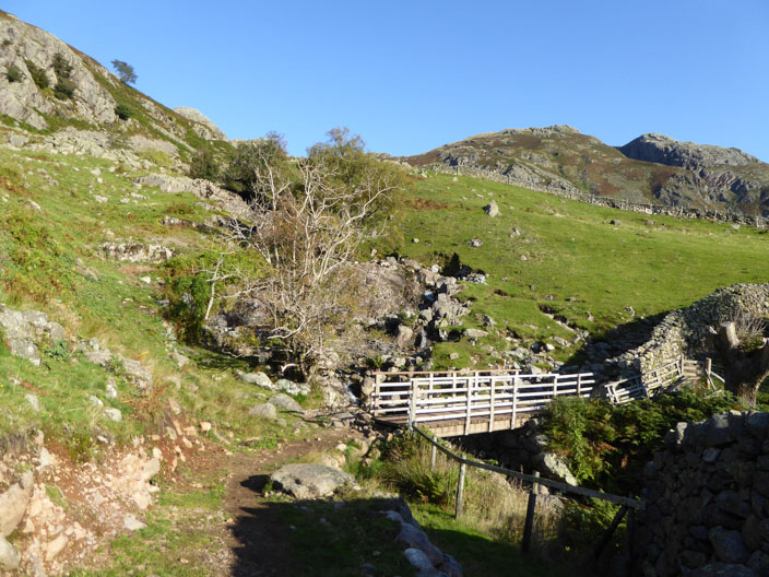
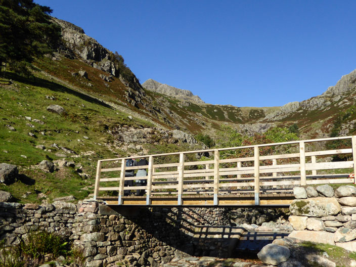
Crossing Dungeon Ghyll
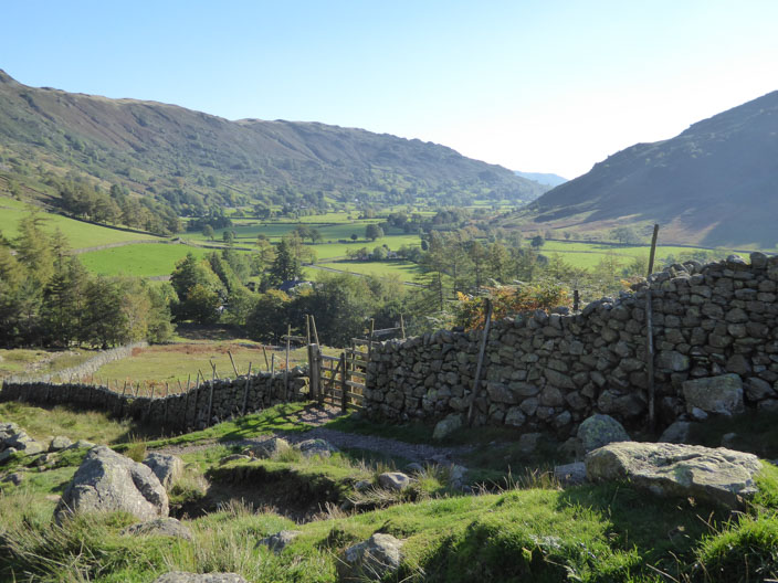
Langdale Valley
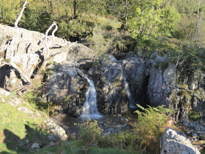
Stickle Ghyll waterfall - a good area . . .
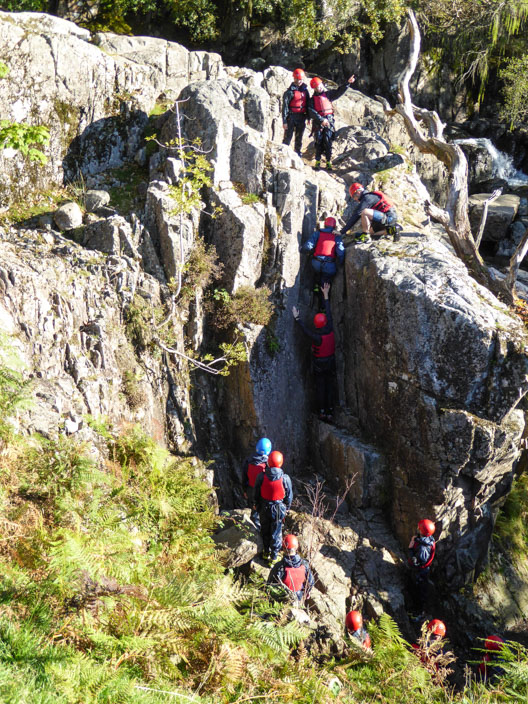
for 'canyoning' activities . . .
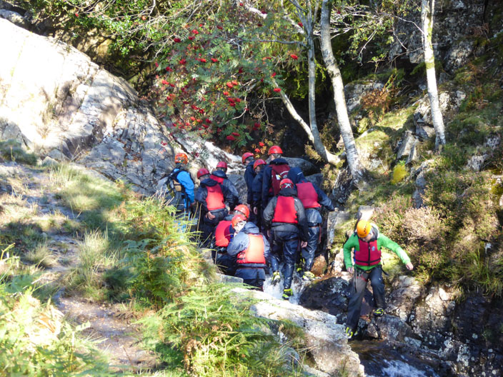
as a second group head up the beck
Higher up there is a choice to stay on the left but I followed the main path to the right of the beck
I hope he's not thinking about climbing the rock wall . . .
thankfully he decides to go around having so far followed the beck instead of the path

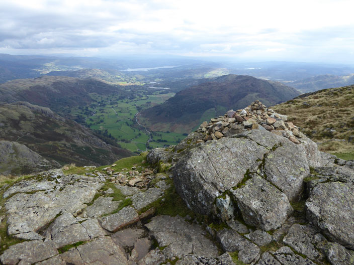
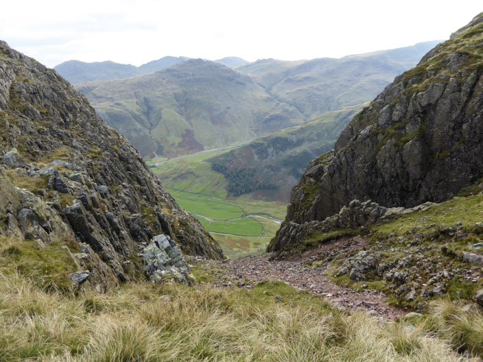
Looking back down the path to the valley

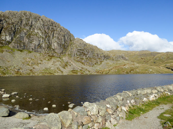
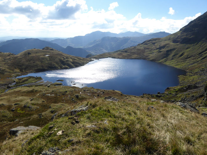
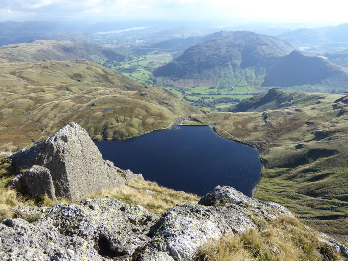
Harrison Stickle from Stickle Tarn dam wall
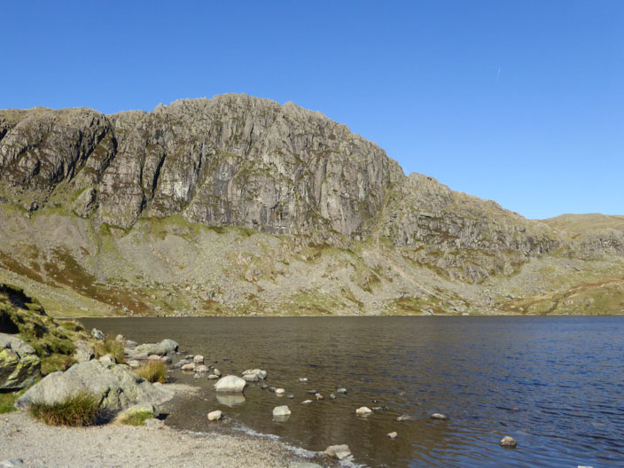
Pavey Ark overlooking Stickle Tarn
What a view for my morning coffee stop!
And again
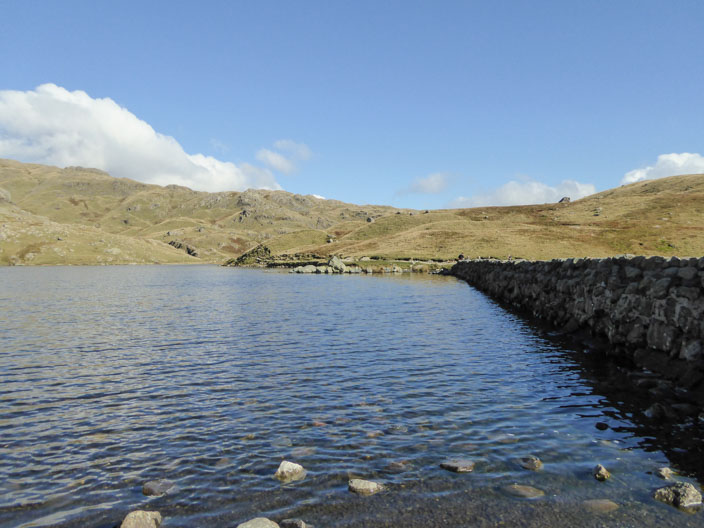
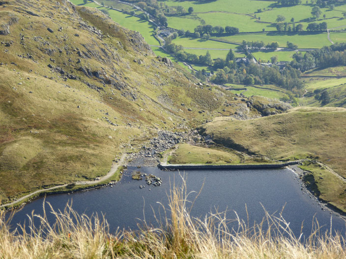
Stickle Tarn dam wall . . .
and from the other side
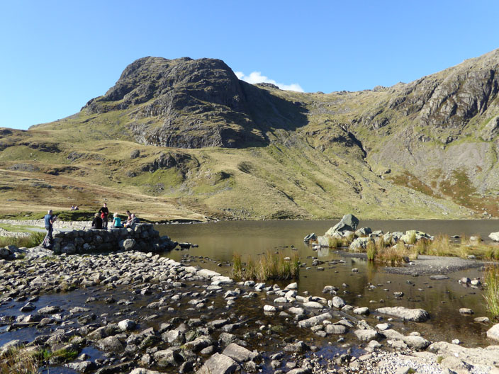
Quite a popular spot today
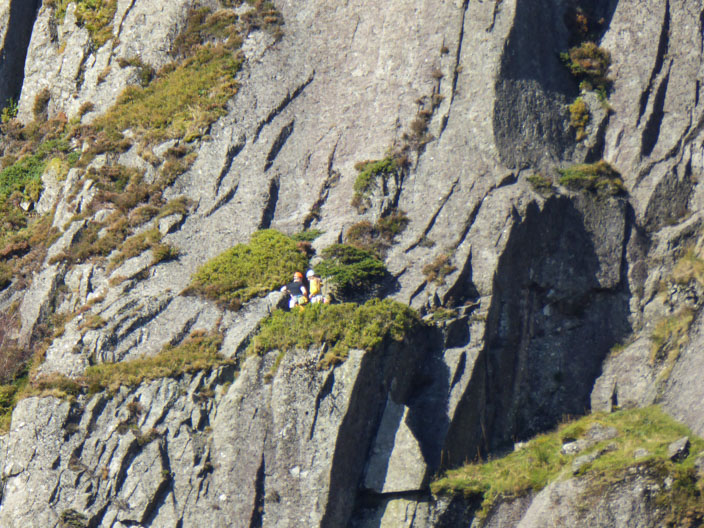
Hearing a shout for help I zoomed in on the rock face of Pavey Ark but could only find these rock climbers

A little further along I took this photo looking into Jack's Rake . . .
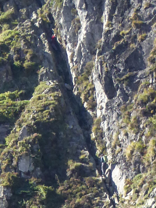
but it was only when I zoomed in further that I spotted two climbers on the middle section. I met them later on Harrison Stickle and found out that the man at the top in red was stuck and the man near the bottom helped him the rest of the way up
Stickle Tarn from the climb up Easy Gully . . .
and in the opposite direction . . .
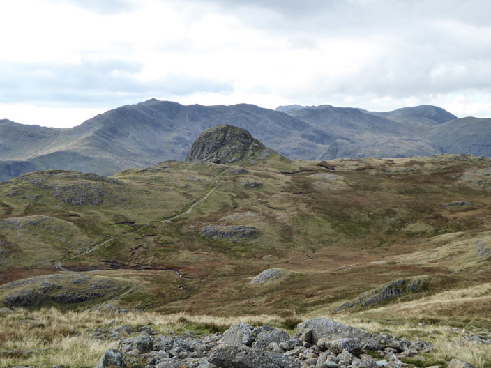
Sergeant Man can be seen
Pavey Ark with Harrison Stickle to the right . . .
and me
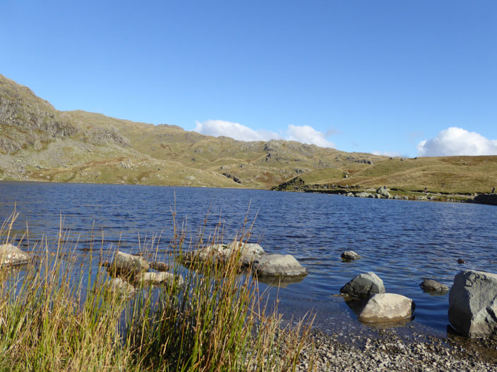
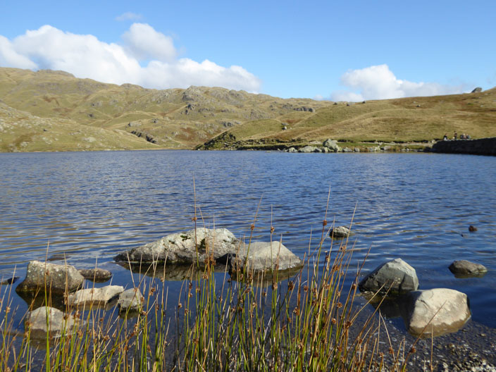
Stickle Tarn . . .
from my lunch spot
The sun highlights Pavey Ark as I cross to . . .
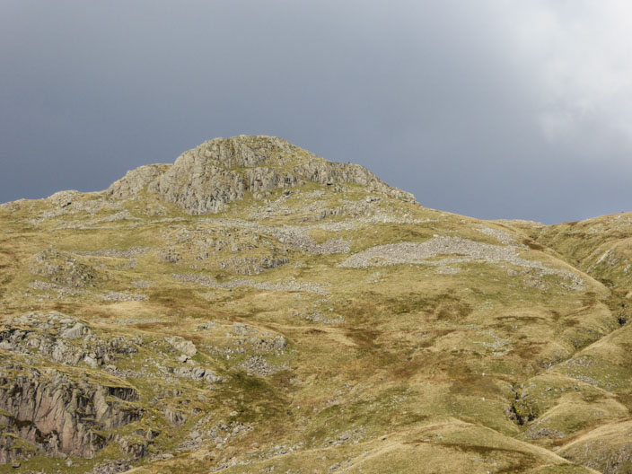
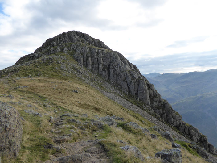
Harrison Stickle . . .

and capture another summit photo
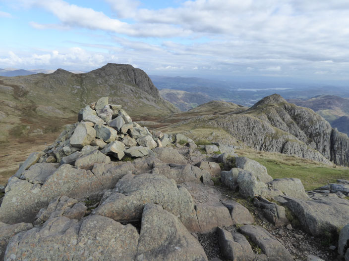
Pike of Stickle where Neolithic workers quarried and shaped volcanic greenstone rock into blanks that were traded around the country, some of the blanks being used to make axe heads
The scree slope between Gimmer Crag on the left and Pike of Stickle on the right represents the spoil from the axe quarrying activities
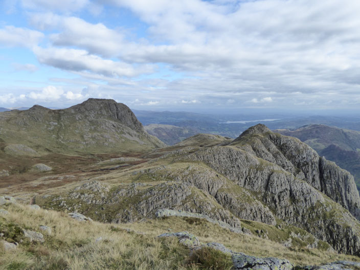
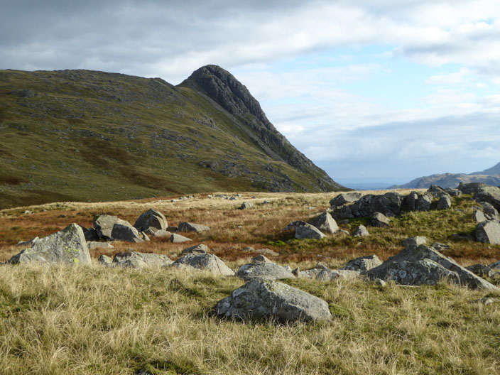
Harrison Stickle to the left and Loft Crag to the right (not visited today)
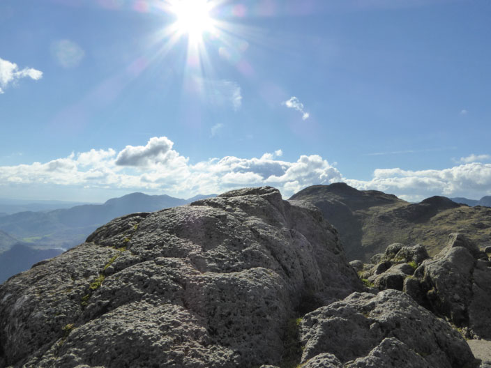
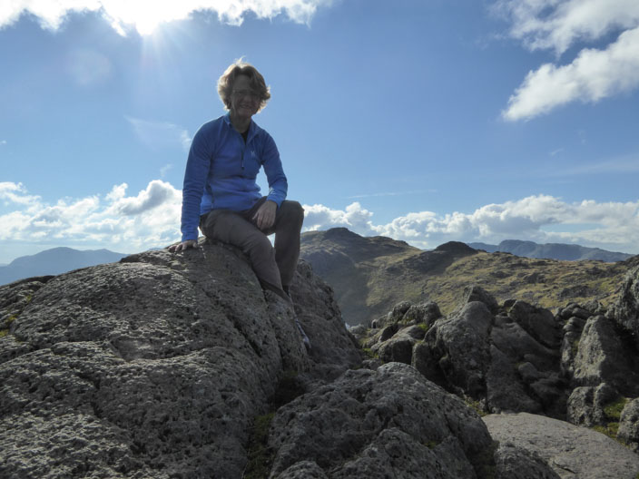
Pike of Stickle . . .

and me!
Leaving Pike of Stickle behind . . .
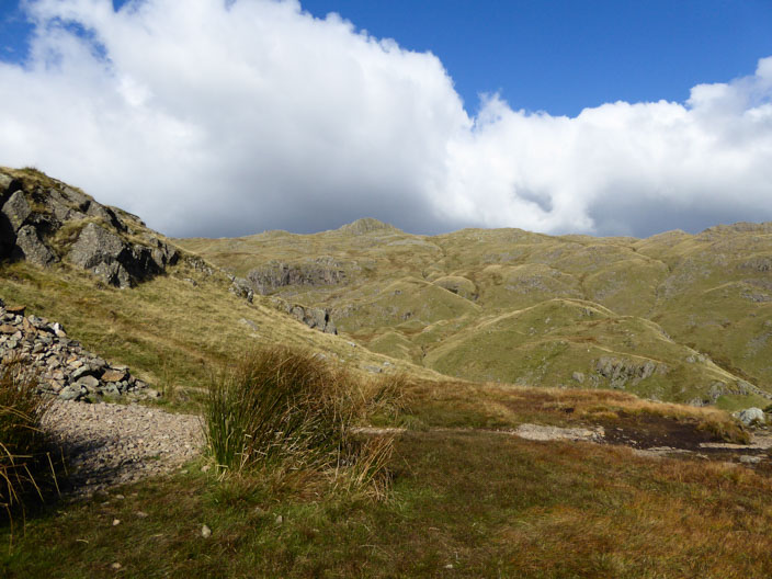
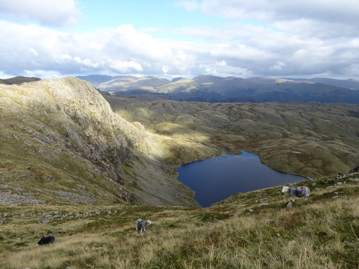
I cross Martcrag Moor . . .
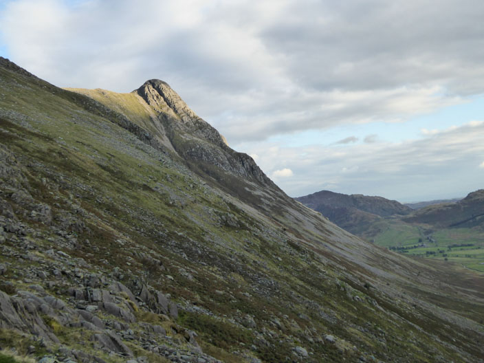
to head down Stake Gill - as the sun highlights Pike of Stickle