Tuesday, 1st September 2015
| Walk: | Stonethwaite Bridge, Withygrass Gill, Dock Tarn, Watendlath, Brund Fell (Grange Fell), Kings How, Cummacatta Wood, Bowder Stone, Cumbria Way, Stonethwaite Bridge | ||
| Start Point: | Stonethwaite lay-by | Grid Reference: | NY 260 139 |
| Distance: | 9.8 miles | Ascent: | 2,400 feet |
| Time: | 7 hours | ||
| Weather: | Intermittent sun and cloud | ||
| Comments: | A walk of two halves, the first to Watendlath a pure delight and the second, over Grange Fell, an exercise in route finding and a very steep descent! A rocky path took me up the fell into heather and bracken covered hillside to the perfect stopping place at Dock Tarn. A rocky path continued on to Watendlath, a haven in the hills (pity you can also drive to it!) From here the route was indistinct and boggy in places but the rocky stepped descent through Cummacatta Wood needed a lot of care. I then returned to the car using the Bowderstone path and a section of the Cumbria Way, with a little road walking in between. | ||
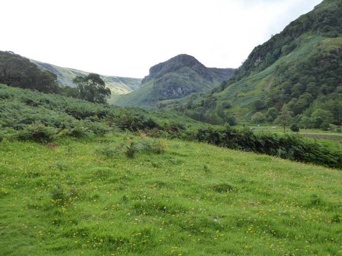
Eagle Crag at the end of the Stonethwaite Valley
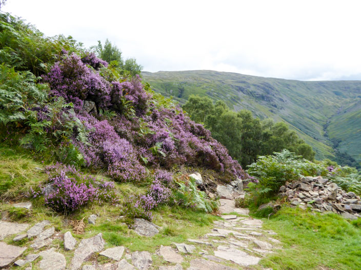
A good path leads up Willygrass Gill . . .
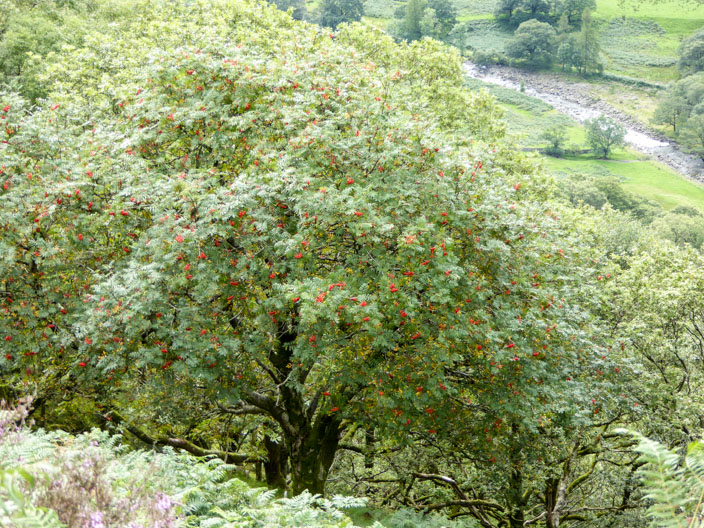
past a Rowan tree . . .
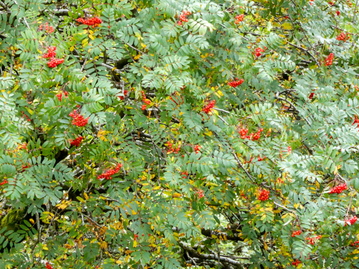
full of berries
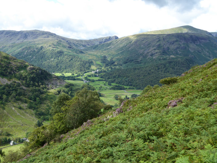
Higher up Borrowdale and the Honister Pass come into view
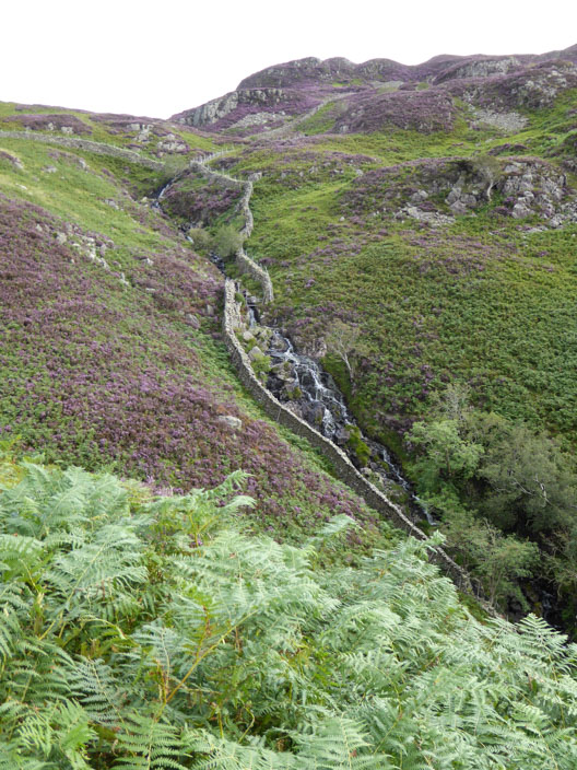
Willygrass Beck . . .
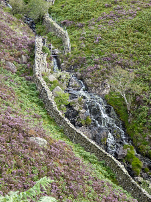
where the water tumles over the rocks . . .
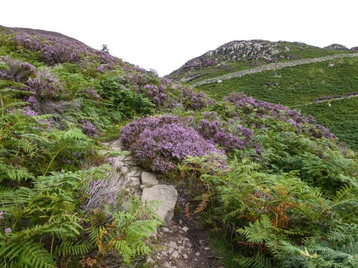
and the path continues through the heather
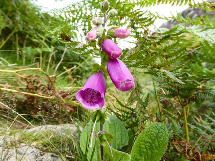
Lonesome foxglove
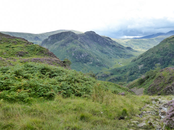
Looking back to Eagle Crag and Sergeants Crag
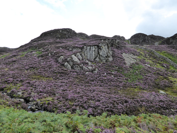
The hillsides are an absolute delight . . .
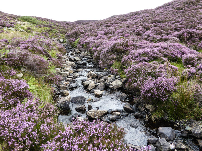
as the beck flows by
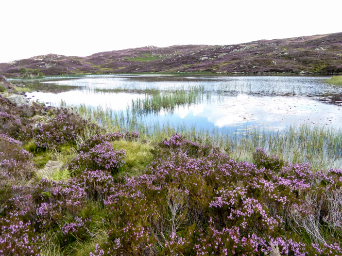
Dock Tarn . . .
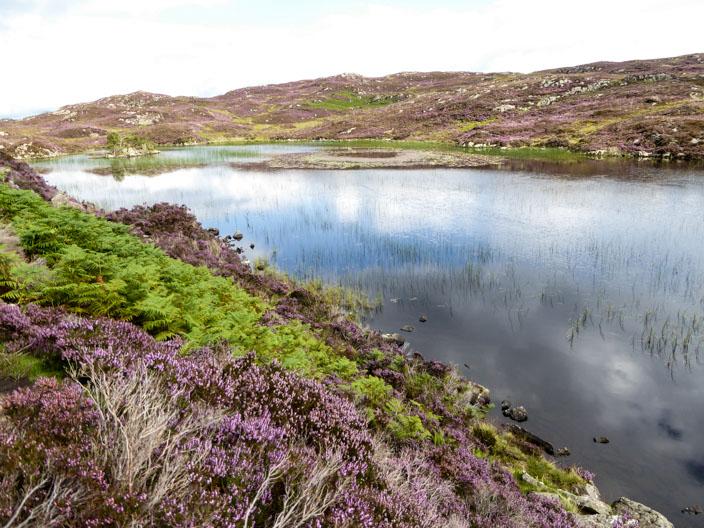
from the southern end . . .
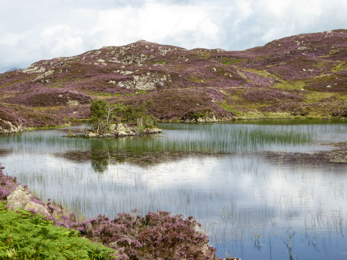
and zooming in on the island at the northern end
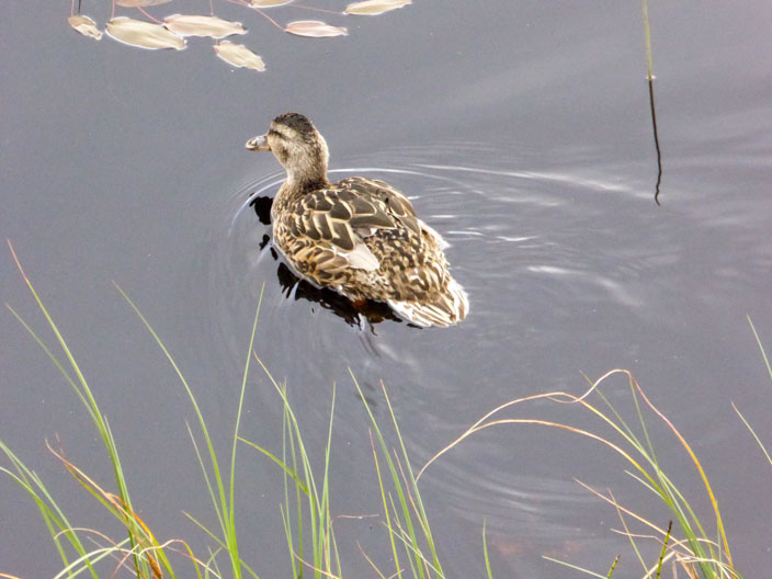
Choosing a comfortabke spot for a break I am surprised by a duck swimming out below me (photo zoomed in) . . .
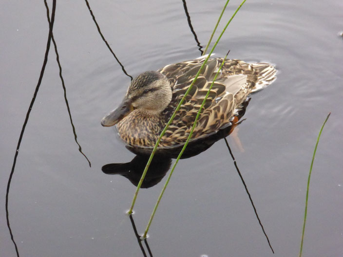
so I spend some time . . .
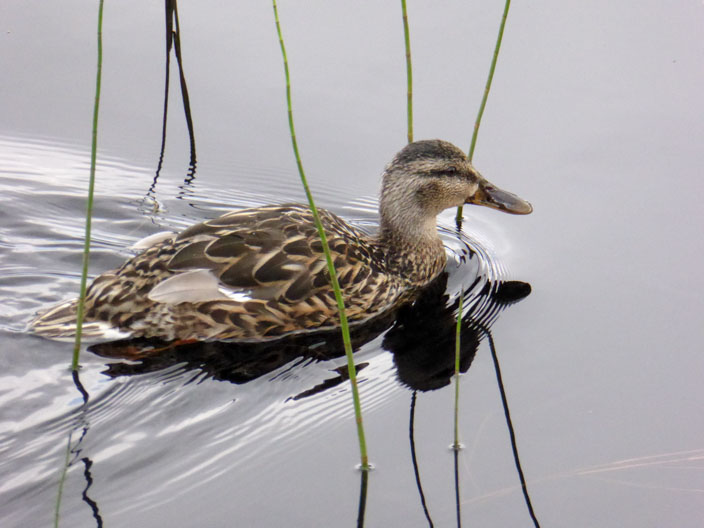
just enjoying its deliberations . . .
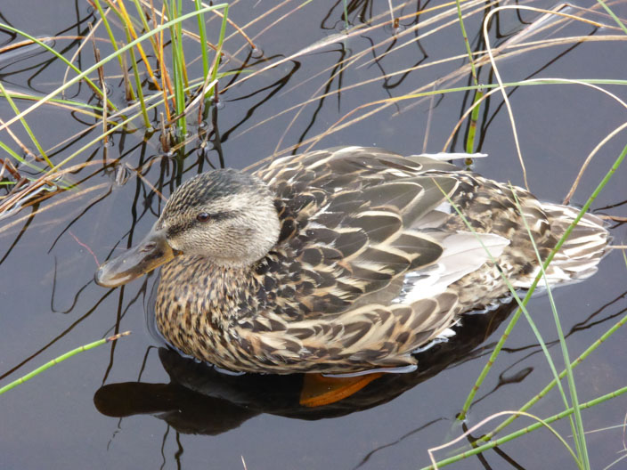
just swimming around and collecting a few midges from the water
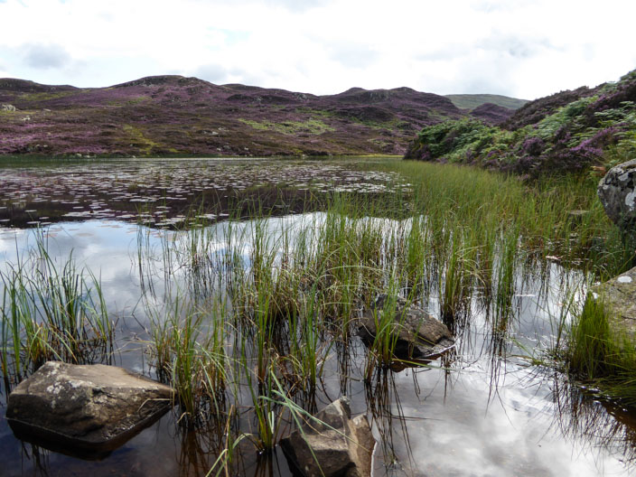
After walking to the northern end of the tarn . . .

has the duck followed me or is this another one?
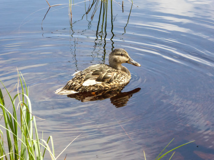
It, too, enjoys a little meander on the water
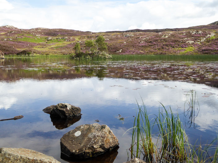
A alst look across the tarn before I leave
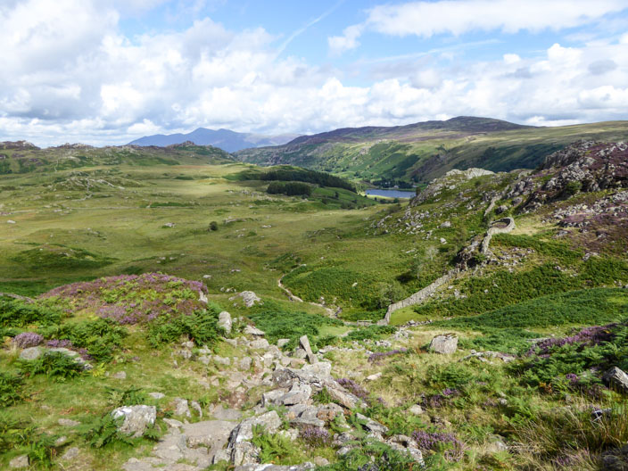
Reaching the top of a steep descent Watendlath comes into view . . .
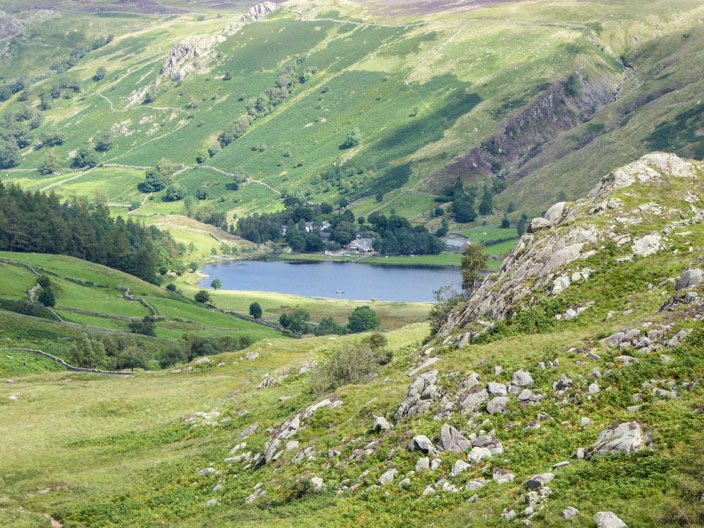
as I zoom in on the tarn
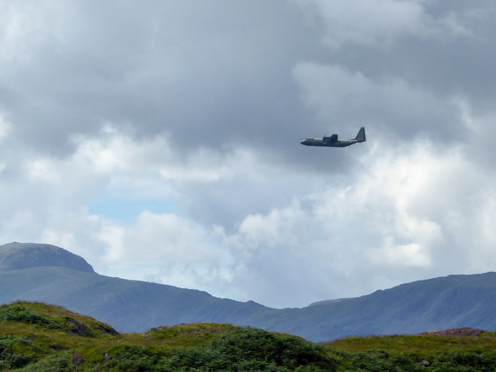
Warned by the noise I am lucky two catch . . .
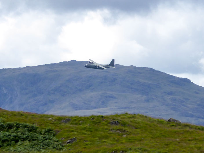
not one . . .
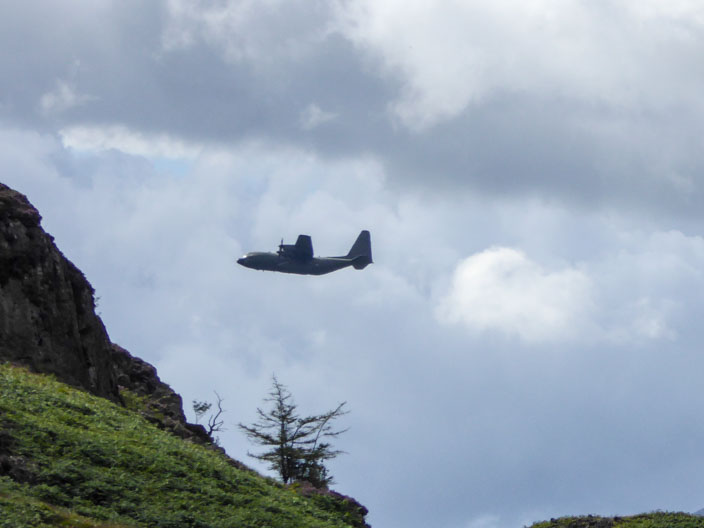
but two planes heading down the Borrowdale Valley
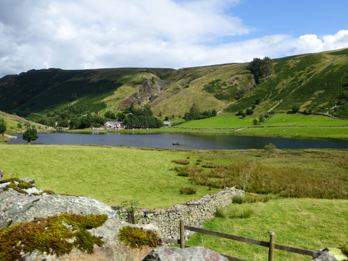
What an idyllic setting . . .
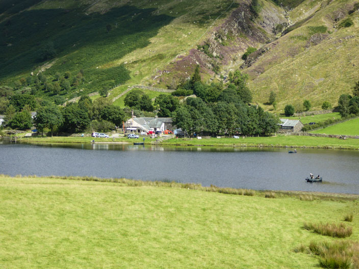
for Watendlath Farm . . .
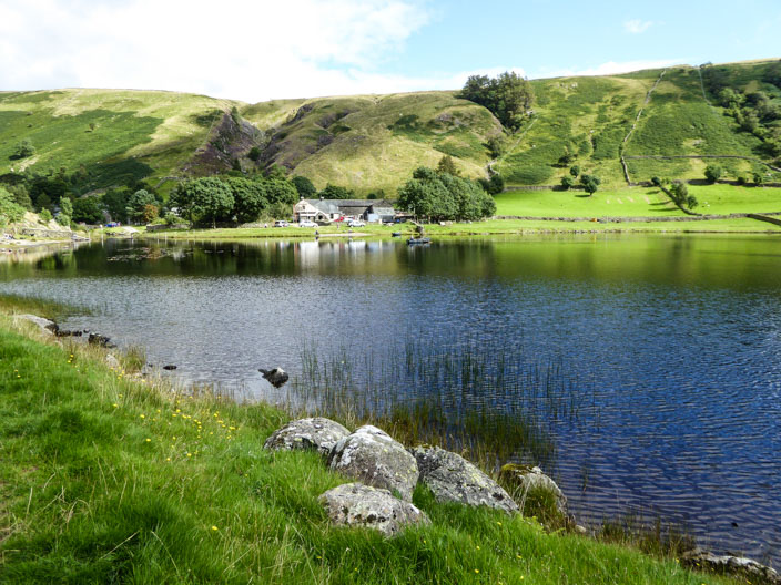
and Watendlath Tarn . . .
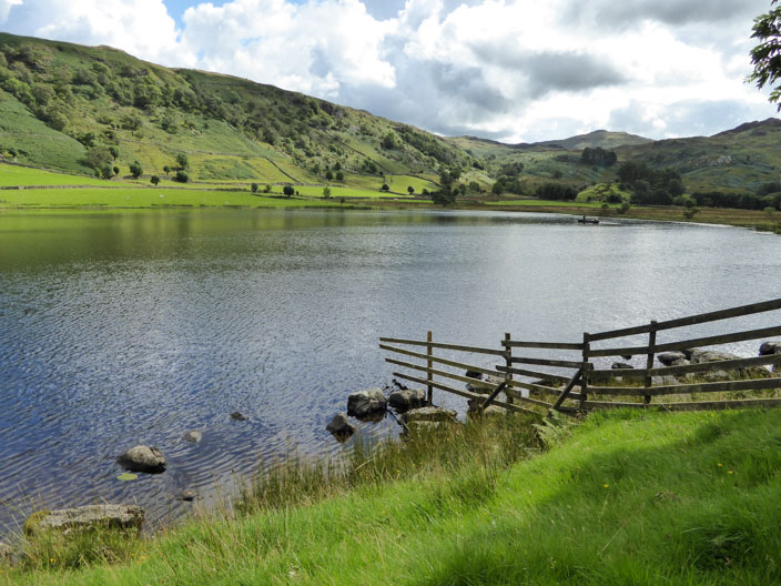
and the sun enhances the scene
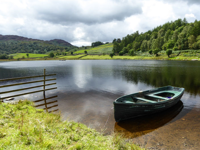
At the opposite side of the tarn . . .
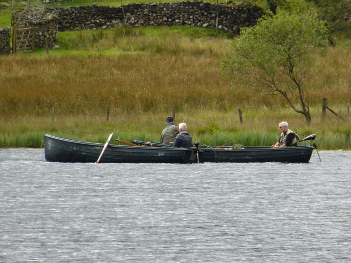
I zoom in on three men in a boat - fishing
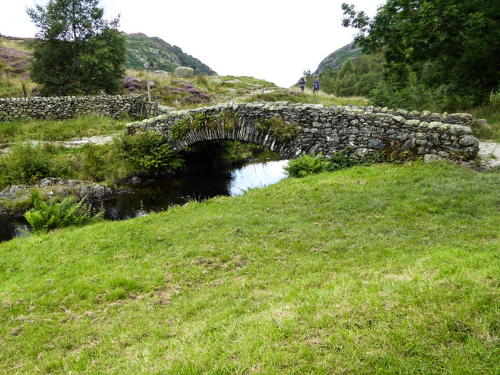
Then it's time to inspect the bridge . . .
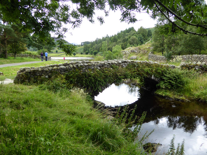
from both sides . . .
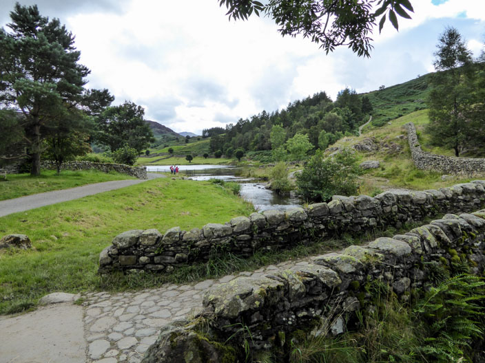
and try a different angle
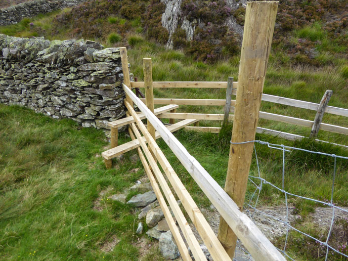
On the way to Brund Fell, the highest point on Grange Fell, I find a double stile - but as I soon find out, it isn't the one I need to cross!
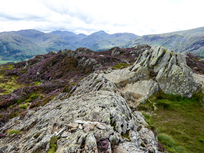
Before long I reach the summit which has the makings of a cairn . . .
or should I say 'a few rocks piled together' . . .
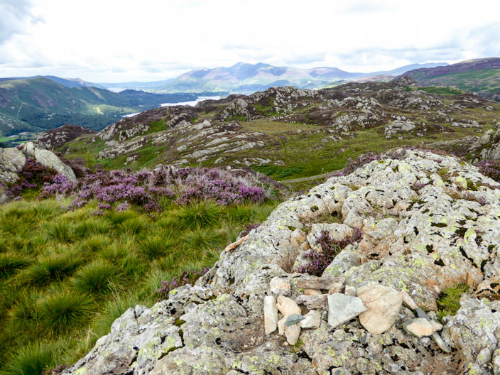
a northern top looking towards Skiddaw . . .
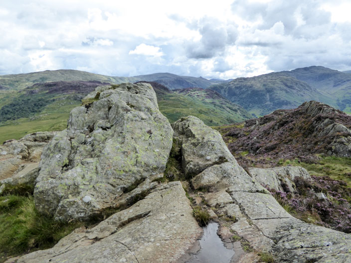
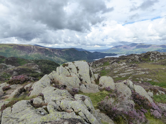
and a southern top which is the highest one by about 2 feet . . .
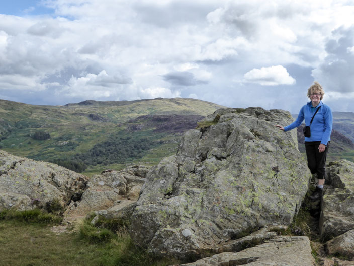
so this is the one I choose for my summit photo
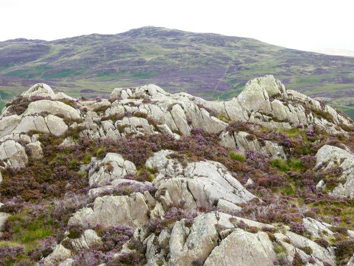
As I leave a vantage point clearly shows the structure of the summit, with the northern top to the left and the southern top to the right with the ridge holding the little pile of stones in the middle
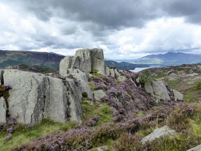
Then I spot another rocky outcrop - but this looks inaccessible
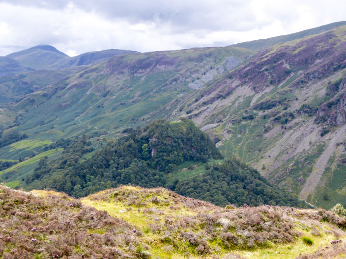
Approaching Kings How I have a good view of Castle Crag . . .
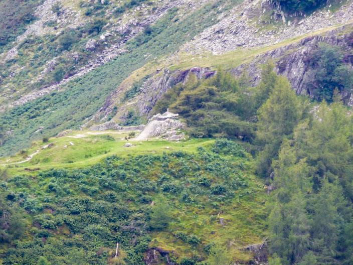
with its memorial rocky outcrop on the top
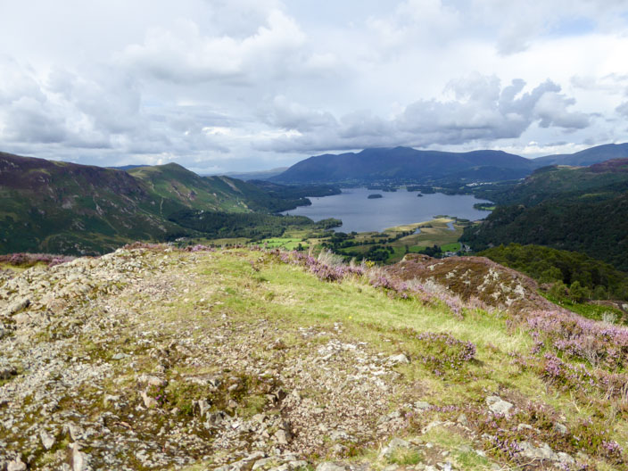
The sun catches the summit of Kings How as I look north . . .
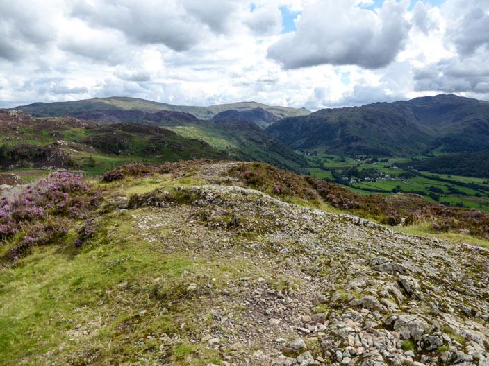
and south . . .
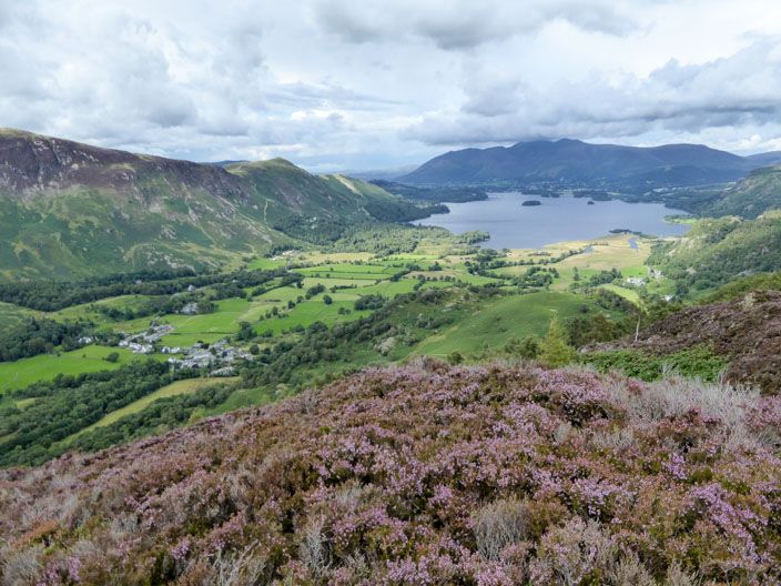
then find a vantage point that looks down to Derwent Water and Borrowdale
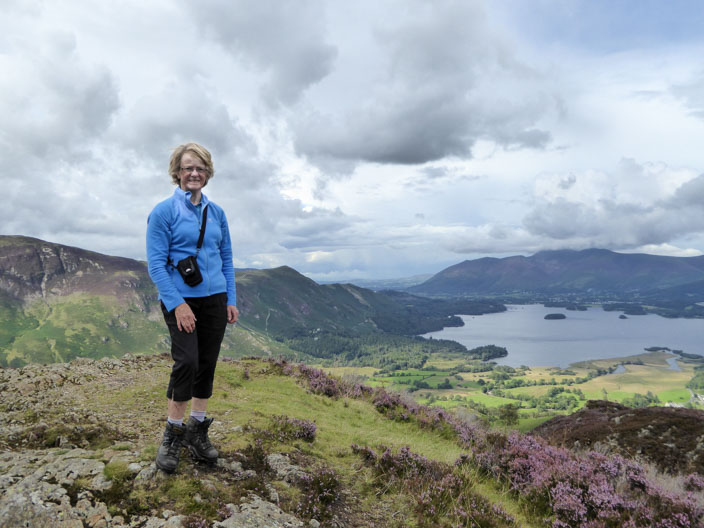
Time for a summit photo before I head down through Cummacatta Woods - no photos there!
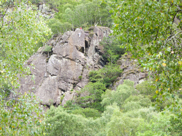
From The Bowderstone car park I spot a couple of rock climbers . . .
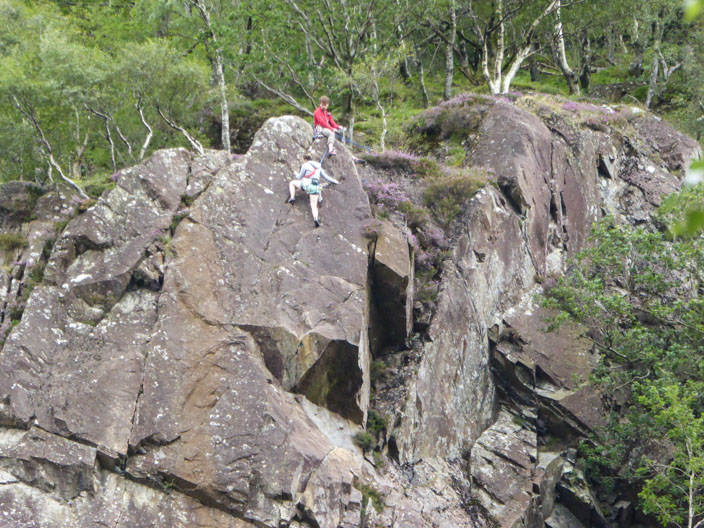
who have almost reached the top . . .
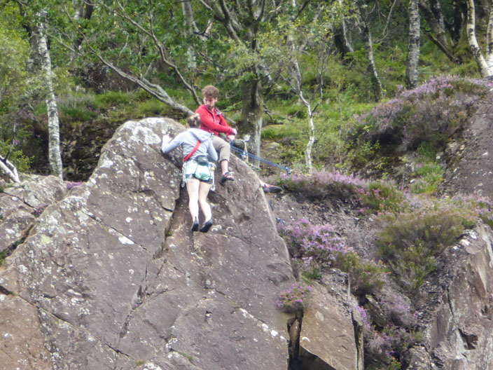
of their climb . . .
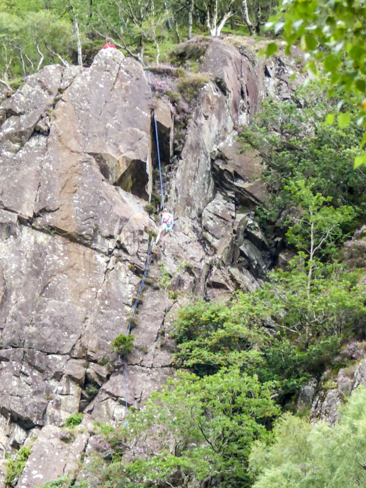
then it's the quick way down . . .
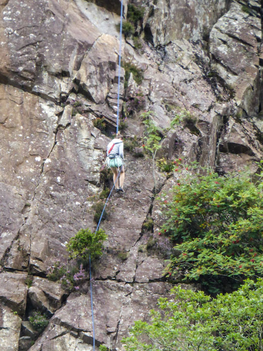
at least for the girl
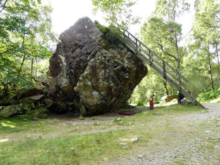
The Bowderstone - a delicately balanced rock most likely carried here from Scotland by the glaciers of the Ice Age
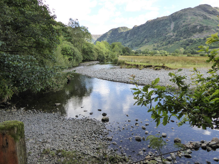
The Cumbria Way takes me beside Stonethwaite Beck . . .
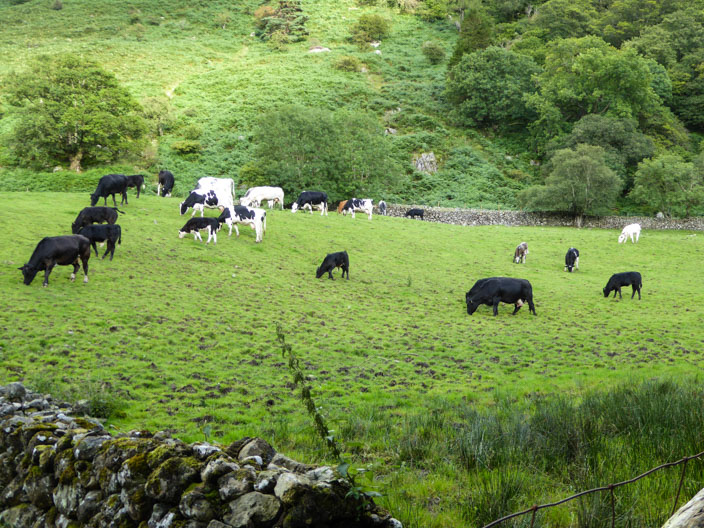
and past a number of cows . . .
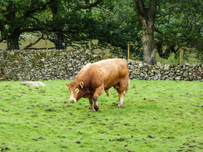
overseen by . . .
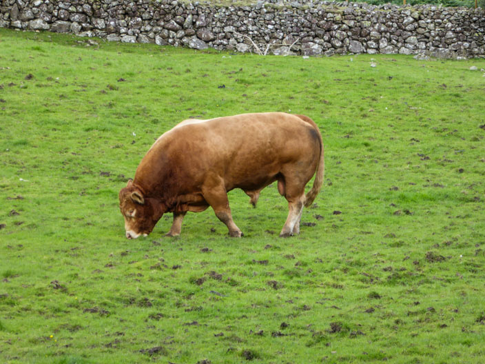
a very big boy!

And back to where I started . . .
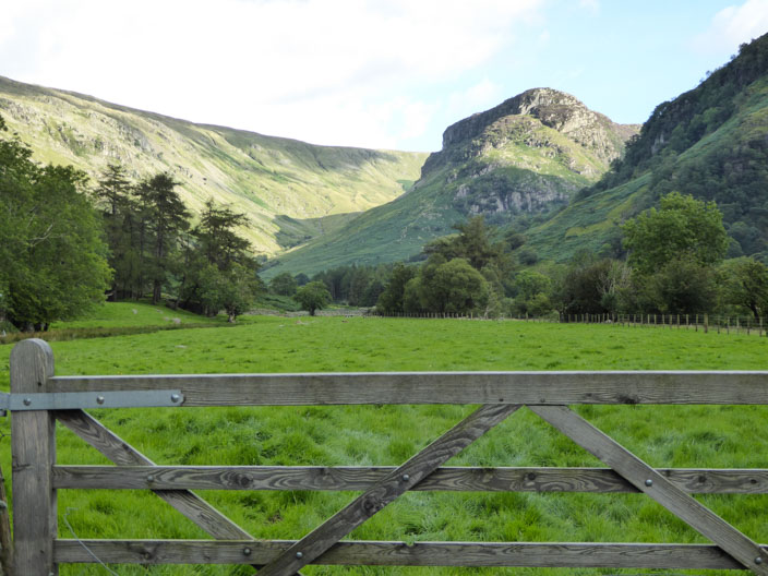
with another view of Eagle Crag