Sunday, 16th July 2017
| Walk: | Dales Highway, Calders, The Calf, Long Rigg Gill, Long Rigg Beck, Howgill Lane | ||
| Start Point: | Sedbergh, Howgill Lane | Grid Reference: | SD 655 923 |
| Distance: | 11 miles | Ascent: | 3,200 feet |
| Time: | 5.5 hours | ||
| Weather: | Sunny with a cool wind on the tops | ||
| Comments: | Following the Dales Highway it was a long climb before we found a sheltered spot to stop for elevenses, enjoying great views. Making our way back to the path the wind seemed stronger and cooler as we continued on to Calders. A brief stop at the cairn gave us time to enjoy the distant views and take photos. Then it was on to Calf Top with more views to be enjoyed and photos taken. From here the path was more indistinct and though we could see where we wanted to be the only option was to make our own way down to the beck, navigating uneven ground, low growing bilberry and ankle grabbing ferns. After a relatively short time we found an ideal spot beside the beck for lunch. We had been warned that there was a beck to cross - which we had to do a number of times. Unfortunately one member of the party slipped on the banks of the beck and ended up with a broken radius and ulna, though we did not realise it was broken at the time. After first aid treatment and the men, in turn, shouldering the burden of an extra backpack, we reached the road and took the shortest route back to the cars. We wish the 'wounded soldier' a speedy recovery. | ||
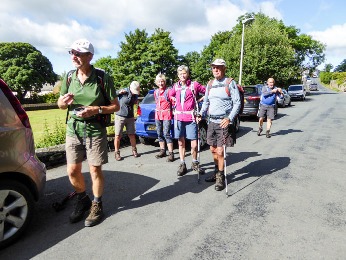
Ready for the 'off'

Climbing along the Dales Highway . . .
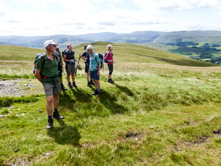
we are treated to views looking south . . .
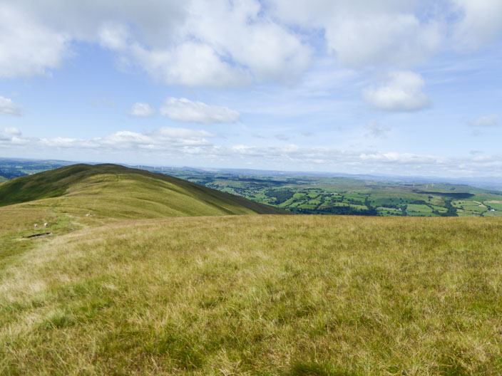
with perfect light conditions
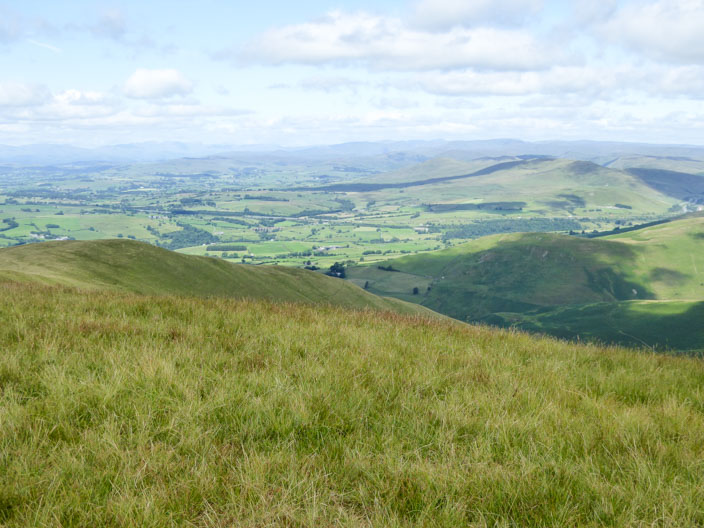
The Lakeland Fells can be seen in the distance . . .
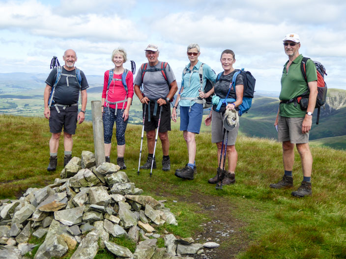
as we gather for a group photo on Calders . . .
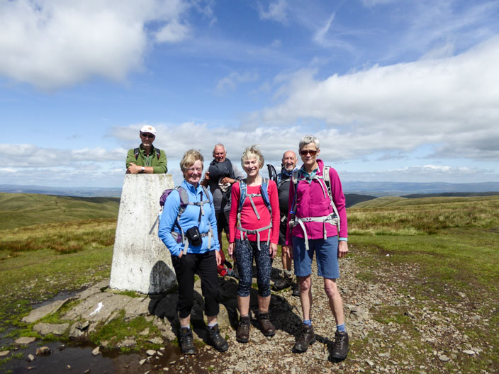
and again on Calf Top . . .
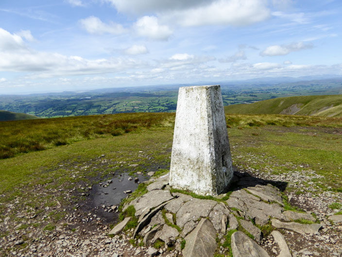
with more views