Thursday, 2nd November 2017
| Walk: | Warrendale Knotts, Sugar Loaf Hill, Lambert Lane, Brockhole Lane, Settle, Ribble Way | ||
| Start Point: | Langcliffe car park | Grid Reference: | SD 823 651 |
| Distance: | 7 miles | Ascent: | 1,185 feet |
| Time: | 3.5 hours | ||
| Weather: | Mild with sunny spells | ||
| Comments: | A short walk to check a change of route for the next group walk due to very muddy sections. A pleasant walk with time to explore Settle. | ||
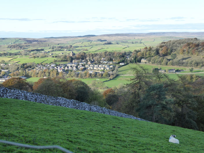
The Pennine Bridleway
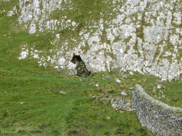
A small cave below Warrendale Knotts
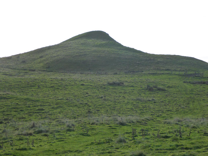
Sugar Loaf Hill is the next target . . .
and provides good views back to Warrendale Knotts . . .
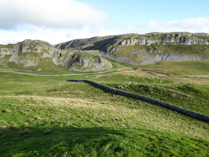
and Attermire Scar

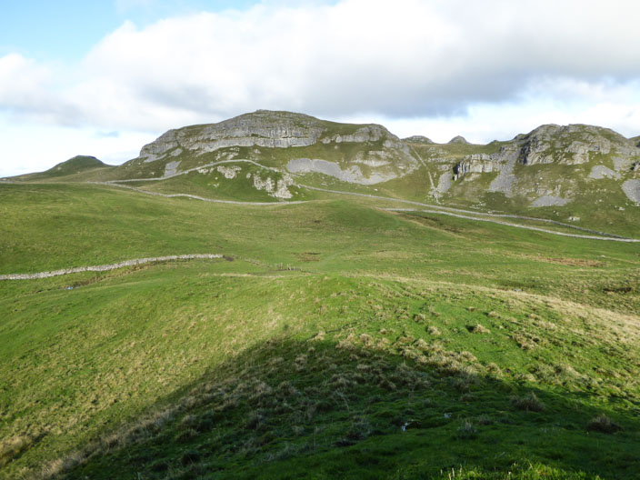
Looking back to Sugar Loaf Hill with Warrendale Knotts to the left
and Attermire Scar to the right
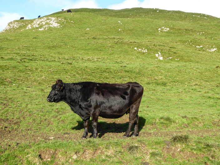
Frozen - but . . .
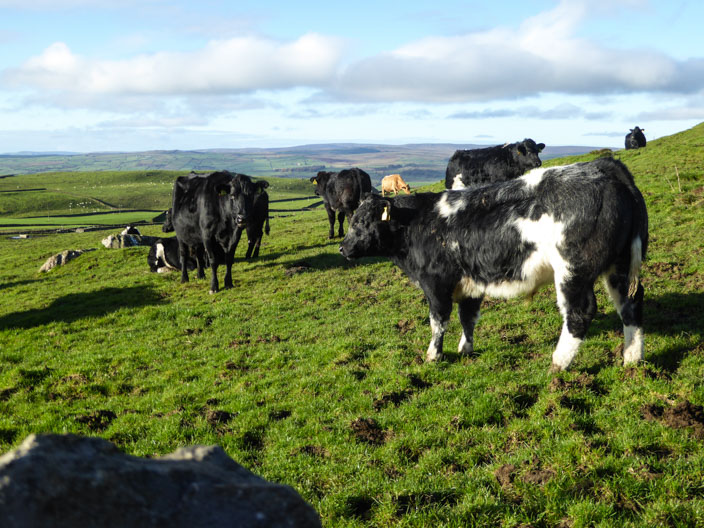
so is the rest of the herd . . .
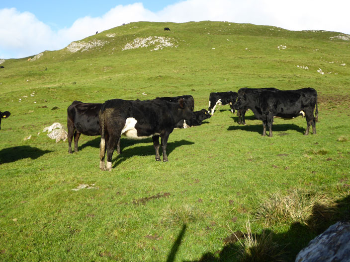
no matter in which direction . . .
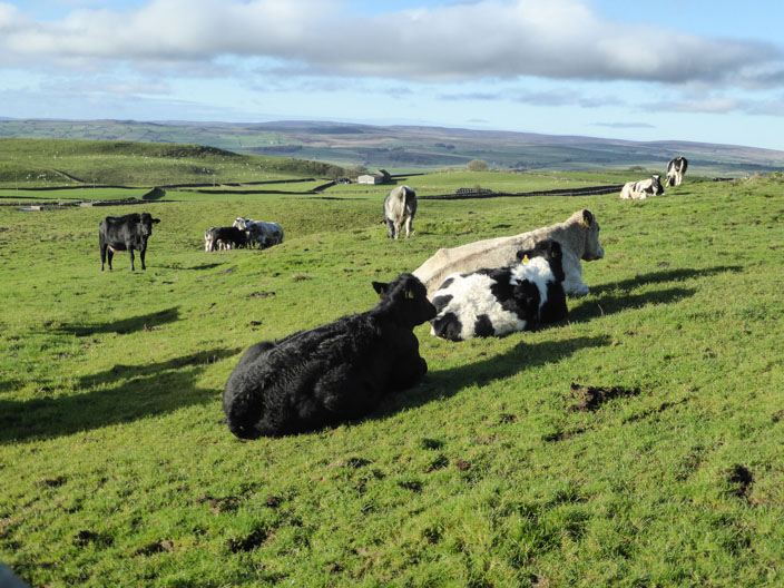
I look . . .
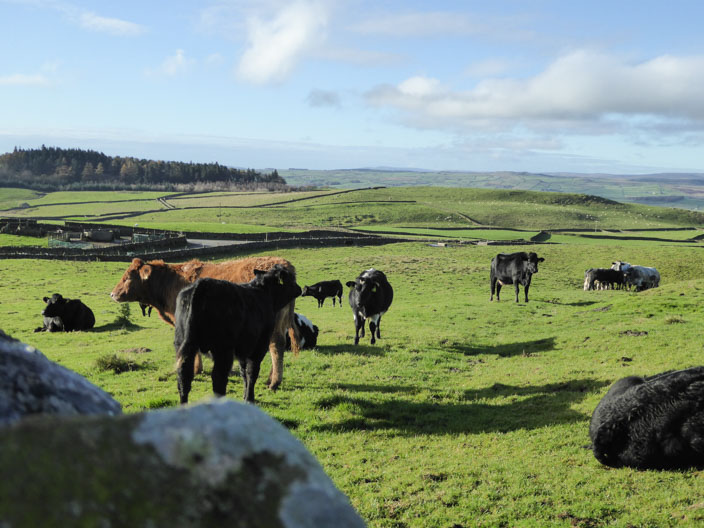
nothing is moving!!!
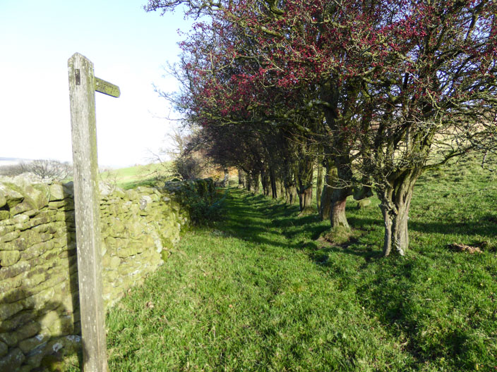
An impressive line of hawthorn trees . . .
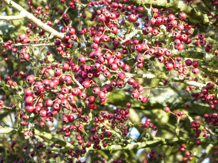
which are fully laden with red berries
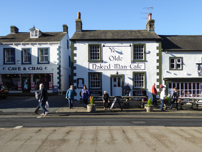
I think I'll give this one a miss
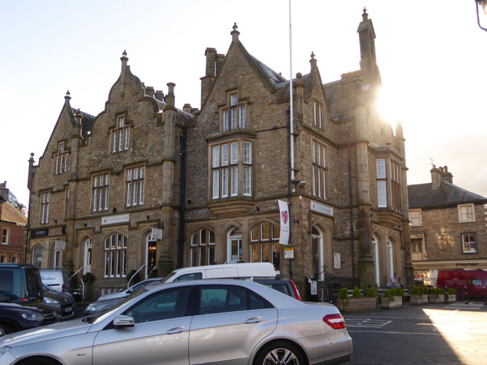
Settle Town Hall
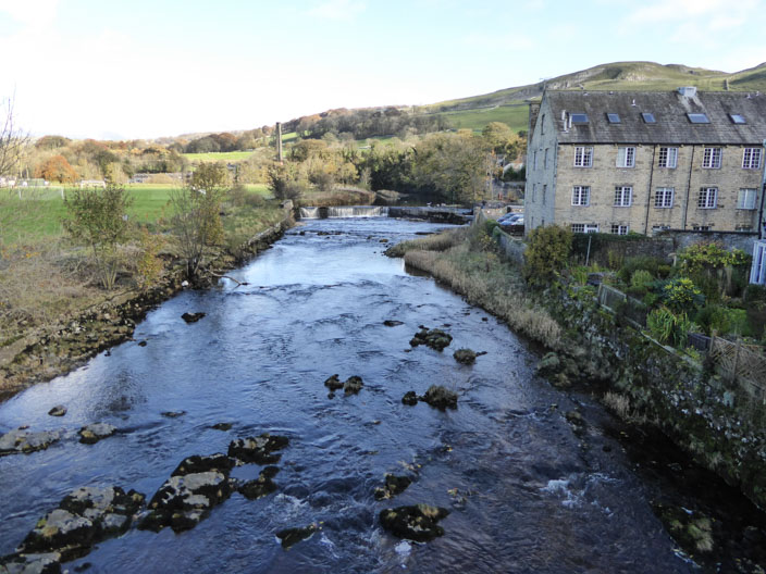
Crossing the River Ribble before following the Ribble Way . . .
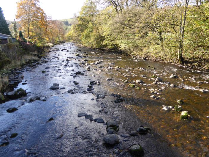
to cross back over . . .
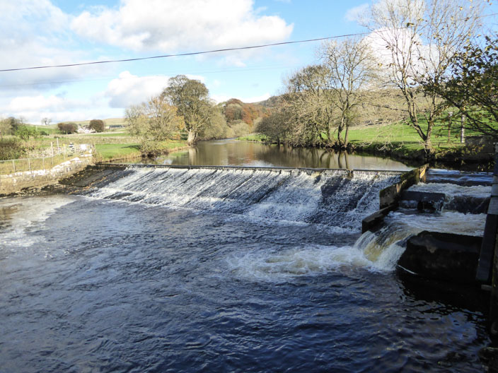
near the mill weir, originally built to ensure a water supply
to one of the many water mills in the Dales