Friday, 27th October 2017
| Walk: | Warrendale Knotts, Sugar Loaf Hill, Stockdale Lane, Hoober Edge, Long Lane, Malham Cove, Limestone Pavement, Watlowes, Langscar Gate, Pennine Bridleway | ||
| Start Point: | Langcliffe car park | Grid Reference: | SD 823 651 |
| Distance: | 15 miles | Ascent: | 2,800 feet |
| Time: | 7.5 hours | ||
| Weather: | Wall to wall blue sky in the morning with increasing cloud and wind in the afternoon | ||
| Comments: | With the best forecast for weeks I headed out to recce my next group walk, this route being previously completed a few times in the opposite direction. A very boggy section after Warrendale Knotts was so boggy that it will need to be changed for the group! On a later section I had no recollection of the surroundings - but it was just the different perspective that nearly fooled me!!!! Having taken my time exploring a few detours on the first part of the walk I returned at a brisk pace along the Pennine Bridleway. | ||
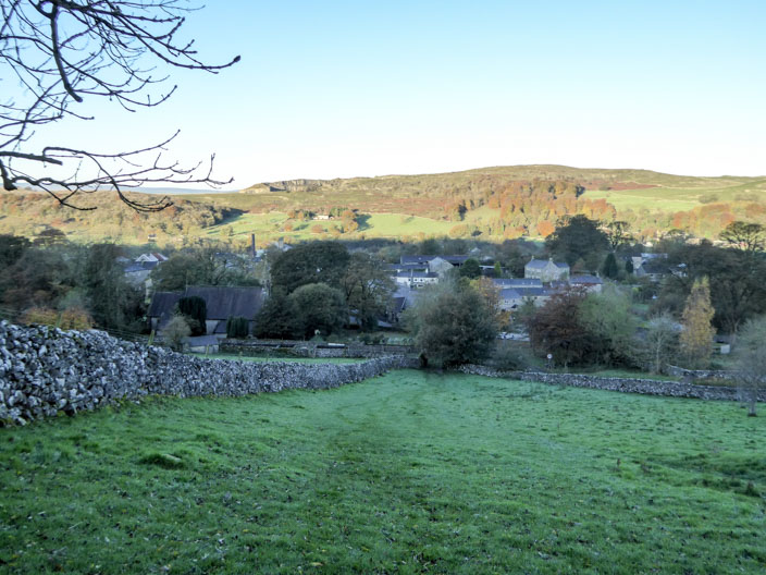
It looks like it's going to be a beautiful day as I look down on Langcliffe . . .

and Settle
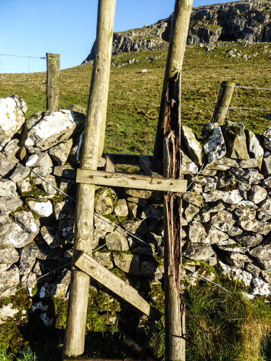
Glad I don't have to cross this stile!
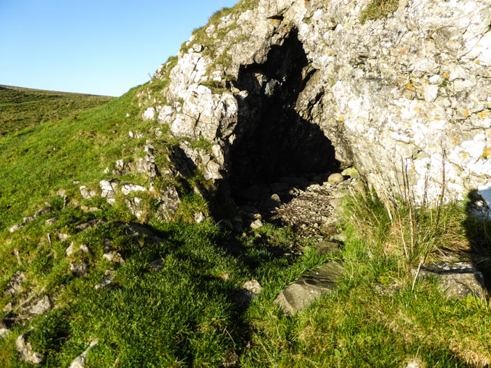
The sun and shade make it difficult . . .
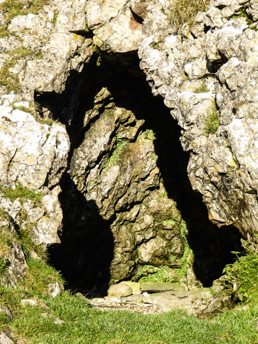
to get a clear photo of this cave

Pendle Hill doesn't look far from here
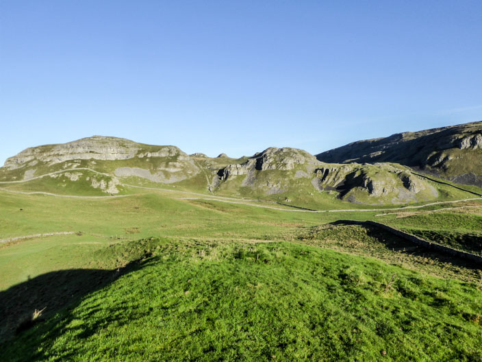
Warrendale Knotts . . .
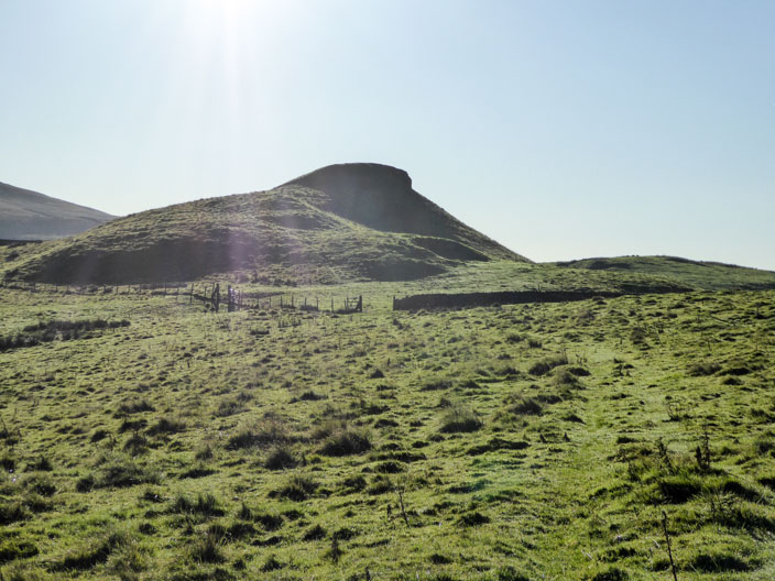
from Sugar Loaf Hill . . .
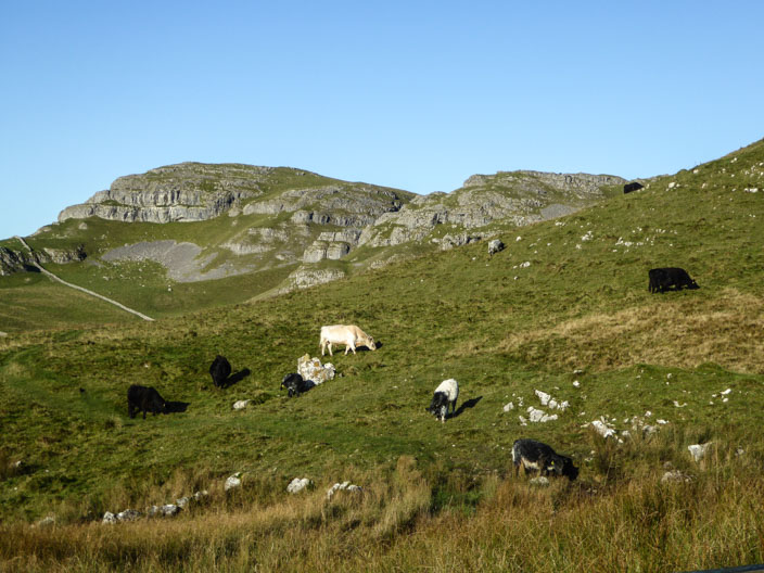
and again - from a very boggy section!
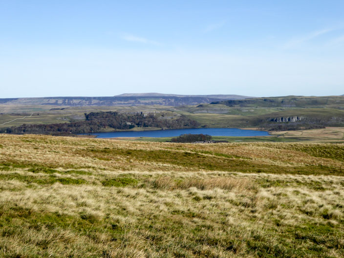
Malham Tarn looks inviting - but not on the route today
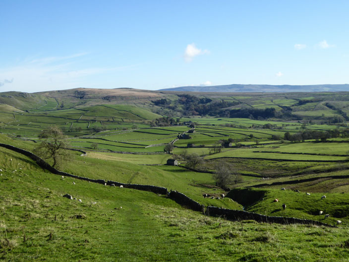
Looking towards Gordale Scar - not on today's route
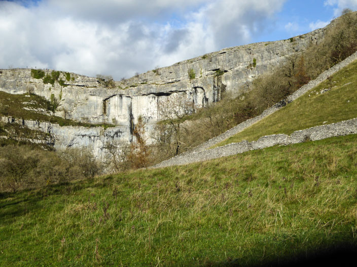
Malham Cove comes into view . . .
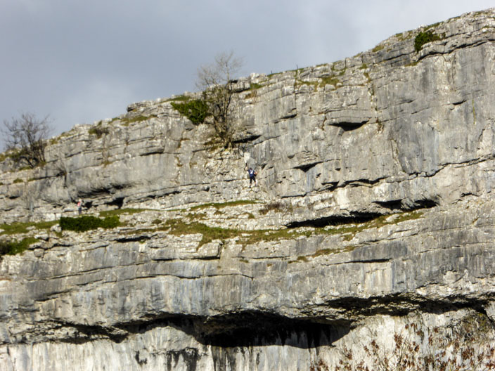
and a closer look reveals a climber - wonder where he started from?
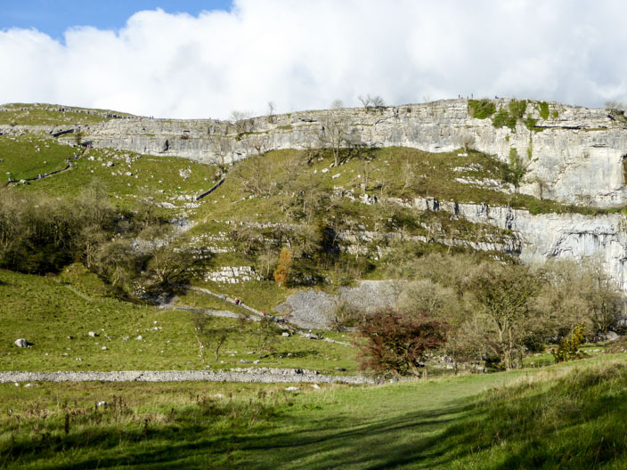
330+ steps lead up to the top of the Cove . . .
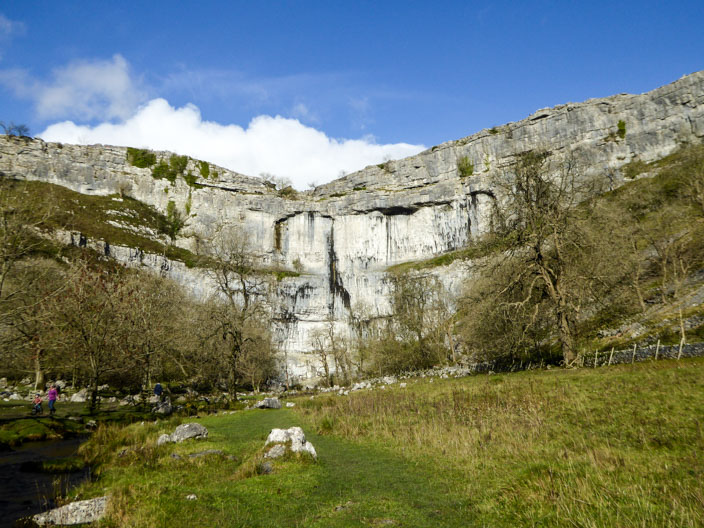
but first I explore the path towards the head of the cove . . .
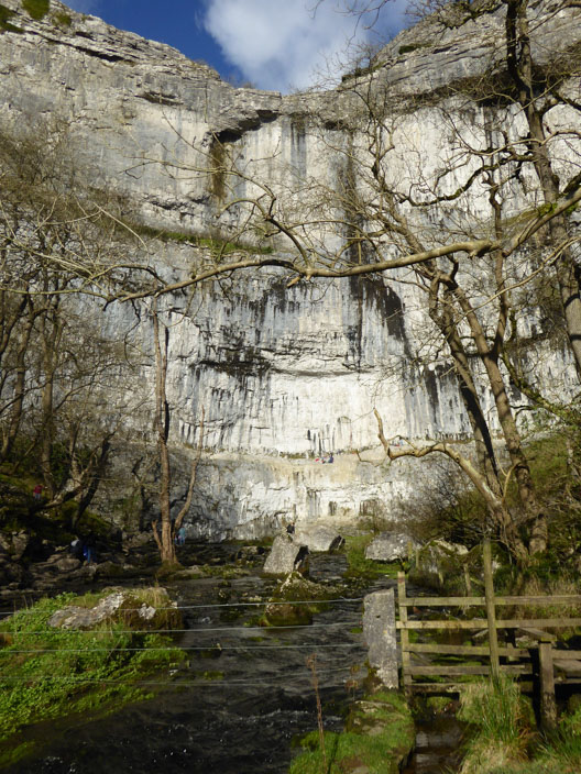
but the beck blocks the route . . .
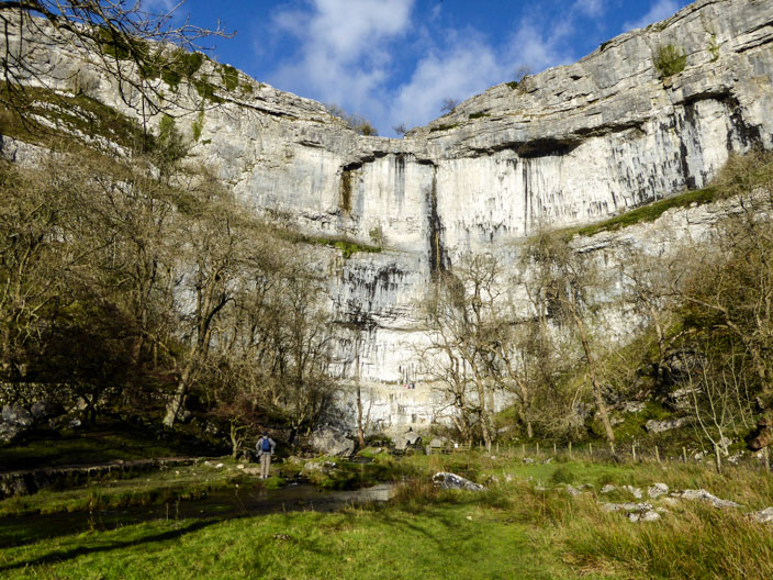
and a retreat to the bridge is needed, giving an alternative view of the cove
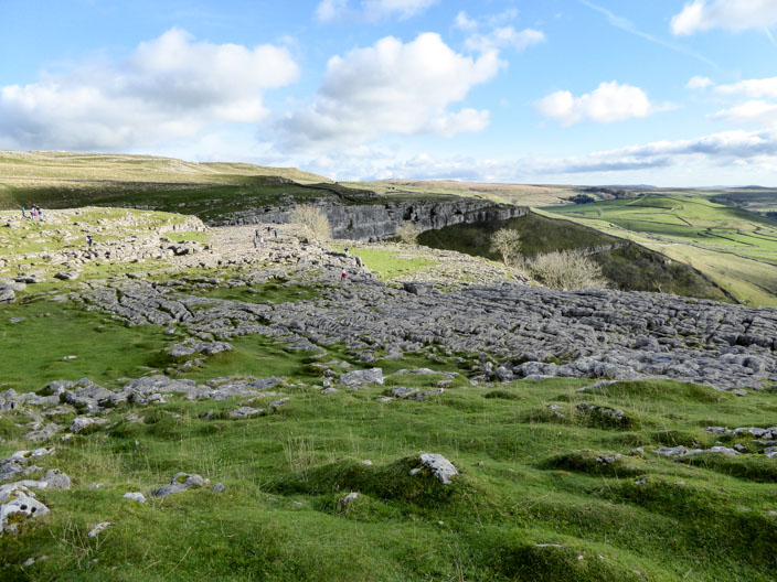
Lunch is taken above the limestone pavement . . .
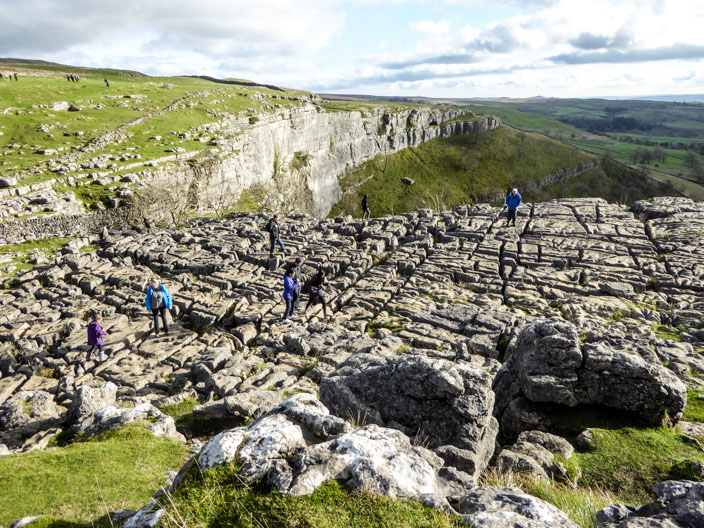
where people navigate the clints and grykes
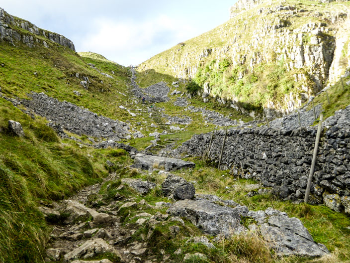
Heading up Watlowes before a speedy return to Langcliffe