Tuesday, 26th September 2017
| Walk: | Dowber Gill Beck, Providence Pot, Hag Dyke, Great Whernside, Blackfell Crags, Black Dike, Starbotton Road, Starbotton Cam Road, Starbotton, Moor End, New Bridge | ||
| Start Point: | Kettlewell car park opposite garage | Grid Reference: | SD 968 722 |
| Distance: | 11 miles | Ascent: | 2,500 feet |
| Time: | 6 hours | ||
| Weather: | Hazy start with some bright spells later on | ||
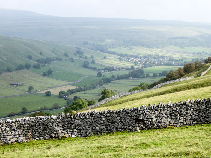
| Comments: | With a reasonable forecast I decided to repeat a walk done a number of years ago. Most of the ascent is done during the early part of the walk though an extra climb can be added towards the end - which I decided to do. The route between Hag Dyke and Great Whernside is rather boggy but the worst parts can be avoided. An enjoyable walk with lots of good views. | ||
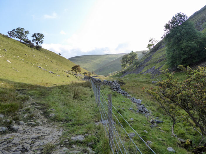
Walking up Dowber Gill . . .
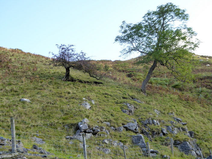
a couple of trees attract my attention . . .
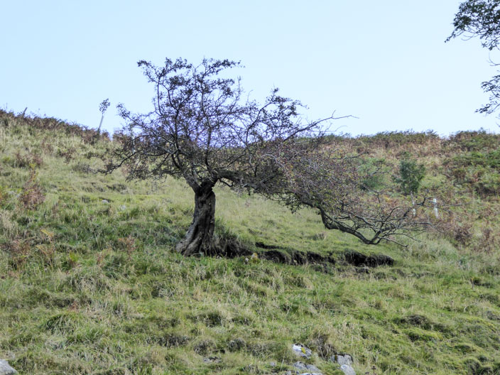
but it is the smaller one that has real character
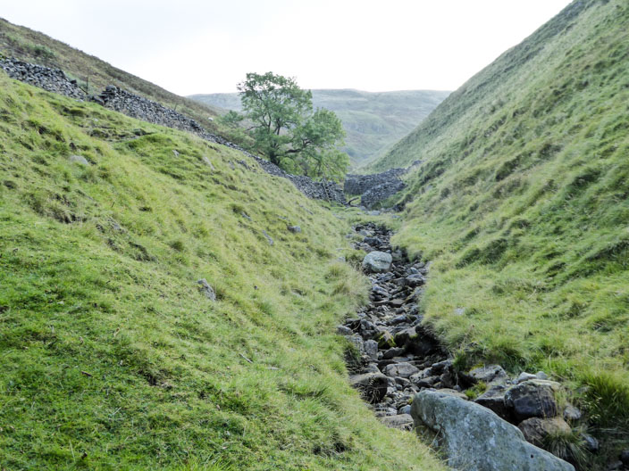
The gill narrows before reaching . . .
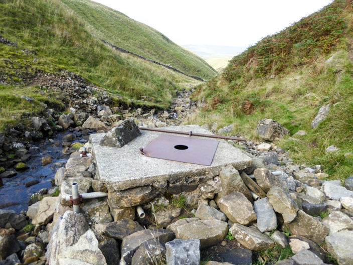
Provident Pot where the hole in the centre . . .
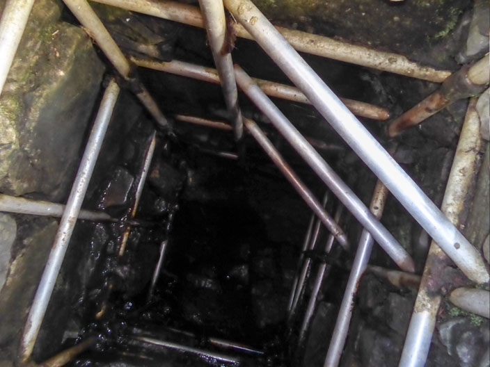
reveals the structure inside . . .
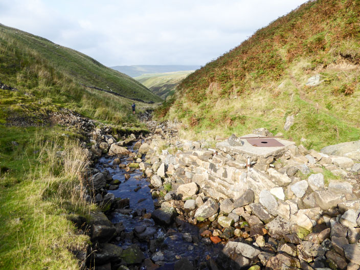
and another angle shows the height above the beck
Reaching Great Whernside . . .
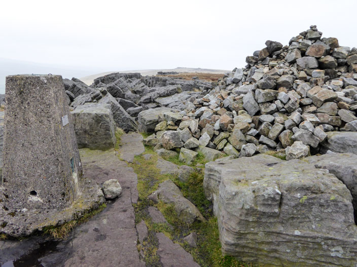
there are lots of seats for a morning break
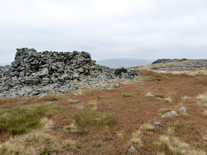
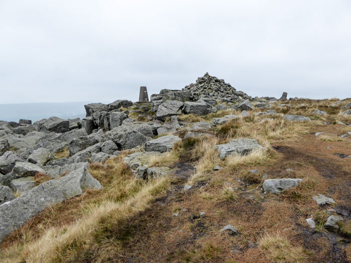
Blackfell Top . . .
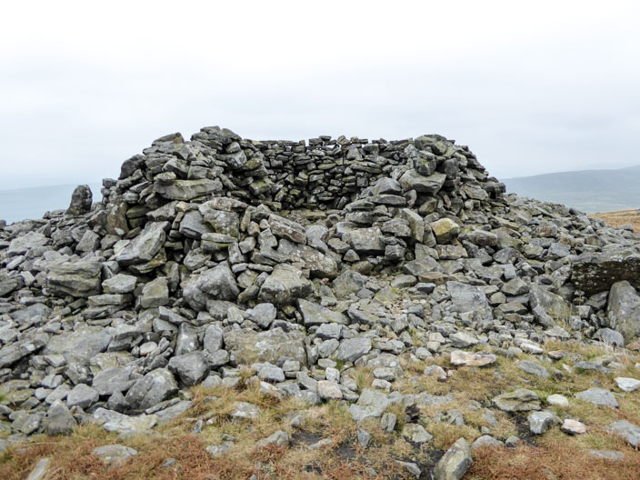
boasts a generously sized shelter . . .
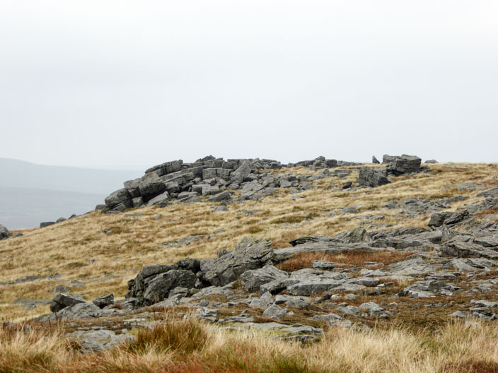
before the rocky outcrop is reached
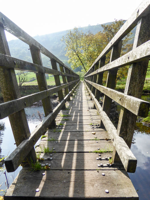
A narrow bridge crosses . . .
the River Wharfe
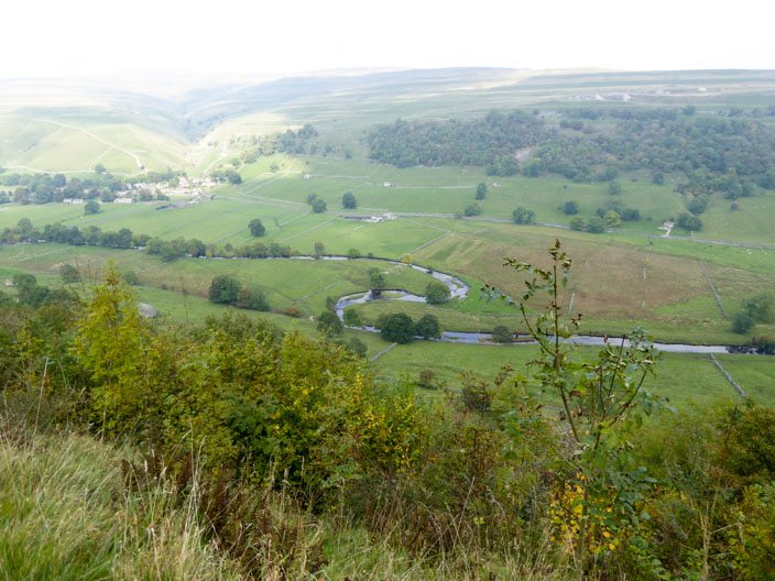
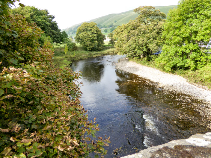
Looking across a meandering River Wharfe the sun highlights Starbotton . . .
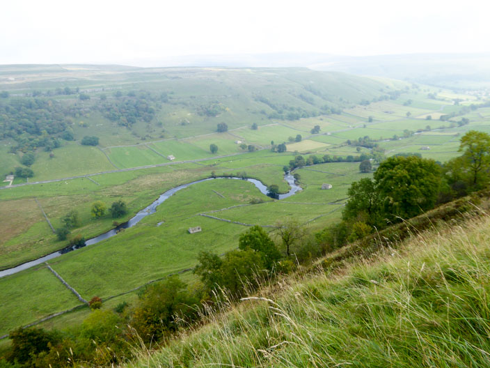
and the meanders continue . . .
on the way to Kettlewell
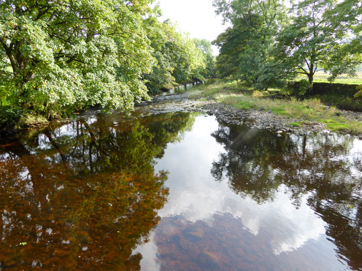
where the water makes its way . . .
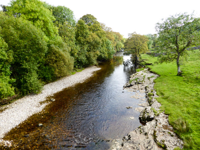
beneath New Bridge