Sunday, 3rd September 2017
| Walk: | Calderdale Way, Long High Top, Standing Stone Hill, Gorple Lower Reservoir, Pennine Bridleway, Calder Aire Link, Walshaw Dean Lower Reservoir, Pennine Way, High Rakes, Calder Aire Link, Crimsworth Dean, Midgehole | ||
| Start Point: | Hebden Bridge, roadside | Grid Reference: | SD 997 269 |
| Distance: | 15 miles | Ascent: | 2,200 feet |
| Time: | 6.25 hours | ||
| Weather: | Mainly fine with a cool breeze and a spot of rain | ||
| Comments: | A walk mainly over good paths and open moorland after a steep climb out of Hebden Bridge. Reservoirs, grouse butts and rock formations provide added interest along the way. | ||
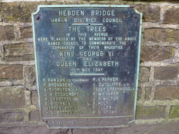
Plaque at the entrance to Calder Holmes Park where the trees . . .

have now matured into a large avenue
leading into the park from Station Road.
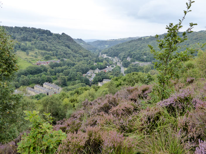
A steep stepped climb soon gives us good views into the valley . . .

and craggy rocks loom large . . .
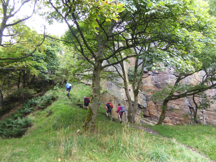
as we continue upwards . . .
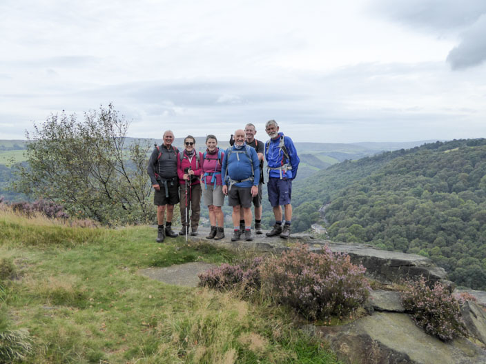
and along the path to spot a vantage point . . .
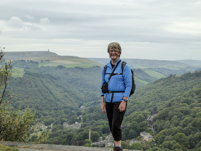
with views across to Stoodley Pike . . .
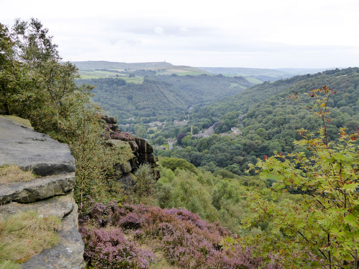
seen again from further along the path
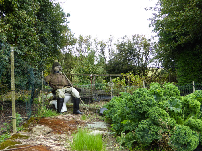
Keeping an eye on the vegetation . . .
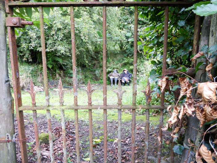
but these two need to be kept behind bars . . .
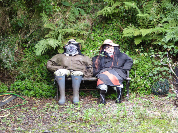
with those scary faces!
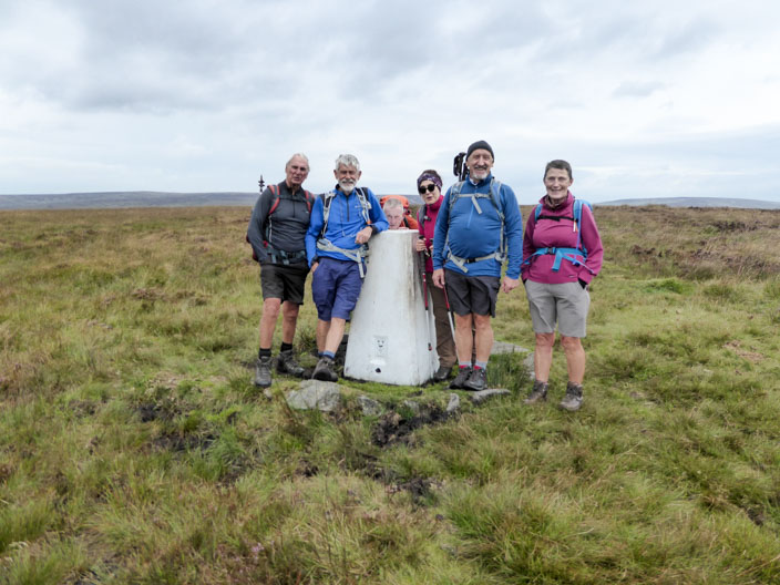
Standing Stones Hill . . .
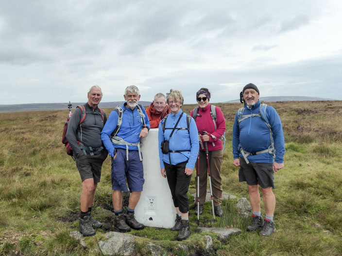
but where are the Standing Stones?
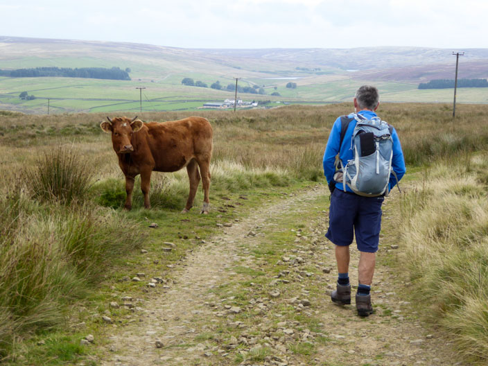
Keeping an eye on the leader
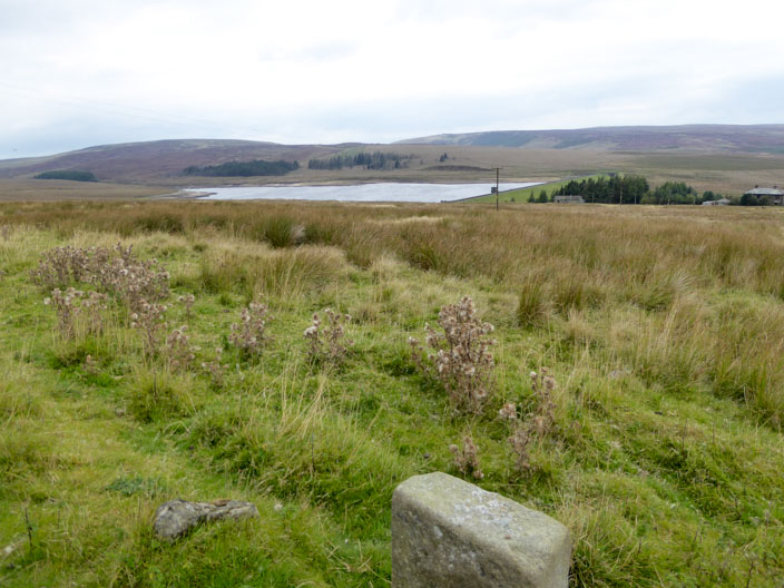
Gorple Lower Reservoir . . .
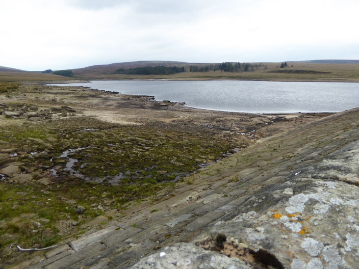
looking rather empty

Walshaw Dean Lower Reservoir . . .
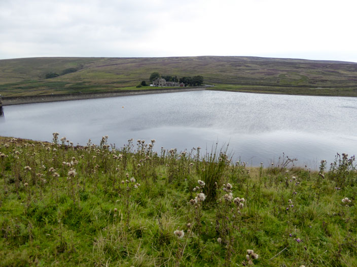
and Walshaw Dean Middle Reservoir . . .
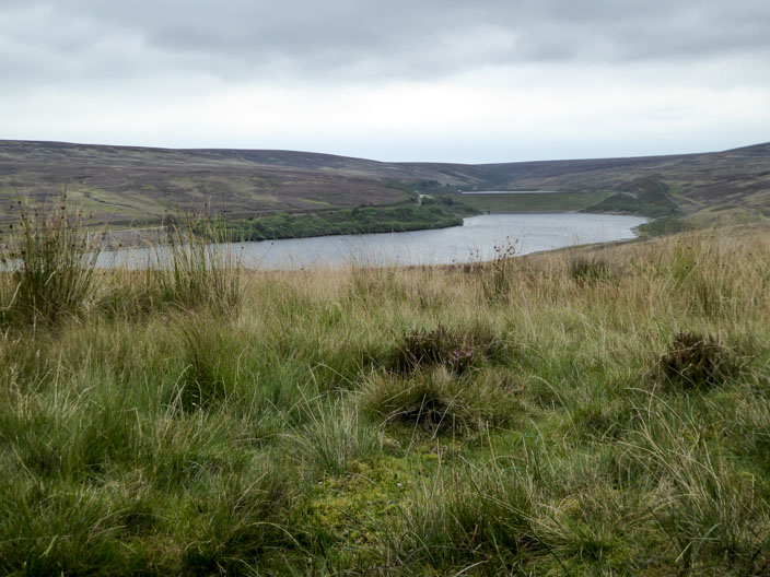
where we stop for lunch with Walshaw Dean Upper Reservoir just in view
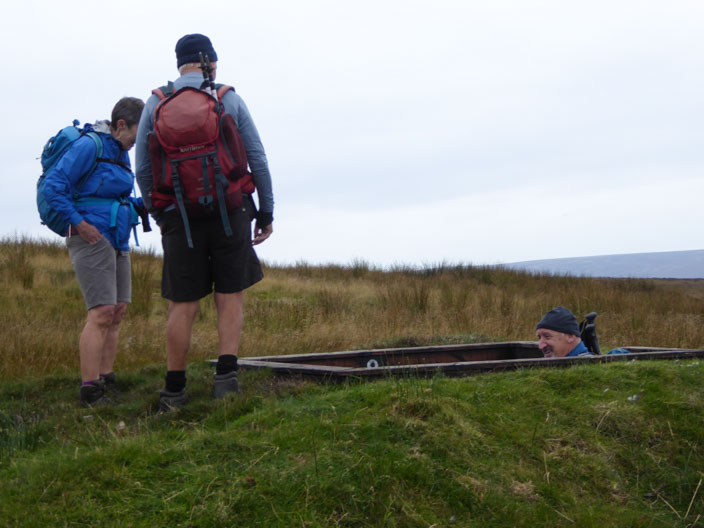
Robb checks out . . .

a smart grouse butt . . .

setting a trend for the men to try another one . . .
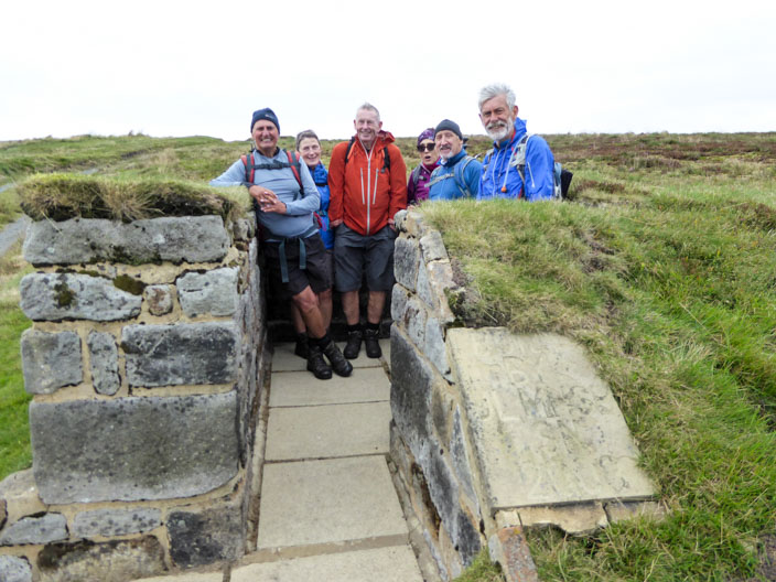
before the group checks out a 'posh' one
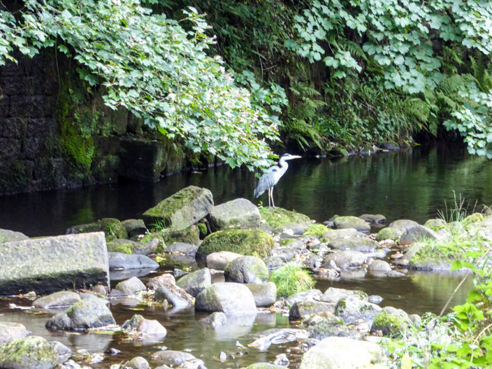
We are lucky to spot a heron . . .

which remains still long enough to zoom in for a close shot