Sunday, 15th April 2018
| Walk: | Twisleton Scar End, Scales Moor, Chapel-le-Dale, Souther Scales, Braithwaite Wife Hole, Humphrey Bottom, Ingleborough Summit, Crina Bottom, Fell Lane (Track) | ||
| Start Point: | Ingleton main car park | Grid Reference: | SD 694 730 |
| Distance: | 12 miles | Ascent: | 3,100 feet |
| Time: | 6.5 hours | ||
| Weather: | Some sunny spells and rain for the last hour | ||
| Comments: | Nine members, two from other groups, set off from Ingleton hoping that the rain wouldn't arrive any earlier than forecast. However, two members decided to turn back after climbing Twisleton Scar End because of an injury which happened on the way to the car park. Ingleborough was hidden in mist as we made our way across Scales Moor on a section of the Pennine Way long distance route. As we descended into Chapel-le-Dale mutterings were heard as members knew that the height lost had to be regained on the other side of the valley before we even started the ascent of Ingleborough itself!! The very boggy ground crossed was made much easier by being flagged most of the way. Climbing the flanks of Ingleborough provided a real challenge for some and by the time we reached the summit plateau we were pleased to find a space where we were sheltered from the wind. Following the Pennine Way route the rocky descent was made more difficult by the strong, blustery wind. Eventually we made our way past Crina Bottom and back to Ingleton. |
||
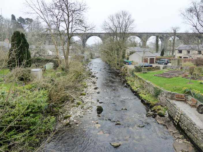
Crossing the bridge over the River Greta . . .

and the conditions when we tried to do the same walk in March 2017
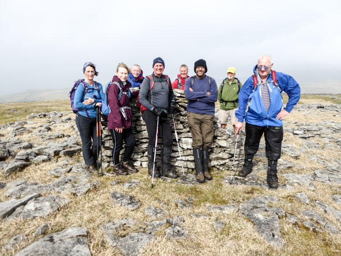
Ewes Top
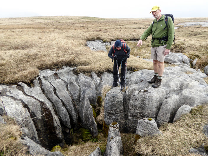
John and Tony inspect an unsual sink hole . . .
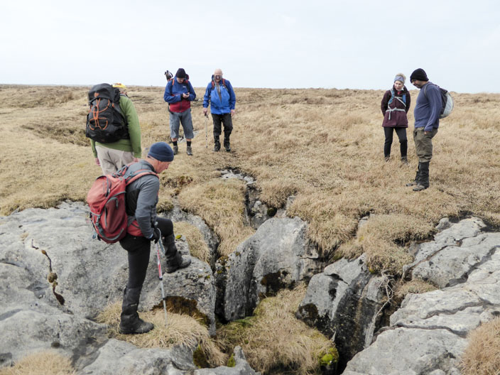
and another one . . .
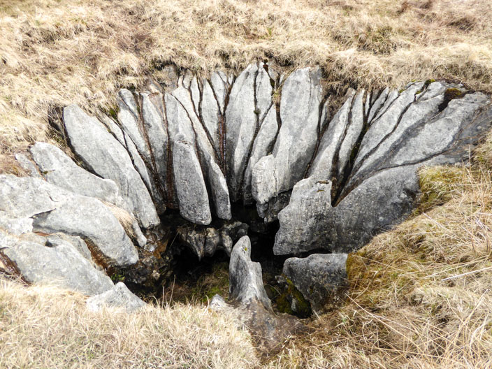
each one a jagged maw
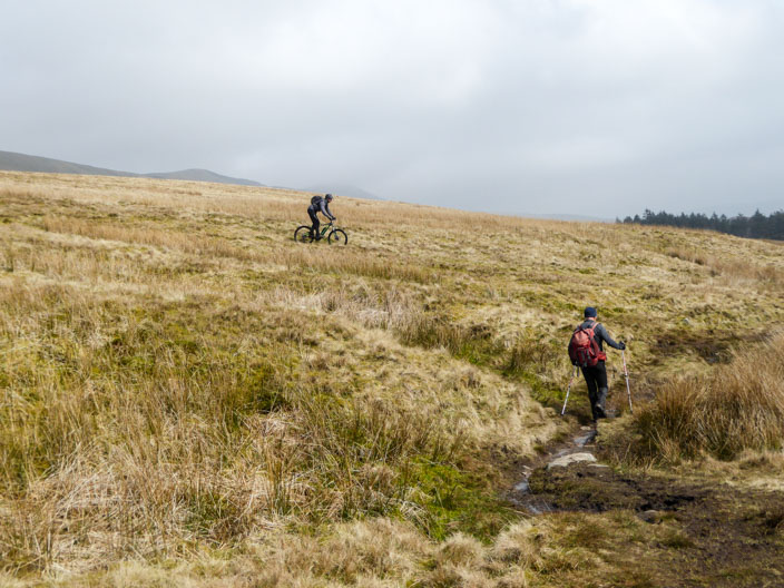
A couple of cyclists soon leave us behind
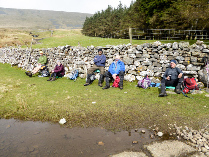
Elevenses by Ellerbeck Gill . . .

before descending to Chapel-le-Dale
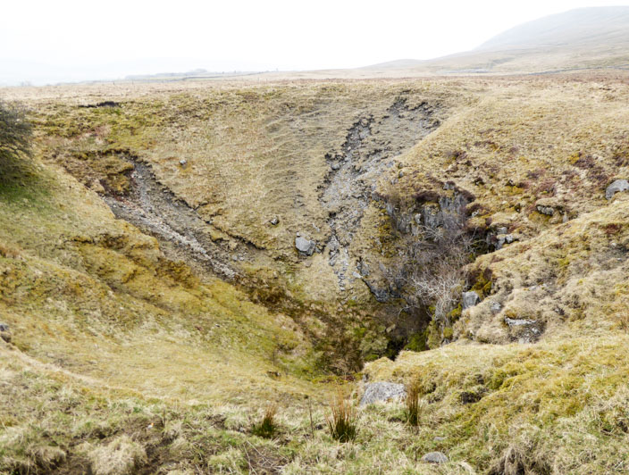
Braithwaite Wife Hole
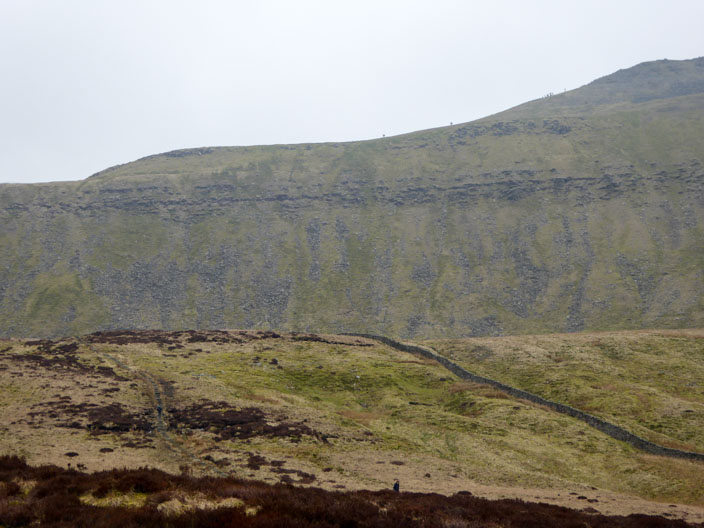
Lots of people going up to . . .
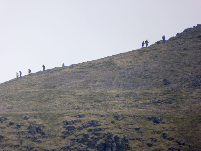
or down from the summit plateau
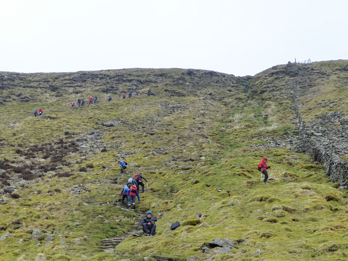
Looks an easy climb, but it rises 3 feet in every 2 feet!
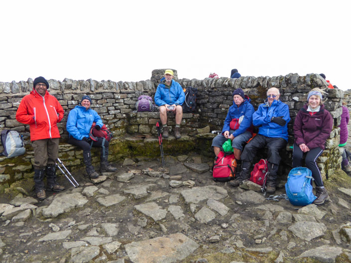
The cross-wall wind shelter is equipped in its centre with a detailed view indicator erected by Ingleton Fell Rescue Team in 1953 but which, being above eye level, may not be noticed.
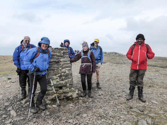
The full force of the wind can be felt at the trig point
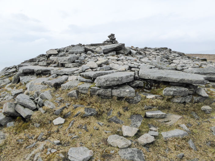
The large cairn sits where the Ingleton path reaches (or leaves) the summit. This is the site of the battlemented round tower (a hospice) built in 1830. Its opening ceremony became so alcoholic that parts of it were thrown down there and then, the rest being destroyed later. The curved stone of the base can still be seen.
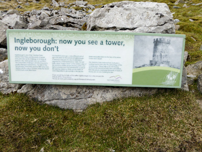
The information board can be seen on the slopes below the tower
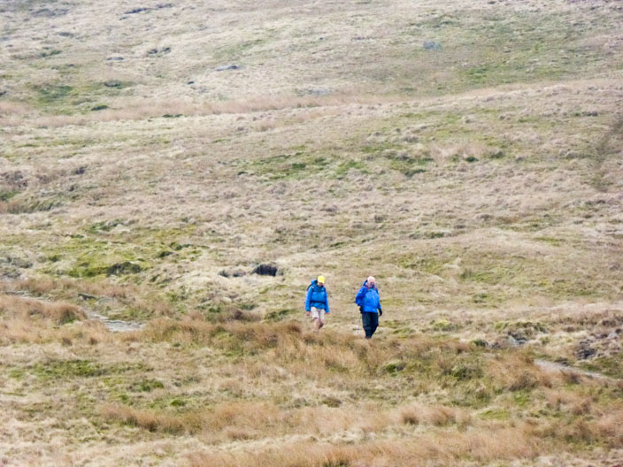
Zooming back to find John keeping Derek company on the descent