Sunday, 1st April 2018
| Walk: | Walshaw Dean Reservoirs, Withins, Bronte Bridge & Waterfalls, Leeshaw Reservoir, Stairs Lane, Calder/Aire Link, Walshaw | ||
| Start Point: | Gorple Reservoir car park | Grid Reference: | SD 947 323 |
| Distance: | 14miles | Ascent: | 2,100 feet |
| Time: | 6.25 hours | ||
| Weather: | Overcast but mainly dry | ||
| Comments: | Quite a long walk across open moorland along flagged paths and grouse shooting tracks, as well as some muddy sections. Reservoirs, Top Withens, the Bronte Bridge and Waterfall provided interest along the way. | ||
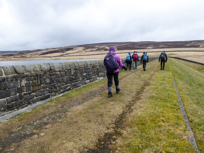
Walking along the embankment of . . .
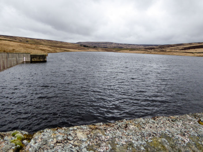
Walshaw Dean Lower Reservoir . . .
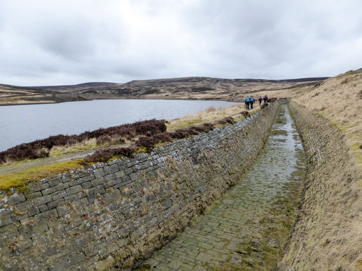
then beside Walshaw Dean Middle Reservoir . . .
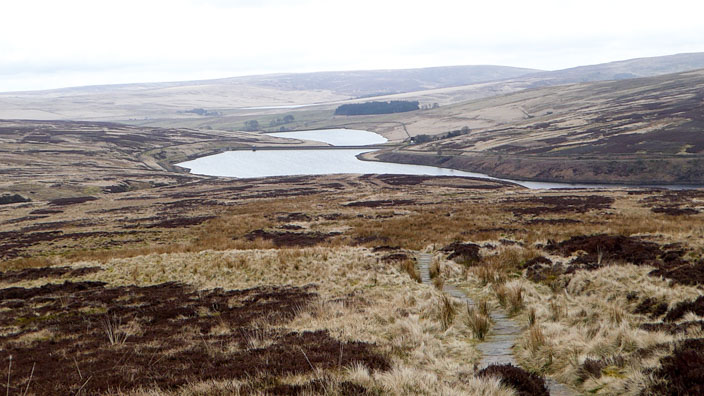
which we can look back on . . .
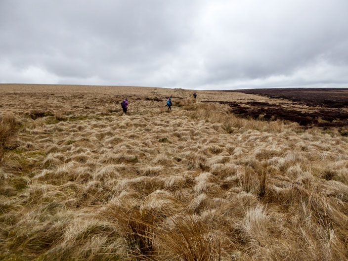
as we head along the Pennine Way . . .
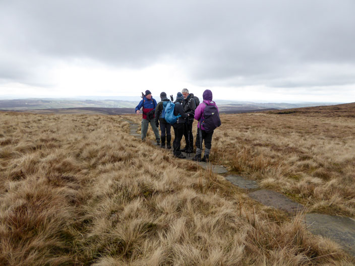
to reach Withins Height End (Withins spelt differently on the map to the ruins - Withens)
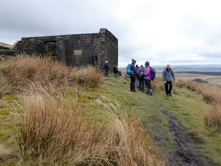
Reaching Top Withens . . .
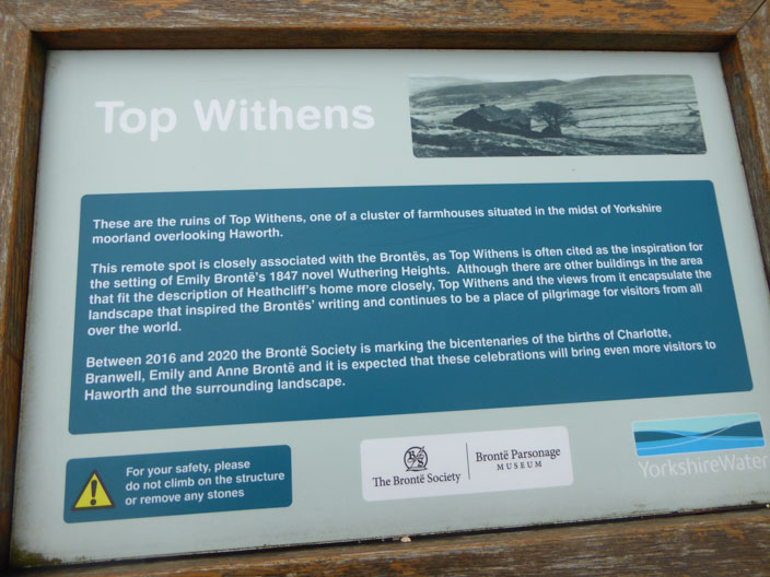
we take time to check out the information board . . .
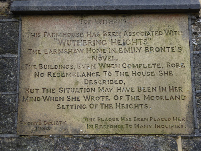
and the plaque on the side of the building
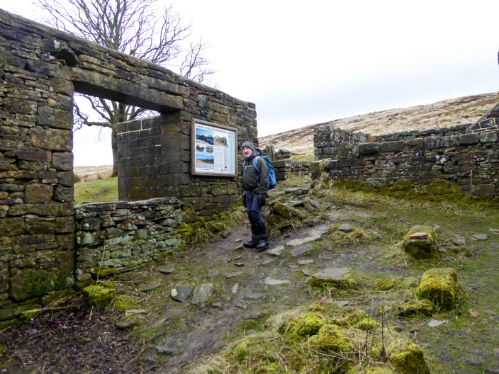
Inside the ruins Robb finds out more . . .
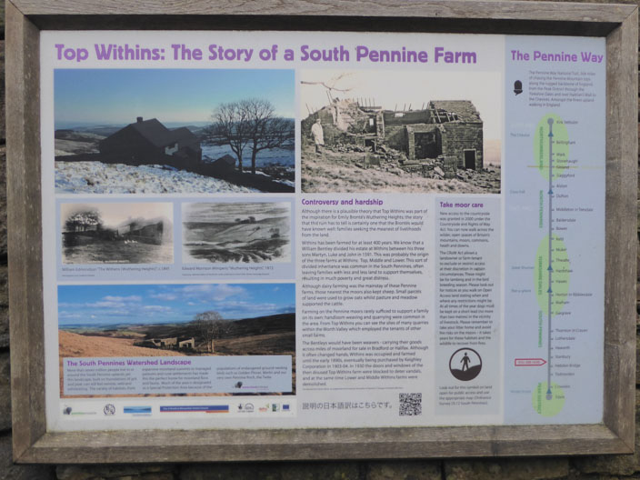
about the history of the buildings . . . (note the spelling on this board)
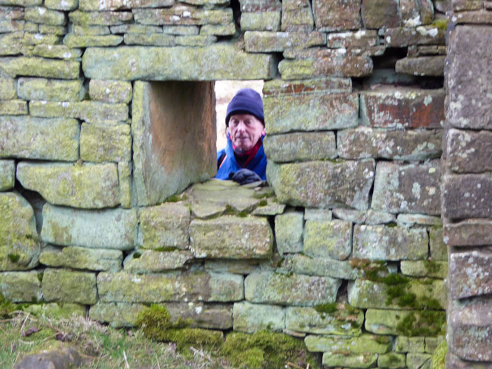
while Ray peeps through the window
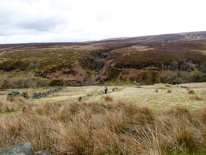
With the Bronte Bridge and Waterfalls in sight . . .
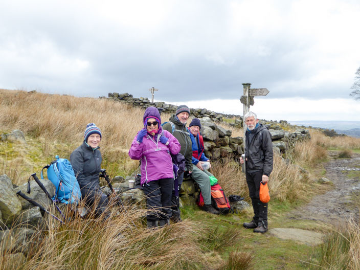
we spot a good vantage point for our morning break . . .
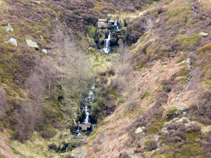
and to zoom in on the waterfalls
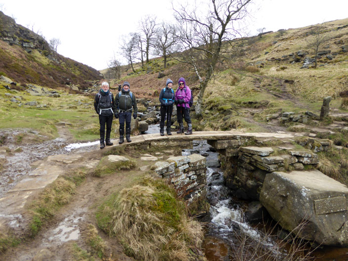
After crossing the bridge . . .
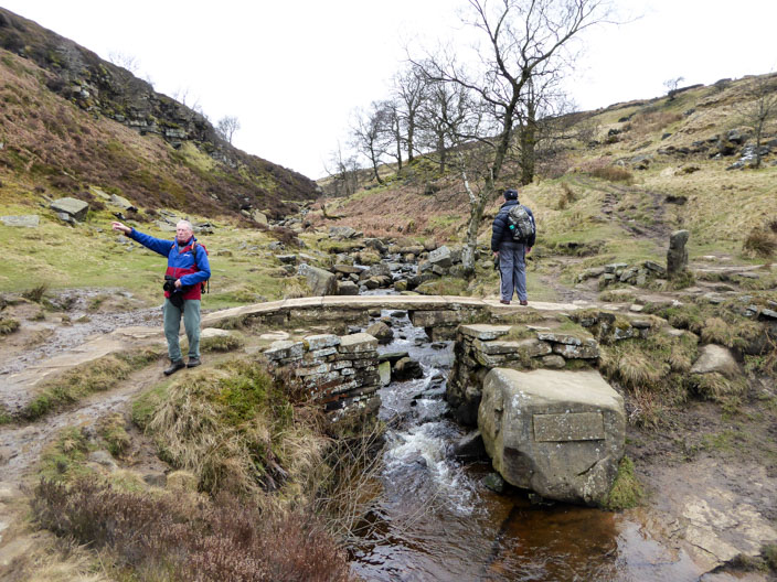
Ray indicates the direction of our path . . .
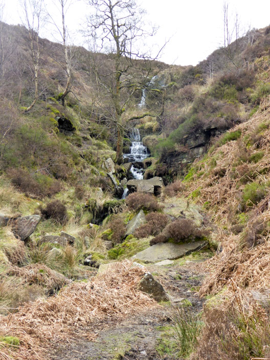
which climbs beside . . . .
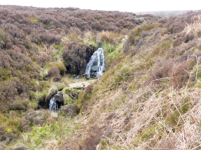
the waterfall
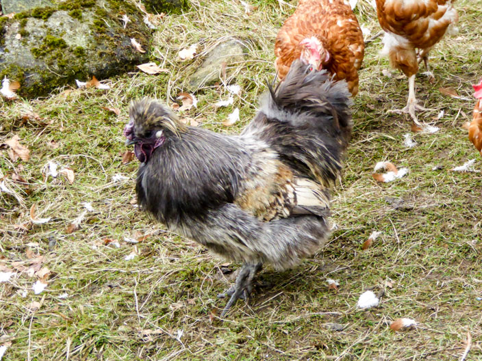
A hen with a difference . . .
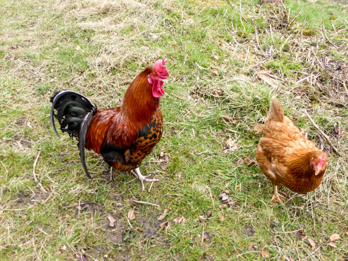
and a smart looking cockerel attract our attention
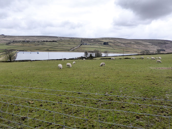
Leeshaw Reservoir . . .
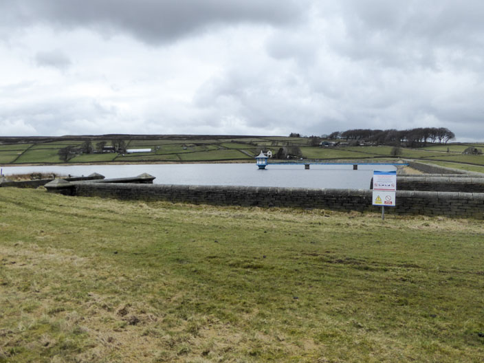
is our next point of interest . . .
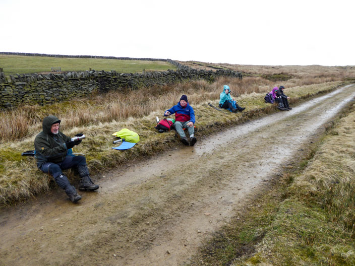
before stopping for lunch on Top of Stairs
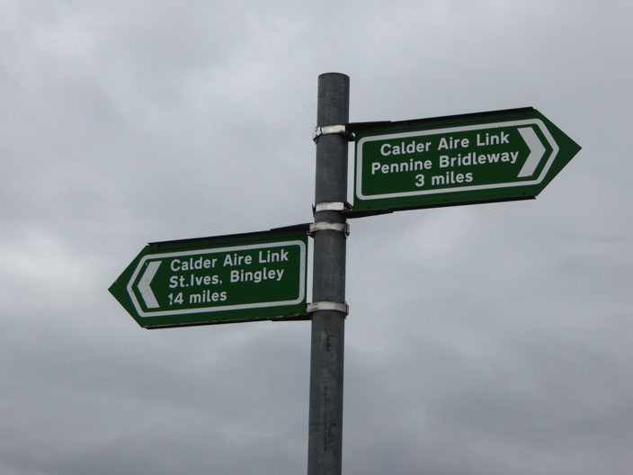
St Ives - really!
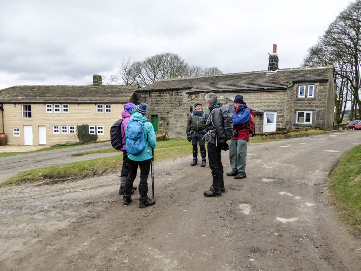
The small hamlet of Walshaw