Wednesday, 24th October 2018
| Walk: | Bleasefell, Knowle Crags, Blencathra, Memorial, Atkinson Pike, Bowscale Fell, Bannerdale Crags, White Horse Bent, Mousthwaite Comb, Southern Flanks of Blencathra | ||
| Start Point: | Blencathra Centre | Grid Reference: | NY 302 256 |
| Distance: | 11 miles | Ascent: | 3,700 feet |
| Time: | 7 hours | ||
| Weather: | Low cloud interspersed with sunny spells then clear in the afternoon | ||
| Comments: | The very strong wind made walking difficult at times but it kept the low cloud moving quickly giving short glimpes of sun and blue sky. While I couldn't get many views from the top the swiftly moving clouds created their own display. I even caught a glimpse of a brocken spectre but it vanished before I could get my camera out. The walk back along the flanks of Blencathra was more undulating than I expected and life was made more difficult by the strong headwind!! | ||
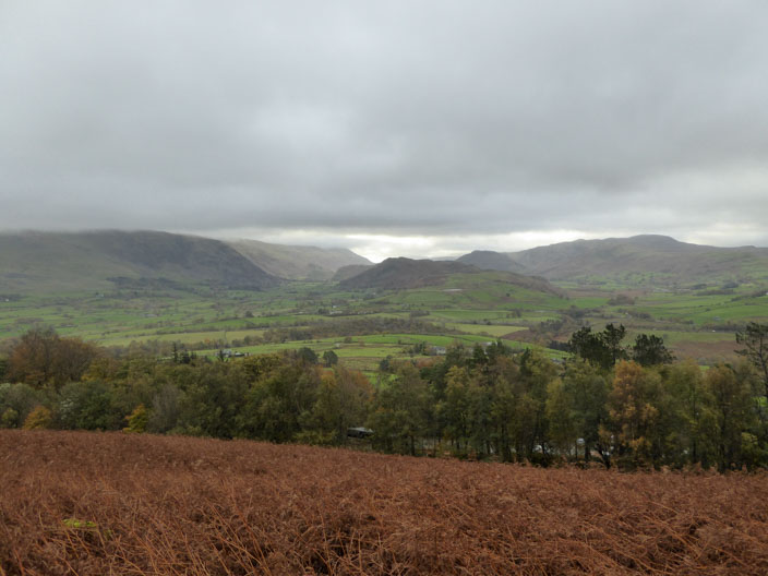
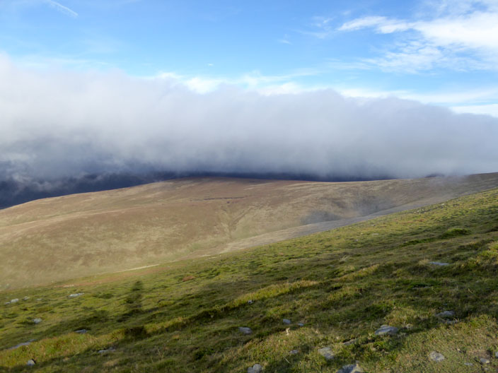
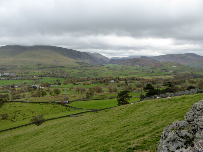
Looking south with the Helvellyn ridge covered in low cloud
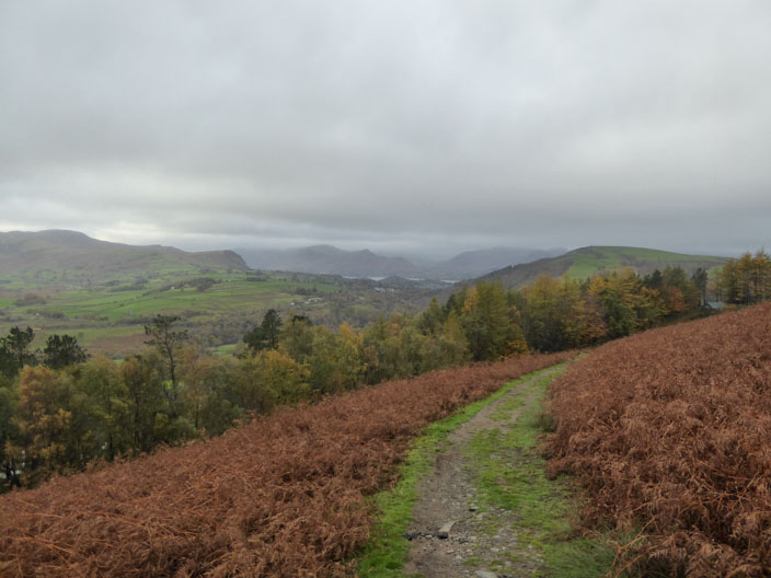
Derwent Water is just coming into view . . .
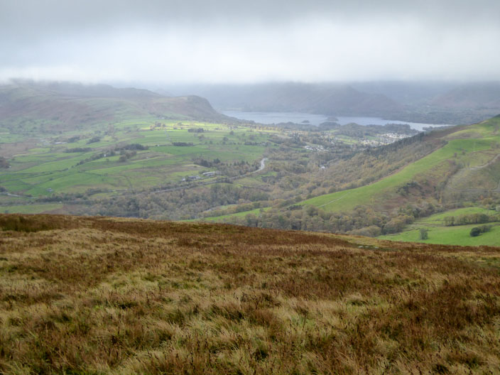
but can be seen better from a higher point
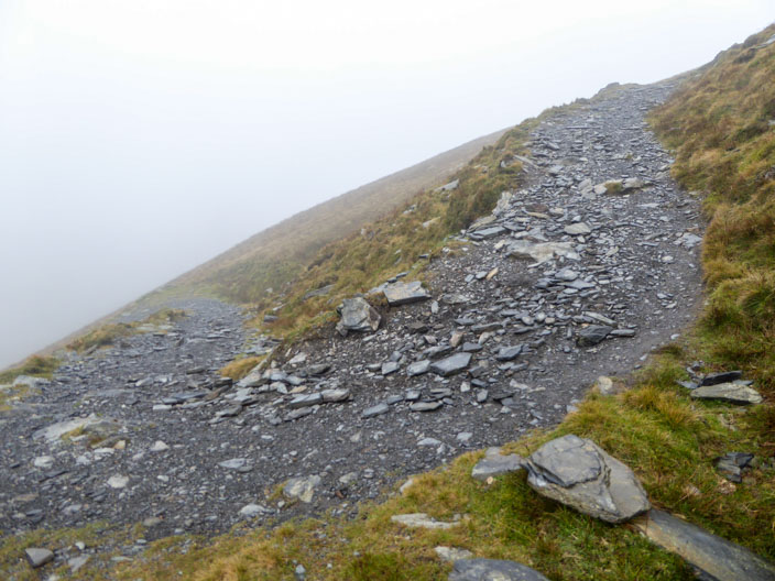
Zig zags make the steep part of the climb a litle easier!

With a very strong wind short spells of sun and blue skies suddenly appear and disappear
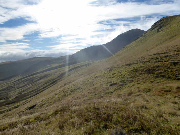
Looking north . . .
low cloud covers the fells I was walking on yesterday

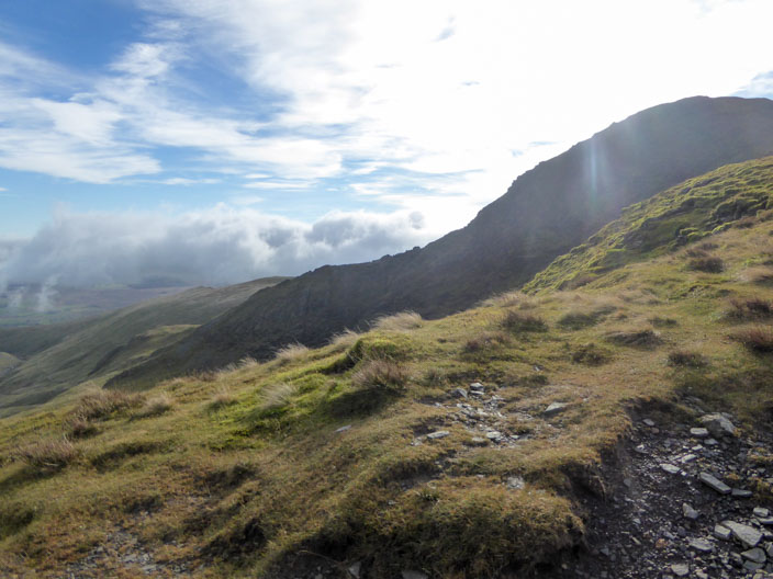
The path undulates along the ridge . . .
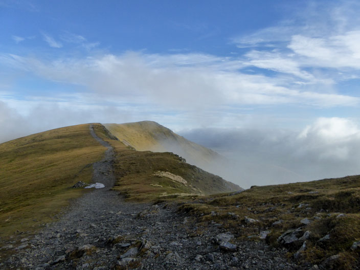
as another sunny spell means another photo opportunity

On Hall's Fell Top two guys take a photo of the summit marker . . .

seen here on a previous walk. Strong winds kept me away today

Two walkers disappear into the mist to descend by Hall's Fell ridge -
and I can barely stay upright!!
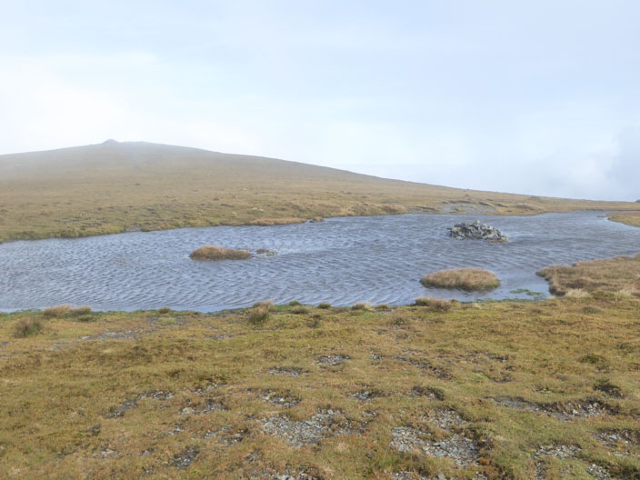
Taking the direct route to Atkinson Pike I pass a tarn . . .
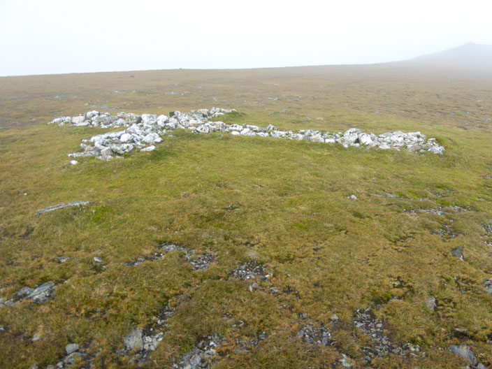
and the memorial cross
Sharp Edge - someone was climbing it even in the strong wind!
I was later told that the Edge was in the lee of the mountain.
Sharp Edge again
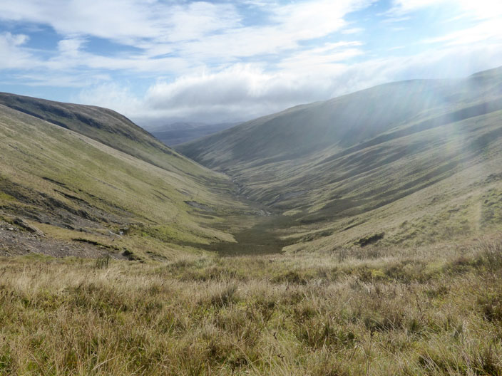
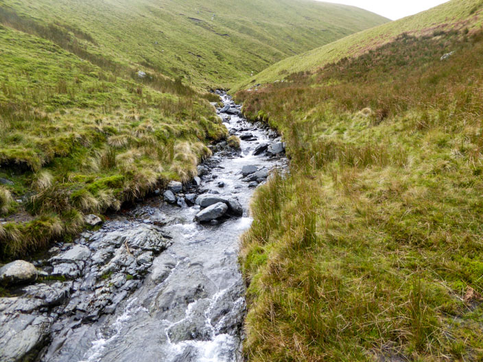
The early stages of River Glenderamackin . . .
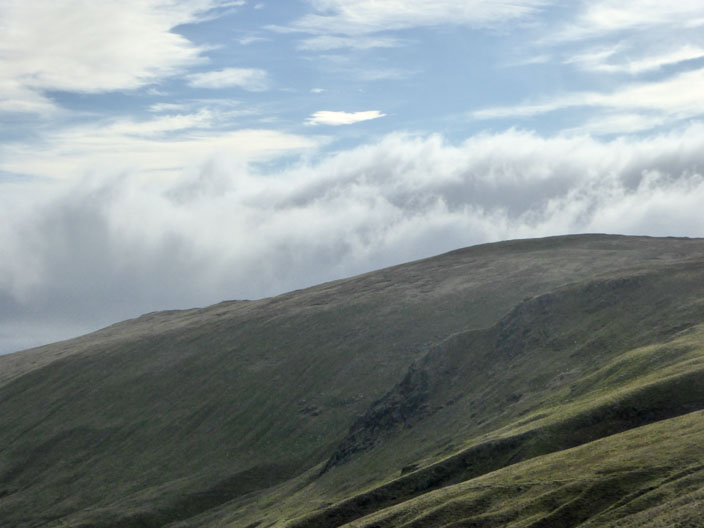
where I stop for elevenses and watch the amazing cloud formations floating by
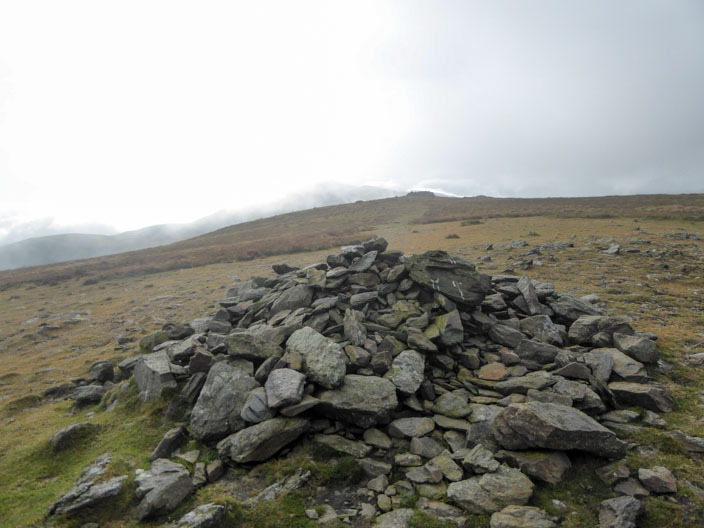
The cairn on Bowscale Fell looks up to the summit shelter . . .
which is the Wainwright summit and which has good views to Bannerdale Crags and Blencathra
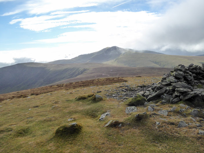
Bannerdale Crags looking over to Souther Fell . . .

and back to Bowscale Fell now covered in low cloud
River Glenderamackin
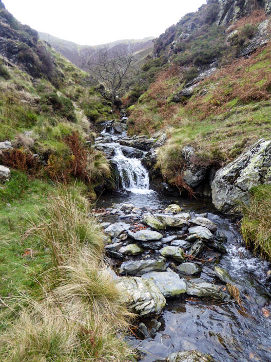
Scales Beck but . . .
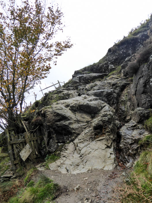
this is followed by a steep scramble!!
Under or over?
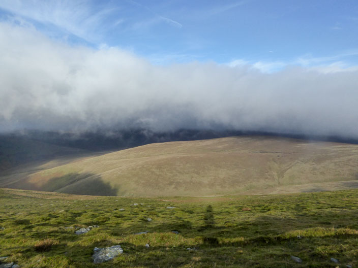
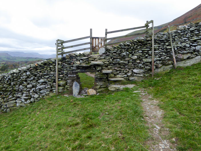
From a lower point this view is similar to me first one, the cloud now sitting at a higher level