Sunday, 14th April 2019
| Walk: | Attermire Scar, Sugar Loaf Hill, Lambert Lane (Track), Lodge Farm, Ribble Way (Dales Highway), Langcliffe Place | ||
| Start Point: | Langcliffe | Grid Reference: | SD 823 651 |
| Distance: | 9 mls | Ascent: | 1,550 ft |
| Time: | 4.5 hours | ||
| Weather: | Overcast with some sunny spells and a cold wind | ||
| Comments: | Quite an easy walk, in an area often visited, on good tracks with some pleasant grassy sections. The route passes through interesting limestone escarpments and finishes with a pleasant stroll alongside the River Ribble. | ||
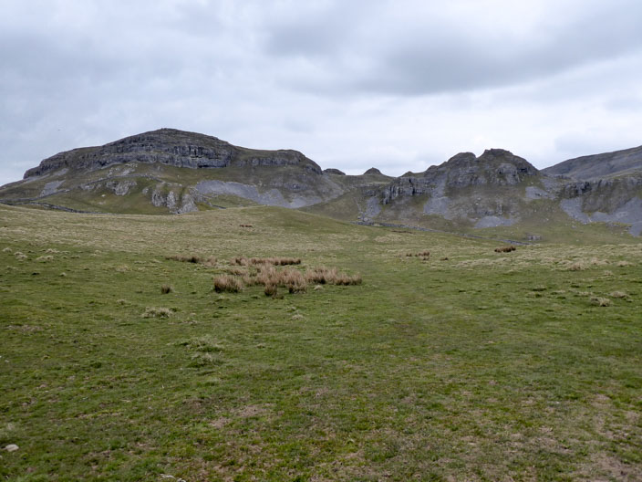
Warrendale Knotts always looks inviting . . .
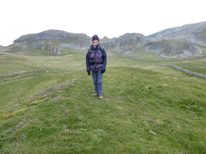
and seen again . . .
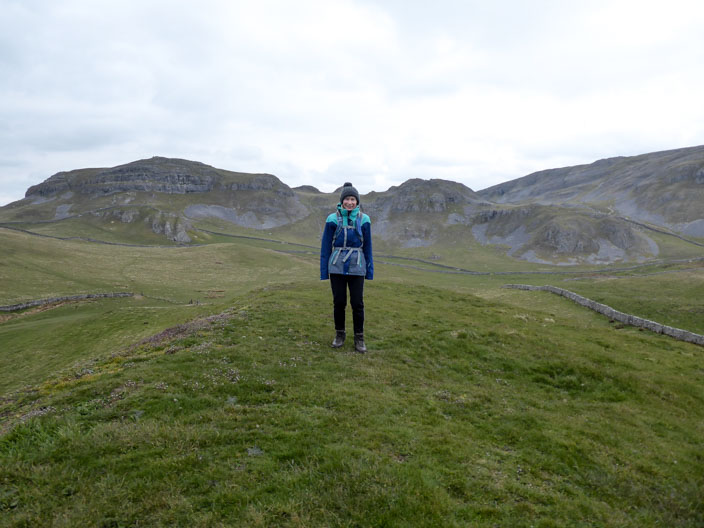
from Sugar Loaf Hill
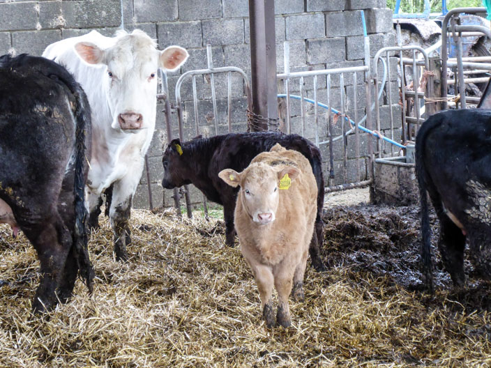
Calves at Lodge Farm
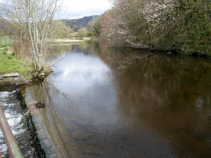
A footbridge allows easy access from the centre of Settle to join the Ribble Way
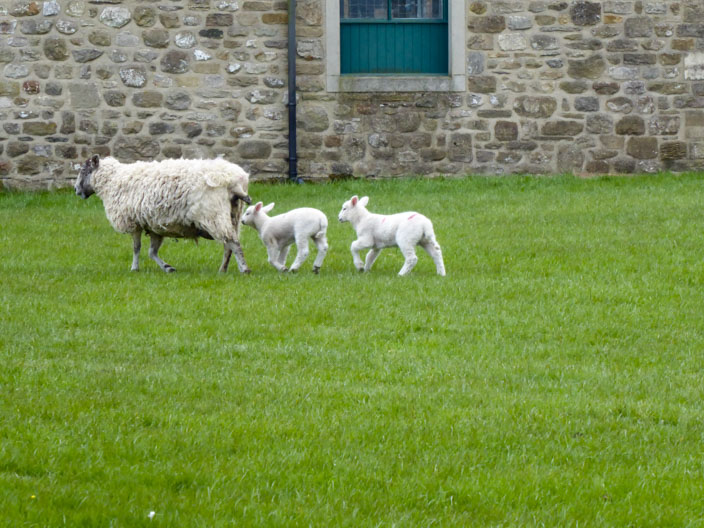
Quite small lambs compared to others we had seen
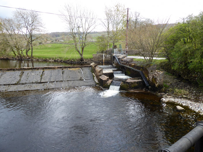
Not much water on the weir . . .
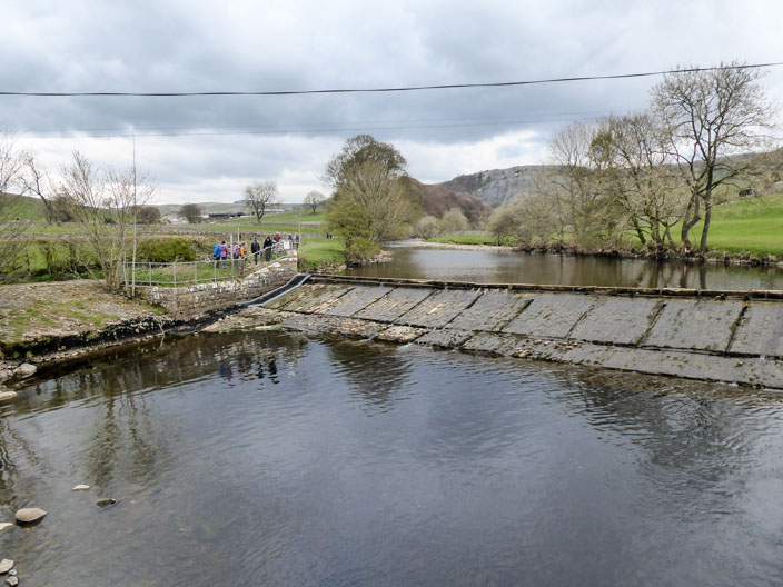
with some of the stones becoming dry . . .
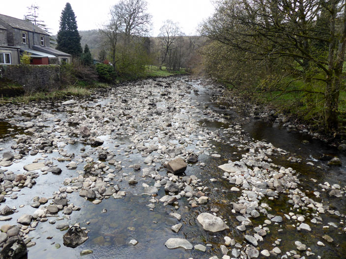
and a very low level of water downstream
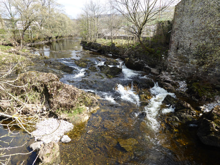
Marked as a reservoir on the map . . .
the water overflows . . .
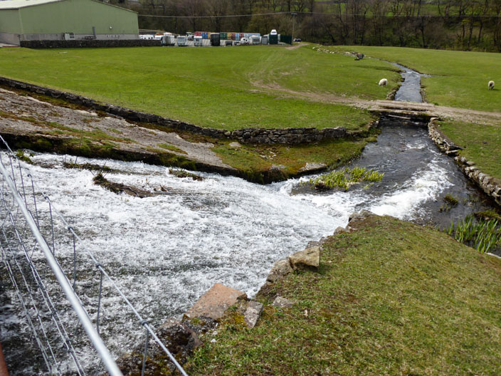
to join the River Ribble
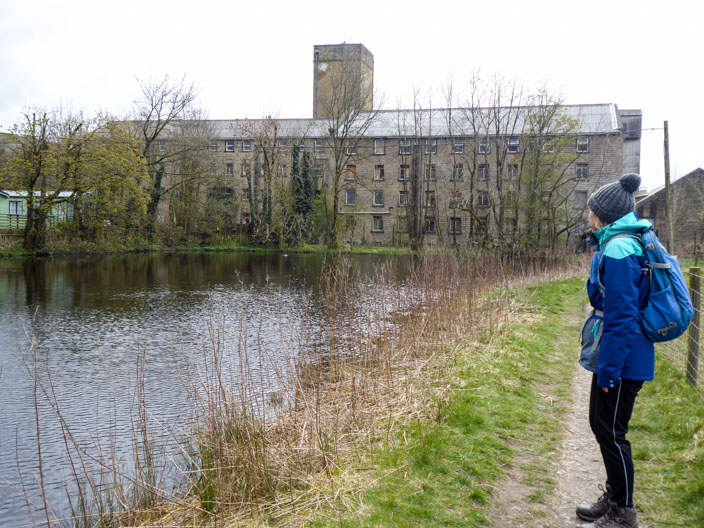
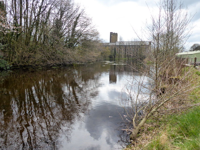
Sheila wonders whether a large disused mill . . .
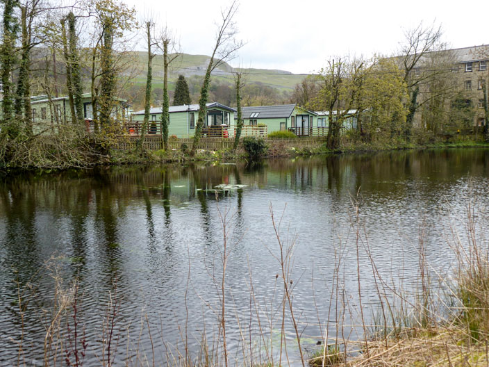
is a good place for a caravan park
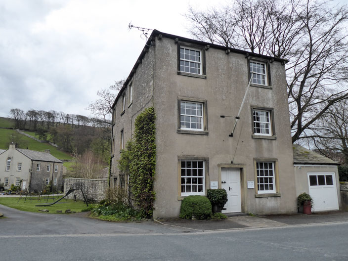
Walking back through Langcliffe . . .
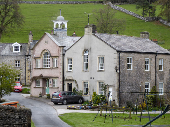
there are some interesting looking properties . . .
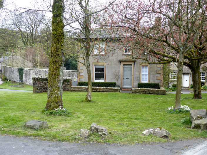
including one sitting alone on a green triangle - called Green Cottage