Monday, 22nd November 2021
| Walk: | Badger Wells Hill, Ogden Clough, Big End, Boar Clough, Ogden Clough, Black Hill, Deerstones, Clitheroe Road | ||
| Start Point: | Clitheroe Road lay-by | Grid Reference: | SD 775 380 |
| Distance: | 7.3 miles | Ascent: | 1,516 feet |
| Time: | 3.3 hours | ||
| Weather: | Cold start but sunny and turning quite warm | ||
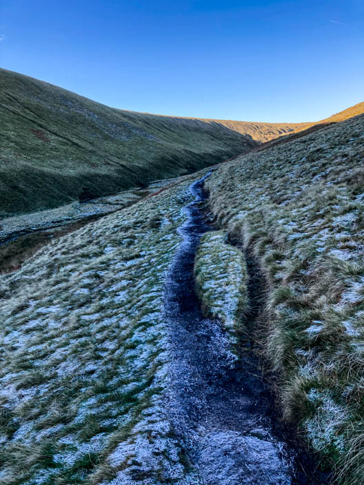
| Comments: | The purpose of this walk was to explore Boar Clough. From the summit I headed for Boar Clough which is part of the Pendle Way. After leaving the upgraded section the path was grassy and descended very gradually. It then became quite rocky and muddy in places but the descent was still very gradual. As the Pendle Way took a left bend there was a narrow grassy path to the right which led down to Ogden Clough. This was one of the best descents I have taken off Pendle Hill and worth exploring. | ||
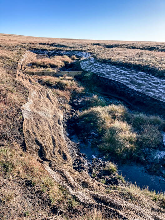
Netting used for erosion control
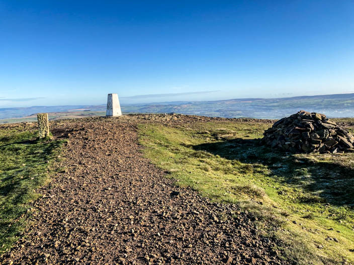
An upgraded path leads to the trig point . . .
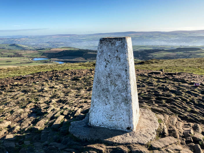
from where there are views to Black Moss reservoirs
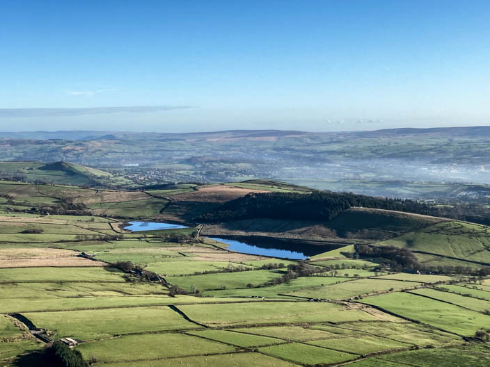
Ogden Reservoirs
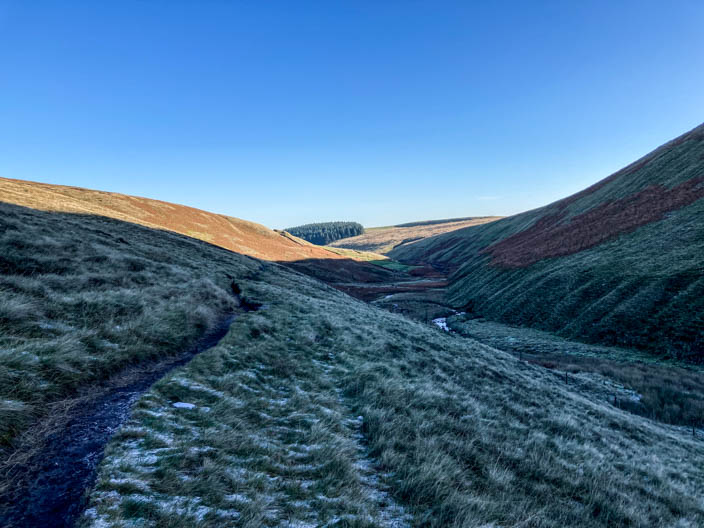
Looking down Ogden Clough to Fell Wood . . .
and in the opposite direction
Deerstones which overlooks . . .
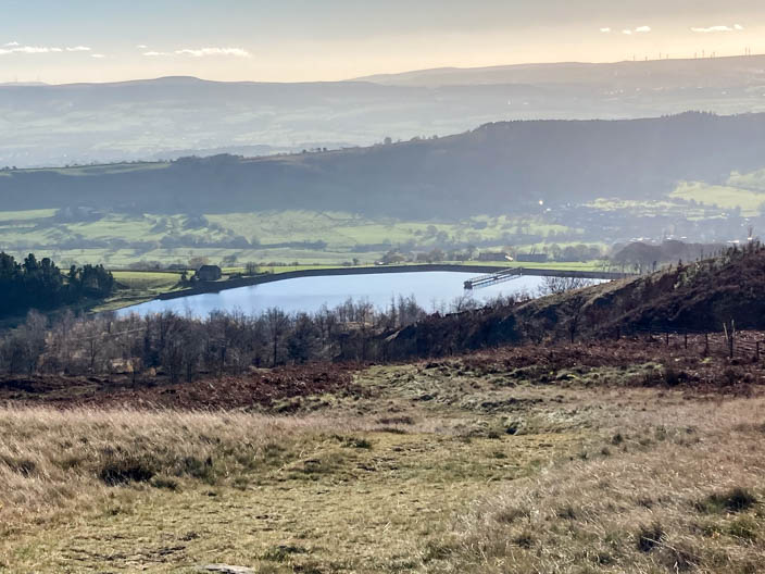
Churn Clough Reservoir