Saturday, 18th September 2021
| Walk: | River Cocker, Bank Farm, Whin Fell, Fellbarrow, Smithy Fell, Thackthwaite | ||
| Start Point: | Low Lorton, beside bus shelter | Grid Reference: | NY 153 256 |
| Distance: | 5.9 miles (plus 1 mile to move car) | Ascent: | 1,304 feet |
| Time: | 2.5 hours | ||
| Weather: | Low cloud on the surrounding summits but mainly dry with a spell of rain to finish | ||
| Comments: | The first half of the walk seemed to be forever upwards!! With unclear paths and a slight miscalculation the last section to Fellbarrow summit was very steep. An easy descent and final road section took us back to the car - in the rain! | ||

River Cocker
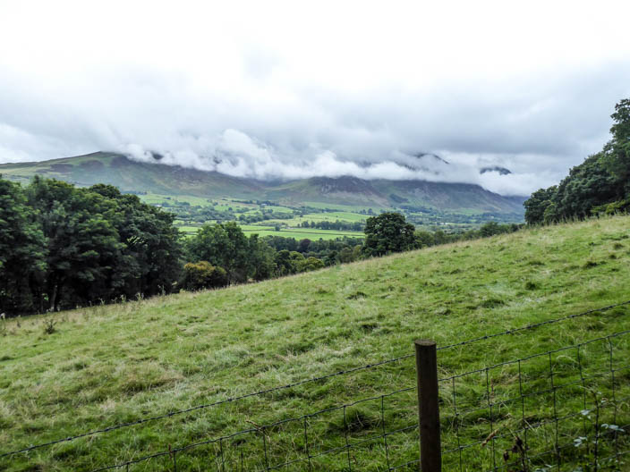
As we climb, low cloud covers the distant fells
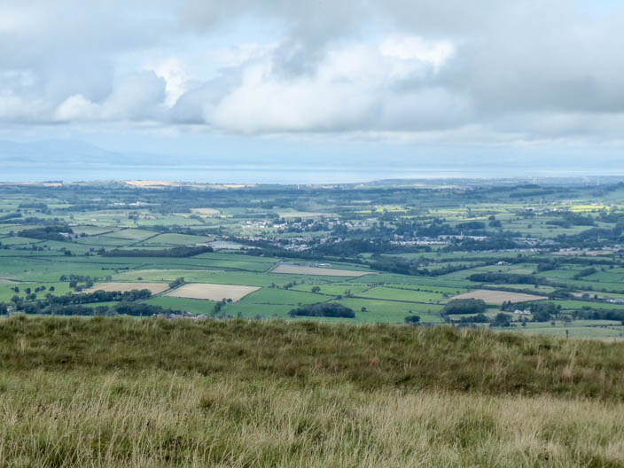
From a higher vantage point we can see the Solway Firth . . .
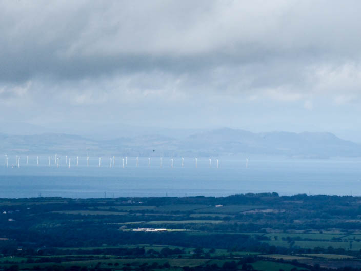
snd zoom in on a wind farm
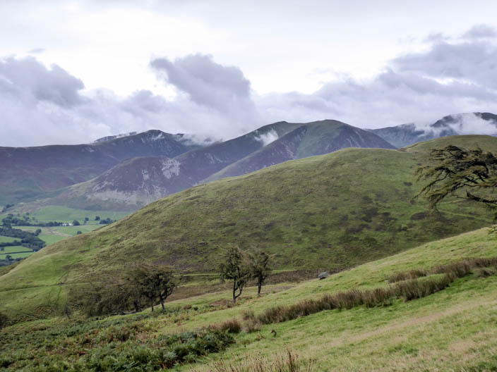
From our lunch spot we can see ridge upon ridge of Wainwright summits, taking in Whiteside, Grisedale Pike and Hopegill Head