Tuesday, 21st September 2021
| Walk: | 1st walk: Mousethwaite Comb, Souther Fell, road through Hazelhurst and Low Southerfell and back to car 2nd walk: Direct climb to trig point then circumnavigated the hillside on the way back. A short visit to Castlerigg Stone Circle on the way back. |
||
| Start Point: | Parking area at Scales Lay-by near disused quarry |
Grid Reference: | |
| Distance: | 5.8 mls 1 mile |
Ascent: | 1,240 feet 408 feet |
| Time: | 2.5 hours 1 hour |
||
| Weather: | Dry and mild with a cool breeze at times | ||
| Comments: | First walk: A steep ascent on good terrain. The road walk back to the car was rather tedious. Second walk: Another steep ascent but much shorter. Castlerigg Stone Circle partly spoiled by people sitting on stones. |
||
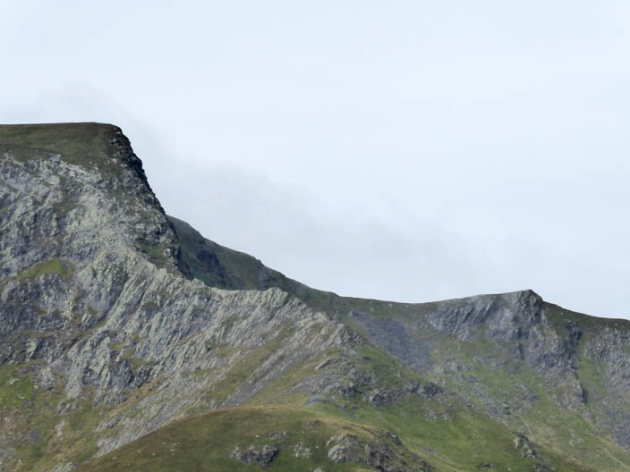
Zooming in on Striding Edge

First cairn on Souther Fell with Bannerdale Crags and Blencathra in the distance
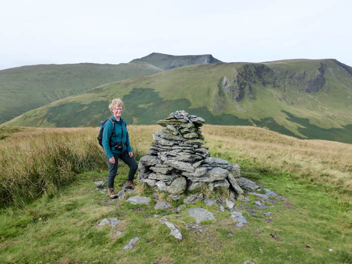
And again
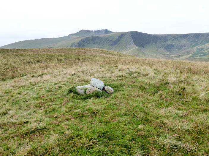
Souther Fell summit . . .

and again
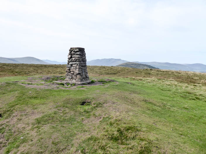
Second walk to summit . . .
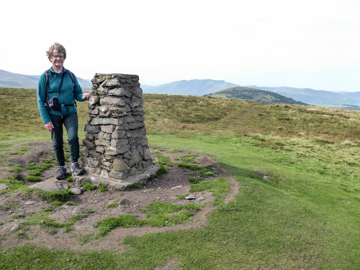
of Little Mell Fell
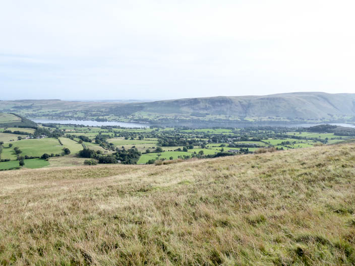
Descending from the summit Ullswater comes into view
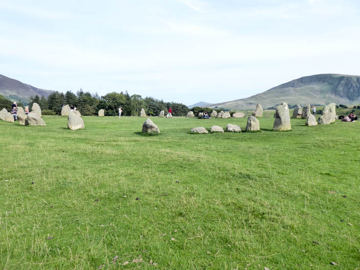
Castlerigg Stone Circle