Sunday, 28th July 2024
| Walk: | Clay House, Pendle Road, Hookcliffe Plantation, Barkenfield, Worsaw End House, Chatburn Road, A59 Bridge, Railway Bridge, Fairy Bridge, Rimmington Lane, Downham Green, Downham | ||
| Start Point: | Downham car park | Grid Reference: | SD 784 440 |
| Distance: | 6.4 miles | Ascent: | 809 feet |
| Time: | 4 hours | ||
| Weather: | Sunny and warm | ||
| Comments: | A very pleasant walk with lots of opportunity for Luna to be off lead. The walk was taken from the Cicerone Guide, 27 Walking in Lancashire. A few changes were made after doing the walk in June and some changes today made it even better. (Note to self: updated map on OSMaps) |
||
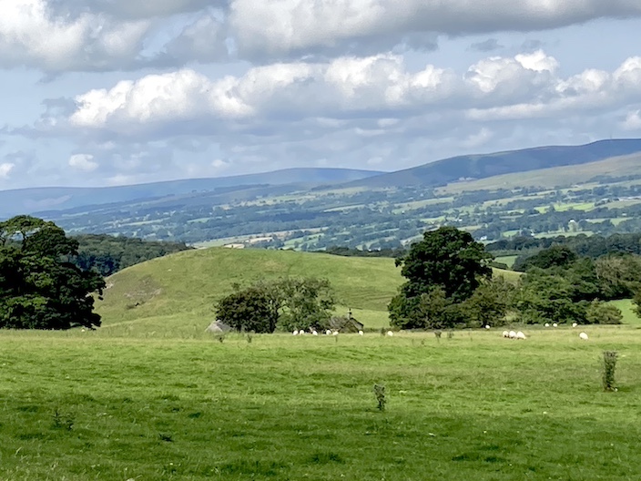
Gerna Knoll, the first of the reef-knolls on this route, deposited millions of years ago when the area was below the sea
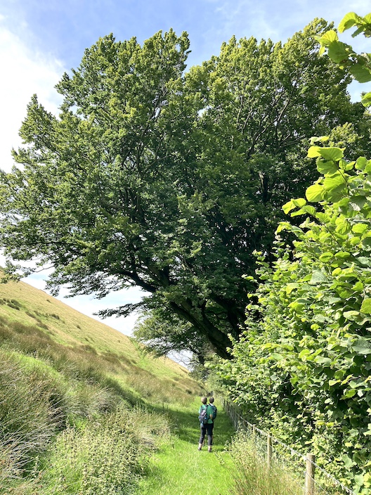
The re-routed path passes through Hookcliffe planatation then becomes a very pleasant green path with good views and a number of very large trees

Worsaw Hill

From beside Worsaw Hill the second reef knoll, Warren Hill comes into view . . .

with Crow Hill to its left and The Ridge hidden behind

A very overgrown paths takes us to the railway bridge . . .

which has its own label

The ancient packsaddle bridge is named as Fairy Bridge in the book but not on the map . . .

no, not taking a rest, just a photo opportunity for Luna and myself

Having passed through the kissing gate into Downham . . .

an older version, a squeeze stile, is still in place