|
Grike, Crag
Fell & Lank Rigg
20/10/2013
| Walk: |
Scaly Moss, Kinniside Stone
Circle, Grike,
Crag Fell,
Whoap, Lank
Rigg, Whoap Valley, Stinking Gill |
| Start Point: |
Scaly Moss, small parking area just
before the junction with the footpath |
Grid Ref: |
NY 061 136 |
| Distance: |
8.5 miles |
Ascent: |
2,200 feet |
| Max Altitude: |
1,819 feet |
Time: |
4.75 hours |
| Weather |
Windy and heavy rain at
times |
| Comments: |
Contouring across from the
parking area we located Kinniside Stone Circle.
According to Wainwright this was created in 1925 by a
local archaeologist. From Grike there were some views as
the mist swirled around so we quickly moved on to Crag
Fell. Here we found a sheltered spot for our morning
stop with good views to Ennerdale Water. After dropping
down to the plantation - where most of the trees have
been felled, we took a bearing across to Whoap where the
rain decided to arrive in force. By the time we had
reached Lank Rigg the rain had eased but the mist was
still surrounding us. Consequently we quickly retraced
our steps to Red Gill. As we headed into the Whoap
Valley the mist cleared and we took advantage of some
nearby rocks for our lunch stop. A boggy path took us
through the valley to cross a swollen beck and head over
the hause to the road and back to the car. |
Scroll down to see photos of the walk
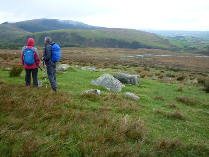
Kinniside Stone Circle . . .
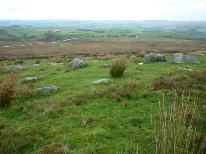
close to the road into Ennerdale Bridge
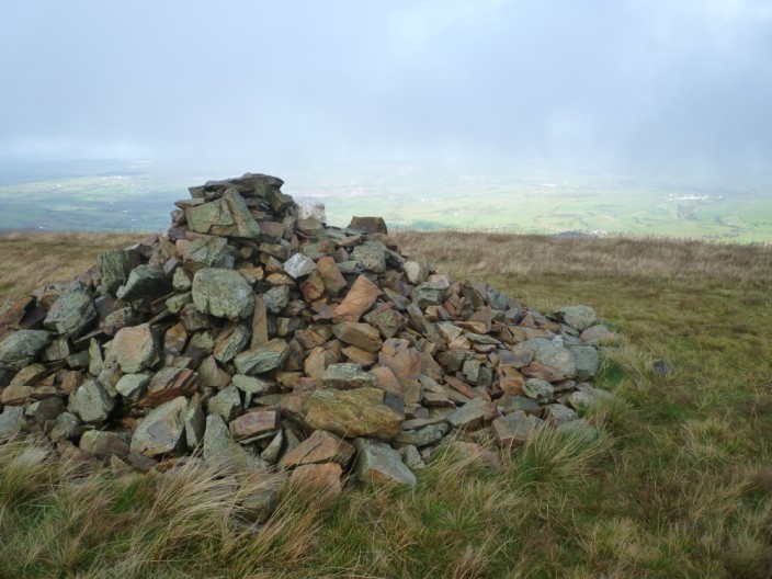
The sun breaks through the mist as we reach Grike . . .
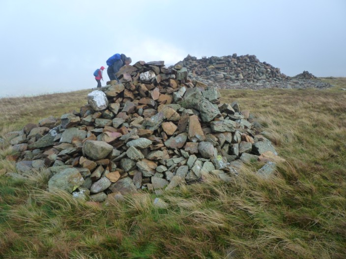
where there is a nearby shelter . . .
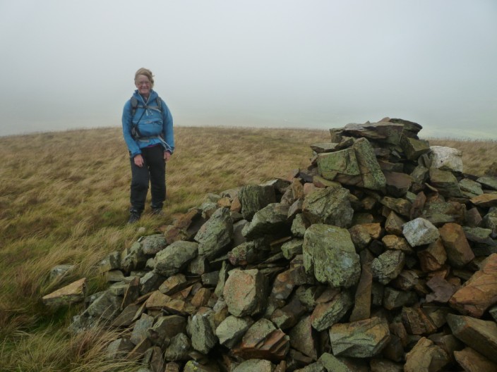
and I battle the strong wind
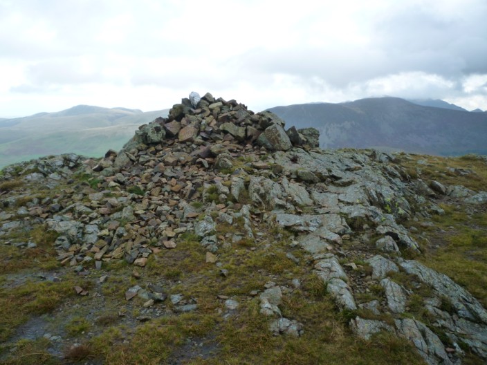
There are better views from Crag Fell . . .
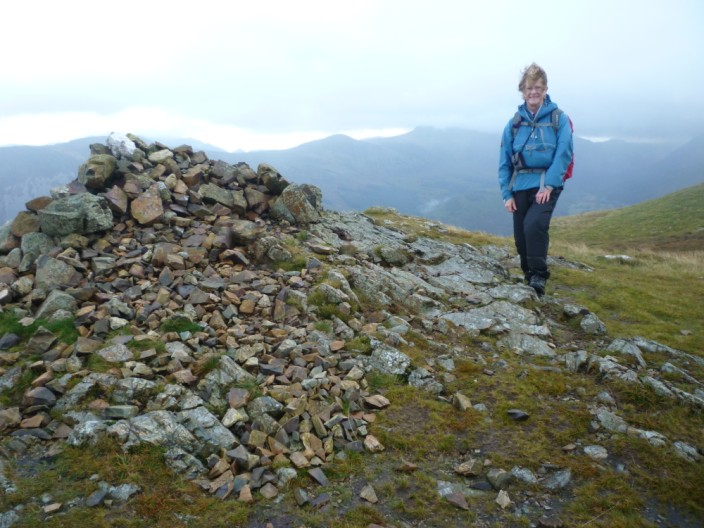
where we take time . . .
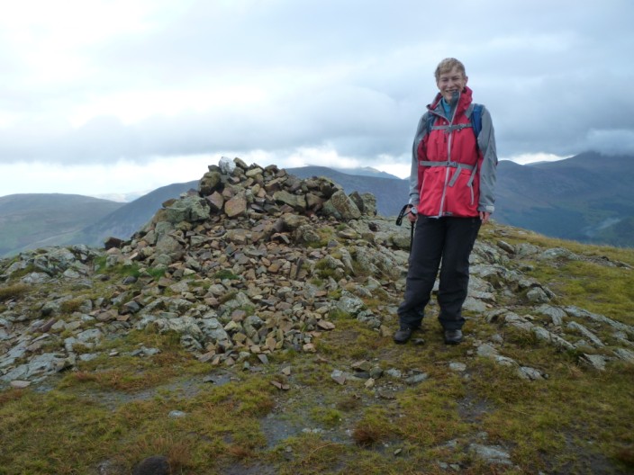
to record our visit . . .
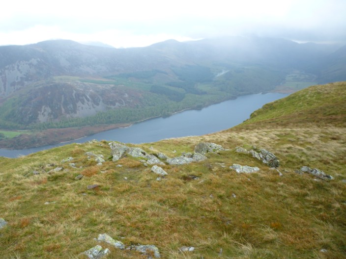
before finding a sheltered spot overlooking Ennerdale
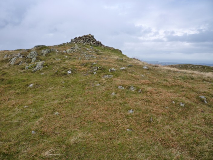
Leaving Crag Fell
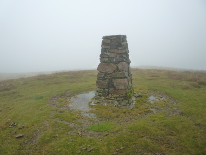
A very misty Lank Rigg . . .
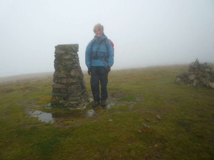
but at least the rain has just about stopped
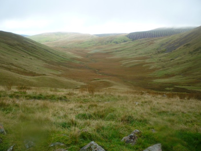
Looking down the Whoap Valley from our lunch spot . . .
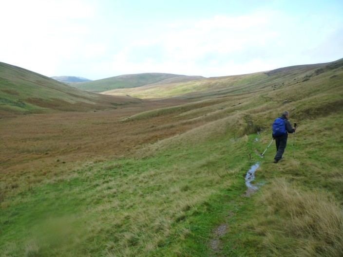
but soon it is time to tackle the boggy path
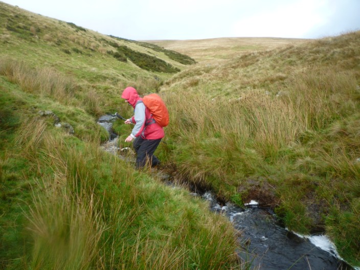
Sheila tries out her long jump techniques - crossing Stinking Gill
Return to top
Return to
Introductory Page
|


