| The Great Ridge Monday, 15th April 2013
Scroll down to see photos of the walk
St Peter's Church, Hope
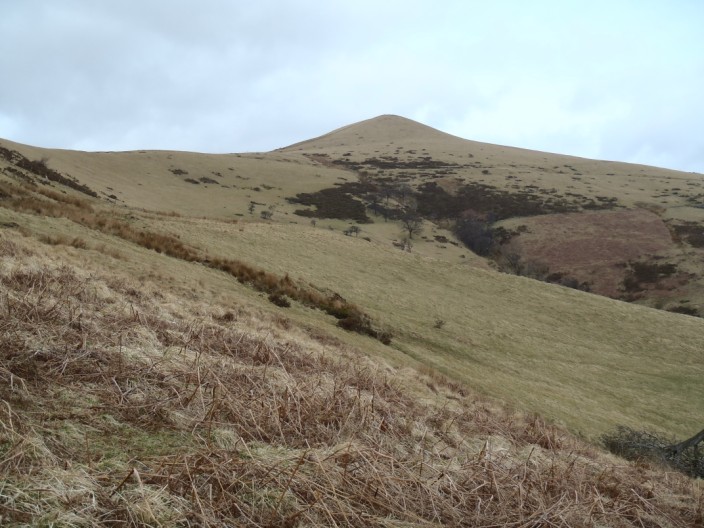
Beginning the climb over open pasture to Lose Hill . . .
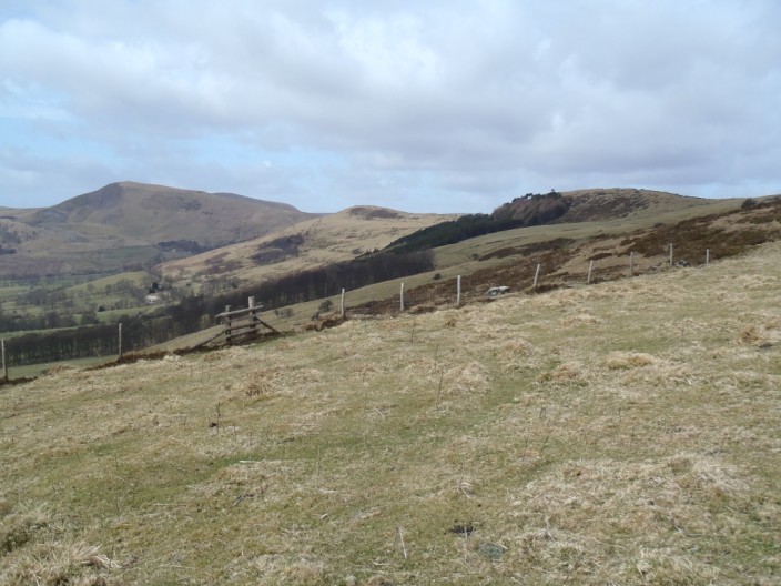
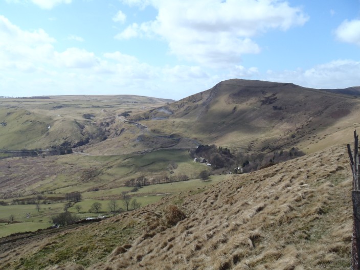
with Mam Tor to our left, joined to Lose Hill by The Great Ridge
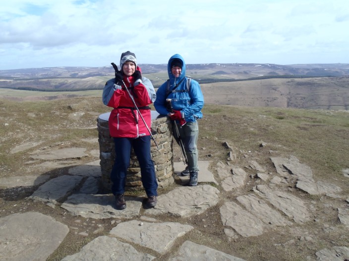
The wind is even stronger . . .
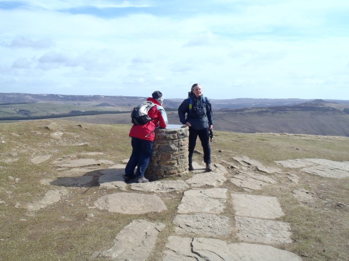
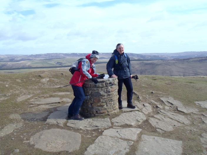
when we reach the summit . . .
of Lose Hill
Leaving the summit behind . . .
we heaqd out along the ridge
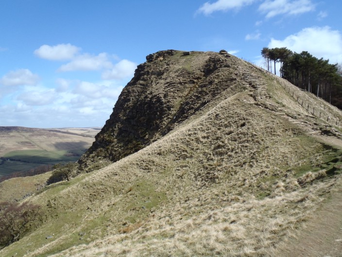
Fom Back Tor . . .
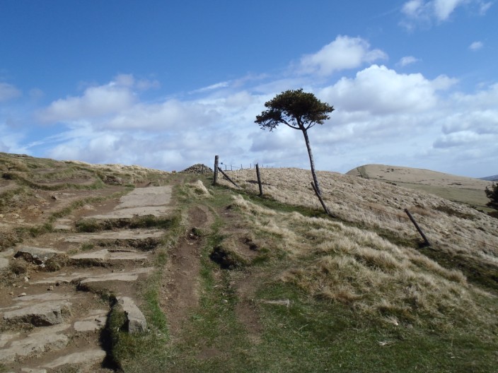
with its seemingly lone pine . . .
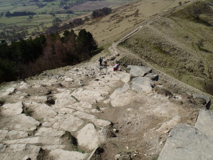
the steep descent is a little tricky in the wind
Looking back up to Back Tor . . .
the 'lone pine' no longer stands alone
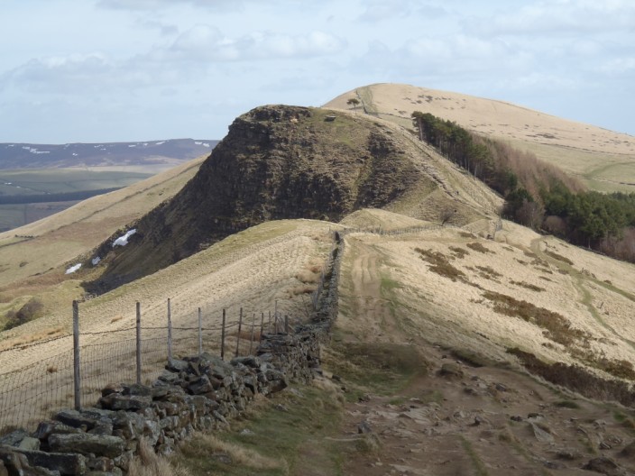
Looking over Back Tor to Lose Hill . . .
and ahead to Mam Tor
But first we stop at Hollins Cross
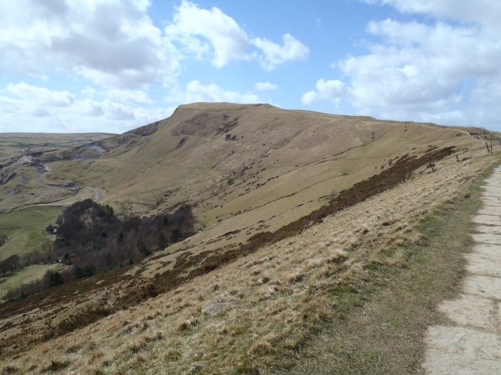
Following the paved pathway . . .
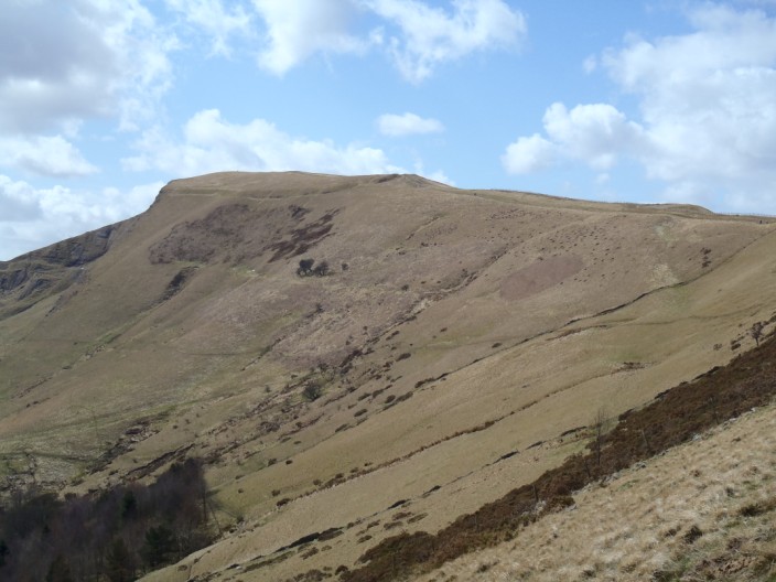
the line of the outer wall of the iron age fort is visible
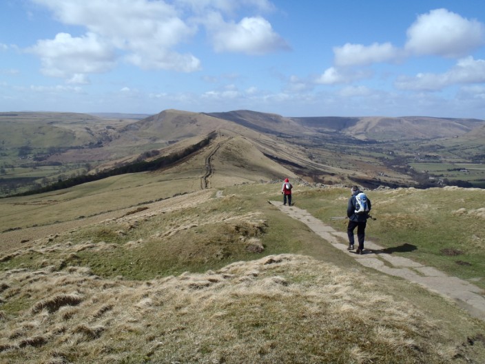
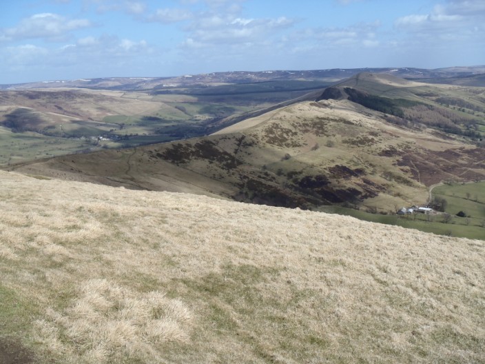
From Mam Tor there is a good view back along the ridge
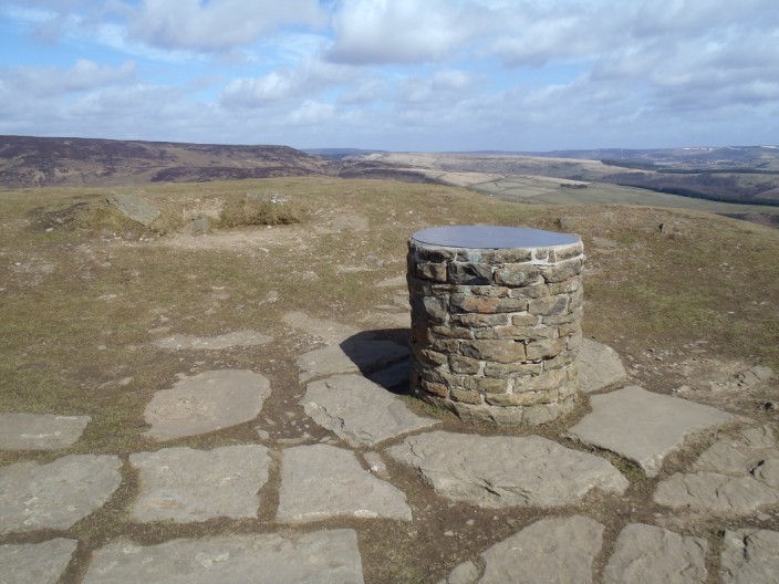
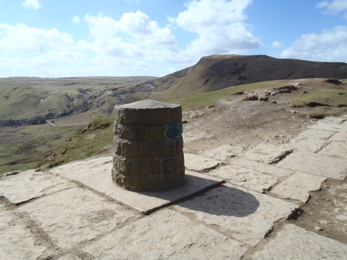
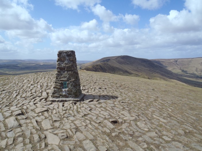
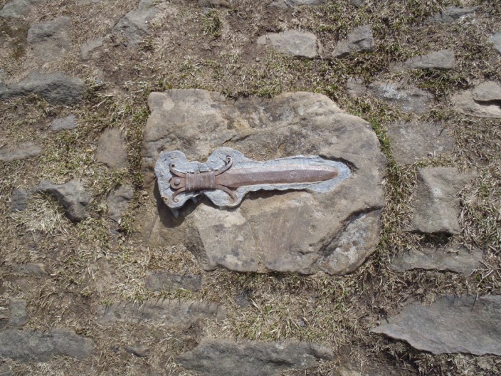
The cairn is surrounded by cobbles inset by . . .
a number of symbols
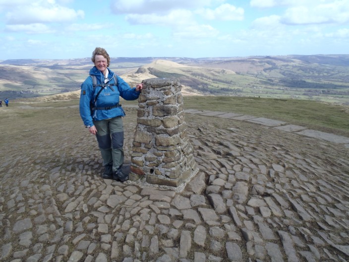
One for 'the album' at the cairn . . .
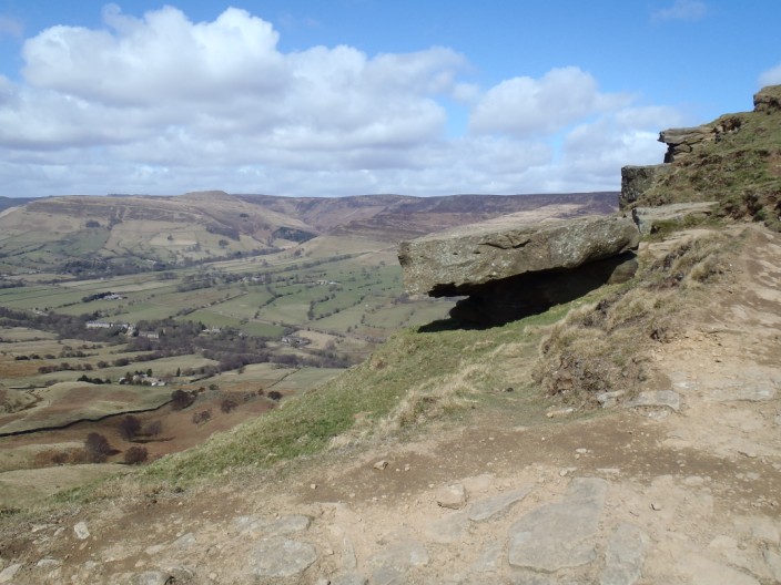
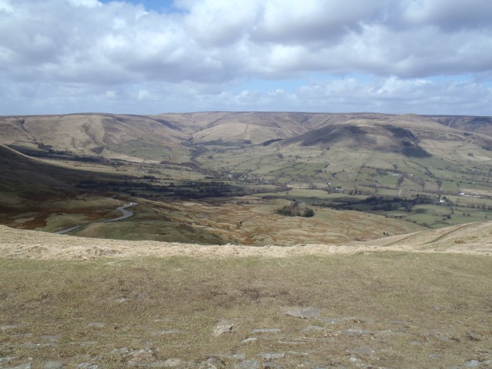
and across Edale Valley to Kinder Scout
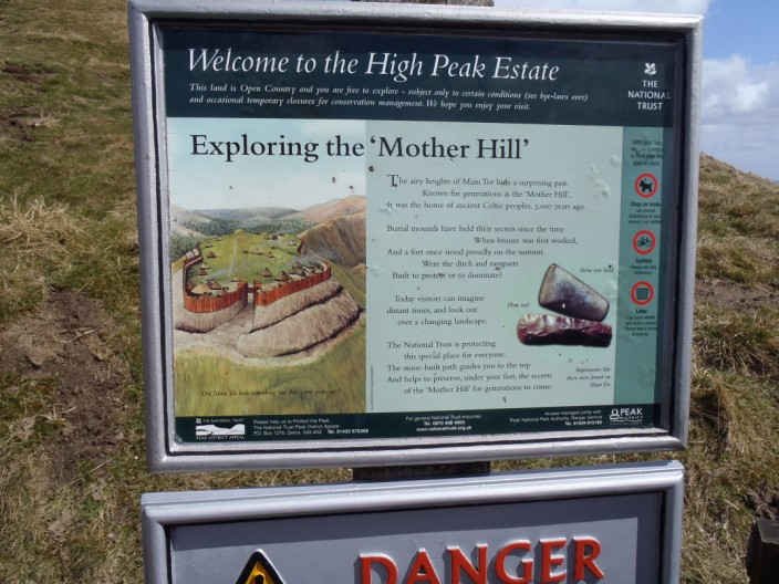
Leaving the summit behind we find an image of what the fort may have looked like
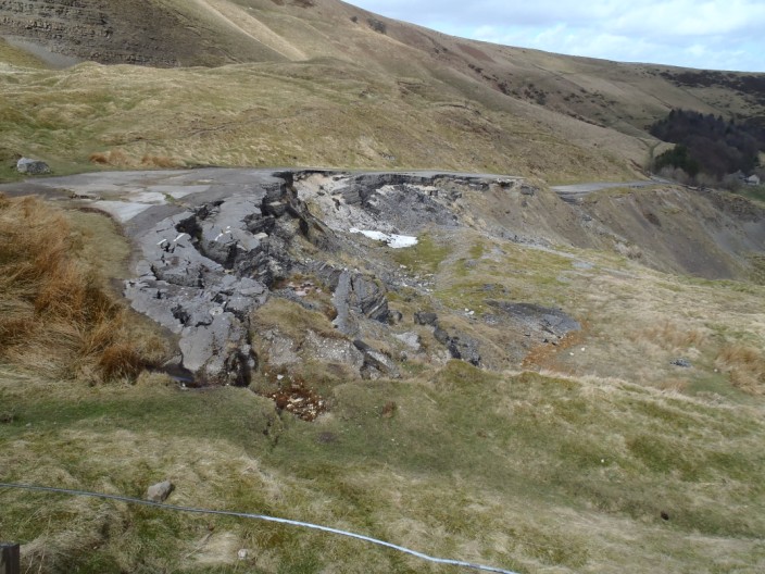
Walking on the disused road . . .
we can see where the landslip occurred . . .
in the seventies
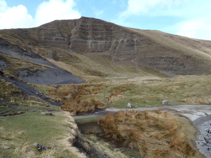
The area in front of Mam Tor is known as Little Mam Tor
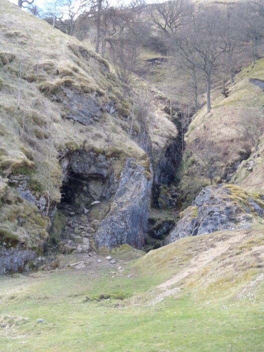
Odin Mine . . .
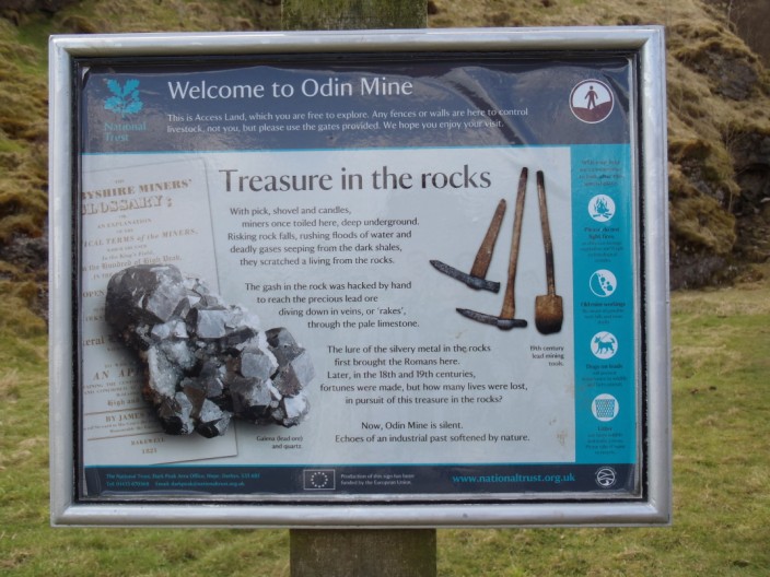
with its own information board
Nearby we walk past . . .
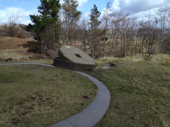
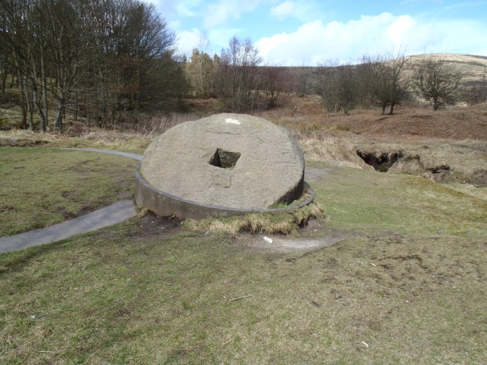
a crushing circle . . .
with what looks just like a millstone
|

