|
Sulaya Route
Tuesday, 4th June 2013
| Distance: |
12.5 miles |
| Total Ascent: |
3,135 feet |
| Total Descent: |
3,074 feet |
| Maximum Altitude: |
7,352 feet |
| Time: |
6 hours |
| Weather: |
Sunny, hot and very dusty |
| This was the free day but Al and Jane invited
those who wished to join them on a recce from
Capileira to Trevélez, returning by local bus. Three
of us took them up on the offer and set out from the
hotel to walk up the road from Capileira. Before
long the path left the road to climb more quickly,
cutting across the zig-zags, then rejoined the road
(a dirt track by this time) higher up. After
entering the National Park we left the road again to
make our way through woodland. Eventually we reached
an open ridge where a rocky outcrop provided a good
spot for lunch overlooking the Trevélez Valley. The
path then gradually descended across the hillside to
reach a contouring path, heading in the direction of
Trevélez. Entering the village at its highest point,
the cobbled middle section of the road between the
houses took us down to the church then on to the
village square - and time for refreshments before
catching the bus back to the hotel. |
Scroll down to see photos of the walk
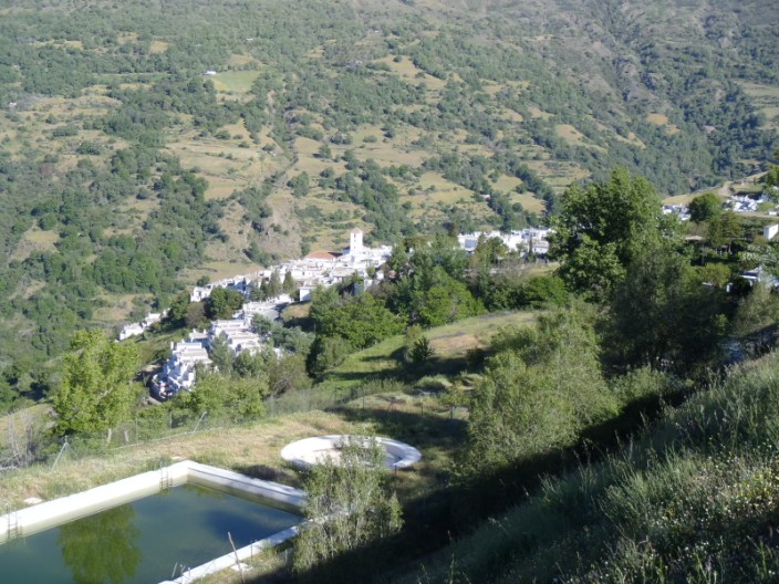
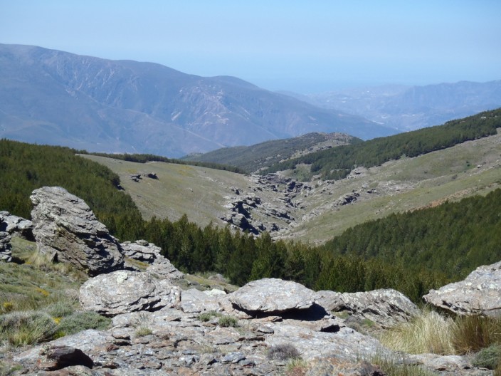
Looking back down to Capileira from the road . . .
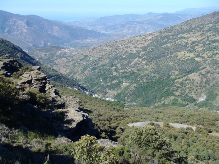
and down the valley towards the sea
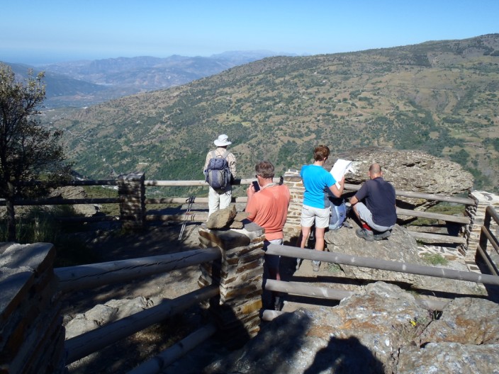
Time to check out the map . . .
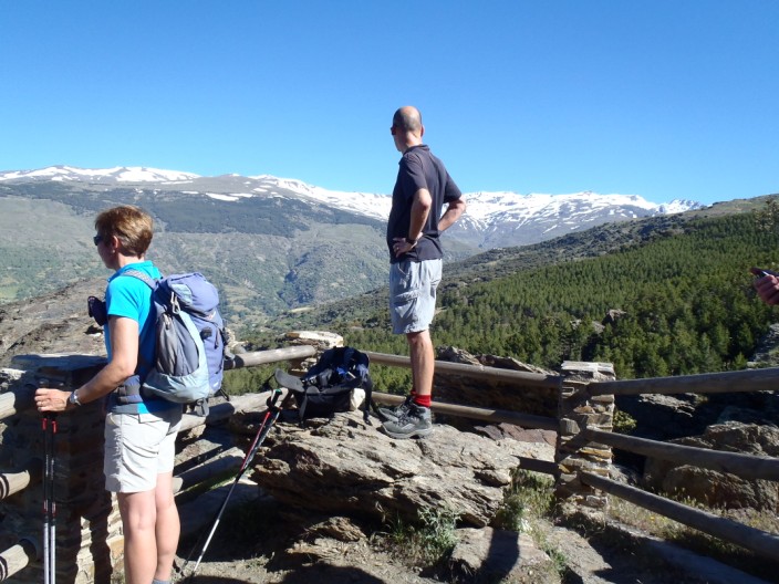
and admire the High Sierras
Deep in thought
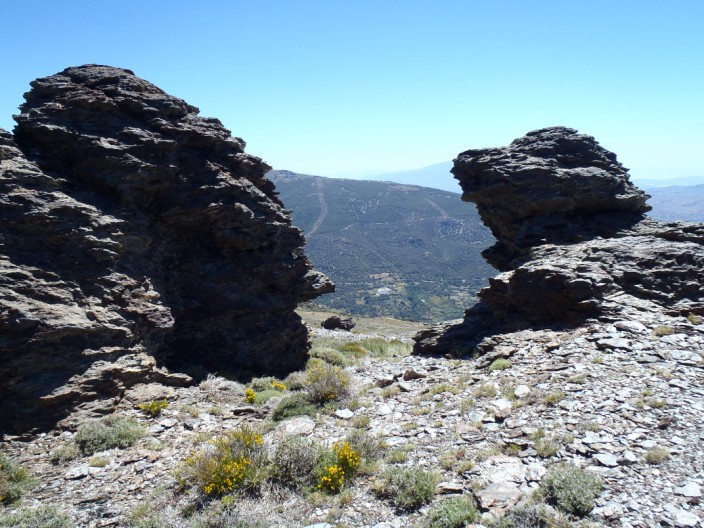
After reaching the open ridge . . .
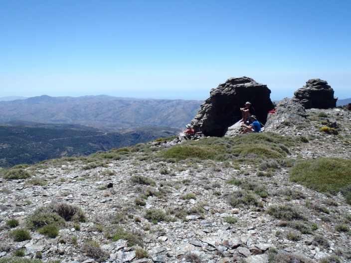
we find a rocky outcrop for our lunch stop . . .
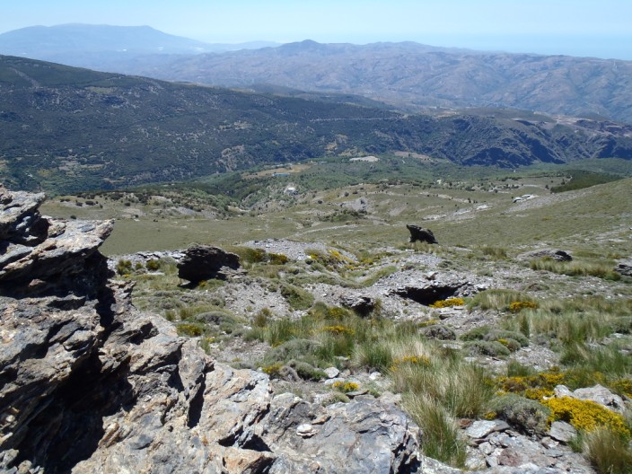
with views into the valley . . .
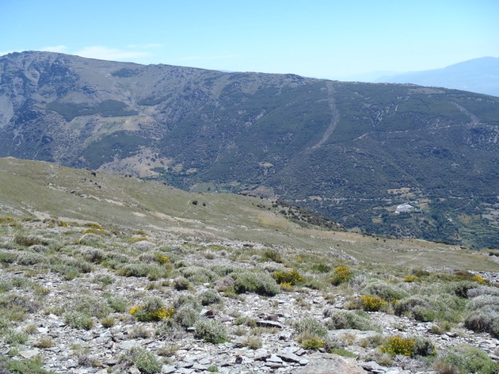
and across to the ridge we will explore later in the week
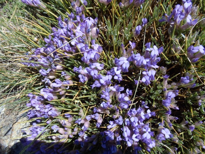
With time to spare . . .
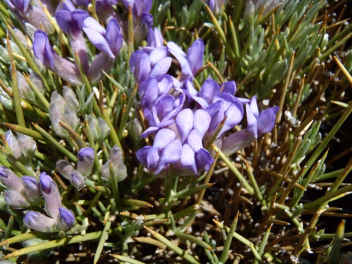
I decide to indulge in . . .
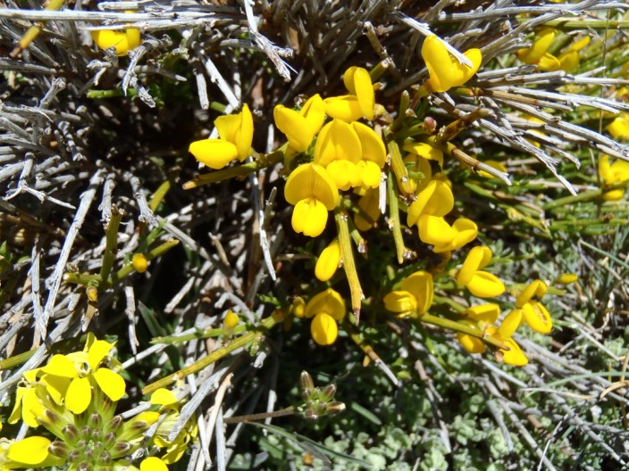
a little flower photography
The rocks where we had lunch . . .
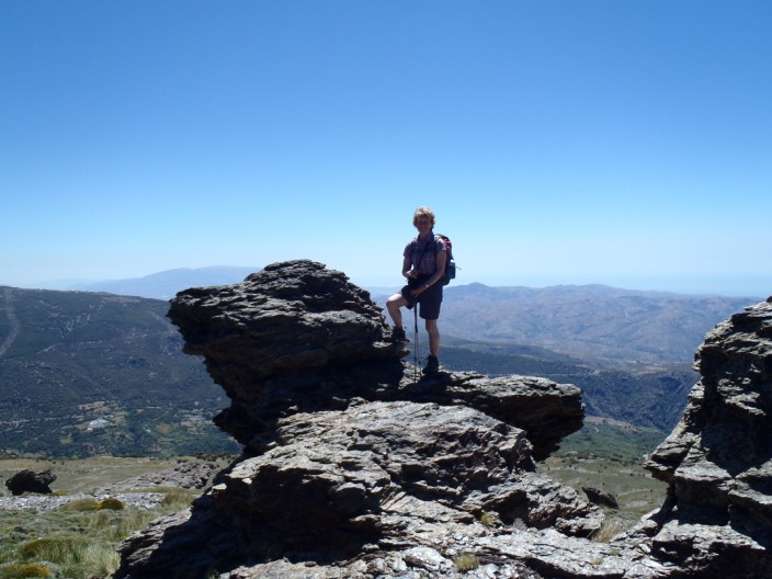
provide a great spot for a photo
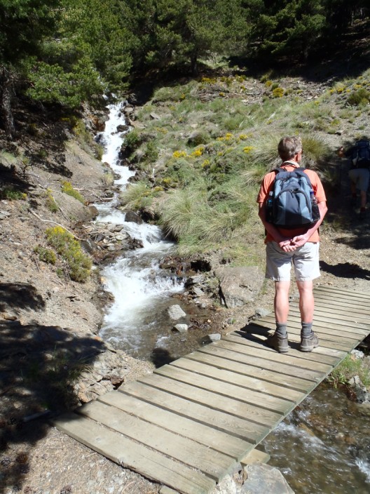
Contouring on the GR7 . . .
a rather dusty track . . .
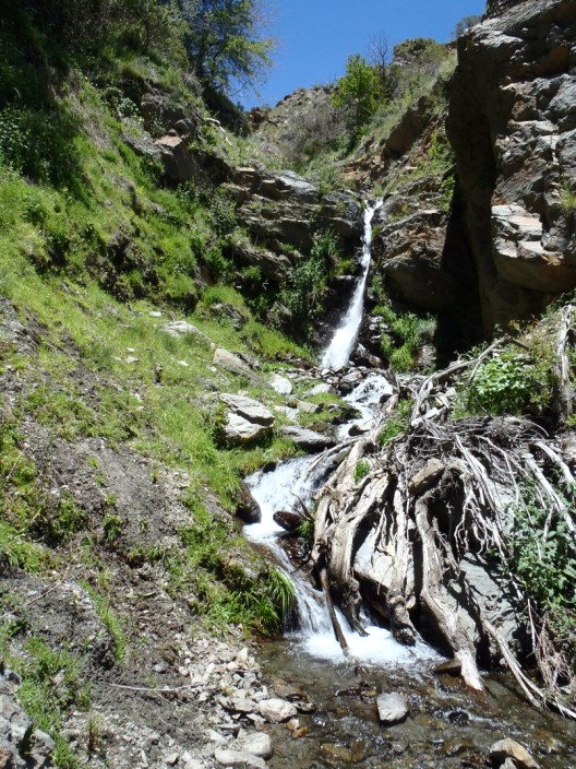
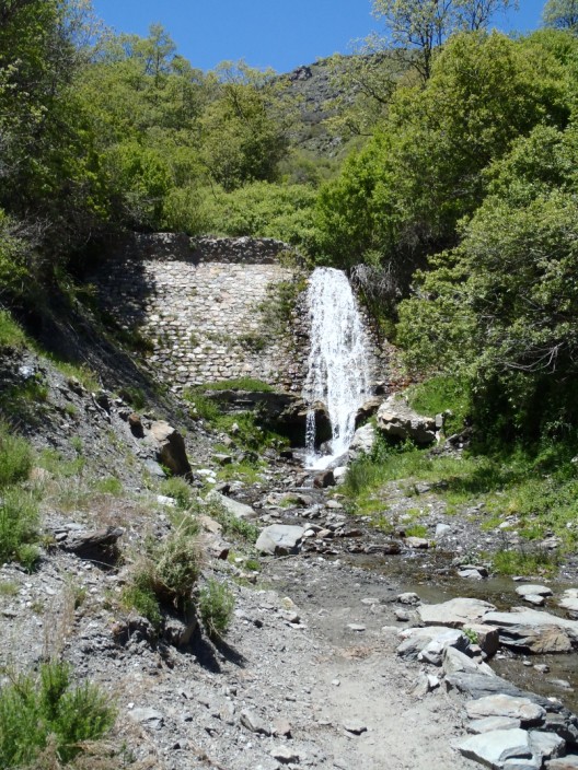
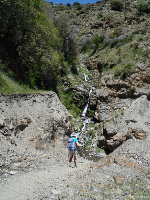
we passed a couple of waterfalls . . .

Haven't seen many cows on this holiday
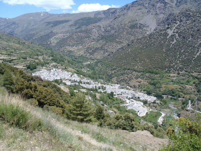
Trevélez comes into view
Return to top
Return to
Introductory Page
|