Friday, 8th July 2011
| Walk: | Mutterbergalm, Dresdner Hütte, Peiljoch, Blue Lake, Sulzenauhütte, Sulzenau Alm | ||
| Start Point: | Mutterbergalm | Distance: |
7 miles |
| Ascent: |
1,476 feet |
Descent: |
3,600 feet |
| Maximum Altitude: |
8,769 feet |
Time: | 5 hours |
| Weather: | Misty initially clearing to a sunny day | ||
| Comments: |
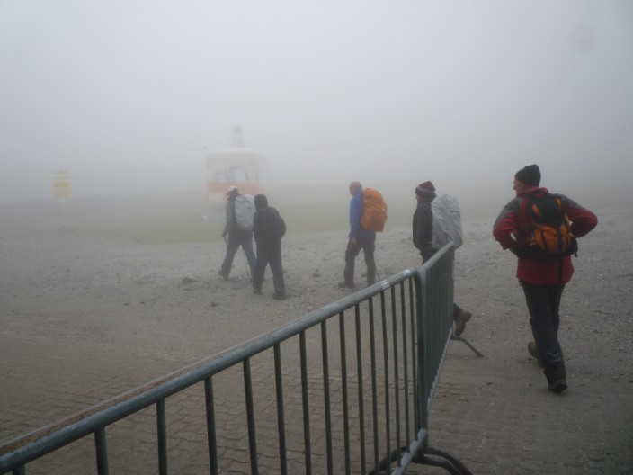
We caught the bus to the Mutterbergalm and took the gondola to the Dresdner Hütte station. With full waterproofs on we set off into the mist and began to climb the boulder field. As we gained height the mist began to clear and by the time we reached Peiljoch we had good views in all directions, including to the snout of the glacier. We descended on a good path, taking the ‘Wild Water’ route near the outflow from the glacier. A short detour took us to the Blue Lake before descending to the Sulzenauhütte. After a short break here we continued down to the Sulzenau Alm and on through the woodland to descend to the bus stop. |
||
Scroll down to see photos of the walk
Any idea where we are going?
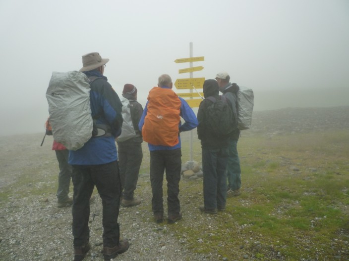
Perhaps the signs will help us!
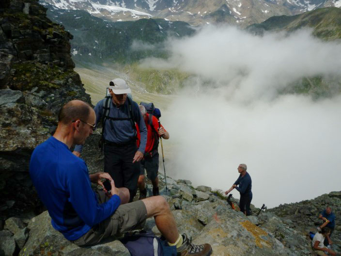
The mist clears as we climb higher, and the waterproofs can be stowed away
.jpg)
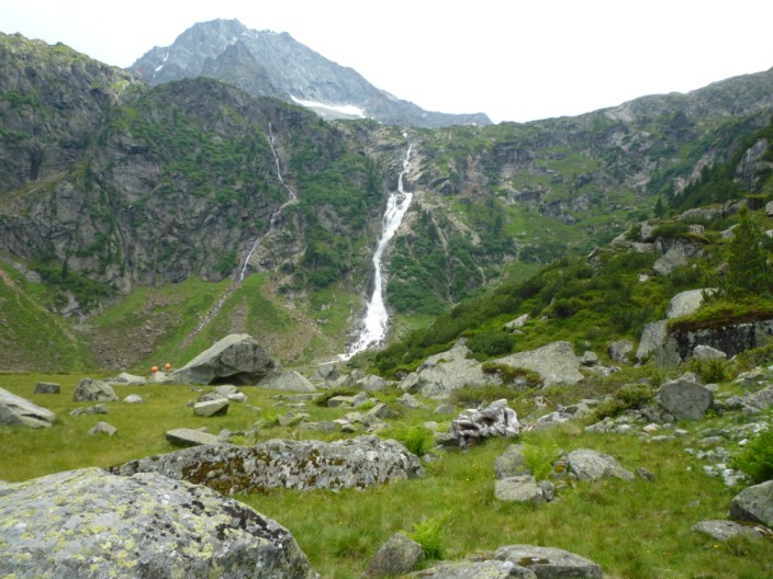
What a view!
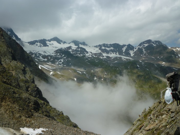
And there are more to come
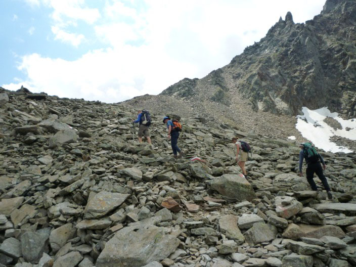
Over another boulder field . . .
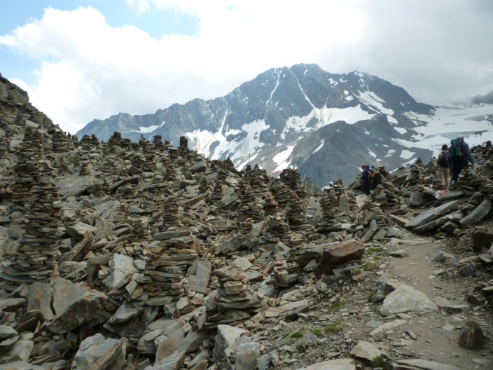
and someone has been busy building cairns on the col . . .
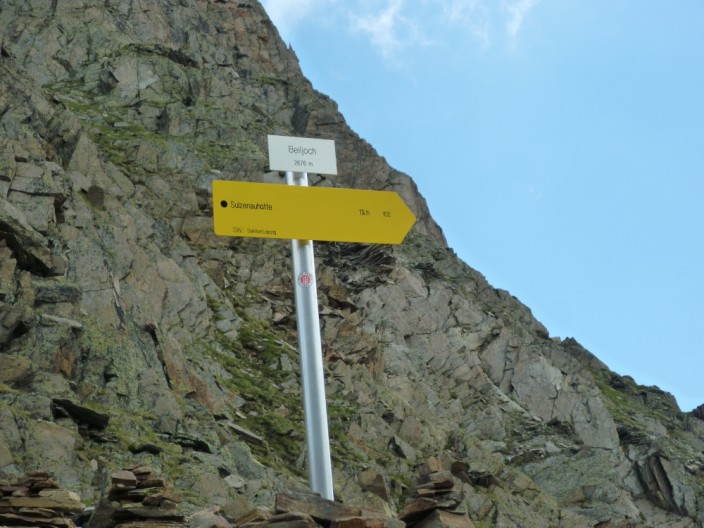
but check the sign - is it Peiljoch as on the maps, or Beiljoch as on the sign?
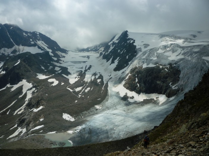
On the other side of the col . . .
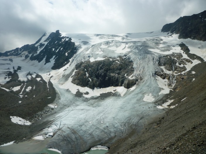
we find the snout of the glacier
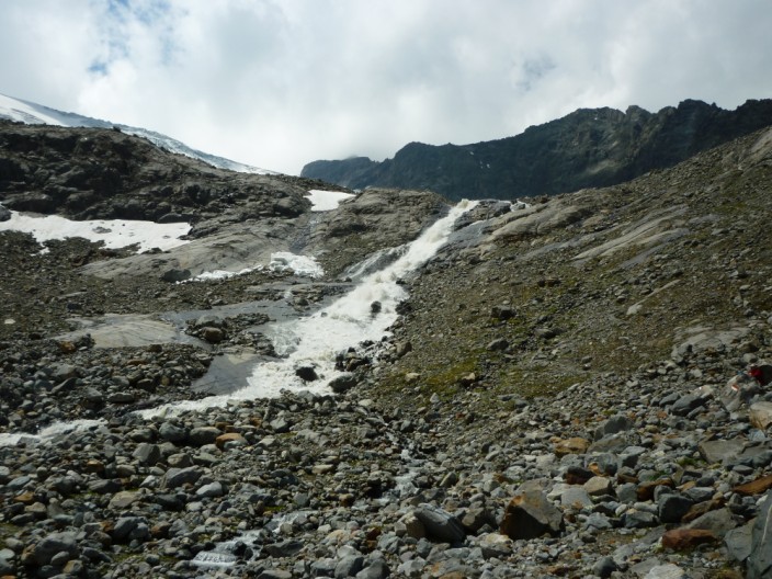
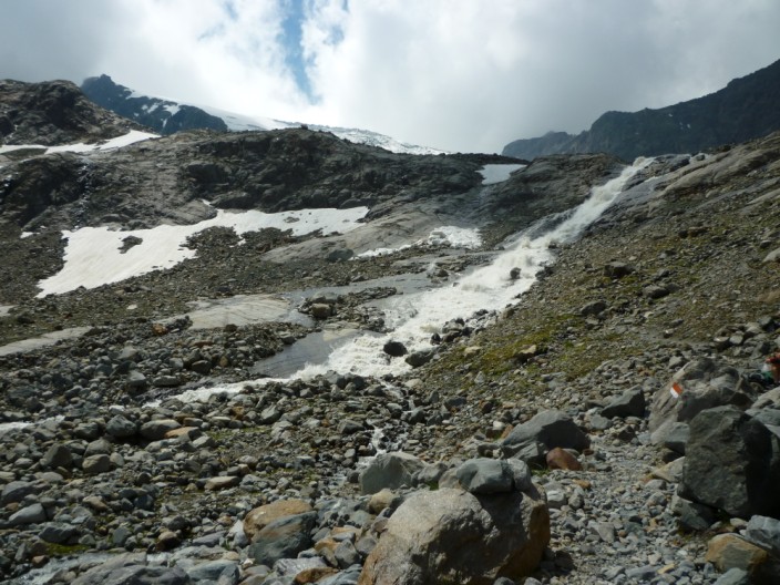
Heading downwards beside the outflow . . .
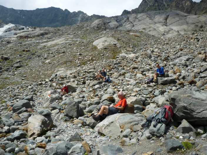
we find a sunny spot for lunch
and time for another photo
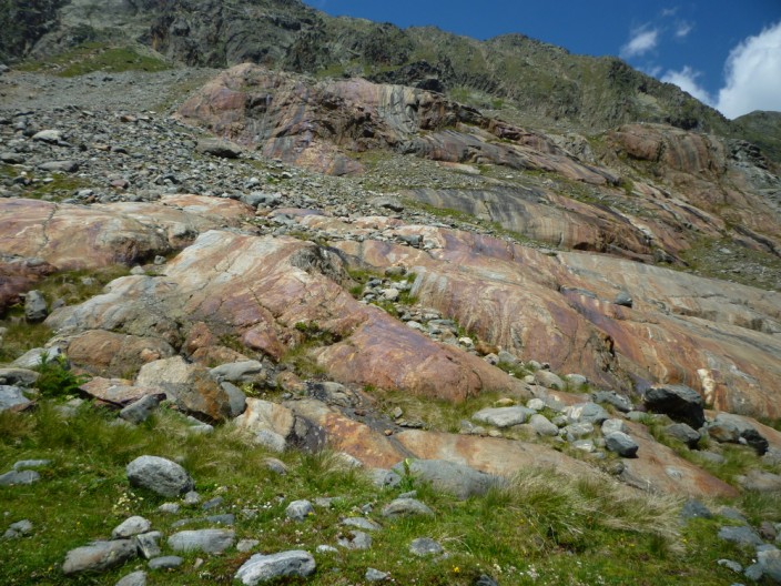
Must be some iron in the rocks here
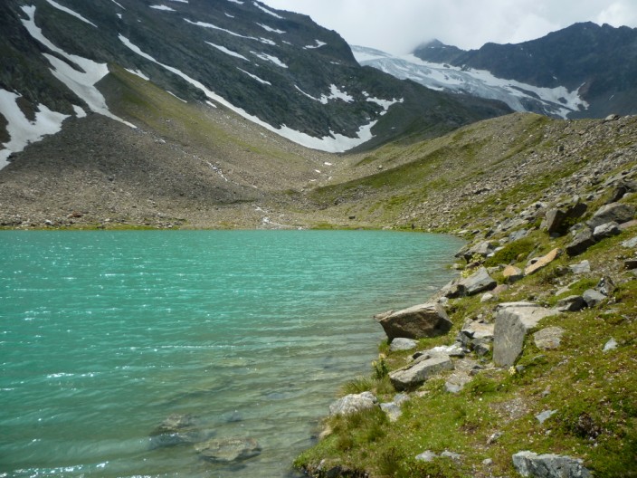
A detour takes us to the Blue Lake . . .
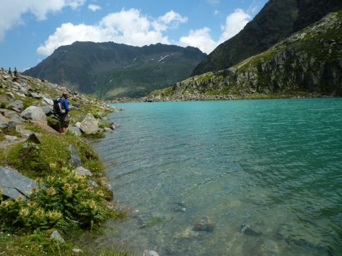
or should I say 'Blaue Lacke'
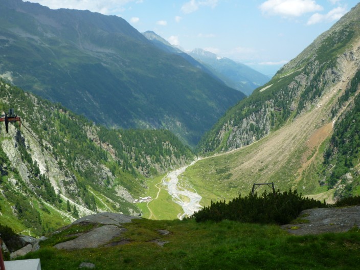
It looks a long way down from the Sulzenauhütte . . .
but a gradually descending path soon brings us to . . .
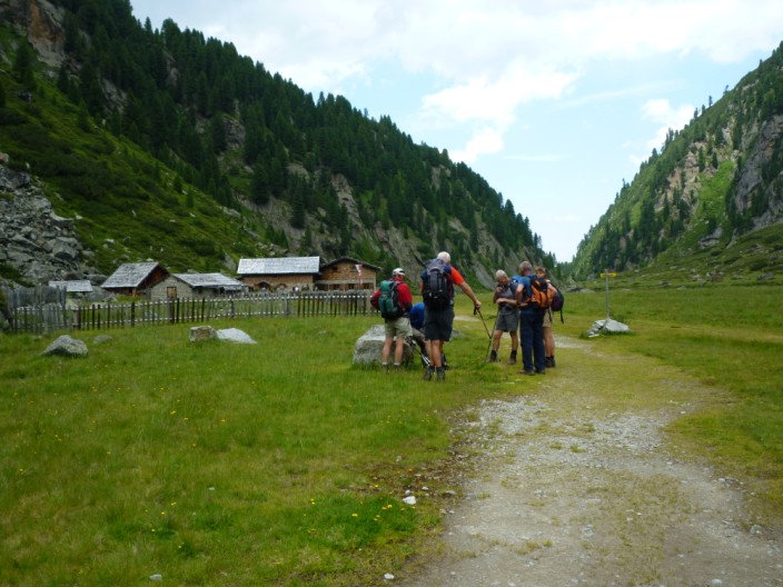
Sulzenau Alm, followed by a quick descent to catch the bus with 3 seconds to spare!