| Walk: | Hawes End, Brandelhow Park, Manesty Park, Grange, Castle Crag, Tongue Gill, High Spy, Maiden Moor, Hause Gate, Cat Bells, Hawes End | ||
| Start Point: | Hawes End | Grid Ref: | NY 247 211 |
| Distance: | 10 miles | Ascent: | 3,200 feet |
| Weather: | A dull but dry start with rain developing then clearing later in the day. | ||
| Accompanied by: |
Marie (leader), Ray, Many, John D |
||
| Comments: | A pleasant walk through the woods but quite a heavy downpour when we reached Grange. Good views on the tops with some mist over Glaramara and Dale Head. | ||
Scroll down to see photos of the walk
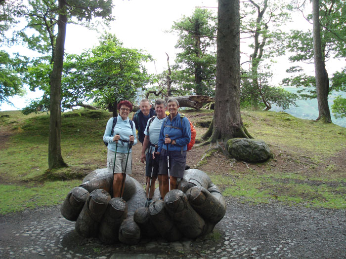
Looks like we have a helping hand for this walk
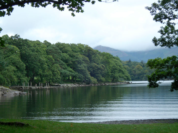
A tranquil scene at Victoria Bay as we walk through Brandelhowe Park
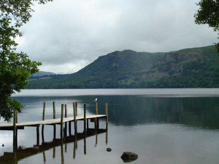
Brandelhow Bay gives a good view of Walla Crag
Castle Crag comes into view
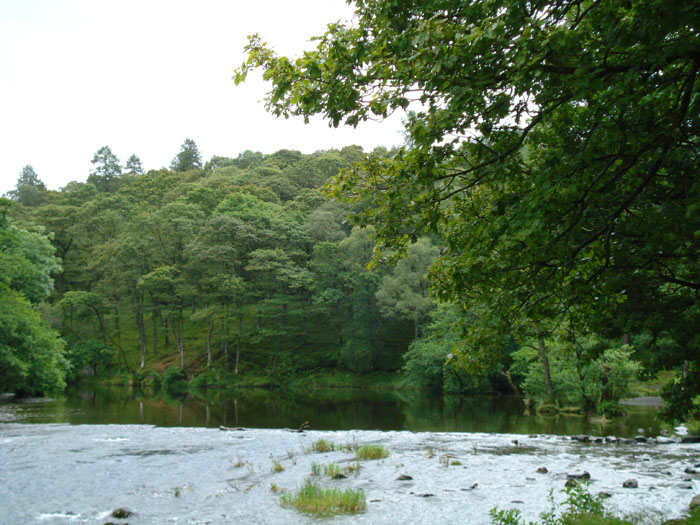
The mirror-like water of the River Derwent break up as it tumbles over stones in the foreground
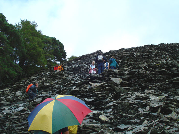
The zig-zag on the spoil heap leading up to Castle Crag - where are the passing places?

Marie and John inspect the memorial on the summit of Castle Crag
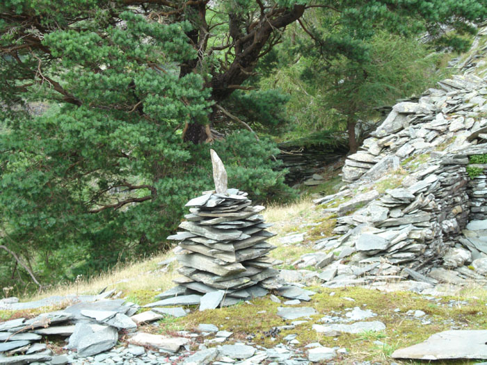
An unusual cairn on the ascent to Castle Crag - there are quite a few of these
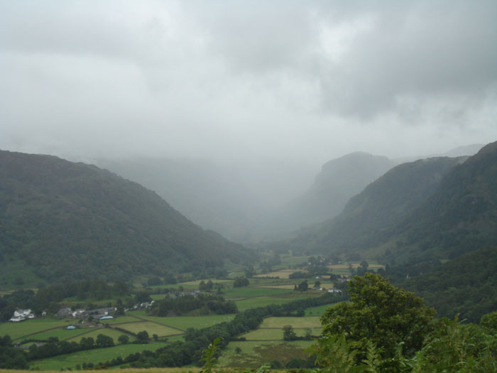
Eagle Crag emerges from the mist at the end of the Stonethwaite Valley
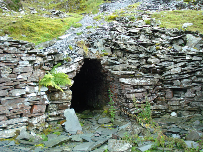
Mine workings at the disused Rigghead quarry- but the tunnel does not go far
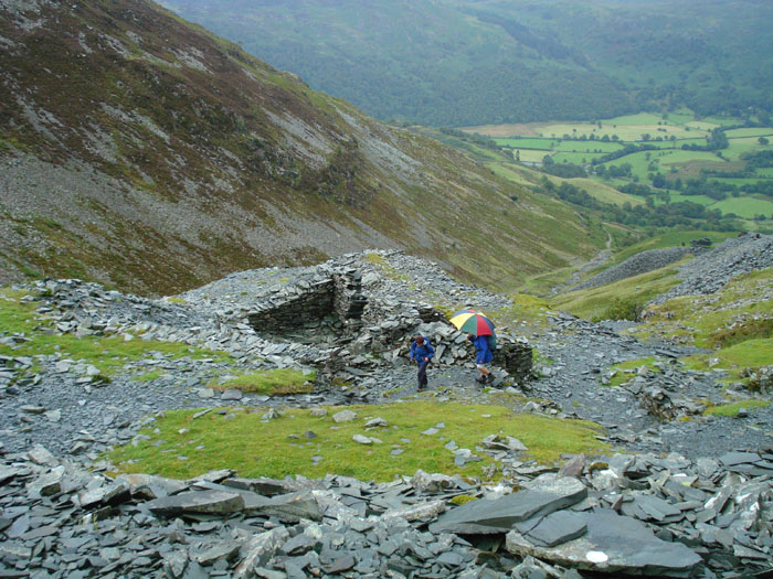
Looking over Rigghead quarry to Tongue Gill
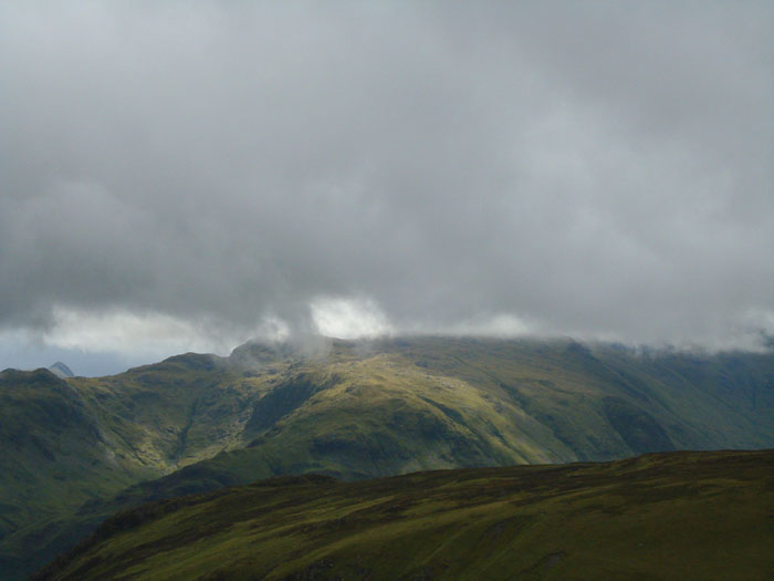
A sunny Glaramara peaks out from below the low cloud
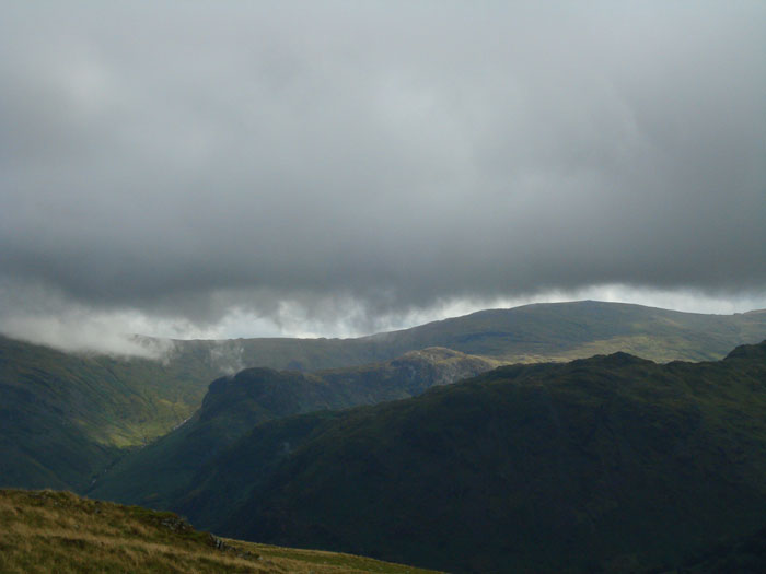
Eagle Crag, now clear of mist, with the Ullscarf ridge behind
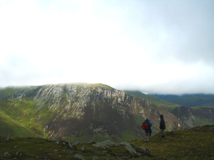
The rocky face of Hindscarth
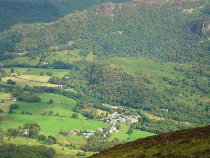
Littletown does look rather small from here
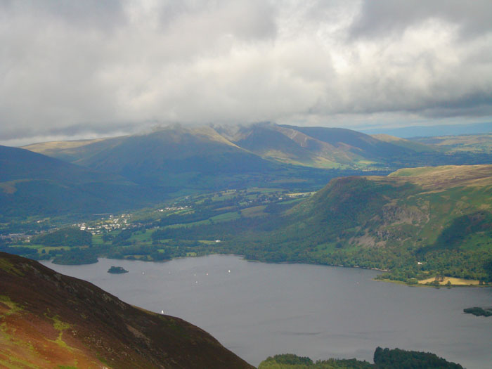
Clouds brush the top of Blencathra while the sun catches some houses in Keswick
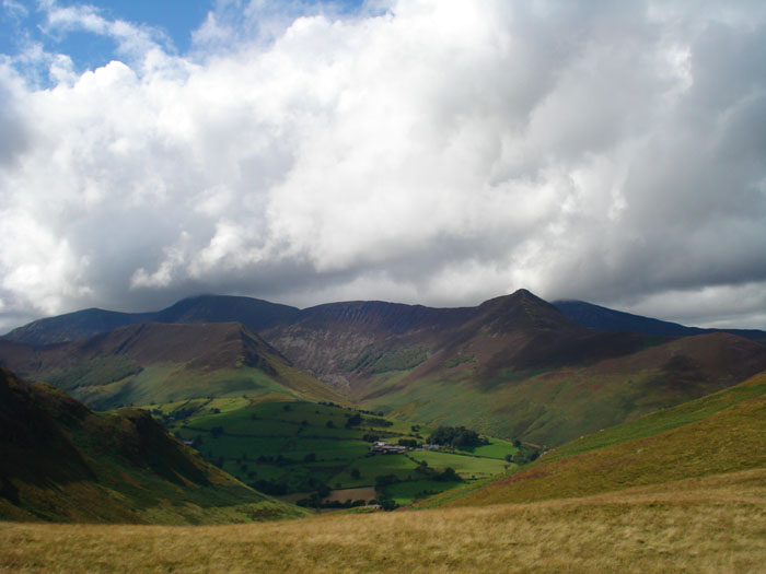
Ard Crags, left of centre, are swamped by Causey Pike and Crag Hill
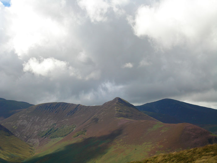
The light picks out the ridges on Scar Crags, with Causey Pike and Grisedale to the right
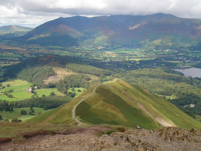
Leaving the rocky top of Cat Bells the route down is obvious

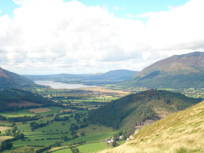
The green Newlands Valley leads down to Hindscarth, Robinson and Red Pike
Bassenthwaite, with Binsey and Skiddaw to the right
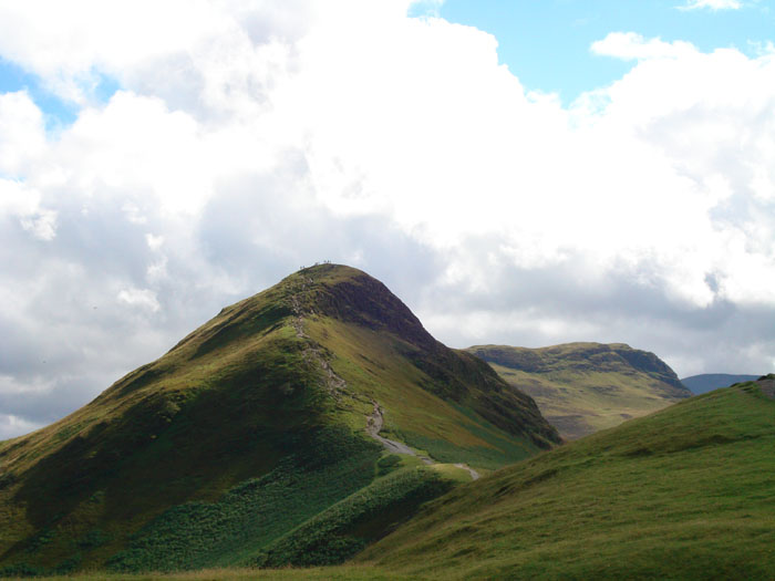
A last look back at Cat Bells reveals another group of 'summiters'