| Walk: | Moor Howe, Dubbs Road, Sour Howes, Moor Head, Sallows, Kentmere Park, Mickle Moss, High Borrans, Moor Howe | ||
| Start Point: | Moor Howe | Grid Ref: | NY 423 006 |
| Distance: | 8 miles | Ascent: | 1,300 feet |
| Weather: | A chilly day with some sunny spells early on but mainly cloudy | ||
| Accompanied by: |
On my own |
||
| Comments: | Ascended Applethwaite Common over the rocky ridge, giving good views on both sides. The path leads straight onto Sour Howes but the cairn that used to be there is non-existent. Heading directly North instead of dropping down to the wall, as marked on the map, was a much better path. The path leading through Kentmere Park seemed to be heading too far East so turned in a more southerly direction to cross the fence at a stile and join the main Kentmere to High Borrans track. | ||
Scroll down to see photos of the walk
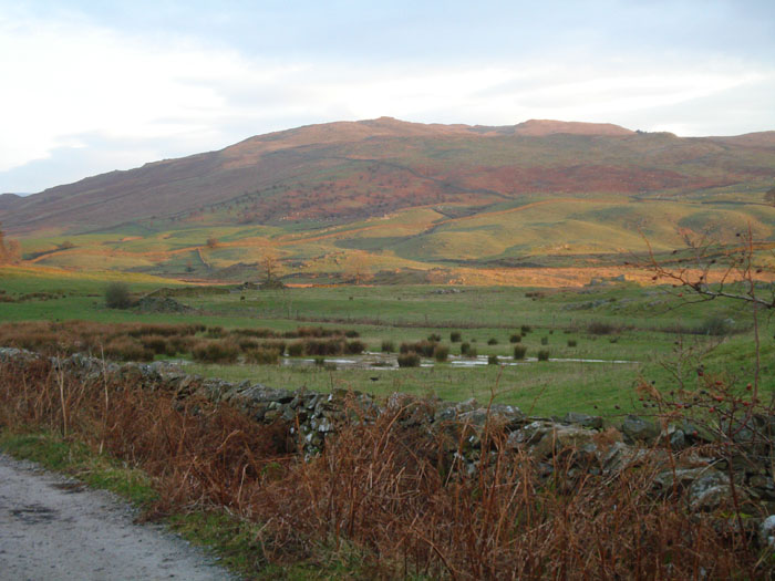
The sun catches the rolling hillside of Applethwaite Common
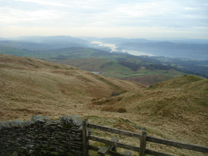
Troutbeck and Wansfell Pike from Dubbs Road
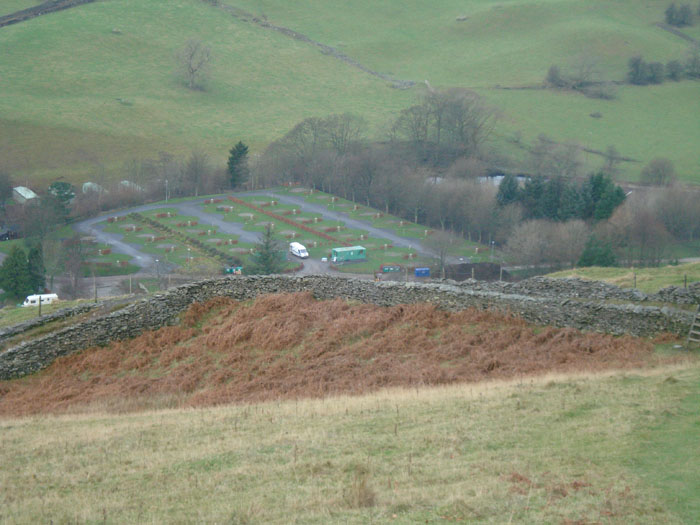
Only one hardy sole left on Limefitt caravan park
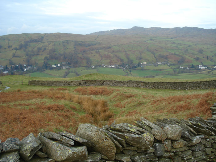
Applethwaite Common with Windermere in the distance
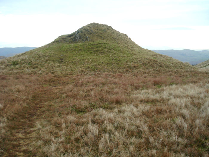
Approaching Sour Howes, the highest amongst many hillocks
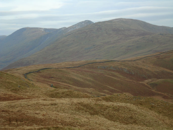
Yoke, Ill Bell and Froswick from Sour Howes

Looking back up to Sour Howes

Sallows summit mound
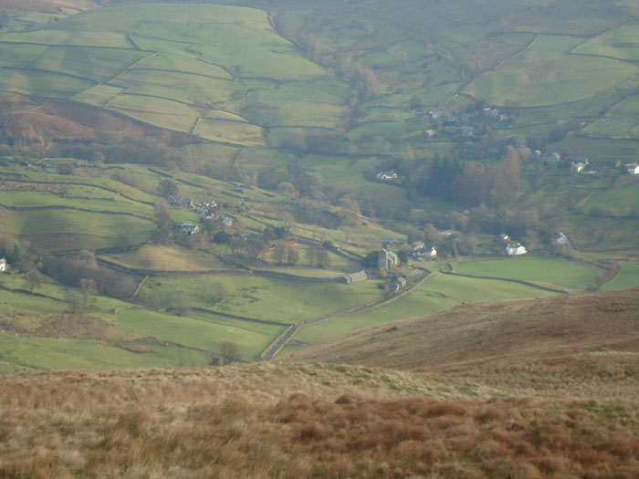
Kentmere
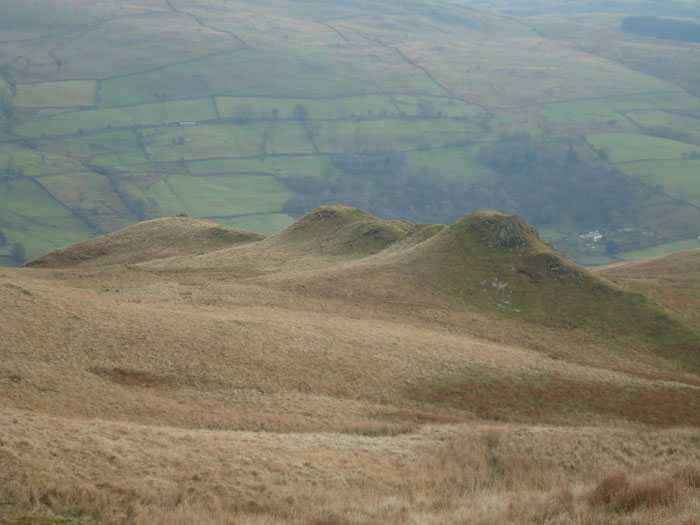
Scour Rigg - unusually pointed in this area of rolling hills
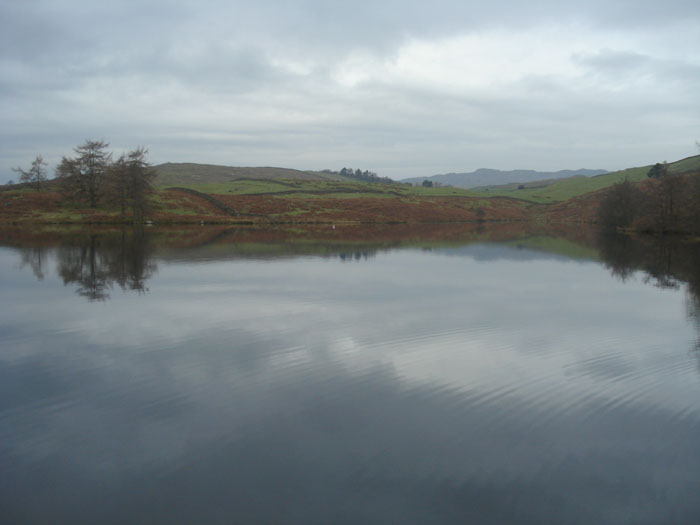
High Borrans reservoir
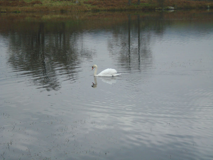
One swan . . .
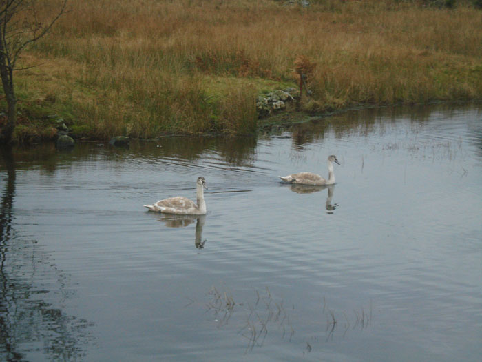
plus two cygnets . . .
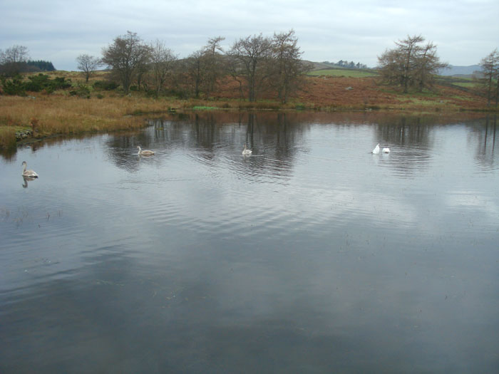
actually a family of 2 swans and 3 cygnets
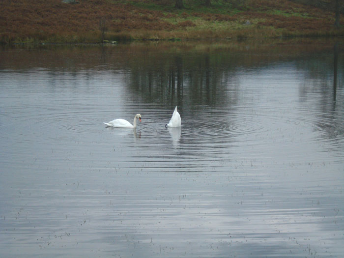
The adults are busy feeding . . .
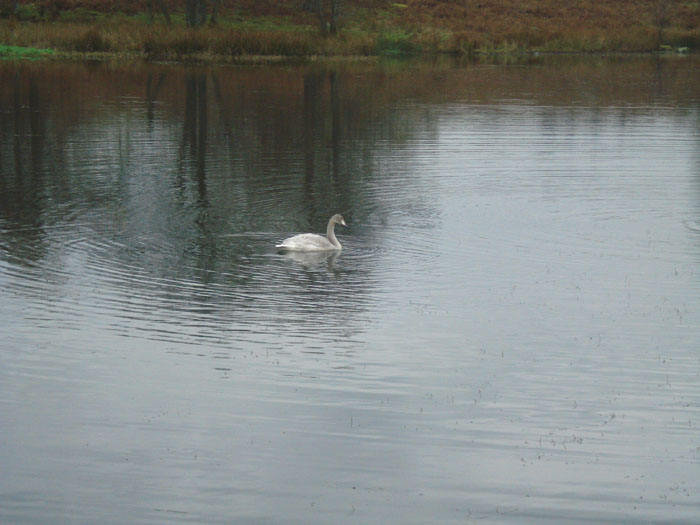
and one cygnet comes to take a look . . .
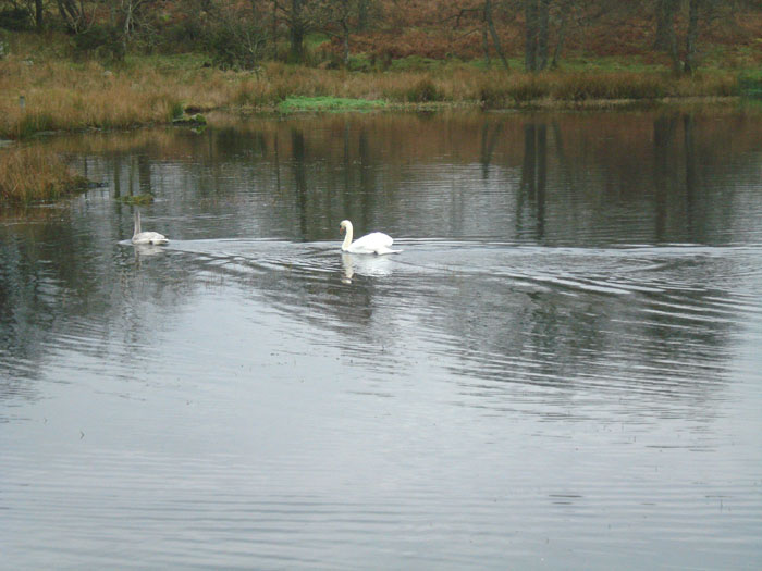
but gets chased off by one of the adults . . .
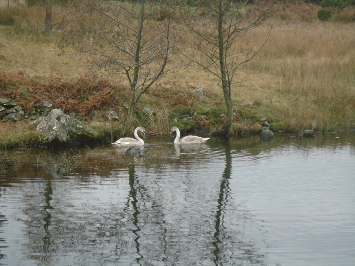
while the other two cygnets play at making mirror images