| Walk: | Moor Howe, Dubbs Road, Sour Howes, Sallows, Garburn Pass, Kentmere Hall, Whiteside End, High Borrans, Moor Howe | ||
| Start Point: | Moore Howe / Dubbs Road | Grid Ref: | NY 423 006 |
| Distance: | 10 miles | Ascent: | 1,800 feet |
| Weather: | Mist and drizzle for most of the day | ||
| Accompanied by: |
Marie, Gill, Andrea (and Shep), led by me |
||
| Comments: | There was some drizzle to start and we climbed into mist soon after we left Dubbs Road. Sour Howes summit was difficult to spot in the mist. We descended out of the cloud as we dropped towards Kentmere but distant views were still hazy. There were a lot of mountain bikers on the route to Whiteside End and High Borrans - further investigation revealed that this area is a 'mecca' for mountain bike trails. | ||
Scroll down to see photos of the walk

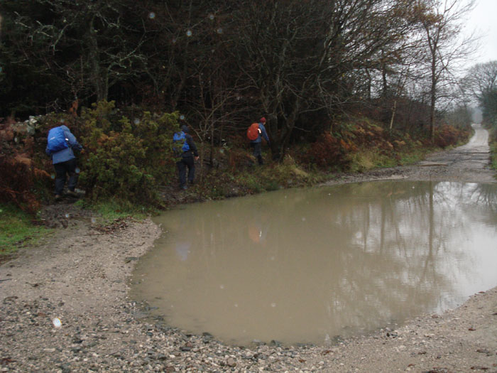
Before long we come across some rather large puddles - a sign of the previous night's heavy rain
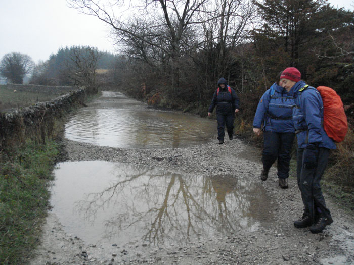
One was so large we just had to wade through it
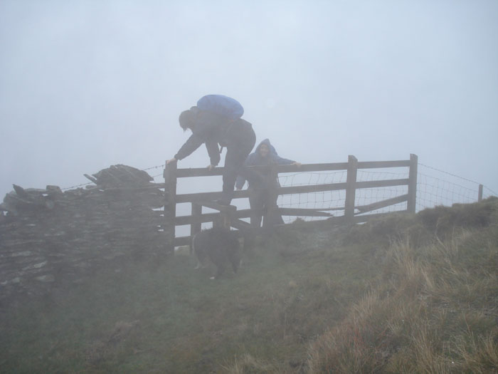
Gill, Andrea and Shep appear out of the mist on the way to Sour Howes
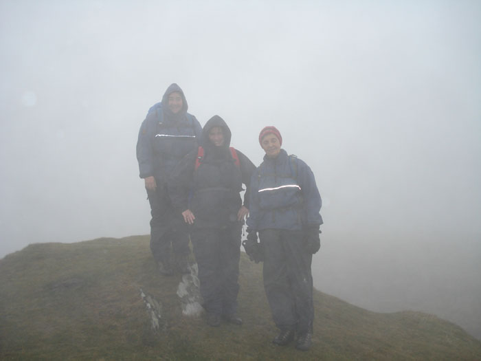
The summit is difficult to find in mist . . .
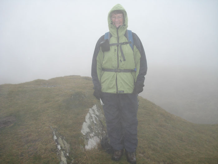
. . . but we'll opt for this one

Sallows is more distinct . . .
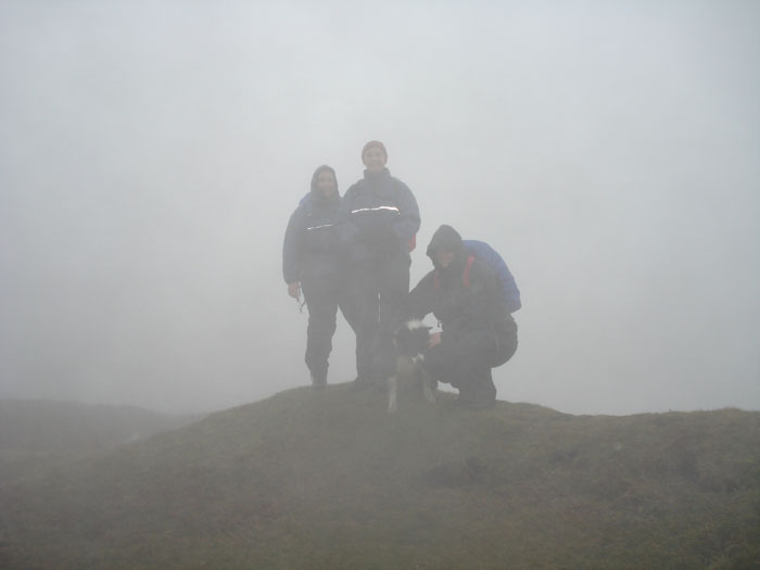
but Shep doesn't want to pose up here
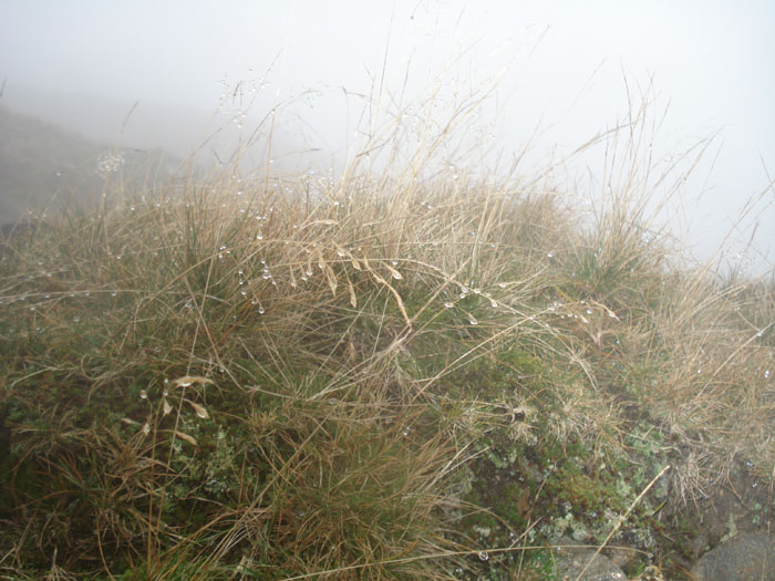
The raindrops look like jewels as we stop for elevenses on Crabtree Brow
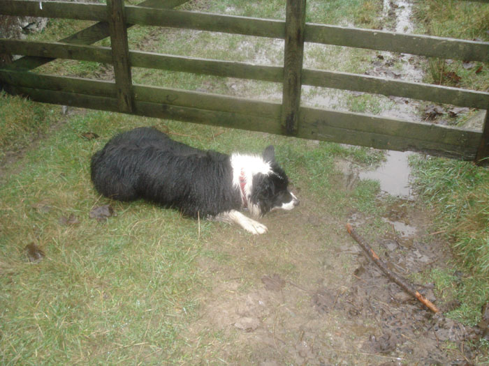
Shep, and the mandatory stick, wait by the gate
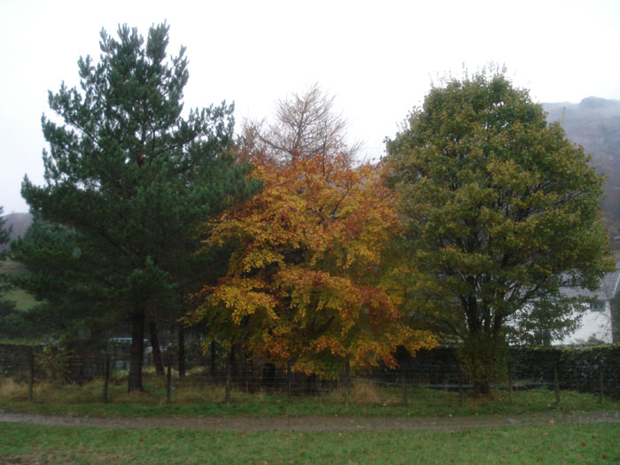
This tree would have been much more impressive with sun on it

Kentmere Hall started out as a pele tower in the 14th century, with 5ft thick walls . . .
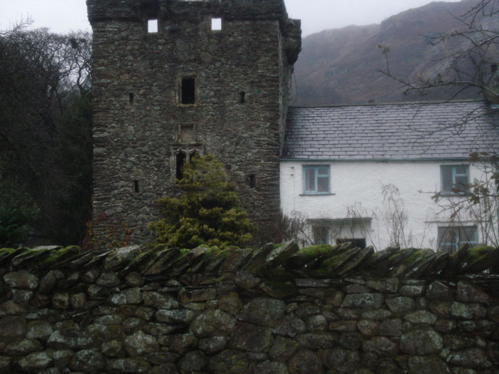
. . . but was added to in 15th-16th century, turning it into a farmhouse
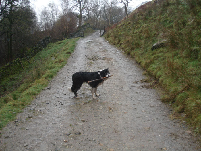
Shep waits patiently with his stick . . .
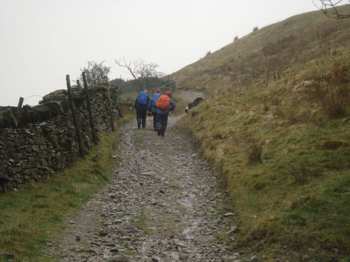
as we walk towards Whiteside End
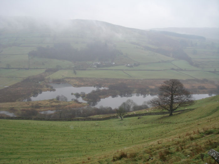
Kentmere Tarn
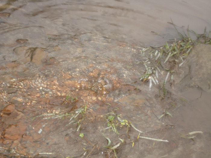
We are surprised to find a spring in the middle of the path
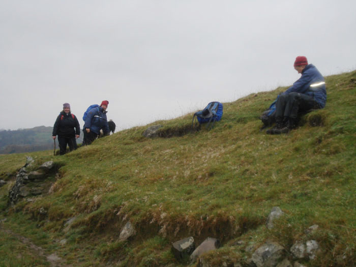
A banking provides a sheltered spot for lunch
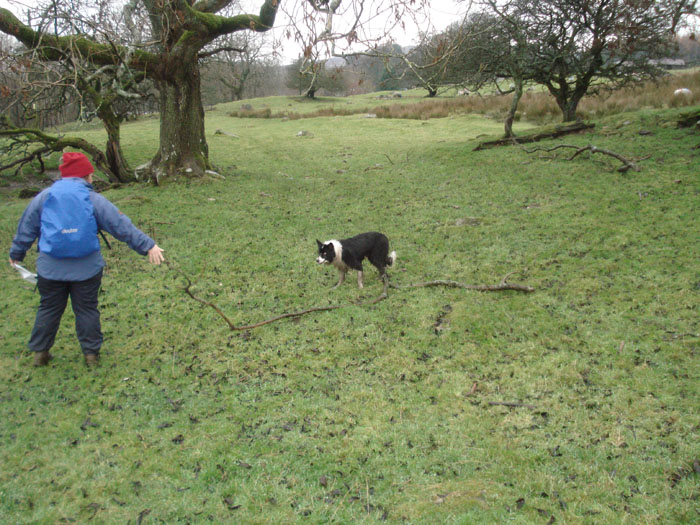
Shep was going to bring this stick, but decided to leave it behind
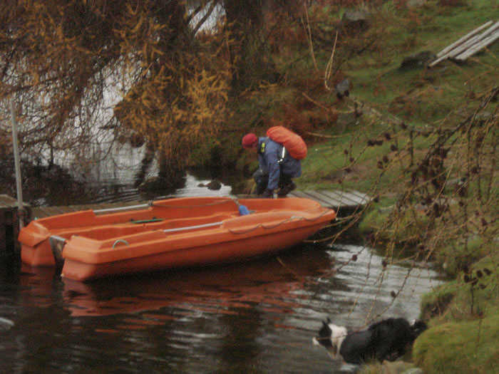
Is Marie thinking of a rowing adventure?
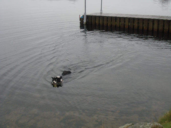
Who threw my stick in here - it's a bit cold today
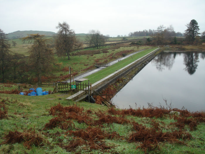
Borrans reservoir
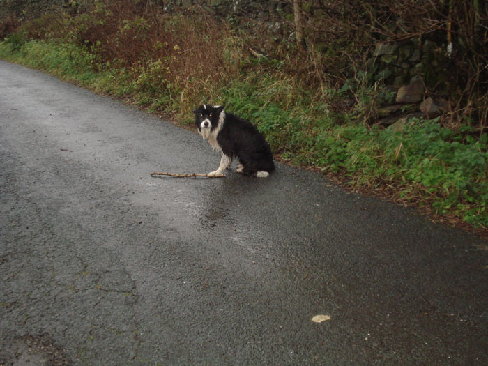
A tired looking Shep - 'Are we nearly there yet?'