|
Sunday, 18th
August 2013
| Walk: |
Brackenbottom Scar,
Pen-y-Ghent, Plover Hill, Foxup Moor, Pen-y-Ghent
Gill, Blishmire House, Dub Cote |
| Start Point: |
Horton Bridge |
Grid Ref: |
SD 811 720 |
| Distance: |
14 miles |
Ascent: |
3,000 feet |
| Weather: |
A couple of early showers clearing to a
sunny afternoon |
Time: |
6.75 hours |
| Comments: |
The rain decided to give us
a drenching as we left the cars but fortunately it
wasn't long before the weather improved and the mist
started to clear from Pen-y-Ghent. The trek from the
summit to Plover Hill always seems to take longer than
expected - probably due to the meandering route taken to
avoid the worst of the peat bog! Descending to the
bridleway we turned east for Foxup Moor and eventually
reached a pleasant green track leading to the road. We
soon dropped into Pen-y-Ghent Gill, a narrow and
sometimes rough path that contours the flanks of the
gill. After continuing on to Blishmire House we joined
the Pennine Way but resisted the temptation to follow it
back up Pen-y-Ghent. Instead we made for Dub Cote Scar
Pasture then headed past Dub Cote and back to the cars. |
Scroll down to see photos of the walk
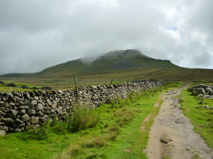
The mist still hangs around Pen-y-Ghent . . .
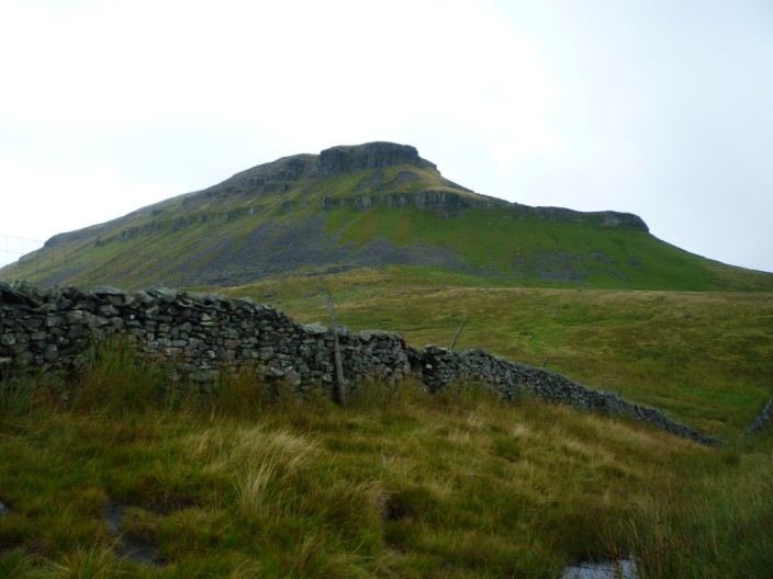
but clears as we climb higher up

The first section of our ascent is a gradual rocky climb . . .
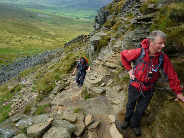
but this is followed by a more rocky section

The mist hangs in the valley as we reach the summit . . .
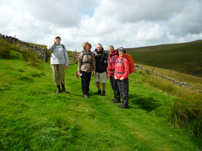
but the sun is shining by the time we reach the bridal path
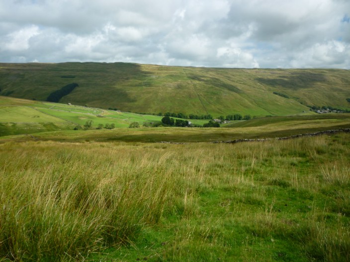
Foxup from Foxup Moor
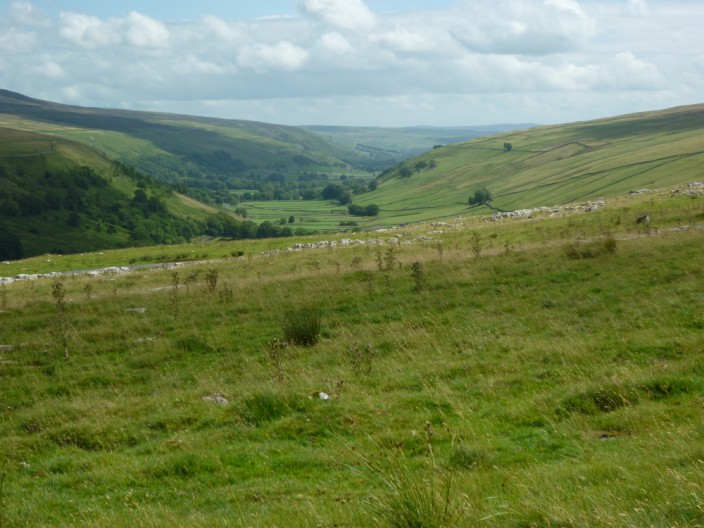
Littondale comes into view . . .
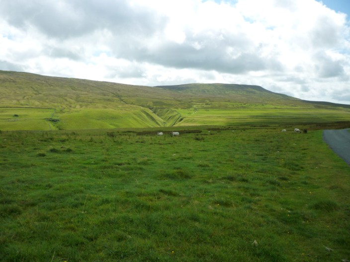
followed by Fountains Fell
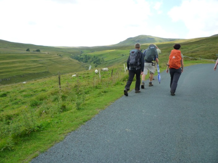
We soon leave the road . . .
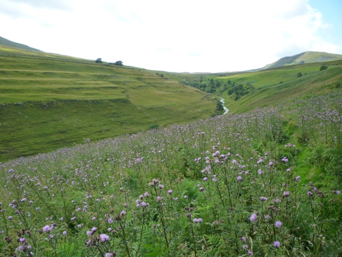
to descend into Pen-y-Ghent Gill . . .
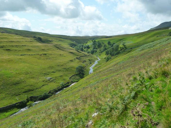
where our path is rough at times
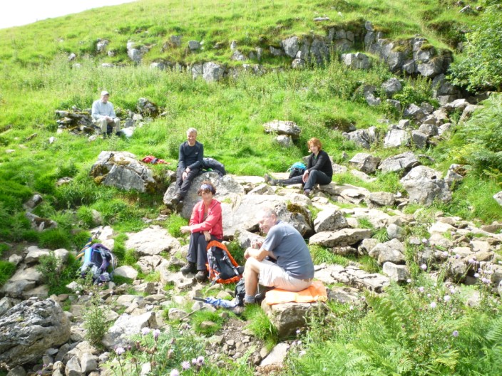
A rocky gully provides shelter from the wind
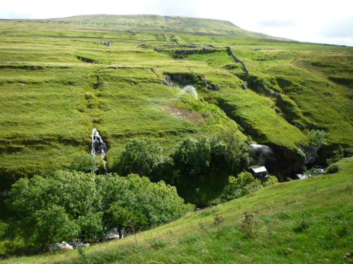
I wonder how long the pipes have been providing a local 'water
feature'?

Pen-y-Ghent comes back into view
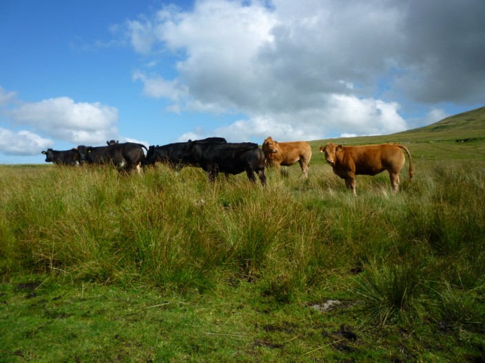
The cows kindly moved away from the gate - with a little gentle
persuasion
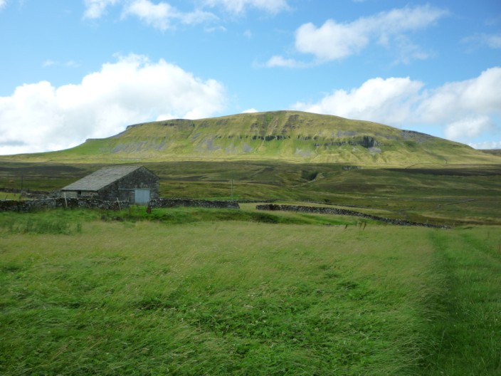
Blishmire House as the sun shines on Pen-y-Ghent
Return to top Return to 2013 Diary
|


